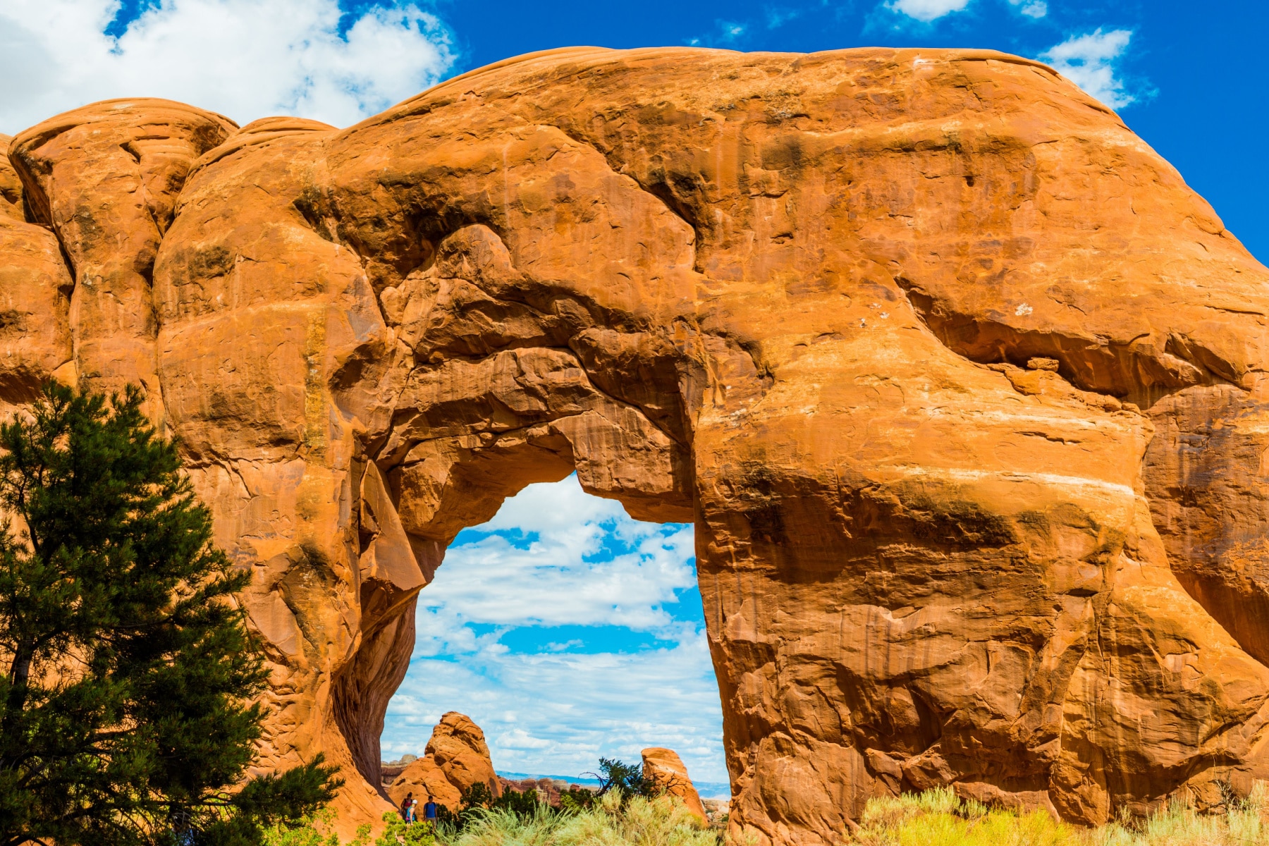
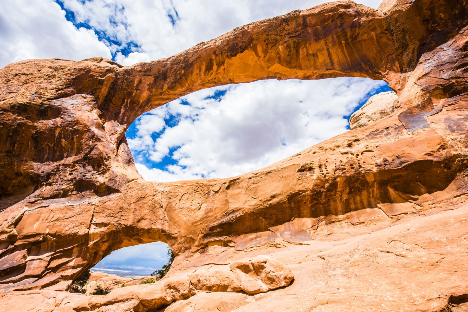
Will Landscape Arch Be Protected from Collapse?
No human interference will be used to prevent arches, like the famed Landscape Arch, from collapsing. When the Landscape Arch rockfall happened in 1991, Noel Poe was the superintendent who firmly stated, “The whole idea of a park is to let natural processes continue. We couldn’t do anything of value anyway, and we may just hasten its falling.”
Arches National Park Map
1 trails mapped — click a pin to learn more
Arches National Park at a Glance
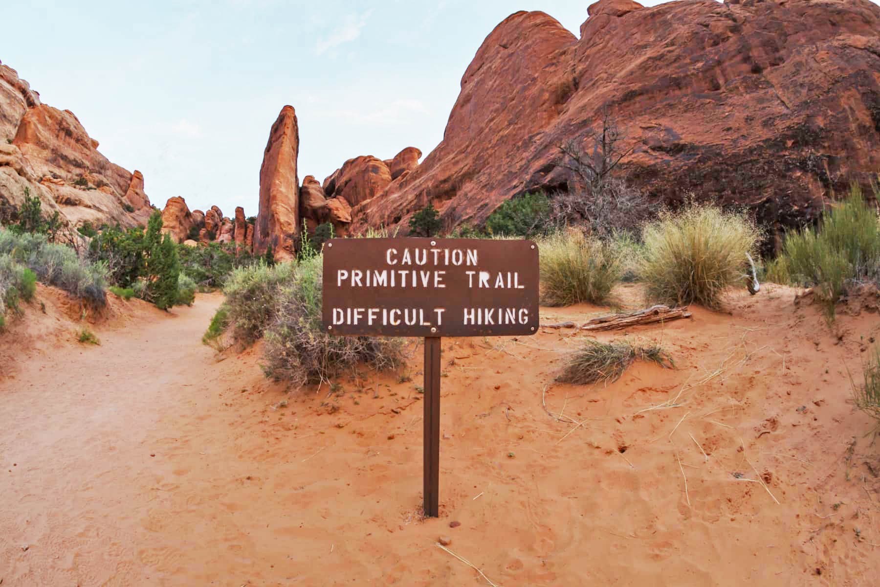
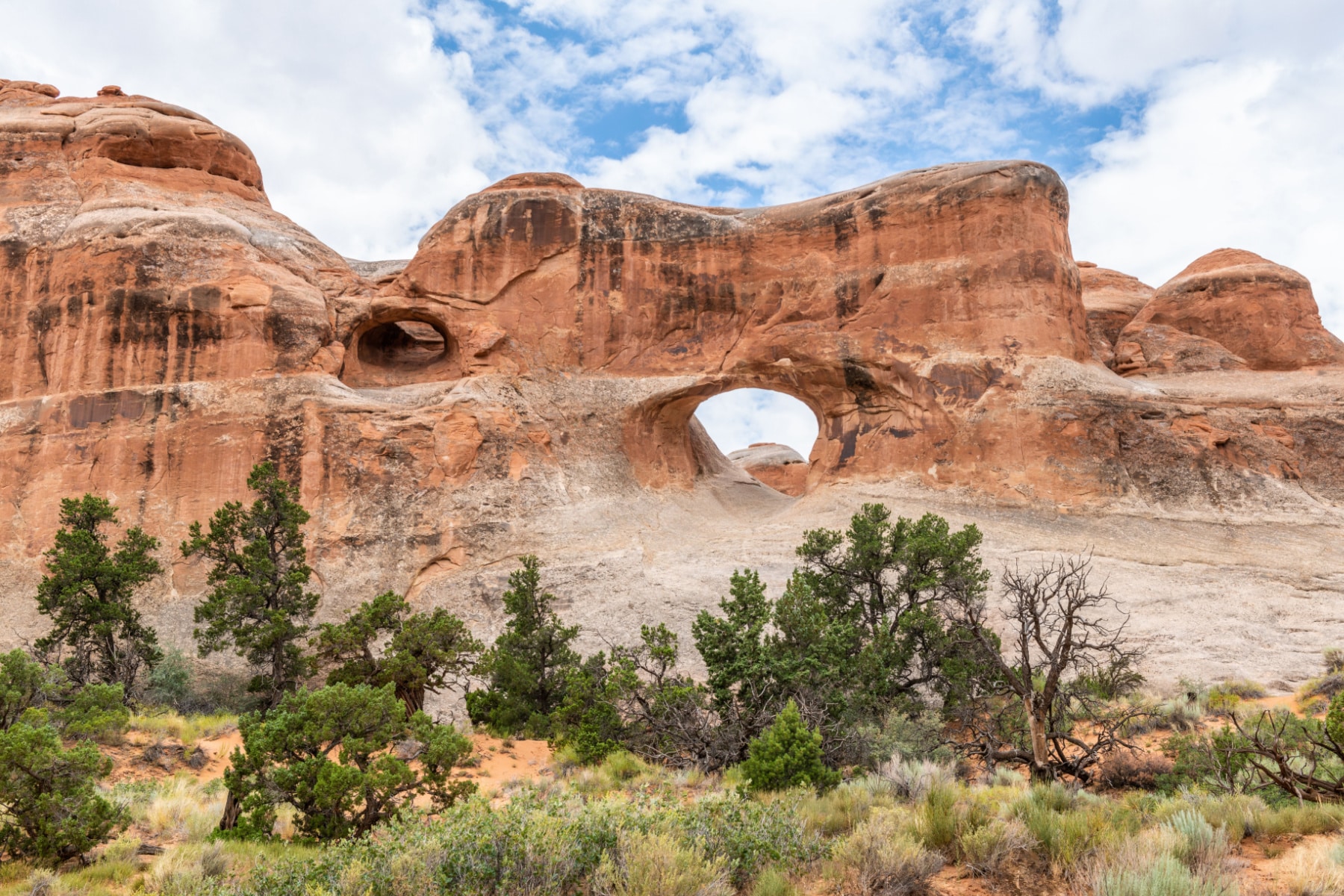
1 alertArches are designed by nature to collapse as part of the circle of life and elements of nature. While you can help preserve the arches by not walking off the trail or climbing off-limits arches, nature will eventually win.
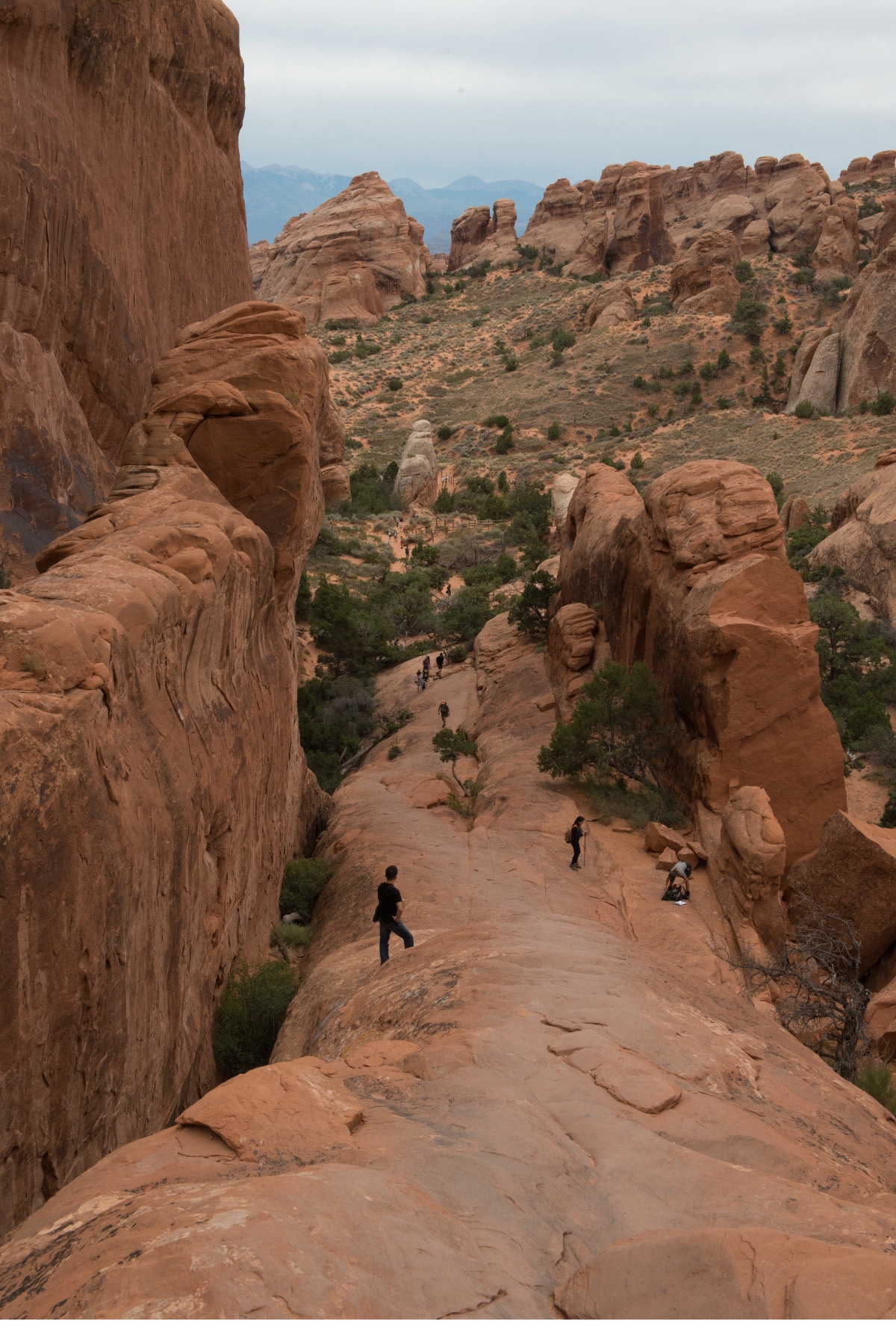
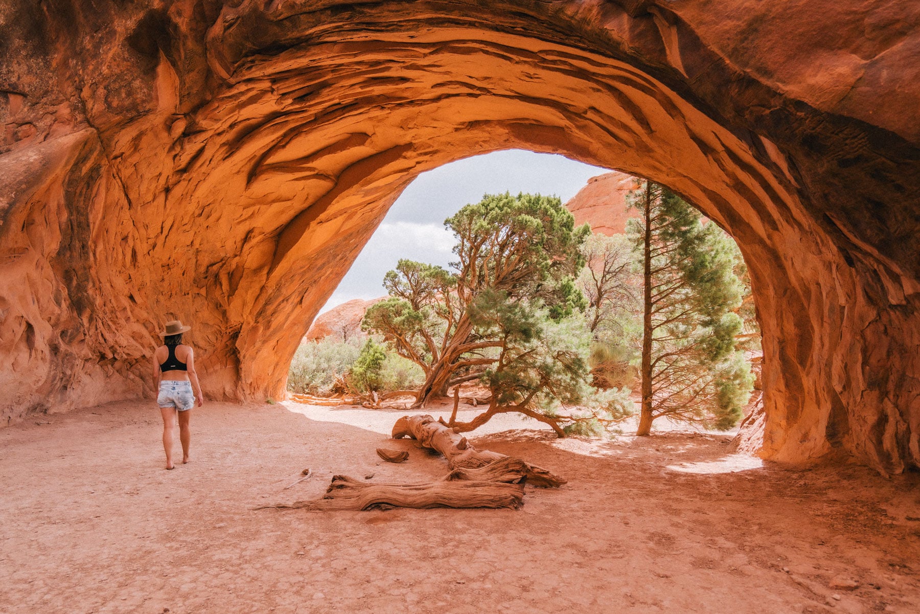
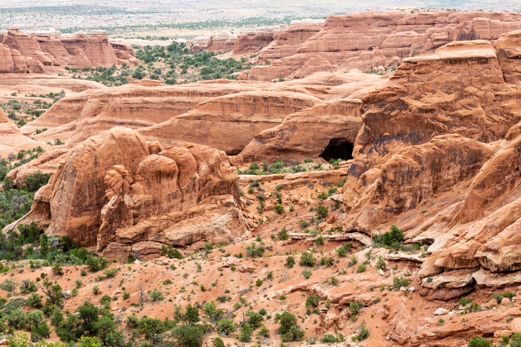
That’s exactly why we wanted to provide such a detailed guide to the Devil’s Garden hike, so you can appreciate it while it’s still in this stage of erosion.
Pin the Devils Garden Hike in Arches National Park
Things to Do Canyonlands: 20 Epic Things to Do in Canyonlands National Park


Bryce Canyon: 20 Epic Things to Do in Bryce Canyon National Park
Things to Do in Zion: 18 EPIC Things to Do in Zion National Park
Road Trip Essentials: 35+ Road Trip Essentials (You’ll Love + Packing List)
Road Trip Planning Tools: 15 BEST FREE Road Trip Planning Tools (& Apps) 2022
Zion National Park Guide: Ultimate Guide to Zion National Park
Best Hikes in Zion: 16 EPIC Hikes in Zion National Park
Things to Do in Arches: 17 EPIC Things to Do in Arches National Park
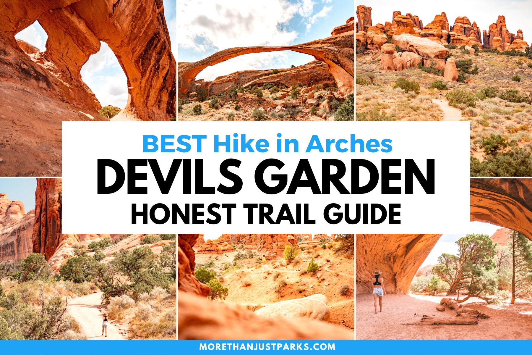
Devils Garden Hike Arches: Hiking the Epic Devils Garden Trail in Arches
Utah’s Manti-La Sal National Forest: Manti-La Sal National Forest: The Forest As Beautiful as Utah’s Parks
Utah National Parks Guide: 5 MIGHTY Utah National Parks Guide
Utah National Parks Road Trips: 5 Best Utah National Park Road Trips
Arches National Park Facts: 11 Fascinating Arches National Park Facts
Zion National Park Facts: 12 Amazing Zion National Park Facts
Capitol Reef National Park Facts: 15 Incredible Capitol Reef National Park Facts
Bryce Canyon National Park Facts: 15 Interesting Bryce Canyon National Park Facts
Canyonlands National Park Facts: 14 Fascinating Canyonlands National Park Facts
devils garden hike arches, hiking devils garden, devils garden trail, hiking devils garden trail arches national park, hike devils garden arches, devils garden hike arches, hiking devils garden, devils garden trail, hiking devils garden trail arches national park, hike devils garden arches, devils garden hike arches, hiking devils garden, devils garden trail, hiking devils garden trail arches national park, hike devils garden arches, devils garden hike arches, hiking devils garden, devils garden trail, hiking devils garden trail arches national park, hike devils garden arches, devils garden hike arches, hiking devils garden, devils garden trail, hiking devils garden trail arches national park, hike devils garden arches,
What to Bring to Arches
Gear we recommend for Arches. Affiliate links support our work at no cost to you.
Affiliate disclosure: Some links on this page earn us a small commission at no extra cost to you. We only recommend gear we actually use.