
Established
1919
Size
147,243 acres
Visitors / yr
4.7M
Entrance
$35
Best season
April through October
Nearest airport
SGU St. George Regional
01
Why Zion is worth the trip
Utah · Established 1919
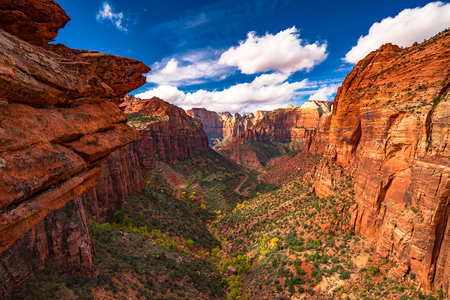
There are parks you visit and parks that rearrange you. Zion is the second kind. You drive through a tunnel bored into a cliff, round a corner, and the canyon opens below you like the earth split itself apart and forgot to close. The walls are 2,000 to 3,000 feet of Navajo sandstone, stained red and orange and cream by iron oxide and desert varnish, and in late afternoon light they glow like something that should not be geologically possible.
Established on November 19, 1919, as Utah's first national park, Zion protects 147,243 acres of canyon country in the southwest corner of the state. The park sits at the intersection of the Colorado Plateau, the Great Basin, and the Mojave Desert, which gives it a biological diversity most desert parks cannot match. You will find ponderosa pines growing on the same ridgelines as prickly pear cactus. You will see California condors circling 2,000 feet above the canyon floor. Nearly 4.7 million folks come through the gates every year, making it one of the five most visited national parks in the country. That number should not scare you away. It should tell you something about the place.
Start with our full Zion guide, then use the planning below.
02
Top things to do in Zion
Where we would start, and what we would plan a day around. Read the full guide.
Start here
20 Things to Do in Zion National Park (2026 Guide)
Read the guide
01
 Hiking · nps.gov
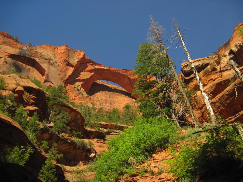
La Verkin Creek Trail to Kolob Arch
The La Verkin Creek Trail to the Kolob Arch allows hikers outstanding opportunities for solitude in a primitive area of Zion Wilderness. The trail...
02
Hiking · nps.gov
La Verkin Creek Trail to Kolob Arch
The La Verkin Creek Trail to the Kolob Arch allows hikers outstanding opportunities for solitude in a primitive area of Zion Wilderness. The trail...
02
 Hiking · nps.gov
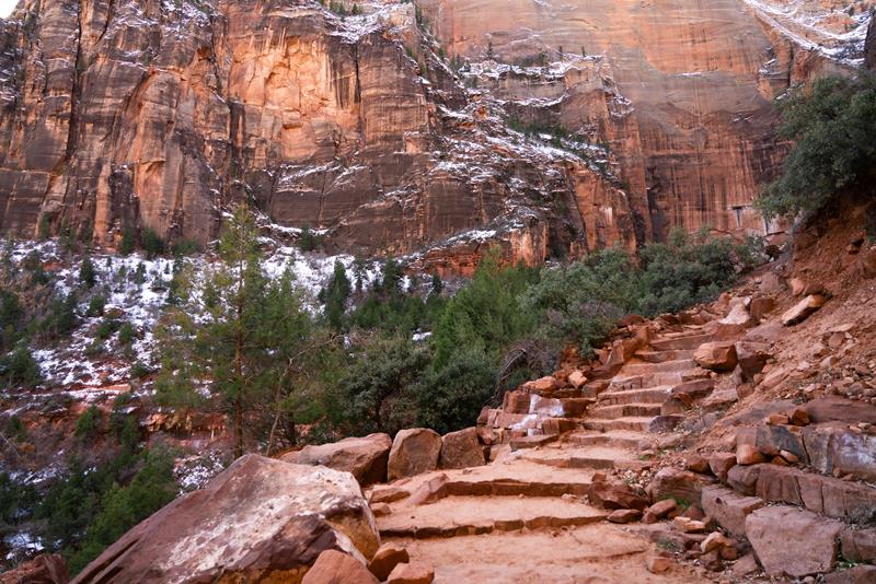
Kayenta Trail
The moderate, 2.0 mi (3.2 km) Kayenta Trail follows the Virgin River before ascending to the Lower and Upper Emerald Pool Trails. Provides panoramic...
03
Hiking · nps.gov
Kayenta Trail
The moderate, 2.0 mi (3.2 km) Kayenta Trail follows the Virgin River before ascending to the Lower and Upper Emerald Pool Trails. Provides panoramic...
03
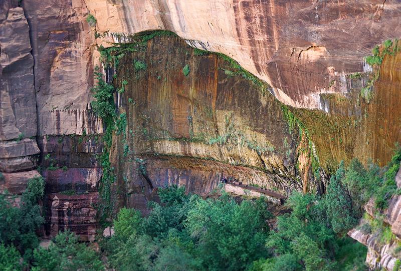 Hiking · nps.gov
Weeping Rock
Short but steep! From the parking area, you'll cross the bridge and head to the left onto a paved trail to Weeping Rock. Along...
04
Hiking · nps.gov
Weeping Rock
Short but steep! From the parking area, you'll cross the bridge and head to the left onto a paved trail to Weeping Rock. Along...
04
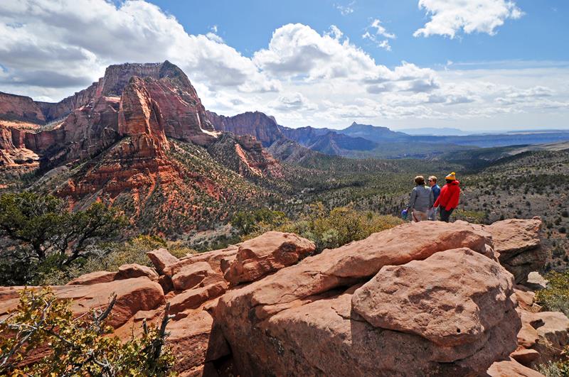 Hiking · nps.gov
Timber Creek Overlook
Follows a ridge to views of Timber Creek, Kolob Terrace, and the Pine Valley Mountains.
Hiking · nps.gov
Timber Creek Overlook
Follows a ridge to views of Timber Creek, Kolob Terrace, and the Pine Valley Mountains.
Hiking · nps.gov
La Verkin Creek Trail to Kolob Arch
The La Verkin Creek Trail to the Kolob Arch allows hikers outstanding opportunities for solitude in a primitive area of Zion Wilderness. The trail...
02
Hiking · nps.gov
Kayenta Trail
The moderate, 2.0 mi (3.2 km) Kayenta Trail follows the Virgin River before ascending to the Lower and Upper Emerald Pool Trails. Provides panoramic...
03
Hiking · nps.gov
Weeping Rock
Short but steep! From the parking area, you'll cross the bridge and head to the left onto a paved trail to Weeping Rock. Along...
04
Hiking · nps.gov
Timber Creek Overlook
Follows a ridge to views of Timber Creek, Kolob Terrace, and the Pine Valley Mountains.
03
Best hikes in Zion
The trails that define the park, with the distance and elevation numbers that decide your day.
1
The Narrows
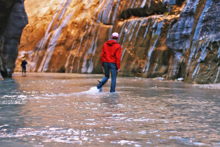
Wade the Virgin River between massive red rock canyon walls.
2
Angels Landing
The park's most famous hike, ending at its most iconic view.
3
Canyon Overlook
A short trail to one of Zion's most spectacular overlooks.
4
Timber Creek Overlook
Perhaps the most overlooked trail in Zion, out in Kolob Canyons.
5
Observation Point
Via East Mesa, with views some argue are the park's best.
Before you go
Get the Zion heads-up
Permit windows, closures and seasonal alerts, plus our best Zion guides, in your inbox before you go. Free, no spam.
Planning day by day? Zion Itinerary: How to Spend 1 to 5 Days04
Plan your trip
Our guides for the big decisions, plus the gear, maps and lodging we would actually use for Zion.
Where to stay
Gateway towns with lodging, food and outfitters.
Maps & guides
Carry paper. Cell service dies fast inside most parks.
America the Beautiful pass
$80 a year. Covers entrance fees at more than 2,000 federal recreation sites.
Get the pass
What to bring
Field-tested picks we bring on park trips.
-
Sun HatFull-brim coverage for exposed trails with zero shade. View on REI
-
Water BottlesCarry at least 2 liters. More in desert heat. View on REI
-
Hiking BootsAnkle support and grip for rocky, uneven terrain. View on REI
-
Sun-Protective ShirtUPF 50+ fabric keeps you cool and blocks UV all day. View on REI
Getting there
- SGU St. George Regional 46 mi
- CDC Cedar City Regional 57 mi
- LAS Las Vegas McCarran 170 mi
Some links in this section are affiliate links. If you book or buy through them we earn a small commission at no extra cost to you. We only recommend what we would use ourselves.
Zion map
VC Visitor Center
CG Campground
Nearby Park
05
Read our seasonal guide
When to go
Loading weather...
Month-by-Month Conditions
Tap any month for details
Month
High
Low
Crowds
Roads
Jan
54°
30°
Low
Open
Feb
58°
34°
Light
Open
Mar
66°
39°
Moderate
Open
Apr Best
73°
44°
Heavy
Open
May Best
84°
52°
Heavy
Open
Jun Best
95°
62°
Heavy
Open
Jul Best
100°
70°
Heavy
Open
Aug Best
98°
69°
Heavy
Open
Sep Best
91°
61°
Heavy
Open
Oct Best
78°
49°
Heavy
Open
Nov
64°
37°
Moderate
Open
Dec
52°
29°
Light
Open
Best months to visit
Crowd level (low to peak)

Watch our film
Zion National Park 8K
Most folks see Zion in summer crowds. We shot it in fall, when the canyon goes gold and the shuttle lines thin out, and we'd argue it is the better season by a mile. If you watch one of our desert films, make it this one.
Browse all our national park films06
More Zion guides
National Parks
National Parks
Spring in Zion National Park: Waterfalls, Green, and the Narrows Question
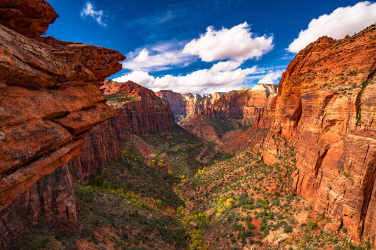
Itineraries
Zion Itinerary: How to Spend 1 to 5 Days

Best of National Parks
Zion vs Bryce Canyon: Which Utah Park Is Better?

National Parks
16 Hikes in Zion National Park
National Parks
Why We Don’t Recommend Hiking Angels Landing in Zion
National Parks
The Narrows Hike in Zion: An Honest Guide
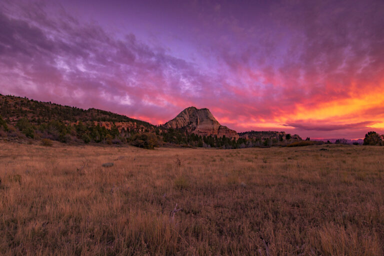
Educational Resources
12 Zion National Park Facts Worth Knowing
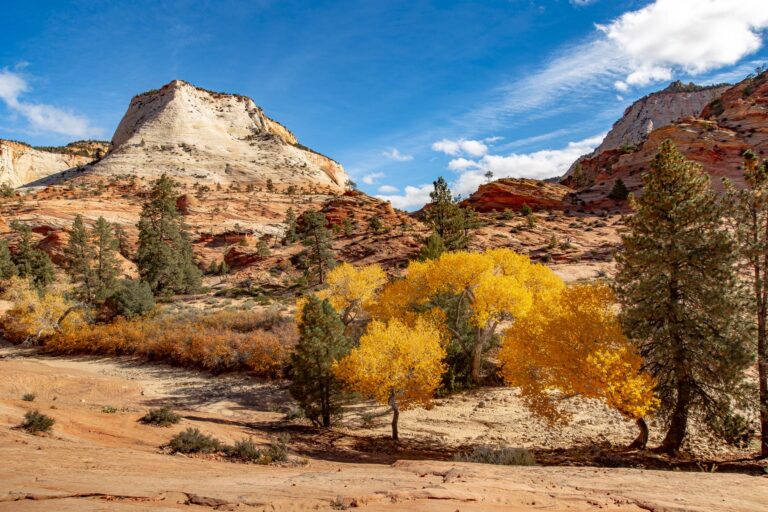
Fall
Best Time to Visit Zion National Park: A Season-by-Season Guide
Things to Do
20 Things to Do in Zion National Park (2026 Guide)
National Park Guides
Zion National Park Guide

National Parks
Pine Creek Canyon: Zion’s Classic Slot Canyoneering Route

National Parks
Kolob Canyons: Zion’s Quiet Northwest Corner
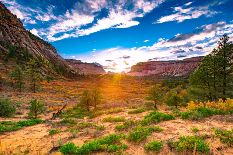
National Parks
Zion National Park Fee and Permit Changes (2026 Update)

National Parks
Zion Rockfall at Weeping Rock: Is It Safe Now? (2026 Update)

National Parks
Zion-Mt. Carmel Highway Scenic Drive
National Parks
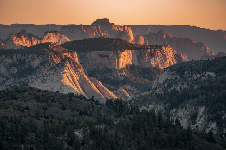
Lava Point Overlook in Zion
07
Parks near Zion
Within reach if you are building a longer trip.
Worth protecting
Zion belongs to all of us
Protections that took generations to win can be rolled back in a single session of Congress. We keep watch so they hold.
Stay in the Loop
Free dispatches on the parks and the policy fights around them, almost every day. Threats tracked, wins celebrated, no fluff.
Threatened Lands Map
Follow what's happening on federal lands across the country with our interactive map.
View the Tracker