

Established
1928
Size
35,835 acres
Visitors / yr
2.4M
Entrance
$35
Best season
May through September
Nearest airport
SGU St. George Regional
01
Why Bryce Canyon is worth the trip
Utah · Established 1928
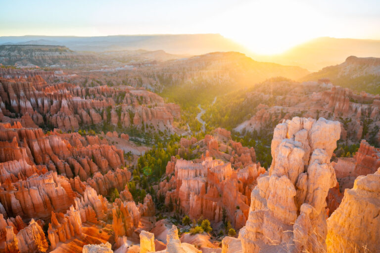
Bryce is not really a canyon. It is a string of amphitheaters carved into a high plateau rim and filled with the largest collection of hoodoos on Earth, thousands of limestone spires glowing orange and pink between 8,000 and 9,100 feet. The elevation is the sleeper feature. Summer mornings run cool, aspens turn gold in fall, and winter dusts the hoodoos with snow for a red-and-white contrast worth planning a January trip around.
Do not settle for the rim. Drop into the amphitheater on the Navajo Loop and walk the switchbacks of Wall Street, where the spires close overhead and the crowd noise dies. Catch sunrise at Sunrise Point, when the whole bowl lights up like coals, and stay out late. Rangers here have run astronomy programs for decades because the dark sky deserves them.
Start with our full Bryce Canyon guide, then use the planning below.
02
Top things to do in Bryce Canyon
Where we would start, and what we would plan a day around. Read the full guide.

Start here
20 Things to Do at Bryce Canyon National Park
Read the guide
01
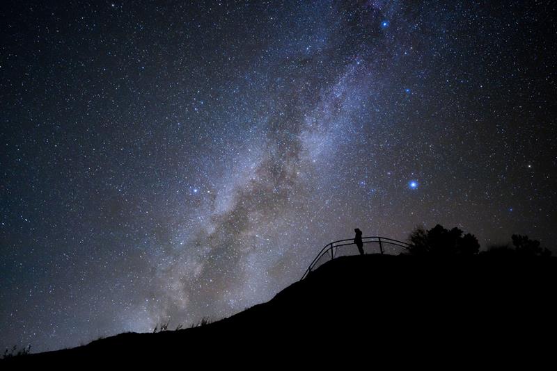 Stargazing · nps.gov
See the Night Sky
Bryce Canyon is a sanctuary for natural darkness. Bryce Canyon's skies are so dark, that in 2019 the park was designated as a Gold Tier...
02
Stargazing · nps.gov
See the Night Sky
Bryce Canyon is a sanctuary for natural darkness. Bryce Canyon's skies are so dark, that in 2019 the park was designated as a Gold Tier...
02
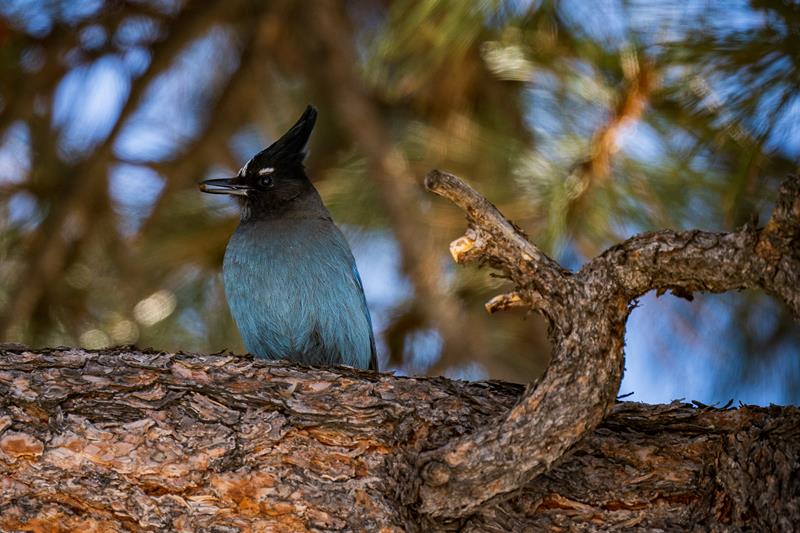 Birdwatching · nps.gov
Birdwatching
175 different species of birds have been documented to frequent Bryce Canyon National Park. Some are just passing through. Others stay for an entire...
03
Birdwatching · nps.gov
Birdwatching
175 different species of birds have been documented to frequent Bryce Canyon National Park. Some are just passing through. Others stay for an entire...
03
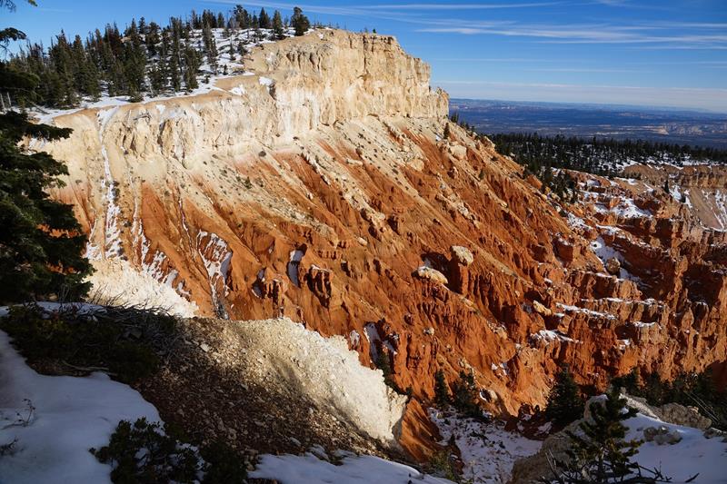 Front-Country Hiking · nps.gov
Bristlecone Loop Trail
The Bristlecone Loop, an easy 1 mile hike, meanders through the forest atop this highest portion of the park, reaching elevations over 9,100 feet...
04
Front-Country Hiking · nps.gov
Bristlecone Loop Trail
The Bristlecone Loop, an easy 1 mile hike, meanders through the forest atop this highest portion of the park, reaching elevations over 9,100 feet...
04
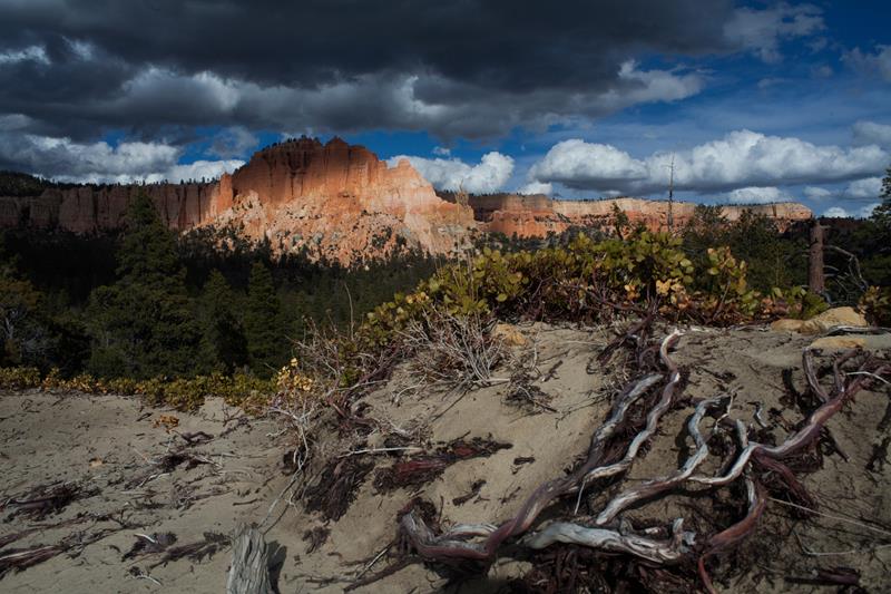 Backcountry Hiking · nps.gov
Swamp Canyon Loop
Swamp Canyon appears relatively small and sheltered from the overlook, allowing the viewer to develop a more intimate connection with the landscape than some...
Backcountry Hiking · nps.gov
Swamp Canyon Loop
Swamp Canyon appears relatively small and sheltered from the overlook, allowing the viewer to develop a more intimate connection with the landscape than some...
Stargazing · nps.gov
See the Night Sky
Bryce Canyon is a sanctuary for natural darkness. Bryce Canyon's skies are so dark, that in 2019 the park was designated as a Gold Tier...
02
Birdwatching · nps.gov
Birdwatching
175 different species of birds have been documented to frequent Bryce Canyon National Park. Some are just passing through. Others stay for an entire...
03
Front-Country Hiking · nps.gov
Bristlecone Loop Trail
The Bristlecone Loop, an easy 1 mile hike, meanders through the forest atop this highest portion of the park, reaching elevations over 9,100 feet...
04
Backcountry Hiking · nps.gov
Swamp Canyon Loop
Swamp Canyon appears relatively small and sheltered from the overlook, allowing the viewer to develop a more intimate connection with the landscape than some...
03
Best hikes in Bryce Canyon
The trails that define the park, with the distance and elevation numbers that decide your day.
Before you go
Get the Bryce Canyon heads-up
Permit windows, closures and seasonal alerts, plus our best Bryce Canyon guides, in your inbox before you go. Free, no spam.
04
Plan your trip
Our guides for the big decisions, plus the gear, maps and lodging we would actually use for Bryce Canyon.
Where to stay
Gateway towns with lodging, food and outfitters.
Maps & guides
Carry paper. Cell service dies fast inside most parks.
America the Beautiful pass
$80 a year. Covers entrance fees at more than 2,000 federal recreation sites.
Get the pass
What to bring
Field-tested picks we bring on park trips.
-
Sun HatFull-brim coverage for exposed trails with zero shade. View on REI
-
Water BottlesCarry at least 2 liters. More in desert heat. View on REI
-
Hiking BootsAnkle support and grip for rocky, uneven terrain. View on REI
-
Sun-Protective ShirtUPF 50+ fabric keeps you cool and blocks UV all day. View on REI
Getting there
- SGU St. George Regional 126 mi
- CDC Cedar City Regional 78 mi
- LAS Las Vegas McCarran 270 mi
Some links in this section are affiliate links. If you book or buy through them we earn a small commission at no extra cost to you. We only recommend what we would use ourselves.
Bryce Canyon map
VC Visitor Center
CG Campground
Nearby Park
05
When to go
Loading weather...
Month-by-Month Conditions
Tap any month for details
Month
High
Low
Crowds
Roads
Jan
37°
17°
Low
Open
Feb
39°
18°
Low
Open
Mar
46°
23°
Light
Open
Apr
54°
29°
Heavy
Open
May Best
63°
37°
Peak
Open
Jun Best
75°
45°
Peak
Open
Jul Best
80°
52°
Peak
Open
Aug Best
78°
50°
Heavy
Open
Sep Best
70°
42°
Peak
Open
Oct
58°
32°
Heavy
Open
Nov
46°
23°
Light
Open
Dec
37°
17°
Low
Open
Best months to visit
Crowd level (low to peak)

07
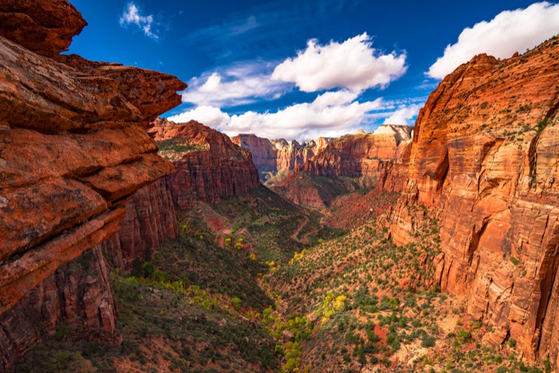
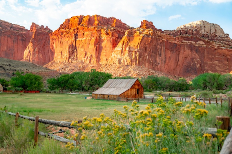
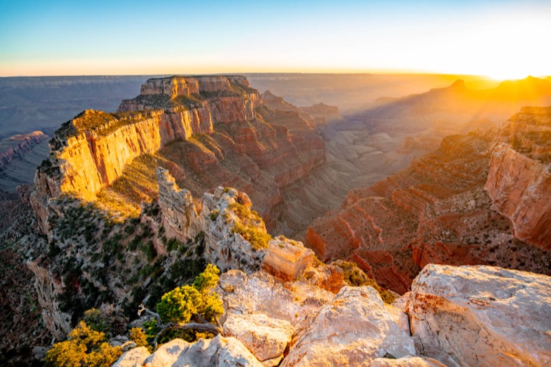
Parks near Bryce Canyon
Within reach if you are building a longer trip.
Worth protecting
Bryce Canyon belongs to all of us
Protections that took generations to win can be rolled back in a single session of Congress. We keep watch so they hold.
Stay in the Loop
Free dispatches on the parks and the policy fights around them, almost every day. Threats tracked, wins celebrated, no fluff.
Threatened Lands Map
Follow what's happening on federal lands across the country with our interactive map.
View the Tracker