
Established
1971
Size
241,904 acres
Visits in 2025
1.4M
Entrance
$20
Best season
March through May, September through October
Nearest airport
SLC Salt Lake City International
01
Why Capitol Reef is worth the trip
Utah · Established 1971
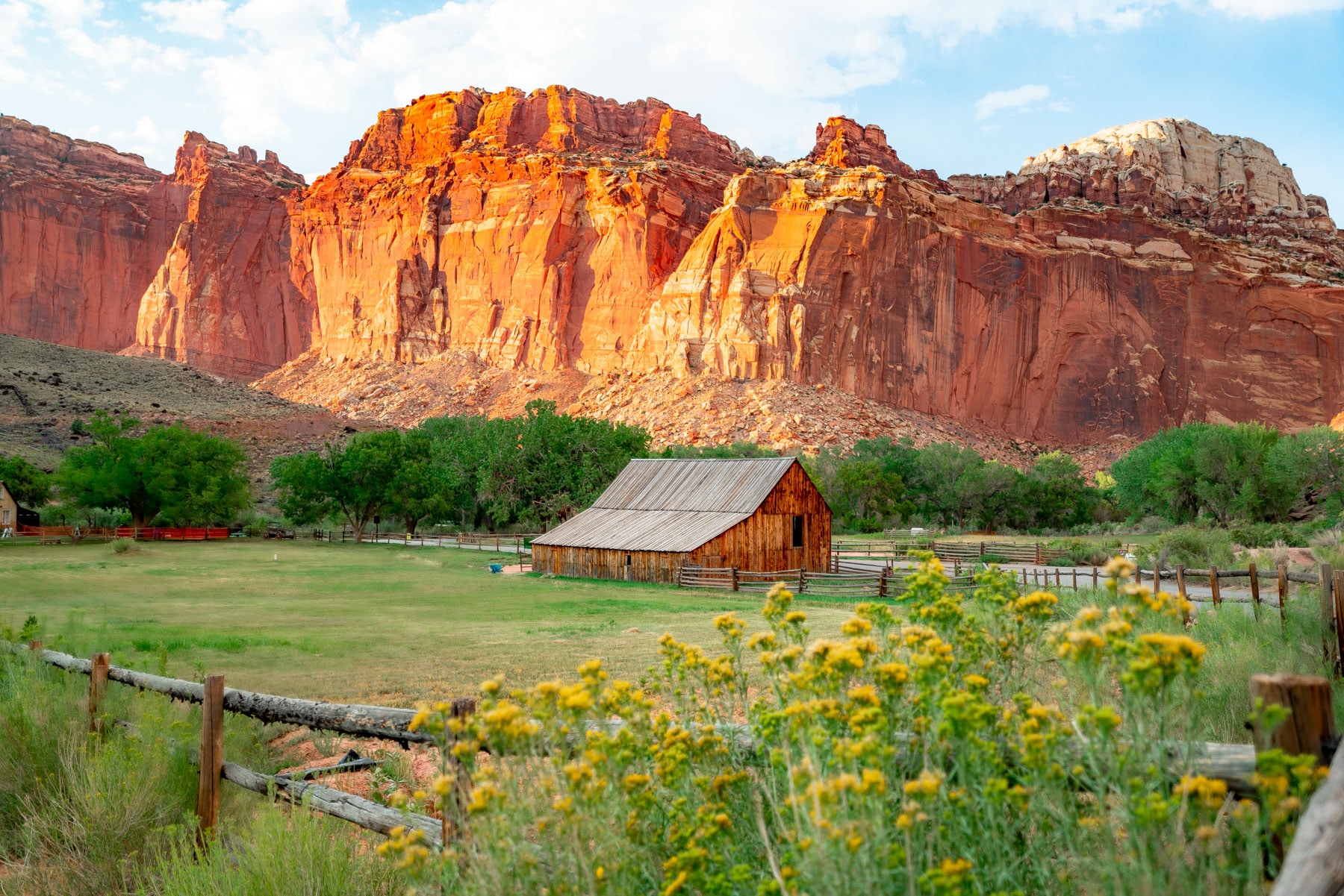
Capitol Reef is the Utah park folks skip, which is exactly why you should not. The centerpiece is the Waterpocket Fold, a 100-mile wrinkle in the earth's crust running like a stone reef across south-central Utah, all domes, slot canyons, and cliffs banded in cream and rust.
The twist is the oasis at its heart. Mormon settlers planted orchards along the Fremont River at Fruita in the 1880s, and the park still tends them. In season you can pick apples, peaches, and cherries inside a national park for pocket change, then eat pie from the Gifford House while mule deer graze the lawn. Add thousand-year-old Fremont petroglyphs and a scenic drive with a fraction of Zion's traffic, and you have the sleeper hit of Utah canyon country.
Capitol Reef National Park drew 1.39 million visits in 2025, the 22nd most visited of the 63 national parks.
Start with our full Capitol Reef guide, then use the planning below.
Visits are 2025 recreation visits from NPS Visitor Use Statistics (irma.nps.gov), read July 30, 2026.
02
Top things to do in Capitol Reef
Where we would start, and what we would plan a day around. Read the full guide.
Start here
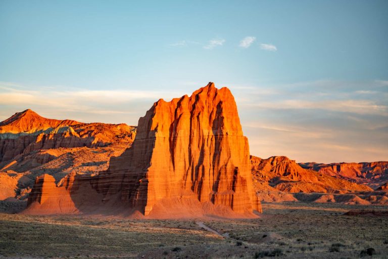
25 Things to Do in Capitol Reef National Park
Read the guide
01
 Stargazing · nps.gov
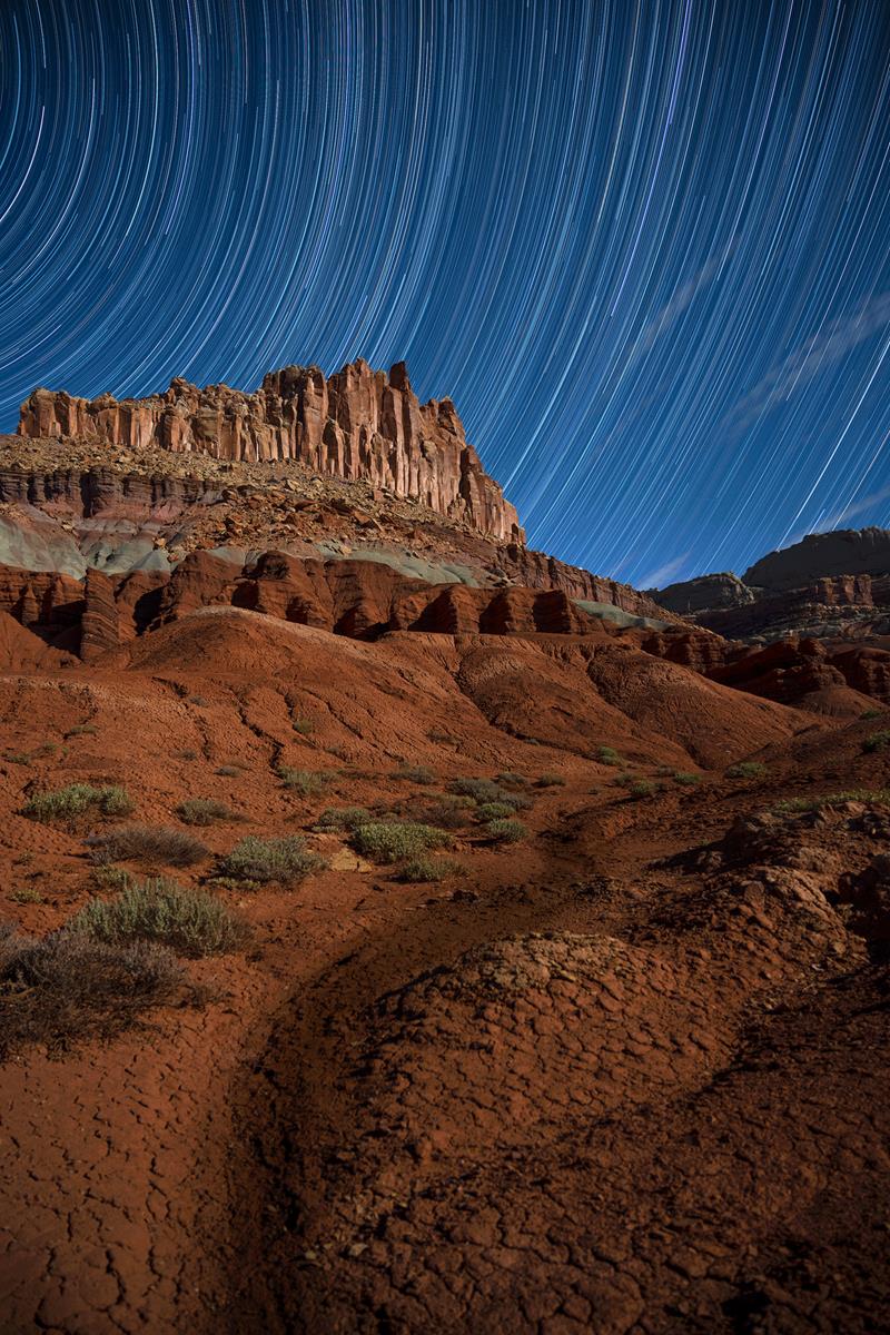
Stargaze
Capitol Reef protects extremely dark night skies, and is a wonderful place to stargaze.
02
 Biking · nps.gov
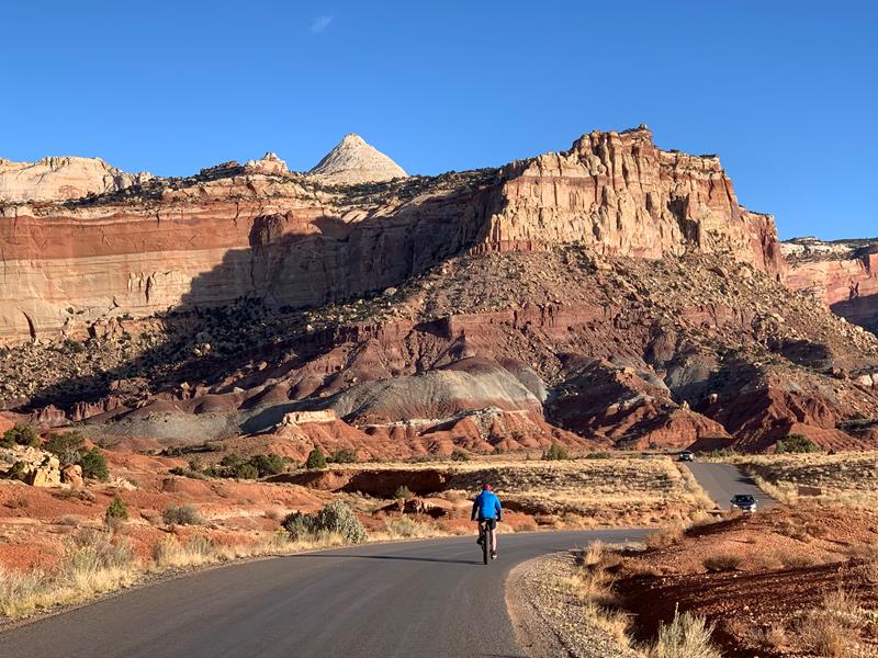
Bicycle Touring
Bicycling touring in Capitol Reef offers opportunities to explore paved and unpaved roads throughout the park. Explore colorful canyons, beautiful vistas of red rock...
03
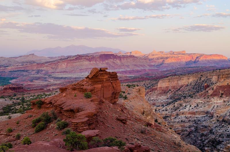 Front-Country Hiking · nps.gov
Watch the Sunset
Watch the sunset from various scenic points in Capitol Reef. Take an easy stroll or a strenuous hike as the sun goes down. Don't...
04
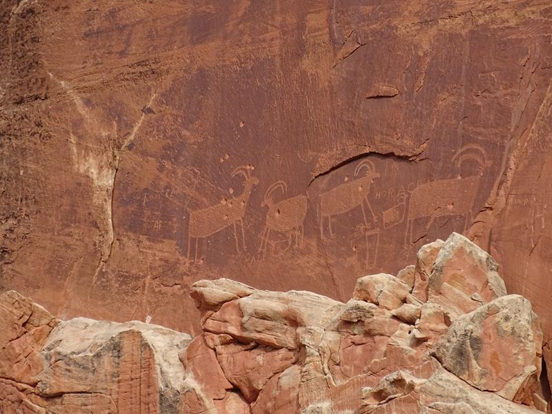 Self-Guided Tours - Walking · nps.gov
Visit the Petroglyph Panel
From 600 to 1300 C.E., native people of the Fremont Culture made their home at Capitol Reef. Petroglyphs carved into the Wingate sandstone remind...
Stargazing · nps.gov
Stargaze
Capitol Reef protects extremely dark night skies, and is a wonderful place to stargaze.
02
Biking · nps.gov
Bicycle Touring
Bicycling touring in Capitol Reef offers opportunities to explore paved and unpaved roads throughout the park. Explore colorful canyons, beautiful vistas of red rock...
03
Front-Country Hiking · nps.gov
Watch the Sunset
Watch the sunset from various scenic points in Capitol Reef. Take an easy stroll or a strenuous hike as the sun goes down. Don't...
04
Self-Guided Tours - Walking · nps.gov
Visit the Petroglyph Panel
From 600 to 1300 C.E., native people of the Fremont Culture made their home at Capitol Reef. Petroglyphs carved into the Wingate sandstone remind...
Before you go
Get the Capitol Reef heads-up
Permit windows, closures and seasonal alerts, plus our best Capitol Reef guides, in your inbox before you go. Free, no spam.
03
Plan your trip
Our guides for the big decisions, plus the gear, maps and lodging we would actually use for Capitol Reef.
Where do people stay when visiting Capitol Reef?
Lodging, food and outfitters are in the gateway towns of Torrey and Bicknell, and inside the park you can camp at Primitive campsites at Cathedral Campground, Primitive campsites at Cedar Mesa Campground and other park campgrounds.
- Torrey, UTGateway town
- Bicknell, UTGateway town
- Primitive campsites at Cathedral Campground 6 sites
- Primitive campsites at Cedar Mesa Campground 5 sites
Maps & guides
Carry paper. Cell service dies fast inside most parks.
America the Beautiful pass
$80 a year. Covers entrance fees at more than 2,000 federal recreation sites.
Get the pass
What to bring
Field-tested picks we bring on park trips.
-
Sun HatFull-brim coverage for exposed trails with zero shade. View on REI
-
Water BottlesCarry at least 2 liters. More in desert heat. View on REI
-
Hiking BootsAnkle support and grip for rocky, uneven terrain. View on REI
-
Sun-Protective ShirtUPF 50+ fabric keeps you cool and blocks UV all day. View on REI
Getting there
- SLC Salt Lake City International 220 mi
- SGU St. George Regional 210 mi
Some links in this section are affiliate links. If you book or buy through them we earn a small commission at no extra cost to you. We only recommend what we would use ourselves.
Capitol Reef map
VC Visitor Center
CG Campground
Nearby Park
04
When to go
Loading weather...
Month-by-Month Conditions
Tap any month for details
Month
High
Low
Crowds
Roads
Jan
41°
20°
Low
Open
Feb
47°
26°
Low
Open
Mar Best
58°
34°
Moderate
Open
Apr Best
65°
39°
Heavy
Open
May Best
74°
48°
Peak
Open
Jun
87°
58°
Peak
Open
Jul
91°
65°
Moderate
Open
Aug
88°
63°
Moderate
Open
Sep
80°
55°
Peak
Open
Oct
66°
43°
Peak
Open
Nov
51°
31°
Light
Open
Dec
40°
21°
Low
Open
Best months to visit
Crowd level (low to peak)


06
Parks near Capitol Reef
Within reach if you are building a longer trip.
Worth protecting
Capitol Reef belongs to all of us
Protections that took generations to win can be rolled back in a single session of Congress. We keep watch so they hold.
Stay in the Loop
Free dispatches on the parks and the policy fights around them, almost every day. Threats tracked, wins celebrated, no fluff.
Threatened Lands Map
Follow what's happening on federal lands across the country with our interactive map.
View the Tracker