
Established
2026 national monument from 1924
Size
12,025 acres
Visits in 2025
70.4K
Entrance
Free
01
Why Chiricahua is worth the trip
Arizona · Established 2026
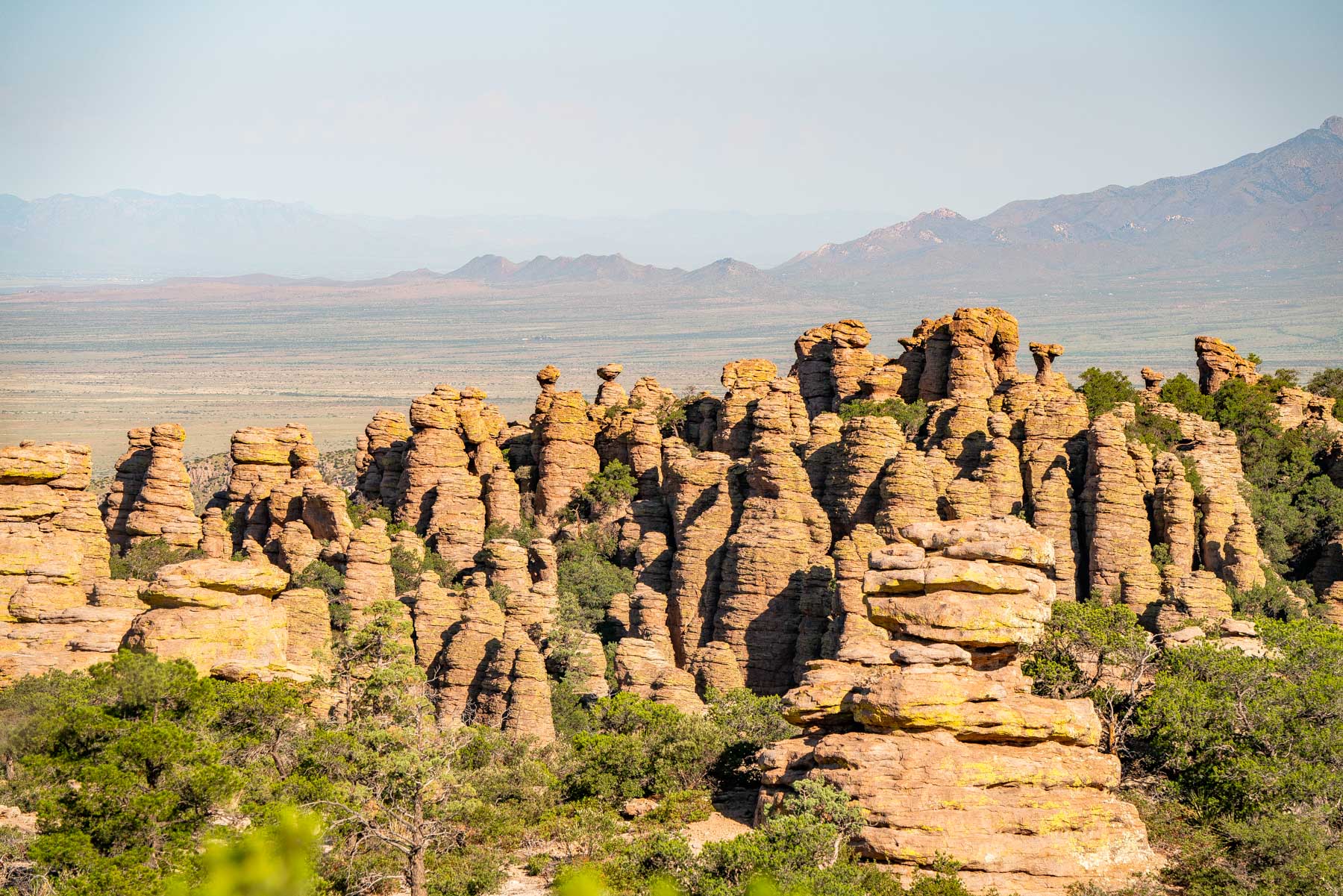
Chiricahua protects a forest of standing rock. Thousands of rhyolite spires and balanced boulders crowd the canyons of the Chiricahua Mountains, left by a volcanic eruption roughly 27 million years ago and worn into columns ever since. The range is a sky island, a mountain block rising between two deserts, so desert, grassland and forest all meet inside about 12,000 acres.
The 8-mile Bonita Canyon Drive climbs from the entrance at 5,124 feet to Massai Point, where the spires fill the view in every direction. From there 17 miles of trails drop into Echo Canyon and its grottoes and out to Big Balanced Rock on the Heart of Rocks Loop. Faraway Ranch, near the entrance, keeps the homesteaders' story, and the mountains are the homeland of the Chiricahua Apache. It was a national monument from 1924 until the Chiricahua National Park Act made it a national park on October 20, 2026. There is no entrance fee, the road stays open all night, and the park is an International Dark Sky Park.
Chiricahua National Monument drew 70,406 visits in 2025.
Visits are 2025 recreation visits from NPS Visitor Use Statistics (irma.nps.gov), read October 26, 2026.
02
Top things to do in Chiricahua
Where we would start, and what we would plan a day around.
01
 Hiking · nps.gov
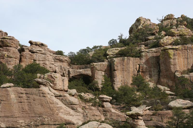
Trail to Natural Bridge
This trail is a great opportunity to avoid the crowds in March and to see wildlife. It crosses through a stunning variety of ecosystems...
02
 Hiking · nps.gov
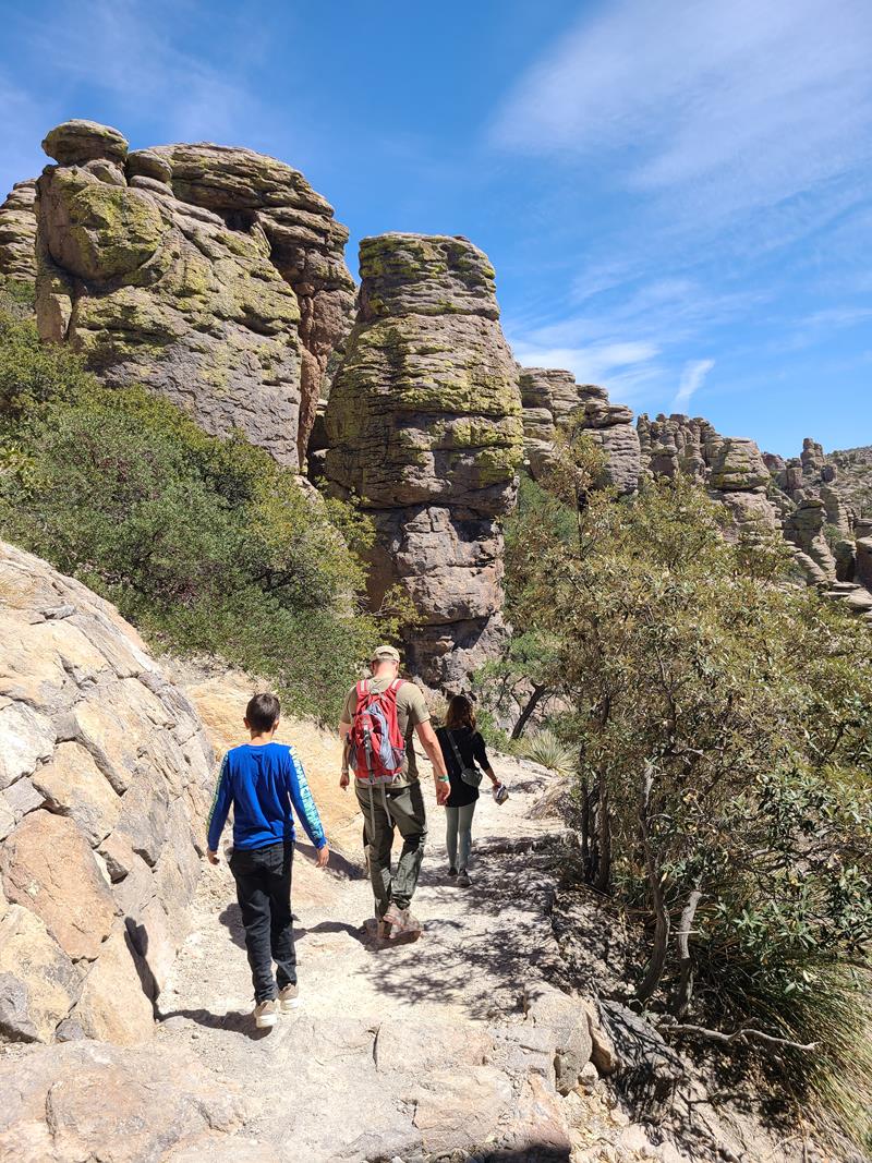
Hike the Trails at Chiricahua
17 miles of trails will take you into a wilderness of rocks. Chiricahua offers a range of day hiking options from easy to strenuous.
03
 Horseback Riding · nps.gov
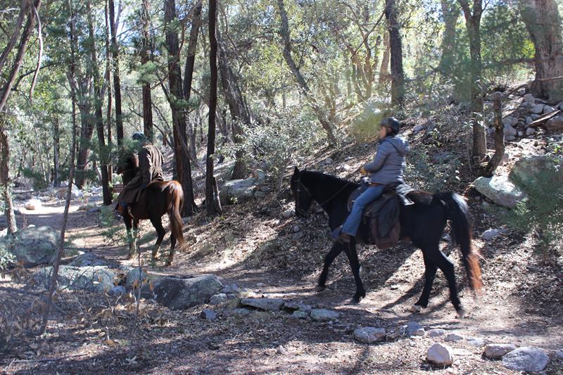
Horseback Riding at Chiricahua
Come explore the "Wonderland of Rocks" on horseback!
04
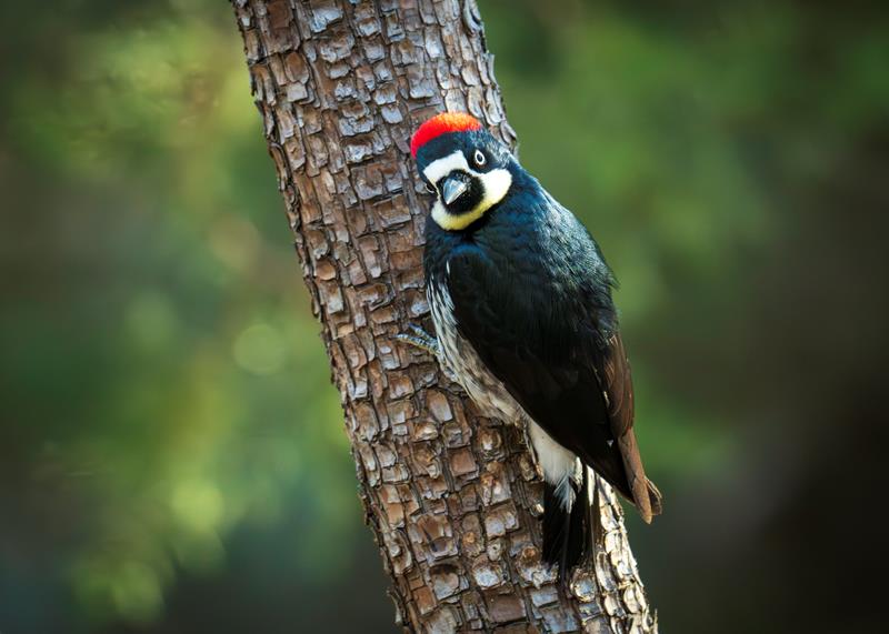 Birdwatching · nps.gov
Birdwatching at Chiricahua
Chiricahua is a haven for birdwatchers, with over 200 different bird species documented in the area! The best places for birdwatching include Bonita Creek...
Hiking · nps.gov
Trail to Natural Bridge
This trail is a great opportunity to avoid the crowds in March and to see wildlife. It crosses through a stunning variety of ecosystems...
02
Hiking · nps.gov
Hike the Trails at Chiricahua
17 miles of trails will take you into a wilderness of rocks. Chiricahua offers a range of day hiking options from easy to strenuous.
03
Horseback Riding · nps.gov
Horseback Riding at Chiricahua
Come explore the "Wonderland of Rocks" on horseback!
04
Birdwatching · nps.gov
Birdwatching at Chiricahua
Chiricahua is a haven for birdwatchers, with over 200 different bird species documented in the area! The best places for birdwatching include Bonita Creek...
Before you go
Get the Chiricahua heads-up
Permit windows, closures and seasonal alerts, plus our best Chiricahua guides, in your inbox before you go. Free, no spam.
03
Plan your trip
Our guides for the big decisions, plus the gear, maps and lodging we would actually use for Chiricahua.
Maps & guides
Carry paper. Cell service dies fast inside most parks.
America the Beautiful pass
$80 a year. Covers entrance fees at more than 2,000 federal recreation sites.
Get the pass
What to bring
Field-tested picks we bring on park trips.
-
Day Hiking PackA 22-30L pack fits water, layers, snacks, and a first aid kit. View on REI
-
Trail ShoesLightweight with good traction for maintained trails. View on REI
-
Water BottlesCarry at least 2 liters. More in desert heat. View on REI
-
Merino Hiking SocksPrevent blisters and keep your feet comfortable for miles. View on REI
Some links in this section are affiliate links. If you book or buy through them we earn a small commission at no extra cost to you. We only recommend what we would use ourselves.
Chiricahua map
VC Visitor Center
CG Campground
Nearby Park
04
When to go
Loading weather...
Month-by-Month Conditions
Tap any month for details
Month
High
Low
Crowds
Roads
Jan
56°
30°
Moderate
Open
Feb
61°
33°
Heavy
Open
Mar
67°
37°
Peak
Open
Apr
74°
41°
Peak
Open
May
83°
49°
Moderate
Open
Jun
91°
57°
Light
Open
Jul
90°
60°
Light
Open
Aug
87°
60°
Light
Open
Sep
84°
57°
Light
Open
Oct
76°
47°
Moderate
Open
Nov
66°
38°
Moderate
Open
Dec
56°
31°
Moderate
Open
Best months to visit
Crowd level (low to peak)
05
More Chiricahua guides

National Parks

Educational Resources
11 National Parks Near Tucson, Ranked by Drive

National Parks
10 National Parks Near Phoenix Worth Visiting

Educational Resources
2026 Largest US National Parks by Size (All 64 Ranked)

Best of National Parks
Complete National Monuments List (Map + By State)

Best of National Parks
US National Monuments Ranked 2026
Educational Resources
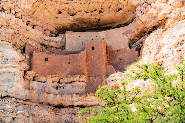
15 Historic Sites in Arizona Worth Visiting
Educational Resources
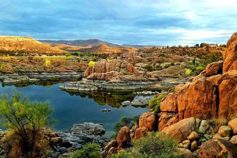
25 Iconic Arizona Landmarks
06
Parks near Chiricahua
Within reach if you are building a longer trip.

Worth protecting
Chiricahua belongs to all of us
Protections that took generations to win can be rolled back in a single session of Congress. We keep watch so they hold.
Stay in the Loop
Free dispatches on the parks and the policy fights around them, almost every day. Threats tracked, wins celebrated, no fluff.
Threatened Lands Map
Follow what's happening on federal lands across the country with our interactive map.
View the Tracker