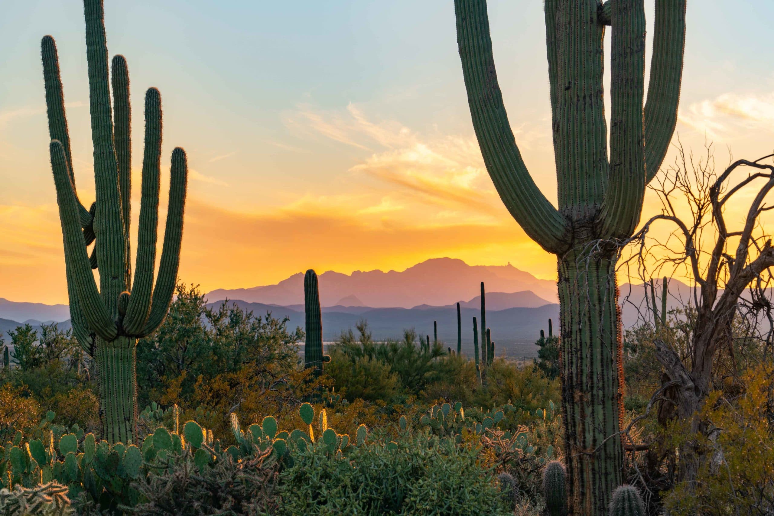
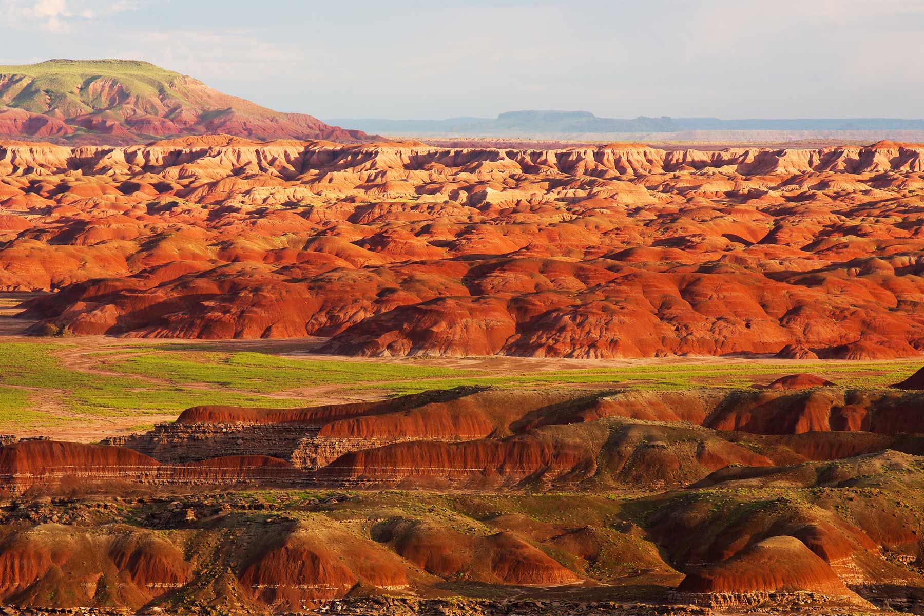
White Sands National Park
146,344
Acres
702,000/year
Annual Visitors
$25
Entry Fee
October through April
Best Time to Visit
National Park Service
National Park
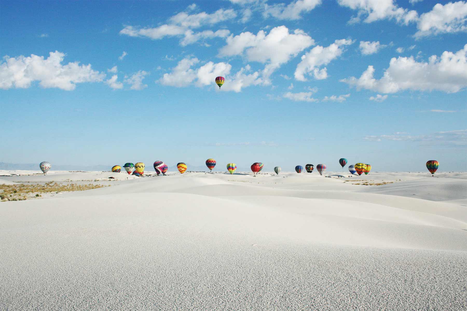
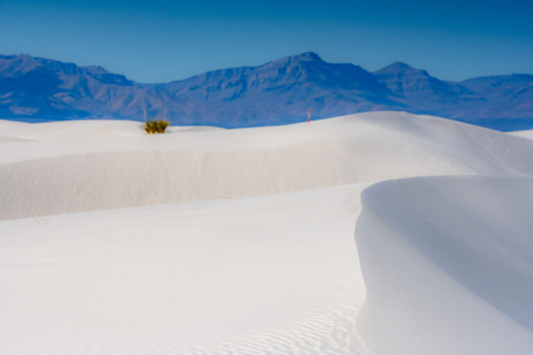
White Sands was protected as a national monument in 1933 and redesignated a national park on December 20, 2019. The park contains the world's largest gypsum dunefield, 275 square miles of blindingly white sand in the Tularosa Basin of New Mexico.
Our White Sands Articles

When to Visit White Sands
Loading weather...
Month-by-Month Conditions
Tap any month for details
Month
High
Low
Crowds
Roads
Jan Best
100°
75°
Peak
Open
Feb Best
97°
72°
Peak
Open
Mar Best
90°
64°
Heavy
Open
Apr Best
80°
53°
Heavy
Open
May
70°
41°
Light
Open
Jun
63°
33°
Low
Open
Jul
60°
30°
Low
Open
Aug
63°
33°
Low
Open
Sep
70°
41°
Light
Open
Oct Best
80°
53°
Heavy
Open
Nov Best
90°
64°
Heavy
Open
Dec Best
97°
72°
Heavy
Open
Best months to visit
Crowd level (low to peak)
Campgrounds in White Sands
Backcountry Camping
$3/nightDue to rehabilitation of camping sites, backcountry camping is closed.
Trip Essentials
Gear and guides we recommend for White Sands. Affiliate links help support our work.
Guidebook
White Sands field guide with trail details and planning info
View on Amazon
Hotels Near White Sands
Compare lodges, cabins, and hotels near the park
Search on Booking.com
America the Beautiful Pass
$80/year. Covers entrance fees at all 2,000+ federal recreation sites.
Get the Pass
Sun Hat
Full-brim coverage for exposed trails with zero shade.
View on REI
Water Bottles
Carry at least 2 liters. More in desert heat.
View on REI
Hiking Boots
Ankle support and grip for rocky, uneven terrain.
View on REI
Getting to White Sands
Gateway Towns
- Alamogordo, NM
- Las Cruces, NM
Nearest Airports
- ELP El Paso International 85 mi
- ABQ Albuquerque International Sunport 215 mi
White Sands Map
VC Visitor Center
CG Campground
Nearby Park
Nearby National Parks
Stay in the Loop
Free weekly dispatches on public lands. Threats tracked, wins celebrated, no fluff.
Subscribe on SubstackPublic Lands Tracker
Follow what's happening on federal lands across the country with our interactive map.
View the Tracker