
Established
1972
Size
86,367 acres
Visitors / yr
226K
Entrance
$10
Best season
September through November, March through May
Nearest airport
ELP El Paso International
01
Why Guadalupe Mountains is worth the trip
Texas · Established 1972
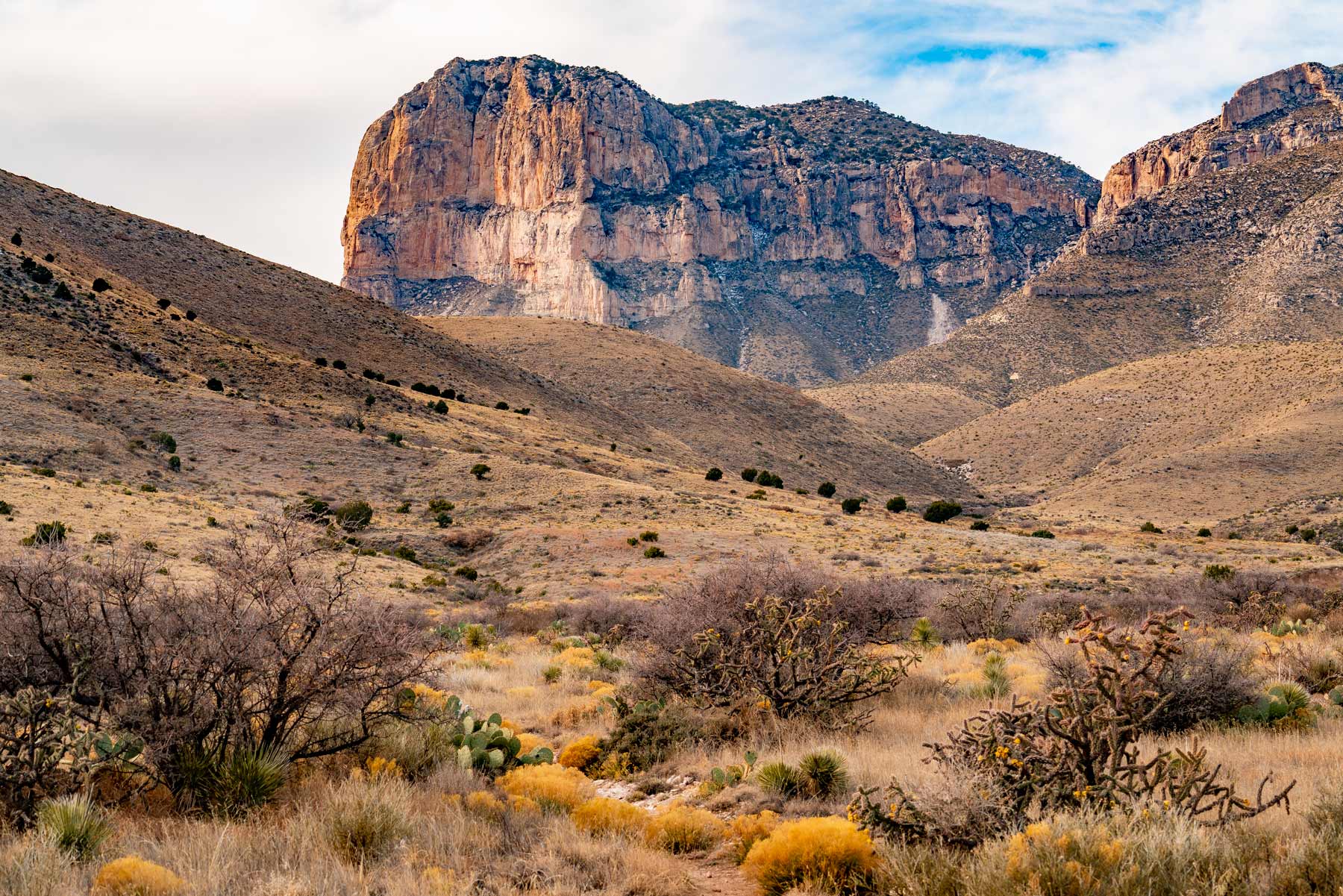
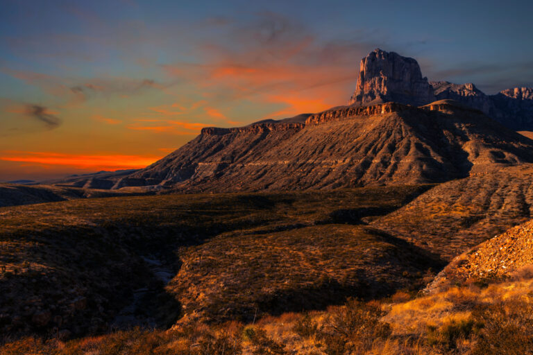
Guadalupe Mountains is a hiker's park, no apologies offered. There is no lodge, barely a scenic drive, and no shortcut to the good stuff. The marquee climb gains about 3,000 feet to the top of 8,751-foot Guadalupe Peak, the highest point in Texas, where a steel pyramid marks the summit and the Chihuahuan Desert falls away in every direction.
The range itself is a fossilized reef from a Permian sea, the most extensive on Earth, which is why you find marine fossils in the rock a mile and a half up. Come in late October or early November, when the bigtooth maples of McKittrick Canyon turn scarlet and orange, the last thing anyone expects from west Texas, and the park quietly delivers its finest week of the year.
02
Top things to do in Guadalupe Mountains
Where we would start, and what we would plan a day around.
01
 Scenic Driving · nps.gov
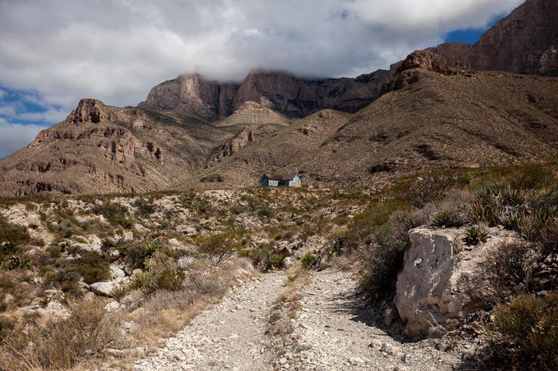
Drive to Williams Ranch
If you have a high-clearance, four wheel drive vehicle, the primitive dirt road to Williams Ranch provides a unique opportunity to get off the beaten path...
02
Scenic Driving · nps.gov
Drive to Williams Ranch
If you have a high-clearance, four wheel drive vehicle, the primitive dirt road to Williams Ranch provides a unique opportunity to get off the beaten path...
02
 Backcountry Camping · nps.gov
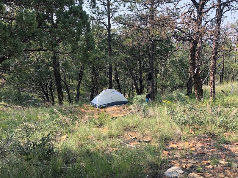
Overnight on Wilderness Ridge
The lesser used Permian Reef Trail leads to sheltered campsites and spectacular views into McKittrick Canyon, making a great destination of a one night,...
03
Backcountry Camping · nps.gov
Overnight on Wilderness Ridge
The lesser used Permian Reef Trail leads to sheltered campsites and spectacular views into McKittrick Canyon, making a great destination of a one night,...
03
 Scenic Driving · nps.gov
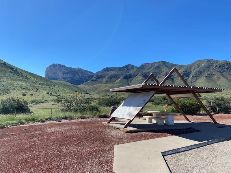
Guadalupe Peak Viewpoint
This viewpoint, located just to the southeast of the park boundary alongside U.S. Highway 62/180 provides an excellent view to the summit of Guadalupe...
04
Scenic Driving · nps.gov
Guadalupe Peak Viewpoint
This viewpoint, located just to the southeast of the park boundary alongside U.S. Highway 62/180 provides an excellent view to the summit of Guadalupe...
04
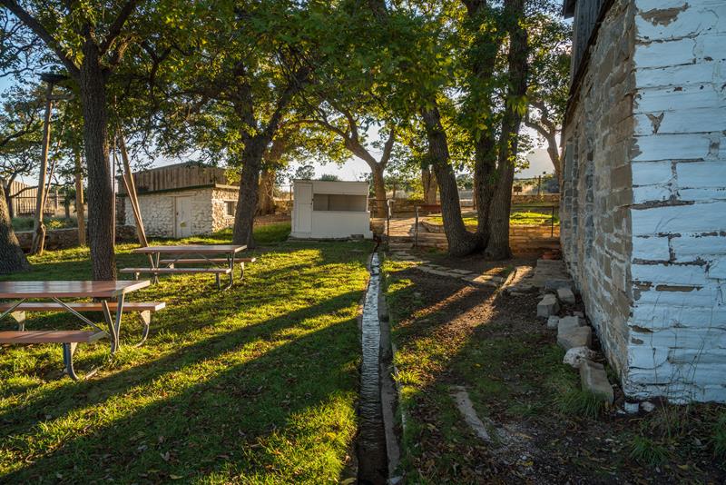 Museum Exhibits · nps.gov
Visit the historic Frijole Ranch
Frijole Ranch is a delightful oasis on the edge of the dry, lower slopes of the Guadalupe escarpment which truly captures the rugged sprit...
Museum Exhibits · nps.gov
Visit the historic Frijole Ranch
Frijole Ranch is a delightful oasis on the edge of the dry, lower slopes of the Guadalupe escarpment which truly captures the rugged sprit...
Scenic Driving · nps.gov
Drive to Williams Ranch
If you have a high-clearance, four wheel drive vehicle, the primitive dirt road to Williams Ranch provides a unique opportunity to get off the beaten path...
02
Backcountry Camping · nps.gov
Overnight on Wilderness Ridge
The lesser used Permian Reef Trail leads to sheltered campsites and spectacular views into McKittrick Canyon, making a great destination of a one night,...
03
Scenic Driving · nps.gov
Guadalupe Peak Viewpoint
This viewpoint, located just to the southeast of the park boundary alongside U.S. Highway 62/180 provides an excellent view to the summit of Guadalupe...
04
Museum Exhibits · nps.gov
Visit the historic Frijole Ranch
Frijole Ranch is a delightful oasis on the edge of the dry, lower slopes of the Guadalupe escarpment which truly captures the rugged sprit...
03
Best hikes in Guadalupe Mountains
The trails that define the park, with the distance and elevation numbers that decide your day.
1
Guadalupe Peak
The highest point in Texas at 8,751 feet.
2
Devil's Hall Trail
A rocky wash scramble to a narrow slot between canyon walls.
3
El Capitan Trail
The trail beneath El Capitan, a signature sight of West Texas.
4
McKittrick Canyon Trail
Famous for fall color, red and gold maples in the desert.
5
Salt Basin Dunes Trail
Bright white gypsum sand pooled against the western escarpment.
Before you go
Get the Guadalupe Mountains heads-up
Permit windows, closures and seasonal alerts, plus our best Guadalupe Mountains guides, in your inbox before you go. Free, no spam.
04
Plan your trip
Our guides for the big decisions, plus the gear, maps and lodging we would actually use for Guadalupe Mountains.
Where to stay
Gateway towns with lodging, food and outfitters.
Maps & guides
Carry paper. Cell service dies fast inside most parks.
Guadalupe Mountains Trails Illustrated map
Waterproof National Geographic topo of the park.
View on Amazon
America the Beautiful pass
$80 a year. Covers entrance fees at more than 2,000 federal recreation sites.
Get the pass
What to bring
Field-tested picks we bring on park trips.
-
Sun HatFull-brim coverage for exposed trails with zero shade. View on REI
-
Water BottlesCarry at least 2 liters. More in desert heat. View on REI
-
Hiking BootsAnkle support and grip for rocky, uneven terrain. View on REI
-
Sun-Protective ShirtUPF 50+ fabric keeps you cool and blocks UV all day. View on REI
Getting there
- ELP El Paso International 110 mi
- CNM Cavern City Air Terminal 55 mi
Some links in this section are affiliate links. If you book or buy through them we earn a small commission at no extra cost to you. We only recommend what we would use ourselves.
Guadalupe Mountains map
VC Visitor Center
CG Campground
Nearby Park
05
When to go
Loading weather...
Live Webcams


Month-by-Month Conditions
Tap any month for details
Month
High
Low
Crowds
Roads
Jan
54°
32°
Light
Open
Feb
56°
34°
Moderate
Open
Mar
63°
40°
Peak
Open
Apr
71°
46°
Peak
Open
May
79°
55°
Moderate
Open
Jun
88°
64°
Light
Open
Jul
87°
64°
Light
Open
Aug
84°
62°
Light
Open
Sep Best
80°
58°
Light
Open
Oct Best
72°
50°
Heavy
Open
Nov Best
61°
39°
Moderate
Open
Dec
54°
33°
Heavy
Open
Best months to visit
Crowd level (low to peak)


07
Parks near Guadalupe Mountains
Within reach if you are building a longer trip.
Worth protecting
Guadalupe Mountains belongs to all of us
Protections that took generations to win can be rolled back in a single session of Congress. We keep watch so they hold.
Stay in the Loop
Free dispatches on the parks and the policy fights around them, almost every day. Threats tracked, wins celebrated, no fluff.
Threatened Lands Map
Follow what's happening on federal lands across the country with our interactive map.
View the Tracker