
Established
1961
Size
33,265 acres
Visitors / yr
791K
Entrance
$30
Best season
Year-round (summit reservations required for sunrise)
Nearest airport
OGG Kahului Airport
01
Why Haleakala is worth the trip
Hawaii · Established 1961
Haleakala is the park where folks set a 3 a.m. alarm on vacation and call it the highlight of the trip. The payoff is sunrise from a 10,000-foot volcano summit above a sea of clouds, an event so popular the park requires reservations just to drive up for it. Sunset, for the record, needs no reservation and concedes very little.
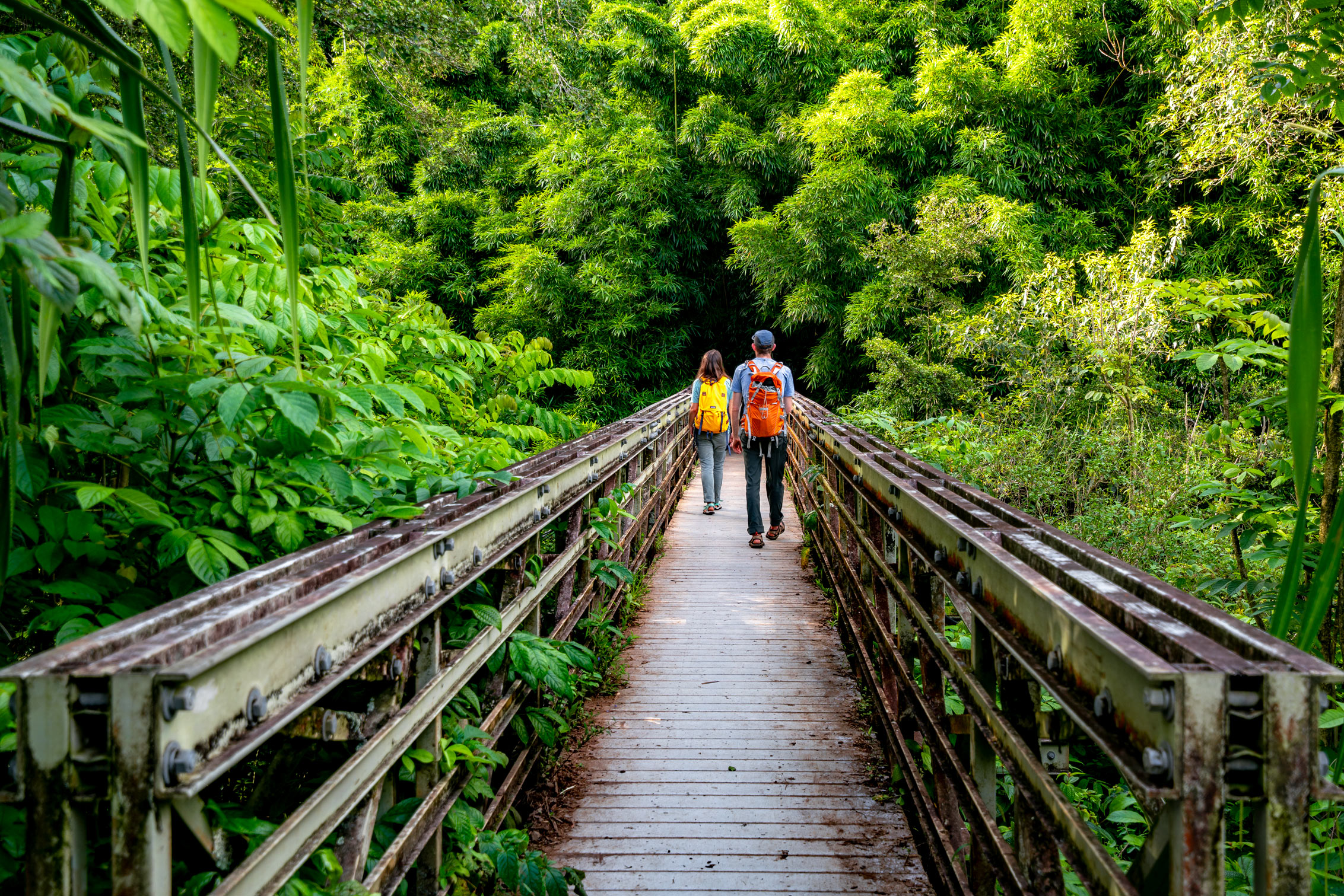
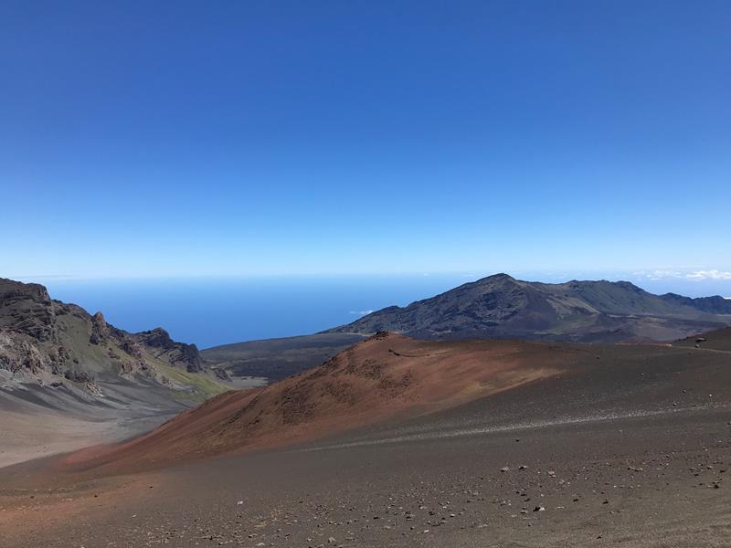
Stay past the photo. The summit crater stretches seven miles across, a painted volcanic bowl you can hike into on the Keonehe'ehe'e, or Sliding Sands, trail, past cinder cones and silverswords, spiky silver plants that grow nowhere else on Earth and bloom once in their lives. Then remember the park's other half. The Kipahulu District out past Hana trades cinders for waterfalls, bamboo forest, and the pools of Ohe'o. One volcano, summit to sea.
Start with our full Haleakala guide, then use the planning below.
02
Top things to do in Haleakala
Where we would start, and what we would plan a day around. Read the full guide.
Start here
20 Things to Do in Haleakala National Park (2026 Guide)
Read the guide
01
 Junior Ranger Program · nps.gov
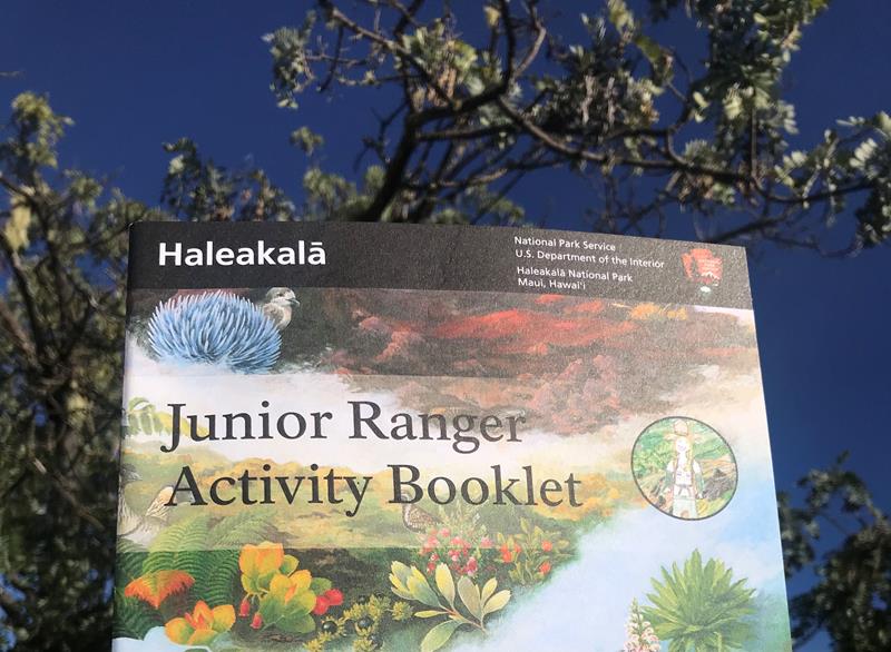
Become a Haleakalā Junior Ranger
Complete activities featuring the plants, animals, and history of Haleakalā to earn your Junior Ranger badge!
02
Junior Ranger Program · nps.gov
Become a Haleakalā Junior Ranger
Complete activities featuring the plants, animals, and history of Haleakalā to earn your Junior Ranger badge!
02
 Hiking · nps.gov
Moderate Hike into Haleakalā's Crater
Enter the park's Wilderness on the Keoneheʻeheʻe (Sliding Sands) Trail and take a moderate out-and-back hike partway down the windswept cinder slope. This is...
03
Hiking · nps.gov
Moderate Hike into Haleakalā's Crater
Enter the park's Wilderness on the Keoneheʻeheʻe (Sliding Sands) Trail and take a moderate out-and-back hike partway down the windswept cinder slope. This is...
03
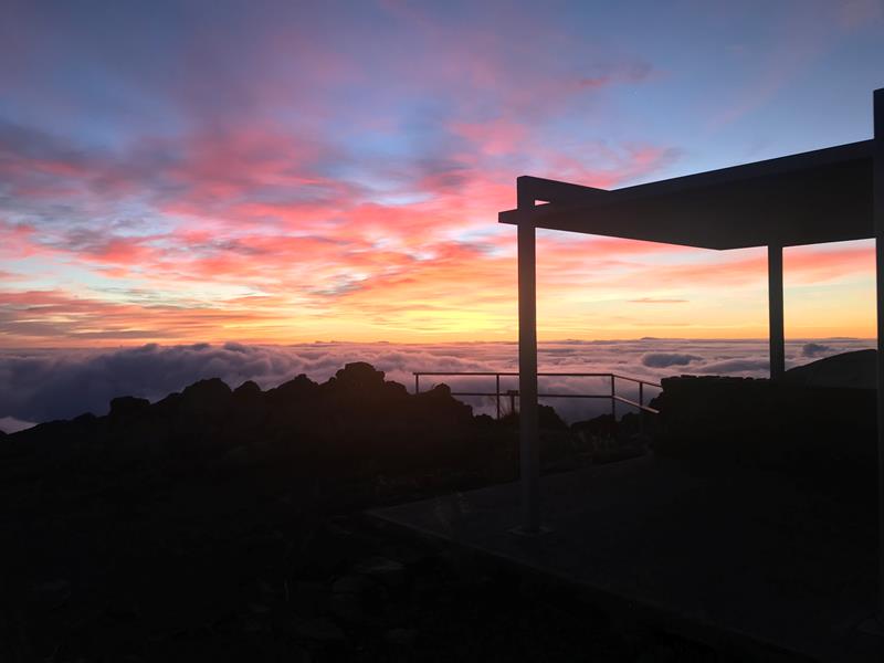 Cultural Demonstrations · nps.gov
Enjoy the Sunrise
Start your day at the top of Haleakalā. With an advance sunrise reservation, visitors can await the dawn from any of four lookouts leading...
04
Cultural Demonstrations · nps.gov
Enjoy the Sunrise
Start your day at the top of Haleakalā. With an advance sunrise reservation, visitors can await the dawn from any of four lookouts leading...
04
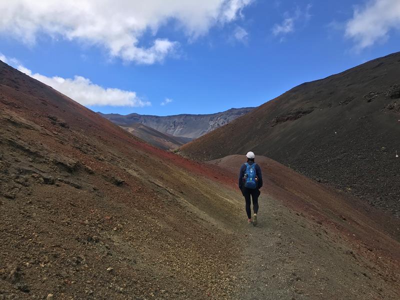 Hiking · nps.gov
Strenuous Hike Across the Crater Floor
Experienced hikers can "thru" hike the crater from Keoneheʻeheʻe (Sliding Sands) Trailhead, across the crater floor, and out to Halemauʻu Trailhead. This hike is...
Hiking · nps.gov
Strenuous Hike Across the Crater Floor
Experienced hikers can "thru" hike the crater from Keoneheʻeheʻe (Sliding Sands) Trailhead, across the crater floor, and out to Halemauʻu Trailhead. This hike is...
Junior Ranger Program · nps.gov
Become a Haleakalā Junior Ranger
Complete activities featuring the plants, animals, and history of Haleakalā to earn your Junior Ranger badge!
02
Hiking · nps.gov
Moderate Hike into Haleakalā's Crater
Enter the park's Wilderness on the Keoneheʻeheʻe (Sliding Sands) Trail and take a moderate out-and-back hike partway down the windswept cinder slope. This is...
03
Cultural Demonstrations · nps.gov
Enjoy the Sunrise
Start your day at the top of Haleakalā. With an advance sunrise reservation, visitors can await the dawn from any of four lookouts leading...
04
Hiking · nps.gov
Strenuous Hike Across the Crater Floor
Experienced hikers can "thru" hike the crater from Keoneheʻeheʻe (Sliding Sands) Trailhead, across the crater floor, and out to Halemauʻu Trailhead. This hike is...
03
Best hikes in Haleakala
The trails that define the park, with the distance and elevation numbers that decide your day.
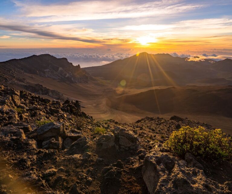 The trail guide
The Haleakala Crater Hike on Maui: A Complete Guide
The trail guide
The Haleakala Crater Hike on Maui: A Complete Guide
Before you go
Get the Haleakala heads-up
Permit windows, closures and seasonal alerts, plus our best Haleakala guides, in your inbox before you go. Free, no spam.
04
Plan your trip
Our guides for the big decisions, plus the gear, maps and lodging we would actually use for Haleakala.
Where to stay
Gateway towns with lodging, food and outfitters.
Maps & guides
Carry paper. Cell service dies fast inside most parks.
America the Beautiful pass
$80 a year. Covers entrance fees at more than 2,000 federal recreation sites.
Get the pass
What to bring
Field-tested picks we bring on park trips.
-
Sun HatFull-brim coverage for exposed trails with zero shade. View on REI
-
Water ShoesQuick-drying grip for shorelines, slot canyons, and river crossings. View on REI
-
Sun-Protective ShirtUPF 50+ fabric keeps you cool and blocks UV all day. View on REI
-
Water BottlesCarry at least 2 liters. More in desert heat. View on REI
Getting there
- OGG Kahului Airport 28 mi
Some links in this section are affiliate links. If you book or buy through them we earn a small commission at no extra cost to you. We only recommend what we would use ourselves.
Haleakala map
VC Visitor Center
CG Campground
Nearby Park
05
Read our seasonal guide
When to go
Loading weather...
Month-by-Month Conditions
Tap any month for details
Month
High
Low
Crowds
Roads
Jan
72°
58°
Moderate
Open
Feb
72°
57°
Moderate
Open
Mar
73°
58°
Moderate
Open
Apr
74°
59°
Moderate
Open
May Best
76°
61°
Heavy
Open
Jun Best
79°
63°
Heavy
Open
Jul Best
82°
65°
Heavy
Open
Aug Best
82°
66°
Moderate
Open
Sep Best
82°
66°
Moderate
Open
Oct Best
80°
64°
Moderate
Open
Nov
77°
62°
Moderate
Open
Dec
74°
59°
Moderate
Open
Best months to visit
Crowd level (low to peak)

Watch our film
Haleakala National Park 8K Maui
We hiked every trail in this park across multiple trips to Maui. The crater sunrise gets all the attention, but the Pipiwai Trail to Waimoku Falls is the hike we'd send you on. One park, two completely different worlds.
Browse all our national park films06
More Haleakala guides


07
Parks near Haleakala
Within reach if you are building a longer trip.
Worth protecting
Haleakala belongs to all of us
Protections that took generations to win can be rolled back in a single session of Congress. We keep watch so they hold.
Stay in the Loop
Free dispatches on the parks and the policy fights around them, almost every day. Threats tracked, wins celebrated, no fluff.
Threatened Lands Map
Follow what's happening on federal lands across the country with our interactive map.
View the Tracker