
Established
1968
Size
138,999 acres
Visitors / yr
605K
Entrance
Free
Best season
May through September
Nearest airport
ACV Arcata-Eureka Airport
01
Why Redwood is worth the trip
California · Established 1968
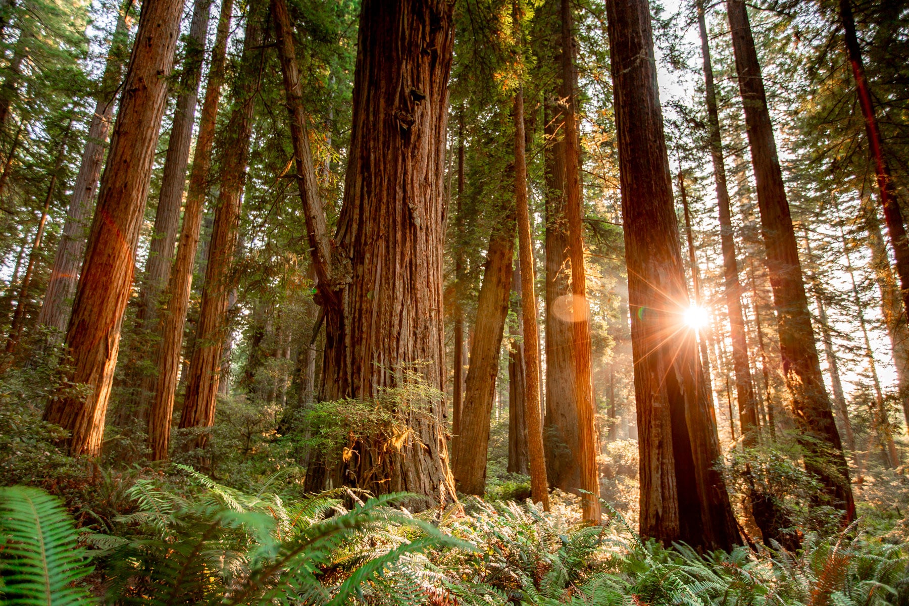
The tallest living things on Earth grow in a fog belt along California's far north coast, and walking among them permanently recalibrates your sense of big. Coast redwoods here pass 370 feet, and some have stood since the Roman Empire. The sobering half of the story is that nearly all the old growth was logged before anyone stopped it; this park, together with its partner state parks, protects 45 percent of what remains.
Walk Lady Bird Johnson Grove or the Prairie Creek trails and let your neck do the work, then sample the strangeness at the edges. Roosevelt elk graze the meadows, and Fern Canyon squeezes you between 50-foot walls upholstered entirely in ferns. Entry is free, fog is standard equipment, and morning light coming through the canopy is the whole argument for getting up early.
Start with our full Redwood guide, then use the planning below.
02
Top things to do in Redwood
Where we would start, and what we would plan a day around. Read the full guide.
Start here
15 Things to Do in Redwood National Park (2026 Guide)
Read the guide
01
 Hiking · nps.gov
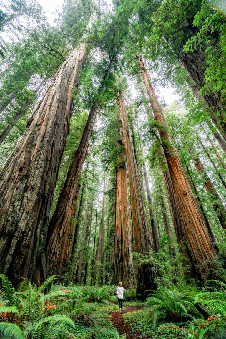
Hike to the Tall Trees Grove
A half-day hike in the southern part of the parks for those ready for an adventure. A free reservation is needed. This trail is...
02
Hiking · nps.gov
Hike to the Tall Trees Grove
A half-day hike in the southern part of the parks for those ready for an adventure. A free reservation is needed. This trail is...
02
 Biking · nps.gov
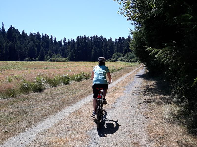
Bike the Davison/Streelow Creek Loop
Start at a meadow where elk gather before biking through dense, Douglas-fir forests that have grown back since the old-growth redwoods were logged here...
03
Biking · nps.gov
Bike the Davison/Streelow Creek Loop
Start at a meadow where elk gather before biking through dense, Douglas-fir forests that have grown back since the old-growth redwoods were logged here...
03
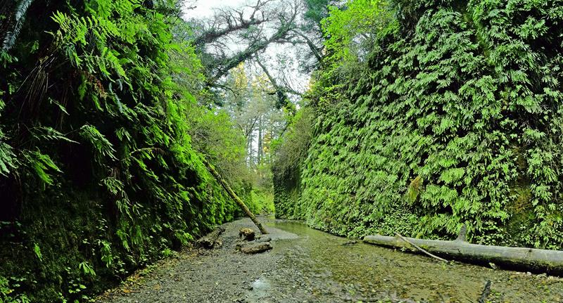 Hiking · nps.gov
Walk the Fern Canyon Loop Trail
A unique, beautiful, and popular location in the park. Getting here does require some planning, reservations are required May 15th through September 15th (available...
04
Hiking · nps.gov
Walk the Fern Canyon Loop Trail
A unique, beautiful, and popular location in the park. Getting here does require some planning, reservations are required May 15th through September 15th (available...
04
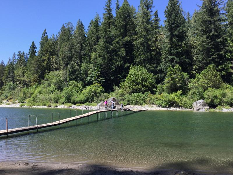 Hiking · nps.gov
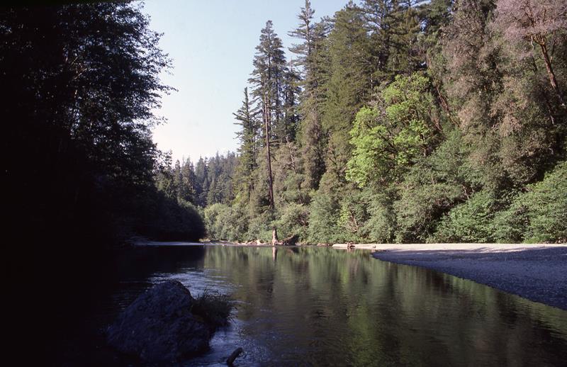
Walk the Stout Memorial Grove Trail
A majestic grove of redwoods next to the Smith River in the northern part of the park. This trail requires some planning about how...
Hiking · nps.gov
Walk the Stout Memorial Grove Trail
A majestic grove of redwoods next to the Smith River in the northern part of the park. This trail requires some planning about how...
Hiking · nps.gov
Hike to the Tall Trees Grove
A half-day hike in the southern part of the parks for those ready for an adventure. A free reservation is needed. This trail is...
02
Biking · nps.gov
Bike the Davison/Streelow Creek Loop
Start at a meadow where elk gather before biking through dense, Douglas-fir forests that have grown back since the old-growth redwoods were logged here...
03
Hiking · nps.gov
Walk the Fern Canyon Loop Trail
A unique, beautiful, and popular location in the park. Getting here does require some planning, reservations are required May 15th through September 15th (available...
04
Hiking · nps.gov
Walk the Stout Memorial Grove Trail
A majestic grove of redwoods next to the Smith River in the northern part of the park. This trail requires some planning about how...
03
Best hikes in Redwood
The trails that define the park, with the distance and elevation numbers that decide your day.
1
Stout Memorial Grove
Where Mill Creek meets the Smith River in Jedediah Smith.
2
Fern Canyon Loop
The best hike in the Redwood parks, prove us wrong.
3
Lady Bird Johnson Grove Loop
An easy old growth loop on a ridge at 1,300 feet.
4
Karl Knapp / Foothill Trail Loop
Giant redwoods, Prairie Creek, and a decent shot at elk.
5
Tall Trees Grove
Coast redwoods soaring north of 350 feet on a floodplain.
Before you go
Get the Redwood heads-up
Permit windows, closures and seasonal alerts, plus our best Redwood guides, in your inbox before you go. Free, no spam.
04
Plan your trip
Our guides for the big decisions, plus the gear, maps and lodging we would actually use for Redwood.
Where to stay
Gateway towns with lodging, food and outfitters.
Maps & guides
Carry paper. Cell service dies fast inside most parks.
America the Beautiful pass
$80 a year. Covers entrance fees at more than 2,000 federal recreation sites.
Get the pass
What to bring
Field-tested picks we bring on park trips.
-
Water ShoesQuick-drying grip for shorelines, slot canyons, and river crossings. View on REI
-
Dry BagKeep your phone, camera, and spare clothes dry near water. View on REI
-
Sun HatFull-brim coverage for exposed trails with zero shade. View on REI
-
BinocularsSpot wildlife from a safe distance without disturbing them. View on REI
Getting there
- ACV Arcata-Eureka Airport 75 mi
- MFR Rogue Valley International-Medford 100 mi
Some links in this section are affiliate links. If you book or buy through them we earn a small commission at no extra cost to you. We only recommend what we would use ourselves.
Redwood map
VC Visitor Center
CG Campground
Nearby Park
05
When to go
Loading weather...
Month-by-Month Conditions
Tap any month for details
Month
High
Low
Crowds
Roads
Jan
52°
36°
Light
Open
Feb
54°
37°
Light
Open
Mar
56°
37°
Light
Open
Apr
58°
39°
Moderate
Open
May Best
61°
43°
Heavy
Open
Jun Best
64°
46°
Peak
Open
Jul Best
67°
49°
Peak
Open
Aug Best
69°
49°
Peak
Open
Sep Best
69°
45°
Heavy
Open
Oct
65°
42°
Moderate
Open
Nov
56°
39°
Light
Open
Dec
51°
36°
Light
Open
Best months to visit
Crowd level (low to peak)

Watch our film
Redwood National Park 4K
The tallest trees on earth, plus a coastline and the biggest Roosevelt elk herd on the planet. We tell people a trip to the redwoods belongs on everyone's list, and this film is our pitch for why. Watch it big and loud.
Browse all our national park films06
More Redwood guides

Educational Resources
National Parks Hikes
15 Best Hikes in Redwood National Park
Featured
15 Things to Do in Redwood National Park (2026 Guide)

National Parks
20 Redwood National Park Photos + Video

National Parks
Visiting Jedediah Smith Redwoods State Park
National Park Guides
Redwood National Park Guide

National Parks
Tall Trees Grove, Redwood National Park

National Parks
Stout Grove in Redwood National Park
07
Parks near Redwood
Within reach if you are building a longer trip.
Worth protecting
Redwood belongs to all of us
Protections that took generations to win can be rolled back in a single session of Congress. We keep watch so they hold.
Stay in the Loop
Free dispatches on the parks and the policy fights around them, almost every day. Threats tracked, wins celebrated, no fluff.
Threatened Lands Map
Follow what's happening on federal lands across the country with our interactive map.
View the Tracker