
Established
1980
Size
249,561 acres
Visitors / yr
263K
Entrance
Free
Best season
September through November
Nearest airport
SBA Santa Barbara Airport
01
Why Channel Islands is worth the trip
California · Established 1980
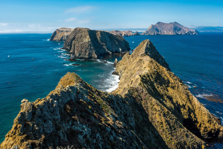
Five islands off the Southern California coast with no cars, no shops, no bridges, and a cast of species found nowhere else on Earth. Folks call the Channel Islands the Galapagos of North America, and for once the comparison holds. The island fox, a housecat-sized predator unique to these islands, will likely trot past your campsite like it pays rent.
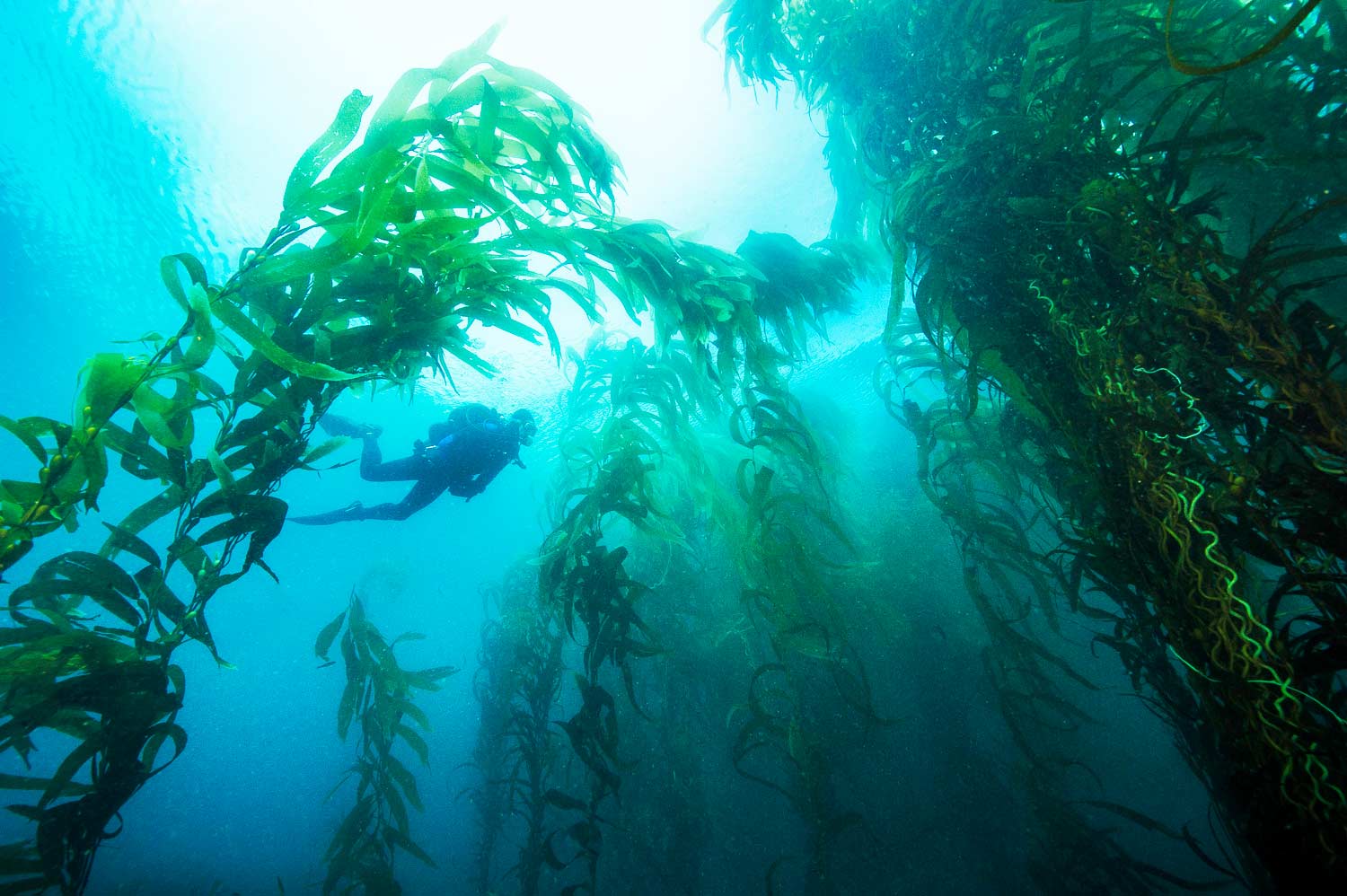
The water is the other half of the park. Kelp forests sway beneath the cliffs, and Santa Cruz Island hides some of the largest sea caves in the world, best explored by kayak. Getting here takes a boat ride from Ventura and some planning, and that barrier is the whole trick. An hour off one of the most crowded coastlines in America, you can have an island nearly to yourself.
Start with our full Channel Islands guide, then use the planning below.
02
Top things to do in Channel Islands
Where we would start, and what we would plan a day around. Read the full guide.
Start here
15 Things to Do at Channel Islands National Park
Read the guide
01
Known for
Kelp forest snorkeling and diving
02
Known for
Sea cave kayaking
03
Known for
Island fox and endemic wildlife
04
Known for
Whale watching
Before you go
Get the Channel Islands heads-up
Permit windows, closures and seasonal alerts, plus our best Channel Islands guides, in your inbox before you go. Free, no spam.
03
Plan your trip
Our guides for the big decisions, plus the gear, maps and lodging we would actually use for Channel Islands.
Where to stay
Gateway towns with lodging, food and outfitters.
Maps & guides
Carry paper. Cell service dies fast inside most parks.
Channel Islands Trails Illustrated map
Waterproof National Geographic topo of the park.
View on Amazon
America the Beautiful pass
$80 a year. Covers entrance fees at more than 2,000 federal recreation sites.
Get the pass
What to bring
Field-tested picks we bring on park trips.
-
Water ShoesQuick-drying grip for shorelines, slot canyons, and river crossings. View on REI
-
Dry BagKeep your phone, camera, and spare clothes dry near water. View on REI
-
Sun HatFull-brim coverage for exposed trails with zero shade. View on REI
-
BinocularsSpot wildlife from a safe distance without disturbing them. View on REI
Getting there
- SBA Santa Barbara Airport 30 mi
- LAX Los Angeles International 70 mi
Some links in this section are affiliate links. If you book or buy through them we earn a small commission at no extra cost to you. We only recommend what we would use ourselves.
Channel Islands map
VC Visitor Center
CG Campground
Nearby Park
04
When to go
Loading weather...
Live Webcams
 Live
Live
 Live
Live
 Live
Live
Month-by-Month Conditions
Tap any month for details
Month
High
Low
Crowds
Roads
Jan
66°
46°
Light
Open
Feb
65°
48°
Light
Open
Mar
66°
49°
Moderate
Open
Apr
67°
50°
Moderate
Open
May
68°
54°
Moderate
Open
Jun
70°
58°
Heavy
Open
Jul
73°
61°
Heavy
Open
Aug
74°
61°
Heavy
Open
Sep Best
74°
60°
Moderate
Open
Oct Best
74°
55°
Moderate
Open
Nov Best
70°
50°
Moderate
Open
Dec
66°
47°
Light
Open
Best months to visit
Crowd level (low to peak)
05
More Channel Islands guides
06
Parks near Channel Islands
Within reach if you are building a longer trip.
Worth protecting
Channel Islands belongs to all of us
Protections that took generations to win can be rolled back in a single session of Congress. We keep watch so they hold.
Stay in the Loop
Free dispatches on the parks and the policy fights around them, almost every day. Threats tracked, wins celebrated, no fluff.
Threatened Lands Map
Follow what's happening on federal lands across the country with our interactive map.
View the Tracker