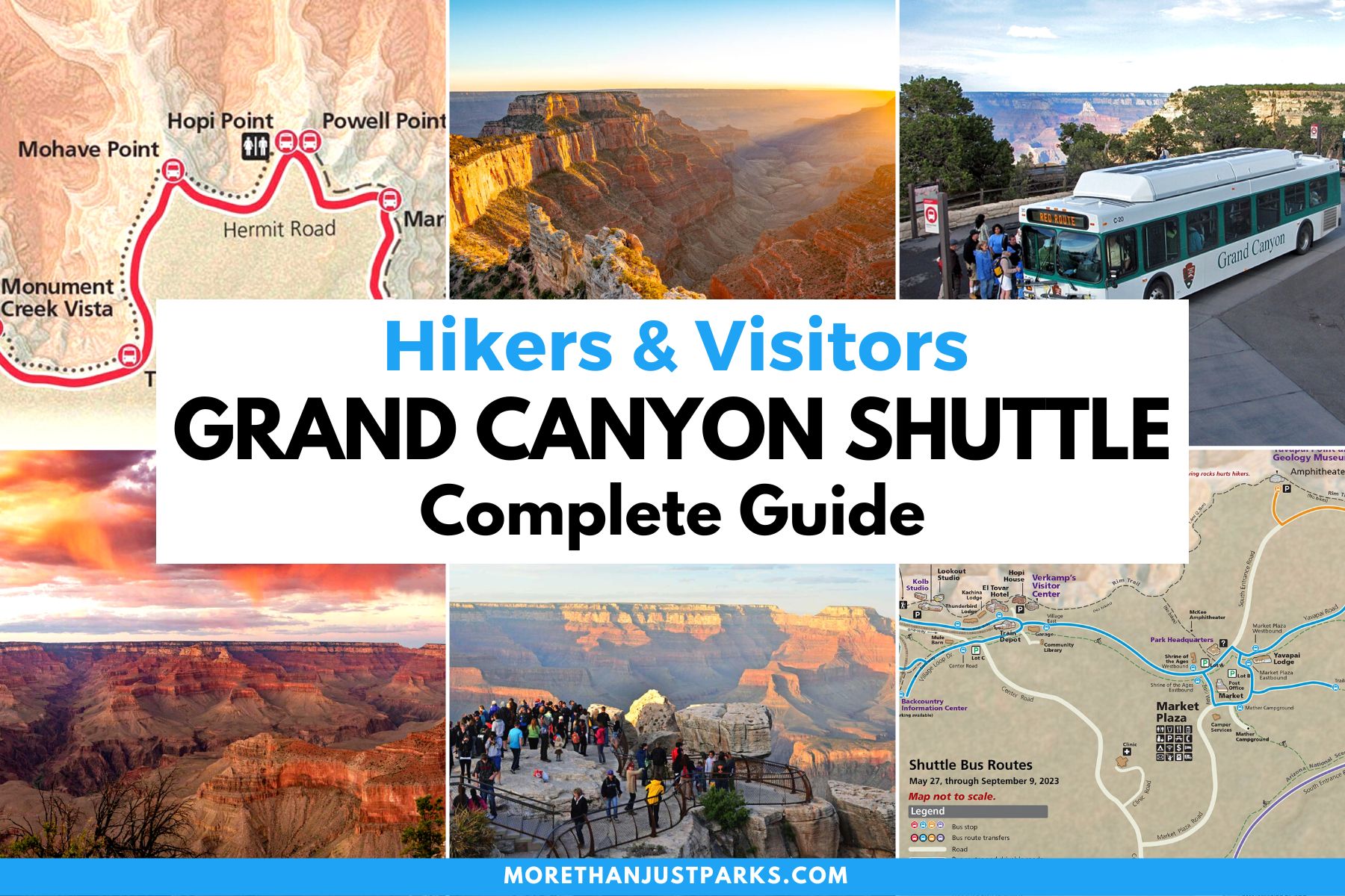
The Grand Canyon’s South Rim runs on a free shuttle system, and learning to use it is the single best move you can make for a smooth visit. In the busy season, parking near the rim fills early and many of the best viewpoints, including the entire Hermit Road, are closed to private cars. The shuttle solves all of that. Once you understand the four color-coded routes and where they connect, you can leave the car parked and reach almost everything on the rim without the stress of finding a spot.
This guide breaks down each route, what it covers, and how they link together, with the current 2026 operating details. Everything here is about the South Rim, the busy, year-round side of the park. One key fact to anchor on: all the shuttles are free and included with your park entrance fee, so there is no ticket to buy and no reason not to use them.
The Grand Canyon Shuttle System at a Glance
| Route | What it covers | Season & notes |
|---|---|---|
| Village (Blue) | Visitor center, lodges, campgrounds, Market Plaza, Backcountry Information Center | Runs year round; the backbone of the village. Free. |
| Kaibab Rim (Orange) | Visitor center, Yavapai Geology Museum, South Kaibab Trailhead, Yaki Point | Runs year round; the only way to reach Yaki Point and the South Kaibab Trailhead, which are closed to cars. Free. |
| Hermits Rest (Red) | The 7-mile Hermit Road and its viewpoints out to Hermits Rest | Runs roughly March 1 to November 30, when Hermit Road is closed to private vehicles. Free. |
| Tusayan (Purple) | The gateway town of Tusayan to the visitor center | Seasonal, summer only. Lets you park in town and ride in. Free. |
| Hikers’ Express | Bright Angel Lodge to the South Kaibab Trailhead, early mornings | Early-bird shuttle for hikers; runs in the warm months. Free. |
The Visitor Center and Shuttle Transit Center

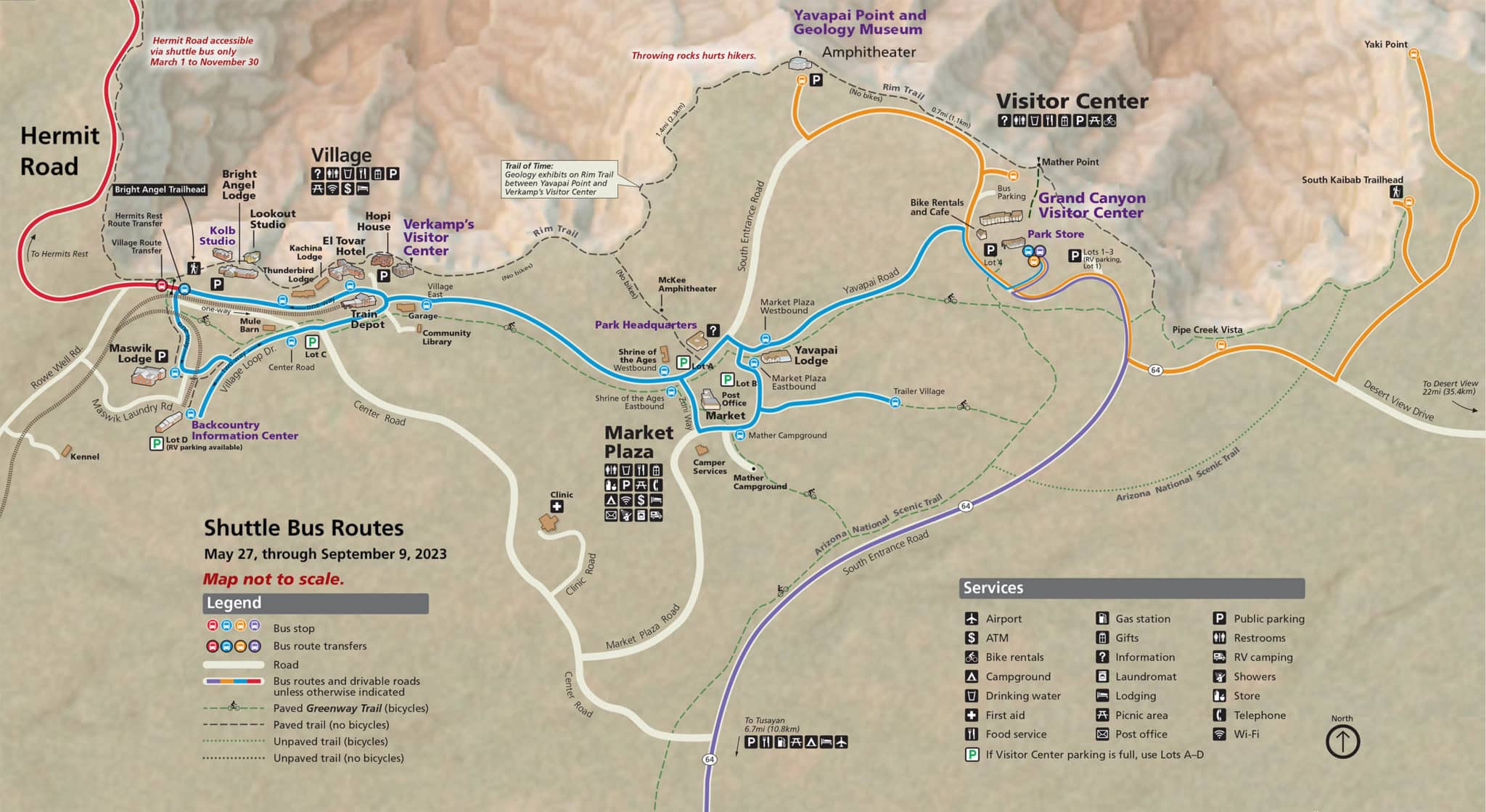
The hub of the whole system is the Grand Canyon Visitor Center near the South Entrance, where a large parking area and the main shuttle transit center sit side by side. This is where most visitors should start: park here, walk a few steps to Mather Point for your first canyon view, and pick up the shuttle. The Village (Blue) and Kaibab Rim (Orange) routes both connect here, so from this one spot you can reach the lodges, the museums, and the major trailheads. Pick up a current map and schedule at the visitor center, since exact hours shift by season.
The Village Route (Blue)
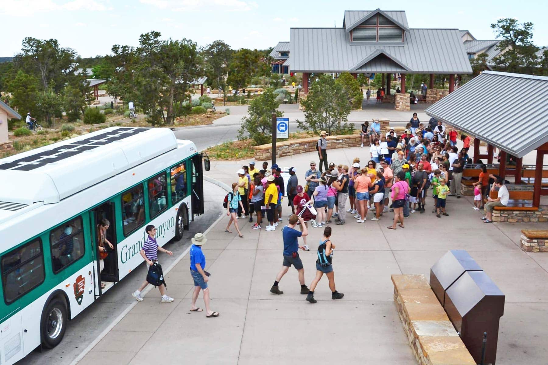
The Village (Blue) Route is the workhorse of the system and the one that runs year round. It loops through Grand Canyon Village, connecting the visitor center with the lodges, the campgrounds, Market Plaza with its general store and bank, and the Backcountry Information Center. A full round trip takes about 50 minutes. If you are staying in the village or need groceries, the post office, or your lodge, this is the route you will use most. It does not go out to the scenic Hermit Road; for that you transfer to the Red route.
Love Grand Canyon? It's one of 117 threatened public lands destinations we're tracking. Get the free briefing.
The Kaibab Rim Route (Orange)
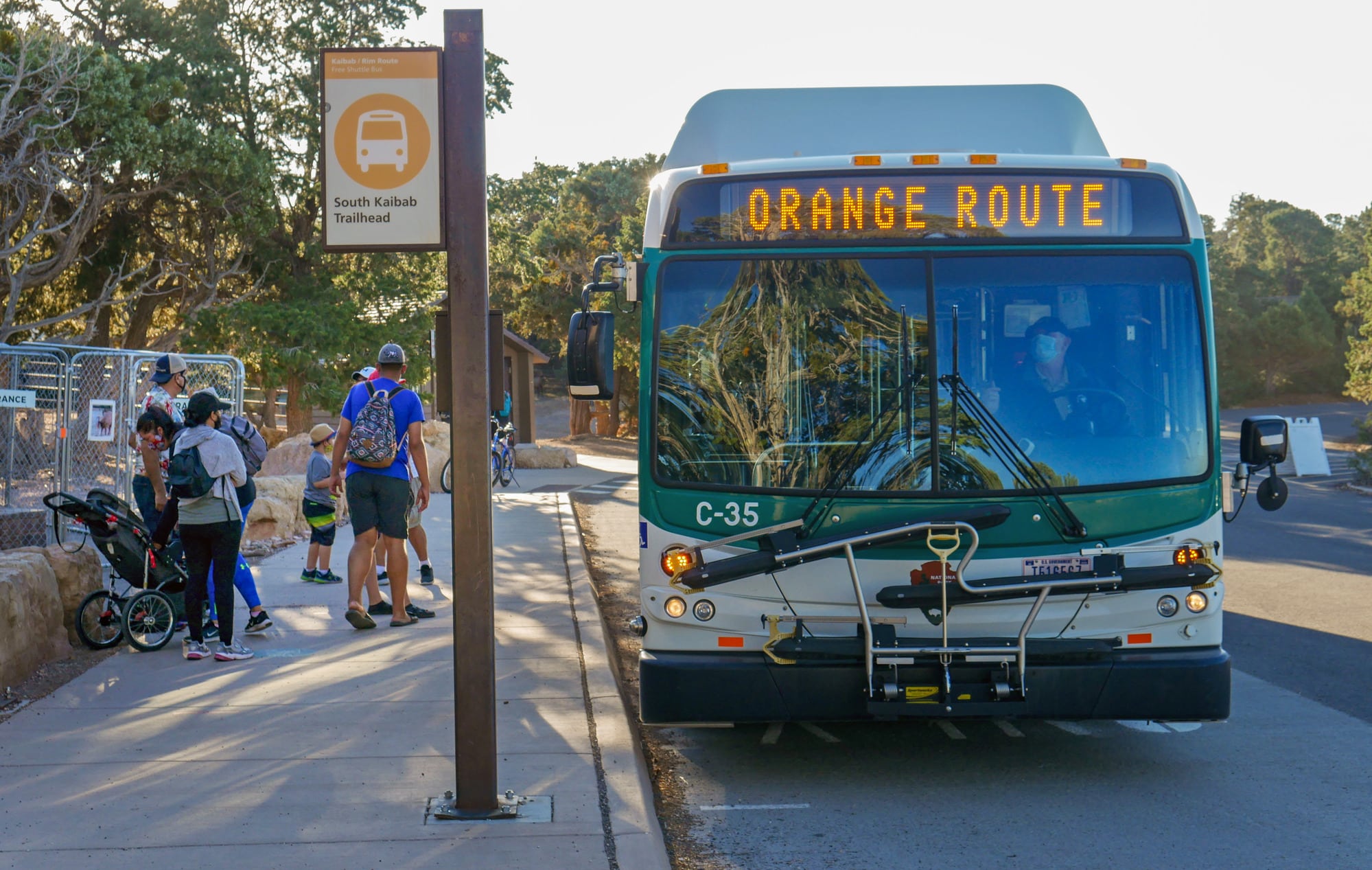
The Kaibab Rim (Orange) Route is the one to know for sightseeing and hiking, and it also runs year round. Heading east from the visitor center, it serves the Yavapai Geology Museum, the South Kaibab Trailhead, and Yaki Point. This matters because Yaki Point and the South Kaibab Trailhead are closed to private vehicles, so the Orange route is the only way to reach them. A round trip runs about 50 minutes. Catch it for sunrise or sunset at Yaki Point, or to start a hike down the South Kaibab Trail.

One quirk worth understanding: the Orange route runs as a loop, and the stops it makes differ slightly depending on direction. Eastbound from the visitor center it heads toward Yaki Point, while westbound it returns by way of the museum. If you are aiming for a specific stop, glance at the route diagram on the bus or at the stop so you board going the right way. The drivers are used to the question, so just ask if you are unsure.
The Hikers’ Express Shuttle
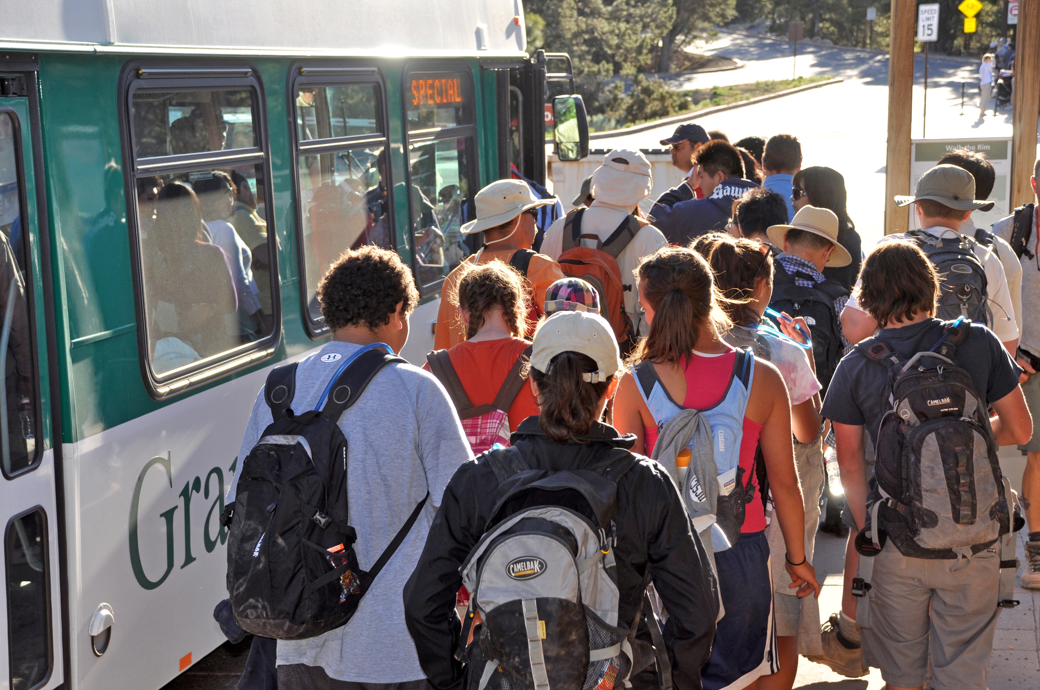
For anyone planning a serious hike below the rim, the Hikers’ Express is a small but crucial service. In the warm months it runs a few early-morning departures, around 4, 5, and 6 a.m., from the Bright Angel Lodge to the Backcountry Information Center and on to the South Kaibab Trailhead. It exists so hikers can get on the trail before the heat builds, which on a canyon descent is a genuine safety matter. If you intend to hike the South Kaibab Trail early, this is the shuttle to plan around; confirm the exact times at the visitor center the day before.
The Hermits Rest Route (Red)

The Hermits Rest (Red) Route is the scenic showpiece, running the 7-mile Hermit Road west from the village past a string of the rim’s best viewpoints, including Hopi Point and Pima Point, out to historic Hermits Rest. Here is the key fact: Hermit Road is closed to private vehicles from March 1 through November 30, so during those months the Red route is the only way to drive that stretch, aside from walking or biking. A full round trip is about 80 minutes, but you will want to hop off and on at the viewpoints. Hopi Point is a celebrated sunset spot.
The Tusayan Route (Purple)

The Tusayan (Purple) Route is a seasonal, summer-only service that connects the gateway town of Tusayan, about 7 miles south of the entrance, to the visitor center. It is a smart way to skip the entrance-station car line and the scramble for parking on the busiest days: leave your car at your Tusayan hotel and ride in. A round trip takes about 50 minutes. Because it only runs in the peak summer months, check whether it is operating before you count on it.
How to Ride: Practical Tips
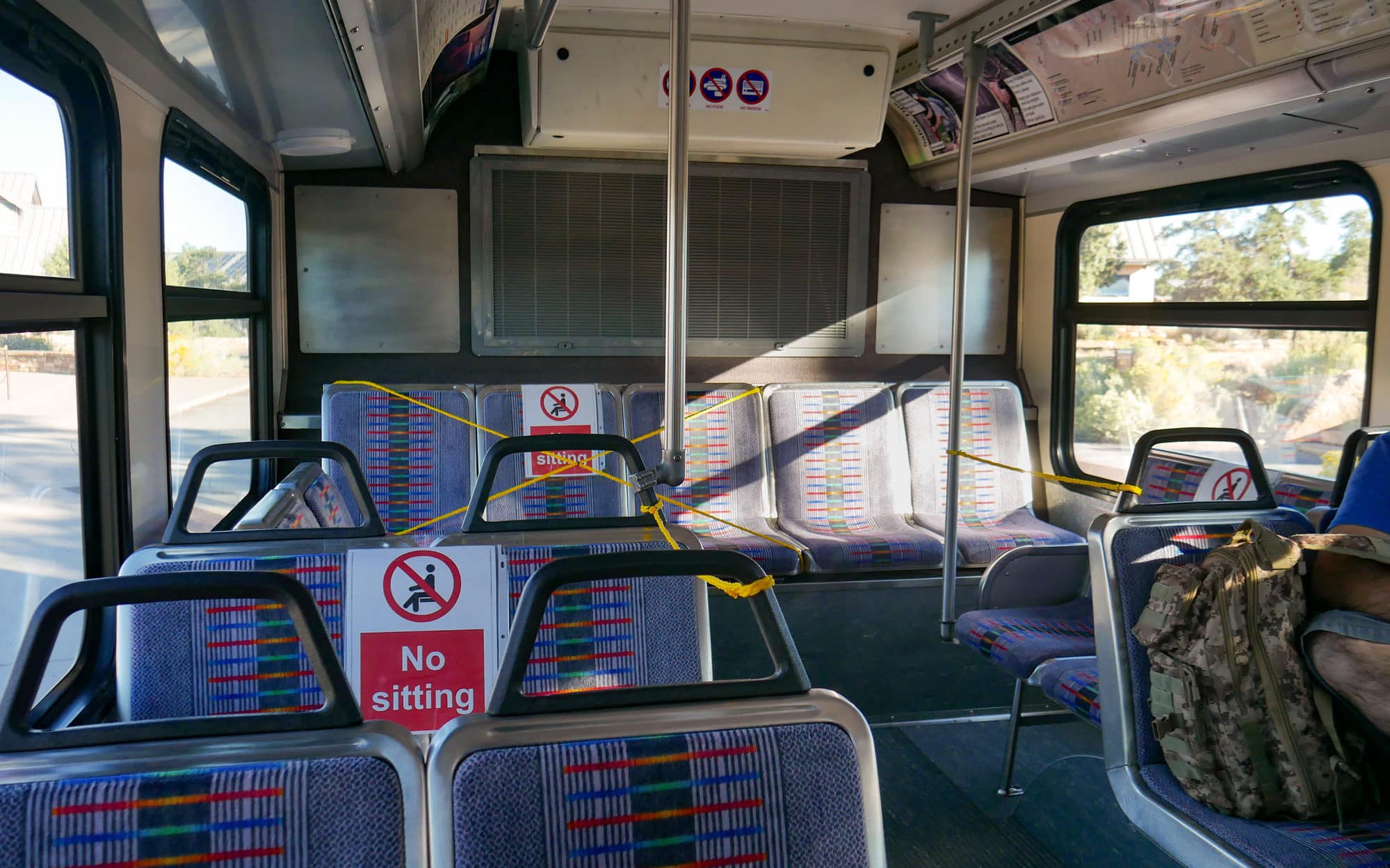
The shuttles are easy once you know the rhythm. Buses run frequently in peak season, often every 10 to 15 minutes, and less often early, late, and in winter. They are wheelchair accessible and can carry a limited number of bikes. There is no need for tickets or exact change because the service is free with admission. Strollers must be folded, and pets are not allowed except service animals.
A few habits make it painless: park once at the visitor center and ride from there rather than chasing rim parking; check the first and last departure times for each route, especially if you are out for sunset, so you are not stranded; and give yourself buffer time, since buses fill at popular stops like Hopi Point at sunset. If a bus is full, the next one is usually minutes behind. Carry water, because waits in the sun add up.
Getting to the Grand Canyon
Most visitors reach the South Rim by car. From Phoenix it is about a 3.5-hour drive, from Las Vegas about 4.5 hours, and from Flagstaff about 1.5 hours. The entrance fee is $35 per vehicle, valid for 7 days at both rims and covered by the America the Beautiful pass. On peak days the line at the South Entrance can be long, which is exactly why parking in Tusayan and riding the Purple route, or simply arriving early, pays off. Once you are inside and parked, the free shuttle network takes over.
To plan the rest of your trip, see our guide to the best time to visit the Grand Canyon, our roundup of the national parks in Arizona, and ideas for a wider Arizona road trip.
What to Bring to Grand Canyon
Gear we recommend for Grand Canyon. Affiliate links support our work at no cost to you.
More Than Just Parks may earn a small commission from purchases made through these links, at no extra cost to you. We only recommend gear we would actually use.
Affiliate disclosure: Some links on this page earn us a small commission at no extra cost to you. We only recommend gear we actually use.