

Established
1964
Size
337,598 acres
Visitors / yr
911K
Entrance
$30
Best season
April through May, September through October
Nearest airport
CNY Canyonlands Field
01
Why Canyonlands is worth the trip
Utah · Established 1964
Canyonlands is Utah's big empty, and we mean that as the highest compliment. The Colorado and Green rivers meet in the middle of 337,598 acres of carved rock and split the park into three districts with no roads between them. Island in the Sky is the mesa-top overlook country most folks see. The Needles is the hiker's district of striped sandstone spires. The Maze is one of the remotest corners of the lower 48, days from help by design.
Start at Island in the Sky. Mesa Arch at sunrise, Grand View Point at sunset, and the White Rim Road threading the cliffs a thousand feet below. Arches next door gets the crowds. Canyonlands gets the silence, and the silence is the better souvenir.
Start with our full Canyonlands guide, then use the planning below.
02
Top things to do in Canyonlands
Where we would start, and what we would plan a day around. Read the full guide.

Start here
20 Things to Do in Canyonlands National Park
Read the guide
01
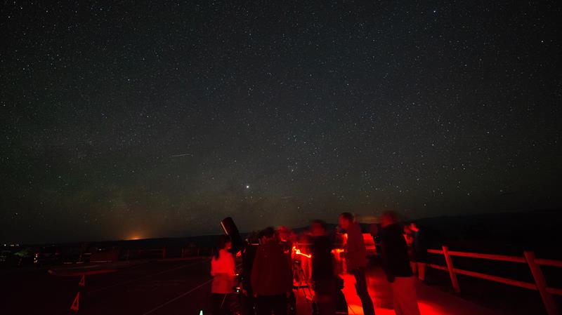 Stargazing · nps.gov
Stargazing Events in Southeast Utah
Rangers occasionally lead stargazing programs and events at parks throughout southeast Utah. Learn about what to expect and check out a schedule of stargazing...
02
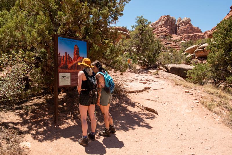 Hiking · nps.gov
Hiking at Canyonlands
Canyonlands has hundreds of miles of hiking trails which explore the park’s natural and cultural features. Both Island in the Sky and The Needles...
03
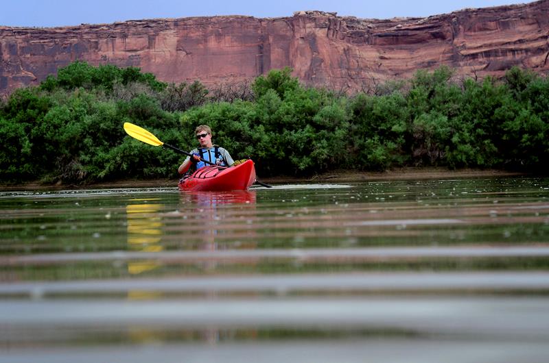 Boating · nps.gov
Boating in Canyonlands
The Colorado and Green rivers have played a significant role in shaping the landscape of Canyonlands. Boating is a great way to see the...
04
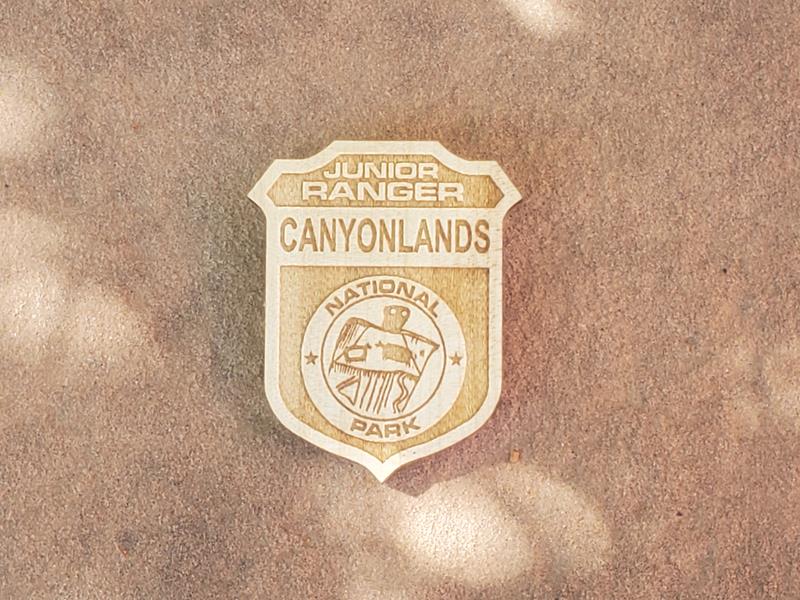 Junior Ranger Program · nps.gov
Canyonlands Junior Ranger Program
There are a few ways to become a junior ranger at Canyonlands. Free junior ranger booklets are available at park visitor centers, or you...
Stargazing · nps.gov
Stargazing Events in Southeast Utah
Rangers occasionally lead stargazing programs and events at parks throughout southeast Utah. Learn about what to expect and check out a schedule of stargazing...
02
Hiking · nps.gov
Hiking at Canyonlands
Canyonlands has hundreds of miles of hiking trails which explore the park’s natural and cultural features. Both Island in the Sky and The Needles...
03
Boating · nps.gov
Boating in Canyonlands
The Colorado and Green rivers have played a significant role in shaping the landscape of Canyonlands. Boating is a great way to see the...
04
Junior Ranger Program · nps.gov
Canyonlands Junior Ranger Program
There are a few ways to become a junior ranger at Canyonlands. Free junior ranger booklets are available at park visitor centers, or you...
03
Best hikes in Canyonlands
The trails that define the park, with the distance and elevation numbers that decide your day.
1
Grand View Point
The single best payoff per step hike in the park.
2
Mesa Arch
The most photographed spot in Canyonlands, right on the cliff edge.
3
Chesler Park / Joint Trail Loop
The finest long day hike in the Needles district.
4
Druid Arch
A monolithic span that looks more like Stonehenge than an arch.
5
Salt Creek Canyon Trail
The greenest and most archaeologically dense corridor in the park.
Before you go
Get the Canyonlands heads-up
Permit windows, closures and seasonal alerts, plus our best Canyonlands guides, in your inbox before you go. Free, no spam.
04
Plan your trip
Our guides for the big decisions, plus the gear, maps and lodging we would actually use for Canyonlands.
Where to stay
Gateway towns with lodging, food and outfitters.
- Moab, UTGateway town
- The Needles Campground 26 sites · Reserve
- Island in the Sky (Willow Flat) Campground 12 sites
Maps & guides
Carry paper. Cell service dies fast inside most parks.
America the Beautiful pass
$80 a year. Covers entrance fees at more than 2,000 federal recreation sites.
Get the pass
What to bring
Field-tested picks we bring on park trips.
-
Sun HatFull-brim coverage for exposed trails with zero shade. View on REI
-
Water BottlesCarry at least 2 liters. More in desert heat. View on REI
-
Hiking BootsAnkle support and grip for rocky, uneven terrain. View on REI
-
Sun-Protective ShirtUPF 50+ fabric keeps you cool and blocks UV all day. View on REI
Getting there
- CNY Canyonlands Field 18 mi
- GJT Grand Junction Regional 115 mi
- SLC Salt Lake City International 240 mi
Some links in this section are affiliate links. If you book or buy through them we earn a small commission at no extra cost to you. We only recommend what we would use ourselves.
Canyonlands map
VC Visitor Center
CG Campground
Nearby Park
05
When to go
Loading weather...
Month-by-Month Conditions
Tap any month for details
Month
High
Low
Crowds
Roads
Jan
37°
22°
Low
Open
Feb
43°
27°
Low
Open
Mar
54°
35°
Heavy
Open
Apr Best
62°
40°
Peak
Open
May Best
72°
50°
Peak
Open
Jun
85°
62°
Heavy
Open
Jul
91°
68°
Moderate
Open
Aug
88°
66°
Moderate
Open
Sep
79°
57°
Heavy
Open
Oct
65°
44°
Heavy
Open
Nov
49°
33°
Light
Open
Dec
37°
23°
Low
Open
Best months to visit
Crowd level (low to peak)


07
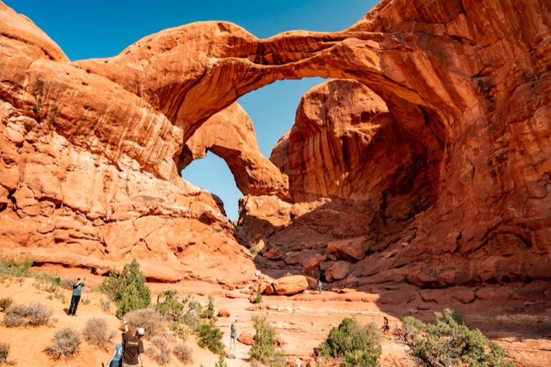
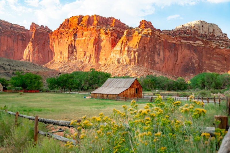
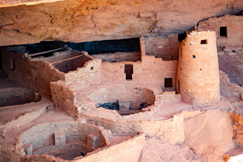
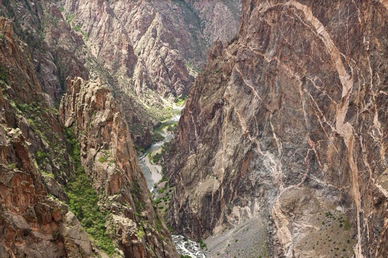
Parks near Canyonlands
Within reach if you are building a longer trip.
Worth protecting
Canyonlands belongs to all of us
Protections that took generations to win can be rolled back in a single session of Congress. We keep watch so they hold.
Stay in the Loop
Free dispatches on the parks and the policy fights around them, almost every day. Threats tracked, wins celebrated, no fluff.
Threatened Lands Map
Follow what's happening on federal lands across the country with our interactive map.
View the Tracker