

Established
1971
Size
76,679 acres
Visitors / yr
1.8M
Entrance
$30
Best season
April through May, September through October
Nearest airport
CNY Canyonlands Field
01
Why Arches is worth the trip
Utah · Established 1971
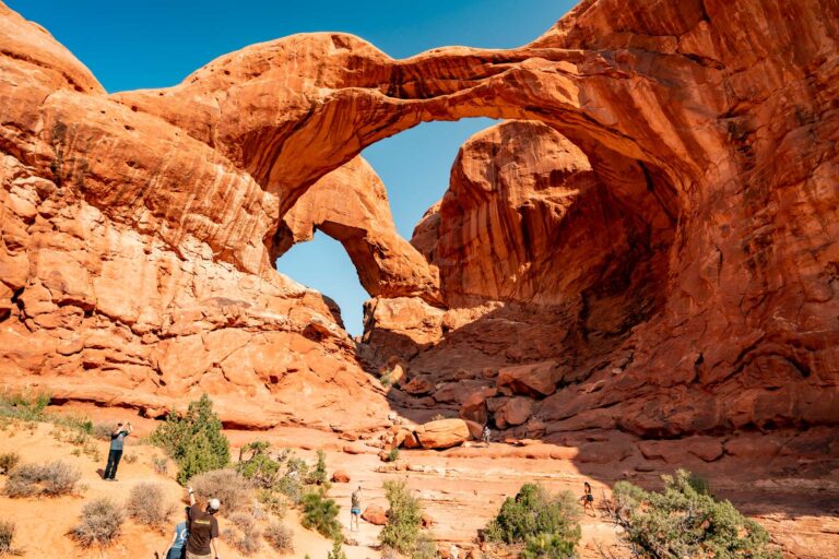
More than 2,000 natural stone arches crowd this one compact patch of Utah desert, the densest concentration on Earth, and the strange part is how easy the park makes them. Most of the greatest hits sit within a short walk of the 18-mile scenic road. Delicate Arch, the 65-foot freestanding ring on every Utah license plate, asks a little more, three miles round trip up open slickrock with no shade, and repays every step at sunset.
Go early or go late. The park has used timed-entry reservations in peak season, so check before you drive out, and the midday desert is a furnace anyway. Dawn in the Windows section, with the snowcapped La Sal Mountains behind red rock, is the photograph folks cross the country for.
Start with our full Arches guide, then use the planning below.
02
Top things to do in Arches
Where we would start, and what we would plan a day around. Read the full guide.
Start here
17 Things to Do in Arches National Park
Read the guide
01
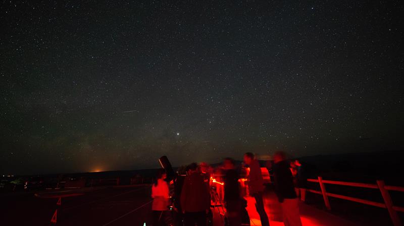 Stargazing · nps.gov
Stargazing Events in Southeast Utah
Rangers occasionally lead stargazing programs and events at parks throughout southeast Utah. Learn about what to expect and check out a schedule of stargazing...
02
Stargazing · nps.gov
Stargazing Events in Southeast Utah
Rangers occasionally lead stargazing programs and events at parks throughout southeast Utah. Learn about what to expect and check out a schedule of stargazing...
02
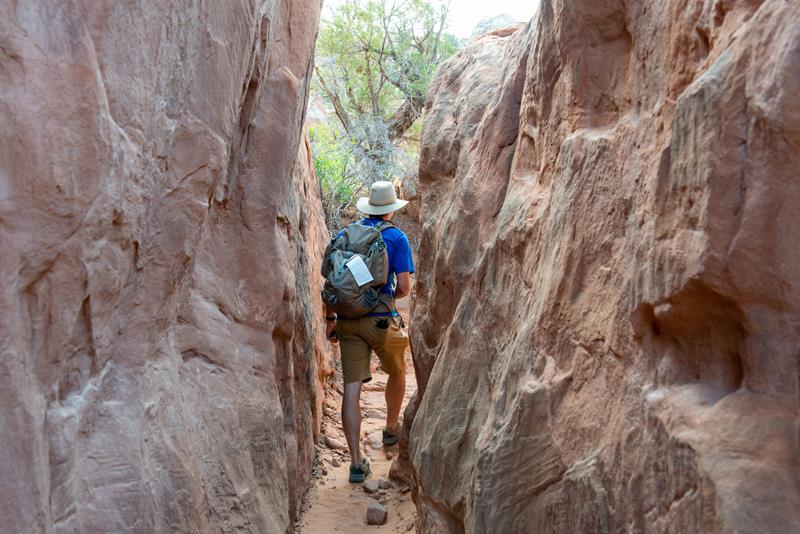 Off-Trail Permitted Hiking · nps.gov
Explore the Fiery Furnace
Entry to the Fiery Furnace is managed by permits and ranger-led tours to ensure the experience of solitude and wilderness.
03
Off-Trail Permitted Hiking · nps.gov
Explore the Fiery Furnace
Entry to the Fiery Furnace is managed by permits and ranger-led tours to ensure the experience of solitude and wilderness.
03
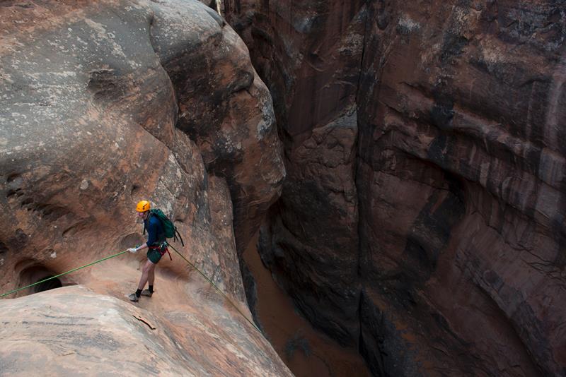 Canyoneering · nps.gov
Canyoneering at Arches
Arches has no real "slot canyons" but does afford some unique on-rope opportunities.
04
Canyoneering · nps.gov
Canyoneering at Arches
Arches has no real "slot canyons" but does afford some unique on-rope opportunities.
04
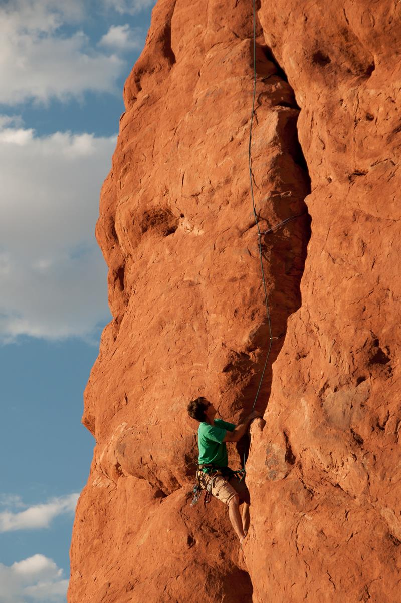 Rock Climbing · nps.gov
Rock Climbing at Arches
Most climbing routes in the park require advanced techniques. Climbing is not allowed on any arches or certain named features, such as Balanced Rock.
Rock Climbing · nps.gov
Rock Climbing at Arches
Most climbing routes in the park require advanced techniques. Climbing is not allowed on any arches or certain named features, such as Balanced Rock.
Stargazing · nps.gov
Stargazing Events in Southeast Utah
Rangers occasionally lead stargazing programs and events at parks throughout southeast Utah. Learn about what to expect and check out a schedule of stargazing...
02
Off-Trail Permitted Hiking · nps.gov
Explore the Fiery Furnace
Entry to the Fiery Furnace is managed by permits and ranger-led tours to ensure the experience of solitude and wilderness.
03
Canyoneering · nps.gov
Canyoneering at Arches
Arches has no real "slot canyons" but does afford some unique on-rope opportunities.
04
Rock Climbing · nps.gov
Rock Climbing at Arches
Most climbing routes in the park require advanced techniques. Climbing is not allowed on any arches or certain named features, such as Balanced Rock.
03
Best hikes in Arches
The trails that define the park, with the distance and elevation numbers that decide your day.
1
Delicate Arch Trail
The most famous landform in Utah, seen up close.
2
Devils Garden Trail
A sandstone wilderness with some of the park's best scenery.
3
Balanced Rock Trail
After Delicate Arch, the park's most flat out iconic landform.
4
The Fiery Furnace
A scabland of fins, arches, domes and pillars off the main road.
5
The Windows Loop
The beating heart of Arches, per the Park Service.
Before you go
Get the Arches heads-up
Permit windows, closures and seasonal alerts, plus our best Arches guides, in your inbox before you go. Free, no spam.
04
Plan your trip
Our guides for the big decisions, plus the gear, maps and lodging we would actually use for Arches.
Where to stay
Gateway towns with lodging, food and outfitters.
- Moab, UTGateway town
- Devils Garden Campground 51 sites · Reserve
Maps & guides
Carry paper. Cell service dies fast inside most parks.
America the Beautiful pass
$80 a year. Covers entrance fees at more than 2,000 federal recreation sites.
Get the pass
What to bring
Field-tested picks we bring on park trips.
-
Sun HatFull-brim coverage for exposed trails with zero shade. View on REI
-
Water BottlesCarry at least 2 liters. More in desert heat. View on REI
-
Hiking BootsAnkle support and grip for rocky, uneven terrain. View on REI
-
Sun-Protective ShirtUPF 50+ fabric keeps you cool and blocks UV all day. View on REI
Getting there
- CNY Canyonlands Field 16 mi
- GJT Grand Junction Regional 110 mi
- SLC Salt Lake City International 236 mi
Some links in this section are affiliate links. If you book or buy through them we earn a small commission at no extra cost to you. We only recommend what we would use ourselves.
Arches map
VC Visitor Center
CG Campground
Nearby Park
05
When to go
Loading weather...
Live Webcams

Month-by-Month Conditions
Tap any month for details
Month
High
Low
Crowds
Roads
Jan
44°
22°
Low
Open
Feb
52°
28°
Light
Open
Mar
64°
35°
Heavy
Open
Apr Best
71°
42°
Heavy
Open
May Best
82°
51°
Peak
Open
Jun
93°
60°
Heavy
Open
Jul
100°
67°
Heavy
Open
Aug
97°
66°
Heavy
Open
Sep
88°
55°
Heavy
Open
Oct
74°
42°
Heavy
Open
Nov
56°
30°
Light
Open
Dec
45°
23°
Light
Open
Best months to visit
Crowd level (low to peak)

07
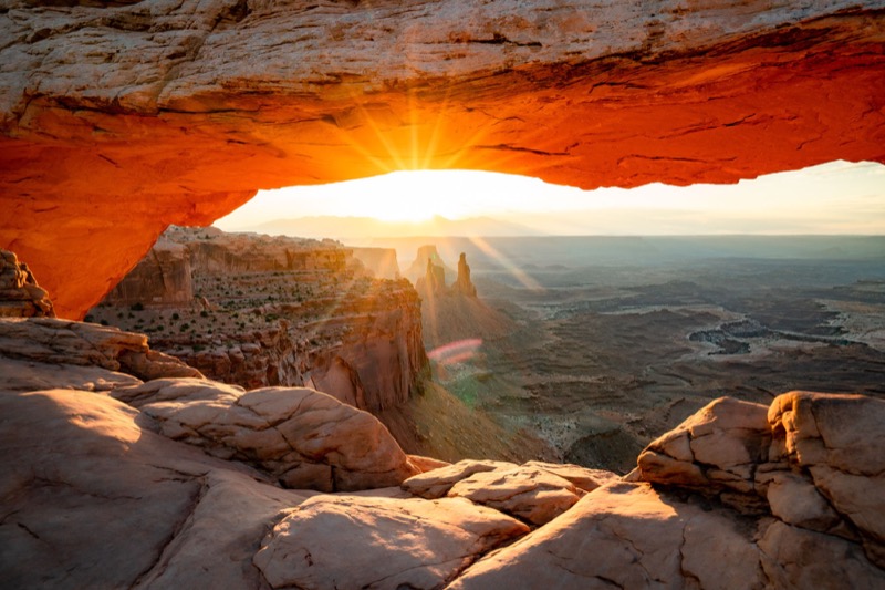
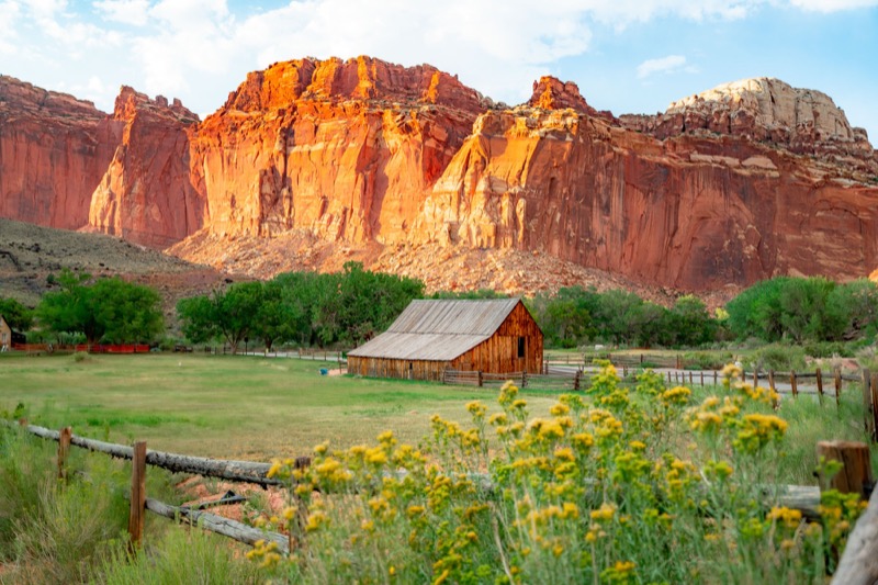
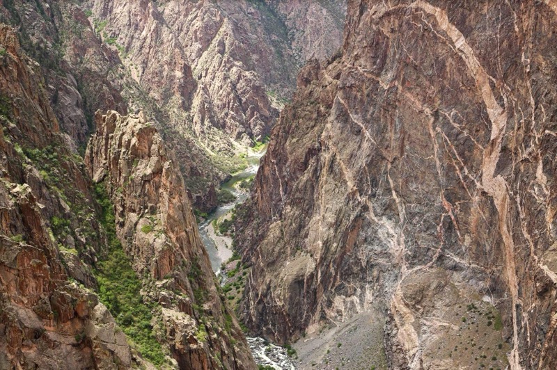
Parks near Arches
Within reach if you are building a longer trip.
Worth protecting
Arches belongs to all of us
Protections that took generations to win can be rolled back in a single session of Congress. We keep watch so they hold.
Stay in the Loop
Free dispatches on the parks and the policy fights around them, almost every day. Threats tracked, wins celebrated, no fluff.
Threatened Lands Map
Follow what's happening on federal lands across the country with our interactive map.
View the Tracker