
Established
1902
Size
183,224 acres
Visitors / yr
704K
Entrance
$30
Best season
July through September
Nearest airport
MFR Rogue Valley International-Medford
01
Why Crater Lake is worth the trip
Oregon · Established 1902
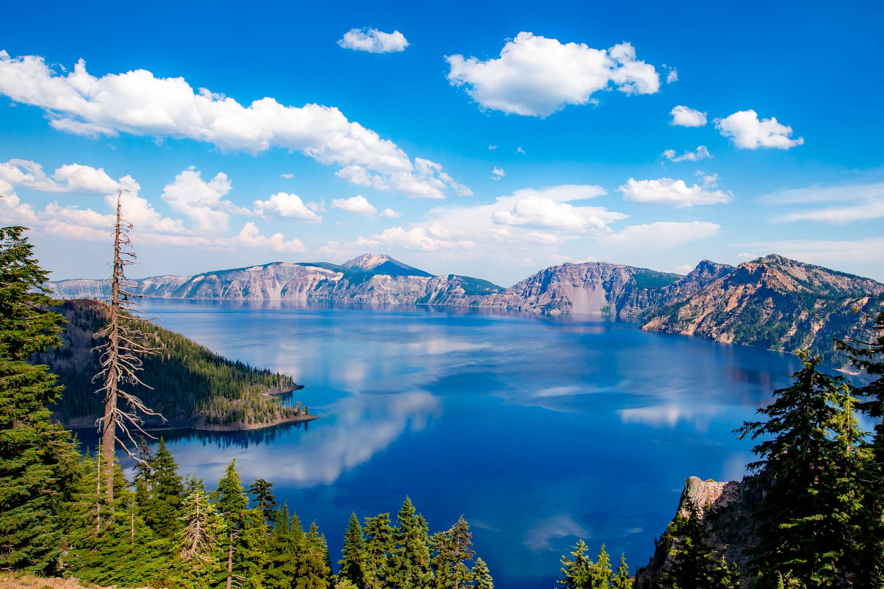
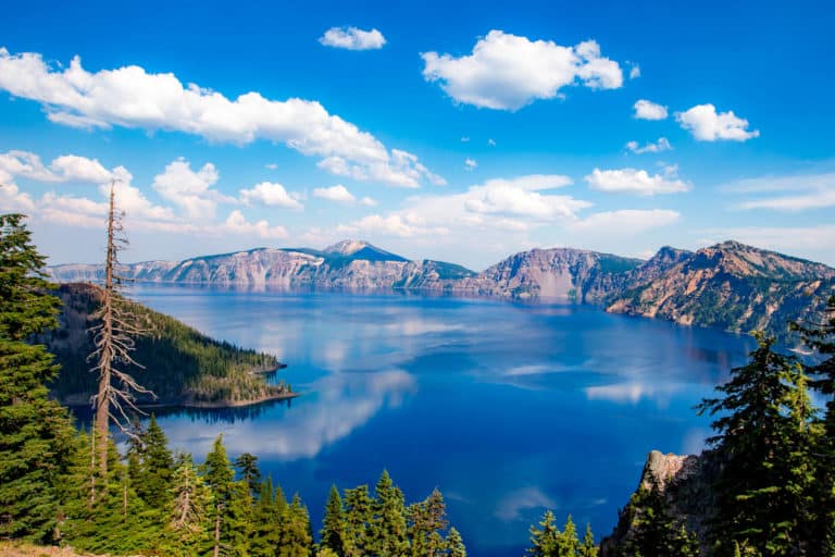
Crater Lake is a color you will not quite believe in person. About 7,700 years ago Mount Mazama collapsed into itself, and the caldera filled with nothing but snowmelt and rain, no rivers in, no rivers out. The result is the deepest lake in the United States at 1,943 feet and some of the clearest, bluest water on the planet, with Wizard Island, a volcano inside the volcano, floating offshore.
Rim Drive circles the caldera for 33 miles of pull-over-and-stare views. Just respect the snow. This is one of the snowiest inhabited places in America, averaging more than 40 feet a year, and the full rim often does not open until July. Come in August, when the road is clear, the wildflowers are up, and the lake holds its deepest blue under high sun.
Start with our full Crater Lake guide, then use the planning below.
02
Top things to do in Crater Lake
Where we would start, and what we would plan a day around. Read the full guide.
Start here
20 Things to Do in Crater Lake National Park
Read the guide
01
 Snowshoeing · nps.gov
Snowshoeing at Crater Lake
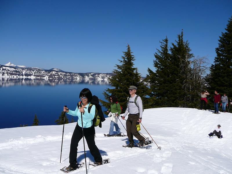
Snowshoeing is a popular activity during the long winter at Crater Lake National Park.
02
Snowshoeing · nps.gov
Snowshoeing at Crater Lake
Snowshoeing is a popular activity during the long winter at Crater Lake National Park.
02
 Scenic Driving · nps.gov
Scenic Rim Drive
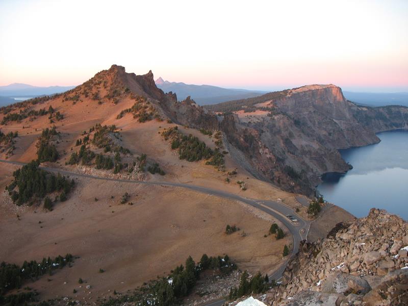
The historic Rim Drive includes 33-miles (53-km) of lake views, panoramic vistas, forests and meadows. The contours of the road were designed to compliment...
03
Scenic Driving · nps.gov
Scenic Rim Drive
The historic Rim Drive includes 33-miles (53-km) of lake views, panoramic vistas, forests and meadows. The contours of the road were designed to compliment...
03
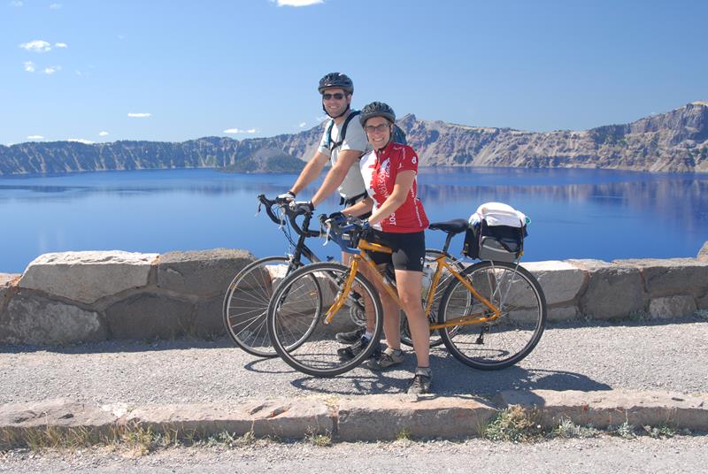 Road Biking · nps.gov
Biking at Crater Lake
Each year, increasing numbers of cyclists come to Crater Lake National Park to ride around the lake on the physically demanding, 33 mile (53...
Road Biking · nps.gov
Biking at Crater Lake
Each year, increasing numbers of cyclists come to Crater Lake National Park to ride around the lake on the physically demanding, 33 mile (53...
Snowshoeing · nps.gov
Snowshoeing at Crater Lake
Snowshoeing is a popular activity during the long winter at Crater Lake National Park.
02
Scenic Driving · nps.gov
Scenic Rim Drive
The historic Rim Drive includes 33-miles (53-km) of lake views, panoramic vistas, forests and meadows. The contours of the road were designed to compliment...
03
Road Biking · nps.gov
Biking at Crater Lake
Each year, increasing numbers of cyclists come to Crater Lake National Park to ride around the lake on the physically demanding, 33 mile (53...
Before you go
Get the Crater Lake heads-up
Permit windows, closures and seasonal alerts, plus our best Crater Lake guides, in your inbox before you go. Free, no spam.
03
Plan your trip
Our guides for the big decisions, plus the gear, maps and lodging we would actually use for Crater Lake.
Where to stay
Gateway towns with lodging, food and outfitters.
- Prospect, ORGateway town
- Fort Klamath, ORGateway town
- Chiloquin, ORGateway town
- Lost Creek Campground 16 sites
- Mazama Campground 214 sites · Reserve
Maps & guides
Carry paper. Cell service dies fast inside most parks.
America the Beautiful pass
$80 a year. Covers entrance fees at more than 2,000 federal recreation sites.
Get the pass
What to bring
Field-tested picks we bring on park trips.
-
Trekking PolesSave your knees on steep descents and river crossings. View on REI
-
Rain JacketMountain weather turns fast. Pack a shell even on clear mornings. View on REI
-
Fleece JacketMid-layer warmth for alpine mornings and evening campfires. View on REI
-
Hiking BootsAnkle support and grip for rocky, uneven terrain. View on REI
Getting there
- MFR Rogue Valley International-Medford 80 mi
- RDM Redmond Municipal 130 mi
Some links in this section are affiliate links. If you book or buy through them we earn a small commission at no extra cost to you. We only recommend what we would use ourselves.
Crater Lake map
VC Visitor Center
CG Campground
Nearby Park
04
When to go
Loading weather...
Month-by-Month Conditions
Tap any month for details
Month
High
Low
Crowds
Roads
Jan
33°
20°
Low
Partial
Feb
34°
19°
Low
Partial
Mar
36°
20°
Low
Partial
Apr
40°
23°
Low
Partial
May
49°
29°
Light
Partial
Jun
57°
34°
Heavy
Open
Jul Best
69°
41°
Peak
Open
Aug Best
69°
42°
Peak
Open
Sep Best
63°
37°
Peak
Open
Oct
51°
30°
Moderate
Partial
Nov
38°
23°
Low
Partial
Dec
33°
19°
Low
Partial
Best months to visit
Crowd level (low to peak)
05
More Crater Lake guides

06
Parks near Crater Lake
Within reach if you are building a longer trip.
Worth protecting
Crater Lake belongs to all of us
Protections that took generations to win can be rolled back in a single session of Congress. We keep watch so they hold.
Stay in the Loop
Free dispatches on the parks and the policy fights around them, almost every day. Threats tracked, wins celebrated, no fluff.
Threatened Lands Map
Follow what's happening on federal lands across the country with our interactive map.
View the Tracker