
Established
1944
Size
801,163 acres
Visitors / yr
463K
Entrance
$30
Best season
October through April
Nearest airport
MAF Midland International
01
Why Big Bend is worth the trip
Texas · Established 1944
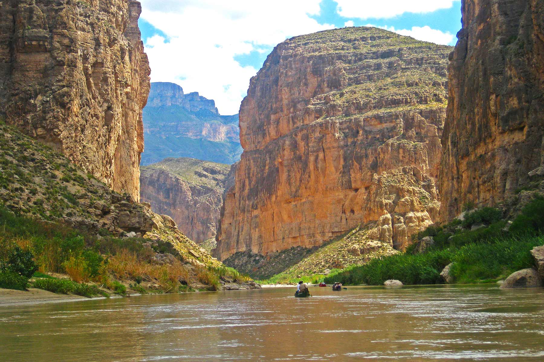
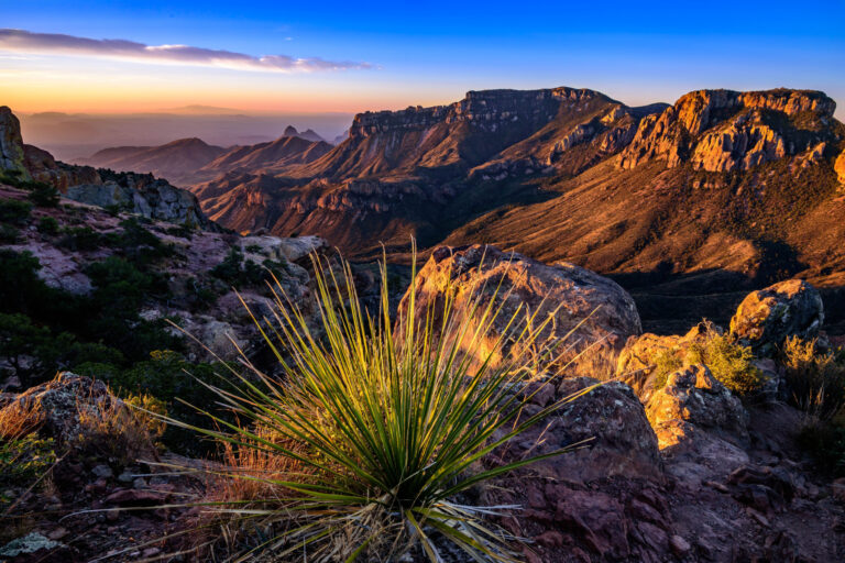
Big Bend is what happens when you drop a mountain range into a desert and wrap a river around it. One park holds the Chihuahuan Desert, the forested Chisos Mountains rising to 7,832 feet, and the Rio Grande sawing through Santa Elena Canyon beneath 1,500-foot limestone walls you can paddle between. It sits hours from the nearest interstate in far west Texas, and that remoteness is the amenity.
The nights are the headliner. Big Bend has some of the darkest measured skies of any park in the contiguous United States. Soak in the 105-degree hot springs on the riverbank, watch the Milky Way rise, and remember the far canyon wall is Mexico. Come October through April. Summer here is a dare.
Start with our full Big Bend guide, then use the planning below.
02
Top things to do in Big Bend
Where we would start, and what we would plan a day around. Read the full guide.
Start here
20 Things to Do in Big Bend National Park
Read the guide
01
 Backcountry Camping · nps.gov
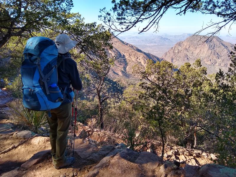
Backpacking Big Bend
Big Bend National Park is a backpacker's paradise. For those who come prepared, there are hundreds of miles of trails, and vast expanses to...
02
Backcountry Camping · nps.gov
Backpacking Big Bend
Big Bend National Park is a backpacker's paradise. For those who come prepared, there are hundreds of miles of trails, and vast expanses to...
02
 Bookstore and Park Store · nps.gov
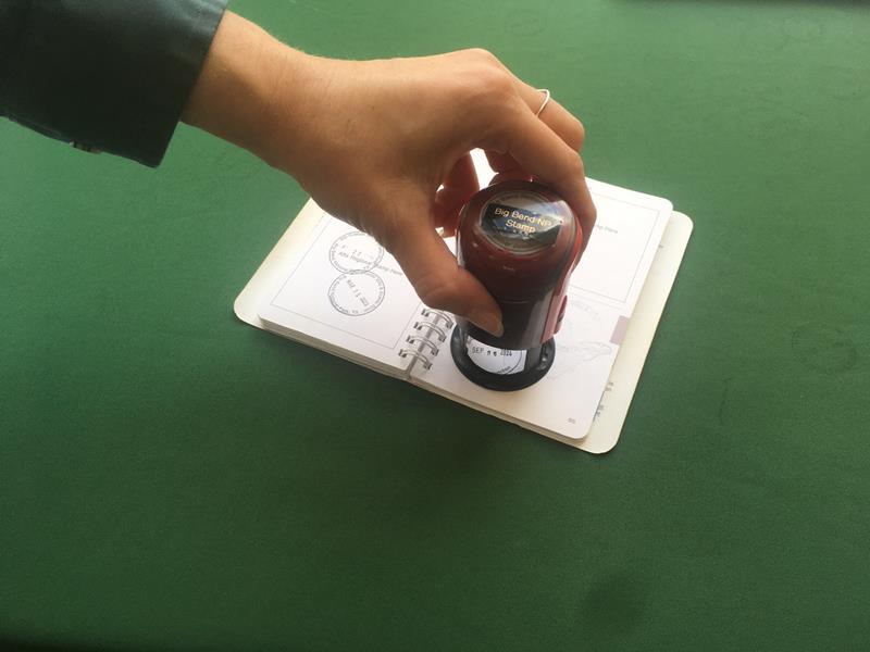
Get a Big Bend Passport Stamp
Are you a "Passport to Your National Parks" cancellation collector? Big Bend National Park has a cancellation stamp to commemorate your visit in your...
03
Bookstore and Park Store · nps.gov
Get a Big Bend Passport Stamp
Are you a "Passport to Your National Parks" cancellation collector? Big Bend National Park has a cancellation stamp to commemorate your visit in your...
03
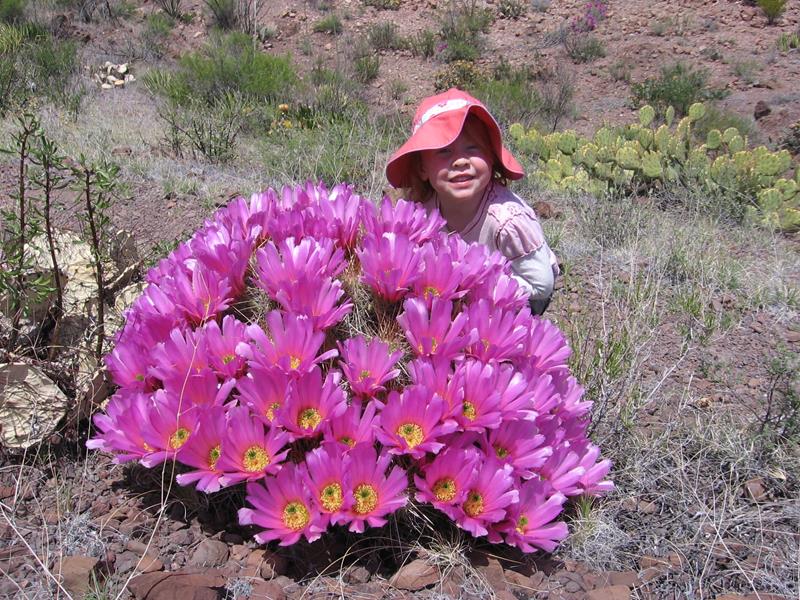 Junior Ranger Program · nps.gov
Big Bend Junior Rangers
Big Bend National Park invites young visitors to become official Junior Rangers.
04
Junior Ranger Program · nps.gov
Big Bend Junior Rangers
Big Bend National Park invites young visitors to become official Junior Rangers.
04
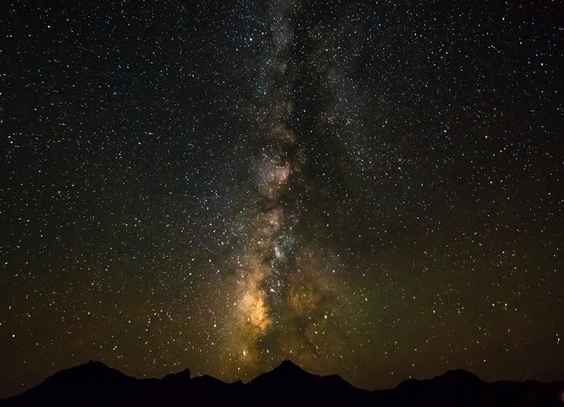 Astronomy · nps.gov
View the Night Sky
Far away from most city lights, Big Bend National Park preserves pristine darkness. Take this chance to stargaze, and experience the half of the...
Astronomy · nps.gov
View the Night Sky
Far away from most city lights, Big Bend National Park preserves pristine darkness. Take this chance to stargaze, and experience the half of the...
Backcountry Camping · nps.gov
Backpacking Big Bend
Big Bend National Park is a backpacker's paradise. For those who come prepared, there are hundreds of miles of trails, and vast expanses to...
02
Bookstore and Park Store · nps.gov
Get a Big Bend Passport Stamp
Are you a "Passport to Your National Parks" cancellation collector? Big Bend National Park has a cancellation stamp to commemorate your visit in your...
03
Junior Ranger Program · nps.gov
Big Bend Junior Rangers
Big Bend National Park invites young visitors to become official Junior Rangers.
04
Astronomy · nps.gov
View the Night Sky
Far away from most city lights, Big Bend National Park preserves pristine darkness. Take this chance to stargaze, and experience the half of the...
03
Best hikes in Big Bend
The trails that define the park, with the distance and elevation numbers that decide your day.
1
Lost Mine Trail
The single best hike in Big Bend National Park.
2
Emory Peak Trail
The highest point in the park at 7,832 feet.
3
Santa Elena Canyon Trail
The most photographed spot in Big Bend, and it earns every frame.
4
South Rim Trail
The most rewarding hike here if you have fitness and time.
5
The Window Trail
Oak Creek pours through a notch and drops to the desert.
Before you go
Get the Big Bend heads-up
Permit windows, closures and seasonal alerts, plus our best Big Bend guides, in your inbox before you go. Free, no spam.
04
Plan your trip
Our guides for the big decisions, plus the gear, maps and lodging we would actually use for Big Bend.
Where to stay
Gateway towns with lodging, food and outfitters.
Maps & guides
Carry paper. Cell service dies fast inside most parks.
America the Beautiful pass
$80 a year. Covers entrance fees at more than 2,000 federal recreation sites.
Get the pass
What to bring
Field-tested picks we bring on park trips.
-
Sun HatFull-brim coverage for exposed trails with zero shade. View on REI
-
Water BottlesCarry at least 2 liters. More in desert heat. View on REI
-
Hiking BootsAnkle support and grip for rocky, uneven terrain. View on REI
-
Sun-Protective ShirtUPF 50+ fabric keeps you cool and blocks UV all day. View on REI
Getting there
- MAF Midland International 230 mi
- ELP El Paso International 325 mi
Some links in this section are affiliate links. If you book or buy through them we earn a small commission at no extra cost to you. We only recommend what we would use ourselves.
Big Bend map
VC Visitor Center
CG Campground
Nearby Park
05
When to go
Loading weather...
Live Webcams

Month-by-Month Conditions
Tap any month for details
Month
High
Low
Crowds
Roads
Jan Best
59°
37°
Moderate
Open
Feb Best
63°
41°
Heavy
Open
Mar Best
70°
46°
Peak
Open
Apr Best
77°
53°
Heavy
Open
May
84°
62°
Moderate
Open
Jun
88°
66°
Light
Open
Jul
87°
67°
Light
Open
Aug
87°
66°
Low
Open
Sep
80°
61°
Light
Open
Oct Best
74°
53°
Moderate
Open
Nov Best
65°
45°
Heavy
Open
Dec Best
61°
41°
Heavy
Open
Best months to visit
Crowd level (low to peak)

07
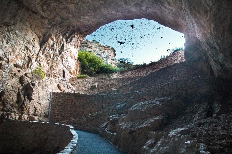
Parks near Big Bend
Within reach if you are building a longer trip.

Worth protecting
Big Bend belongs to all of us
Protections that took generations to win can be rolled back in a single session of Congress. We keep watch so they hold.
Stay in the Loop
Free dispatches on the parks and the policy fights around them, almost every day. Threats tracked, wins celebrated, no fluff.
Threatened Lands Map
Follow what's happening on federal lands across the country with our interactive map.
View the Tracker