
Higher ground turns first, so the slopes above the road lead the valley by a few days.
No new reports from the ground here this week.
- 2,250–2,500 ftStill greenpeak Oct 2312%
- 2,000–2,250 ftStill greenpeak Oct 2419%
- 1,750–2,000 ftStill greenpeak Oct 2524%
- 1,500–1,750 ftStill greenpeak Oct 2629%
- 1,250–1,500 ftStill greenpeak Oct 2716%
Height off 3DEP inside the river’s own boundary; each band carries the date our model gives that elevation, corrections and all. The percentage is how much of the river stands in it.
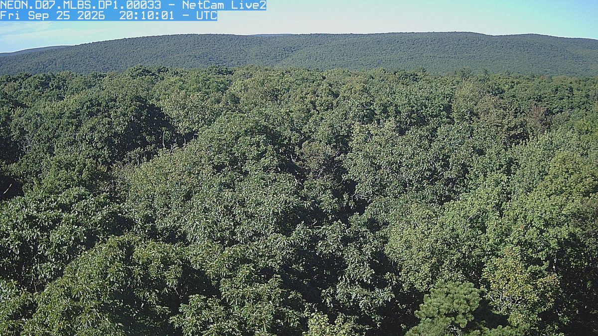
That’s 5 days later than our model alone would say. This September has been running warm, which shifts peak color.
Plan this tripIf you can only come on certain days
Set the days you can be here. Everything under them answers for those days, not for peak.
Friday 23 October to Saturday 24 October
You’ll find it peak color up high, nearly peak lower down.
Up at 2,250 feet the stands peak around Oct 23; down at 1,500 feet they hold on until about Oct 27. Pick your elevation for the day you come.
- 2,250–2,500 ftPeak colorpeak Oct 23
- 2,000–2,250 ftPeak colorpeak Oct 24
- 1,750–2,000 ftPeak colorpeak Oct 25
- 1,500–1,750 ftNearly peakpeak Oct 26
- 1,250–1,500 ftNearly peakpeak Oct 27
- Where to drive
- Highland Scenic Highway (Route 150), about 69 miles · Route 39 (Goshen Pass), about 86 miles · Blue Ridge Parkway (NC Section), about 140 miles
- What turns
- white oak, northern red oak, red maple, shagbark hickory, blackgum
What turns, and when
- white oak30%
- northern red oak20%
- red maple20%
- shagbark hickory10%
- blackgum5%
- tulip poplar5%
Also named across West Virginia, outside what the canopy read measures here: Sugar Maple, American Beech.
West Virginia is almost entirely forested, and when the sugar maples, oaks, and tulip poplars turn, the entire state becomes a continuous canopy of orange, gold, burgundy, and bronze.
This forecast is built from the species that stand here, their elevation and this September’s weather, and corrected in season by cameras, foresters and our own crew. We score it here against 16 long-running forest cameras: two dates in three land within 7 days of the camera’s own peak. How this map is made