
Peak color lands around Oct 23 in most of West Virginia, but it moves 12 days across the state. Here’s where, and when, and how sure we are.
West Virginia’s season, place by place
Every place we forecast in West Virginia, each set on the calendar at its peak and painted by how far along it is today, Sep 25.
First: Dolly Sods Wilderness, Oct 11. Last: Harpers Ferry National Historical Park, Oct 25.
The dashed rule is today; the solid one is the median of the places on this chart, Oct 15. The date at the top of the page is the median county, which includes the low ground between them.
The county map today
Where to go in West Virginia
The destinations we cover in West Virginia, in the order their color arrives. Each carries its own forecast and its own band, because a state isn’t one place.
- Dolly Sods WildernessToo earlyPeak 11 Oct best 10 to 13 Oct
- Roaring Plains West WildernessToo earlyPeak 11 Oct best 10 to 13 Oct
- Dolly Sods Scenic AreaToo earlyPeak 12 Oct best 11 to 14 Oct
- Gaudineer Scenic AreaToo earlyPeak 12 Oct best 11 to 14 Oct
- Canaan Valley National Wildlife RefugeToo earlyPeak 13 Oct best 12 to 15 Oct
- Laurel Fork South WildernessToo earlyPeak 13 Oct best 12 to 15 Oct
- Too earlyPeak 14 Oct best 13 to 16 Oct
- Laurel Fork North WildernessToo earlyPeak 14 Oct best 13 to 16 Oct
- Cranberry Glades Botanical AreaToo earlyPeak 14 Oct best 13 to 16 Oct
- Too earlyPeak 15 Oct best 14 to 17 Oct
- Otter Creek WildernessToo earlyPeak 15 Oct best 14 to 17 Oct
- Falls of Hill Creek Scenic AreaToo earlyPeak 15 Oct best 14 to 17 Oct
- Too earlyPeak 16 Oct best 15 to 18 Oct
- Spice Run WildernessToo earlyPeak 19 Oct best 18 to 21 Oct
- Big Draft WildernessToo earlyPeak 20 Oct best 19 to 22 Oct
- Too earlyPeak 21 Oct best 20 to 23 Oct
- Too earlyPeak 22 Oct best 21 to 24 Oct
- Too earlyPeak 22 Oct best 21 to 24 Oct
- Ohio River Islands National Wildlife RefugeToo earlyPeak 24 Oct best 23 to 26 Oct
- Too earlyPeak 24 Oct best 23 to 26 Oct
- Too earlyPeak 24 Oct best 23 to 26 Oct
- Chesapeake and Ohio Canal National Historical ParkToo earlyPeak 25 Oct, oak 29 Oct best 24 to 27 Oct
- Harpers Ferry National Historical ParkToo earlyPeak 25 Oct, oak 28 Oct best 24 to 27 Oct
When to go
Across 55 counties, peak color is forecast to arrive first in Pocahontas County around Oct 15 and last in Lincoln County around Oct 27. Most of the state peaks near Oct 23.
Each date is the middle of the four days we’d aim a trip at, and each place page names them. We score the model against 16 long-running forest monitoring sites in this part of the country and publish what it got wrong.
This autumn is running 4 days late in West Virginia. September has run warmer than the 1991 to 2020 normal so far, and the dates above already include that. It’s a real signal but a modest one: temperature explains under a tenth of how much peak color moves year to year.
Early October at the highest elevations, mid-to-late October statewide is how West Virginia is usually described.
What actually turns
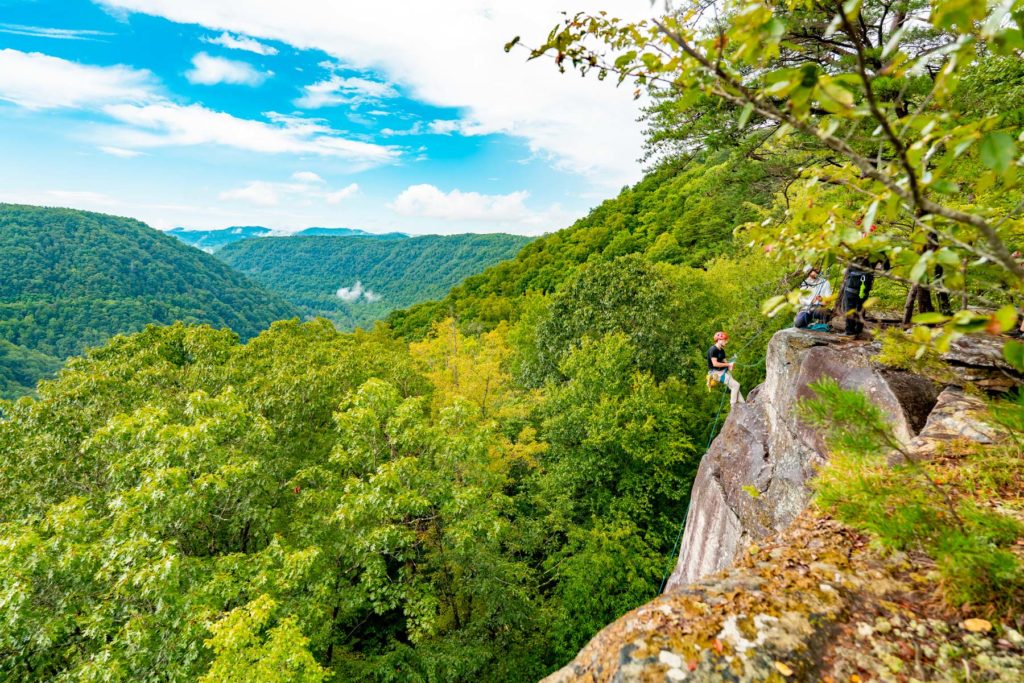
West Virginia is almost entirely forested, and when the sugar maples, oaks, and tulip poplars turn, the entire state becomes a continuous canopy of orange, gold, burgundy, and bronze.
- Sugar Maple
- Red Maple
- Red Oak
- Tulip Poplar
- American Beech
The Highland Scenic Highway (Route 150) in the Monongahela National Forest runs above 4,000 feet through one of the wildest and most beautiful fall landscapes east of the Mississippi.
Worth the drive
Pocahontas County in the heart of the Monongahela National Forest is one of the wildest places east of the Mississippi. The Cranberry Wilderness, the Highland Scenic Highway, and the headwaters of eight major rivers all lie within the county. Fall color here is unhurried and uncrowded, peaking in mid-October with a vast canopy of hardwoods that extends unbroken to the horizon in every direction.
Every county, by peak week
Elevation does most of the work here. Color runs down a mountain at roughly a day and a half per 100 meters, so a ridge and the valley below it can be two weeks apart in the same county.
Barbour, Brooke, Grant, Greenbrier, Hancock, Hardy, Ohio, Pendleton, Pocahontas, Preston, Randolph, Tucker, Upshur, Webster
Berkeley, Boone, Braxton, Cabell, Calhoun, Clay, Doddridge, Fayette, Gilmer, Hampshire, Harrison, Jackson, Jefferson, Kanawha, Lewis, Lincoln, Logan, Marion, Marshall, Mason, McDowell, Mercer, Mineral, Mingo, Monongalia, Monroe, Morgan, Nicholas, Pleasants, Putnam, Raleigh, Ritchie, Roane, Summers, Taylor, Tyler, Wayne, Wetzel, Wirt, Wood, Wyoming
Every date on this site is a forecast: a model corrected by ground reports, carrying a measured error, published in full. Check conditions with the land manager before you travel. Last reviewed September 2026. Open the live map