
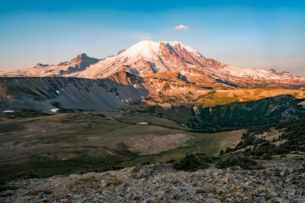
Higher ground turns first, so the slopes above the road lead the valley by a few days.
Weather Wind to 51 mph Friday. Color may come down before it turns.
Weather Hard frost Saturday night. Peak may come early and go fast.
No new reports from the ground here this week.
- 8,000–10,000 ftLeaves downpeak Aug 255%
- 6,000–8,000 ftJust past peakpeak Sep 1611%
- 4,000–6,000 ftNearly peakpeak Sep 2748%
- 2,000–4,000 ftStarting to turnpeak Oct 1037%
Height off 3DEP inside the park’s own boundary; each band carries the date our model gives that elevation, corrections and all. The percentage is how much of the park stands in it.
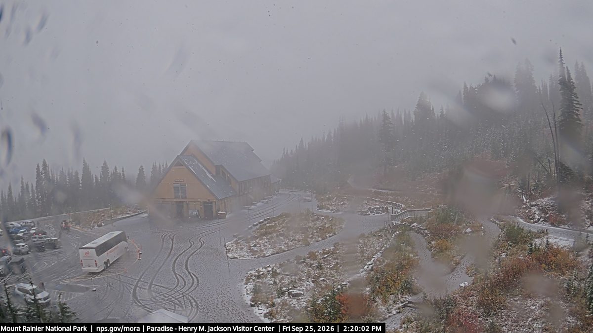
That’s 1 day earlier than our model alone would say. This September has been running cool, which shifts peak color.
The place
Rainier is a 14,411-foot stratovolcano carrying 26 named glaciers, the most glaciated peak in the Lower 48. On a clear day it dominates the Seattle skyline from 60 miles away. The fifth national park, established in 1899, and still the one that makes you pull over on I-5.
Established 1899. About 2.3 million/year visitors.
If you can only come on certain days
Set the days you can be here. Everything under them answers for those days, not for peak.
Sunday 4 October to Monday 5 October
You’ll find it fading up high, nearly peak lower down.
Up at 6,000 feet the stands peak around Sep 16; down at 4,000 feet they hold on until about Oct 10. Pick your elevation for the day you come.
- 6,000–8,000 ftFadingpeak Sep 16
- 4,000–6,000 ftJust past peakpeak Sep 27
- 2,000–4,000 ftNearly peakpeak Oct 10
- Where to drive
- Mountain Loop Highway, about 82 miles · Historic Columbia River Highway, about 90 miles
- What turns
- bigleaf maple, black cottonwood, red alder, vine maple, willow
- Entrance
- $30
What turns, and when
- bigleaf maple25%
- black cottonwood24%
- red alder17%
- vine maple16%
- willow14%
- red-osier dogwood4%
Also named across Washington, outside what the canopy read measures here: Western Larch.
Vine maples turn scarlet in the Cascade understory, bigleaf maples go gold in the lowlands, and the western larches in the Okanogan and Wenatchee forests turn amber on the high slopes.
This forecast is built from the species that stand here, their elevation and this September’s weather, and corrected in season by cameras, foresters and our own crew. Out here we score it against NASA's satellite record of when the canopy shuts down, read inside each unit’s own boundary: two dates in three land within 12 days of it. How this map is made