
Established
1899
Size
236,382 acres
Visitors / yr
2.3M
Entrance
$30
Best season
July through September
Nearest airport
SEA Seattle-Tacoma International
01
Why Mount Rainier is worth the trip
Washington · Established 1899
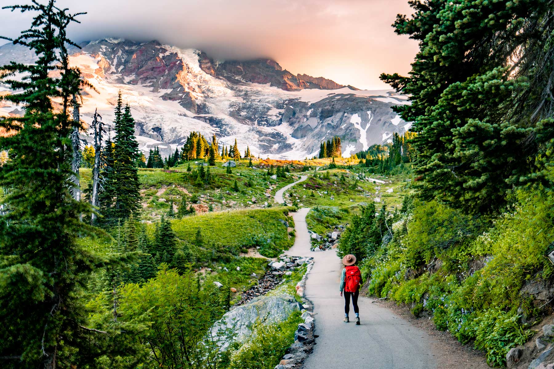
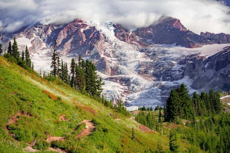
Rainier is less a mountain than a presence. The 14,411-foot volcano carries 26 named glaciers, more ice than any other peak in the contiguous United States, and it looms over the Puget Sound region like a moon that landed. Up close the scale recalibrates. What reads as a snowfield from the road turns out to be a glacier seamed with crevasses.
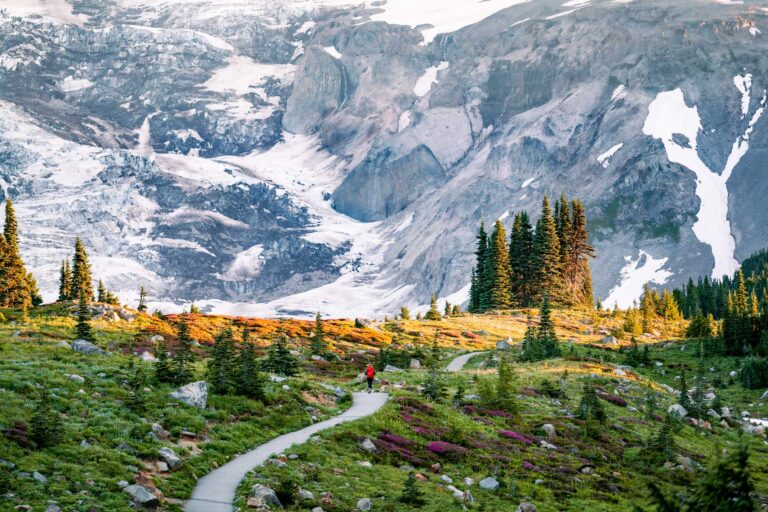
The meadows set your calendar. For a few midsummer weeks, Paradise and Sunrise erupt with lupine, paintbrush, and avalanche lilies, entire hillsides of wildflowers running up against hanging ice. Walk the Skyline Trail out of Paradise for the classic dose. And check the forecast before you commit. The mountain makes its own weather and can hide for days, but when it is out, the whole state knows it.
Start with our full Mount Rainier guide, then use the planning below.
02
Top things to do in Mount Rainier
Where we would start, and what we would plan a day around. Read the full guide.
Start here
20 Things to Do at Mount Rainier National Park
Read the guide
01
 Hiking · nps.gov
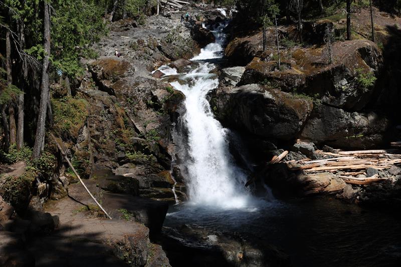
Hike to Silver Falls
Enjoy a moderate, family-friendly loop hike through the forest to a beautiful waterfall along the Ohanapecosh River.
02
Hiking · nps.gov
Hike to Silver Falls
Enjoy a moderate, family-friendly loop hike through the forest to a beautiful waterfall along the Ohanapecosh River.
02
 Hiking · nps.gov
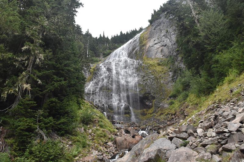
Hike to Spray Falls
Enjoy a short hike from Mowich Lake to a large cascading waterfall fed by a glacier.
03
Hiking · nps.gov
Hike to Spray Falls
Enjoy a short hike from Mowich Lake to a large cascading waterfall fed by a glacier.
03
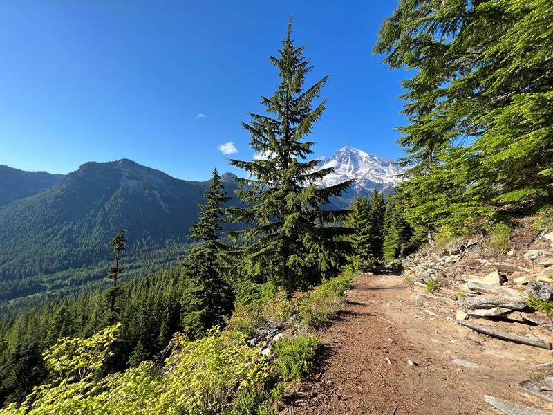 Hiking · nps.gov
Hike Rampart Ridge
This loop trail explores the forest around Longmire, with glimpses of Mount Rainier and the Nisqually River Valley.
04
Hiking · nps.gov
Hike Rampart Ridge
This loop trail explores the forest around Longmire, with glimpses of Mount Rainier and the Nisqually River Valley.
04
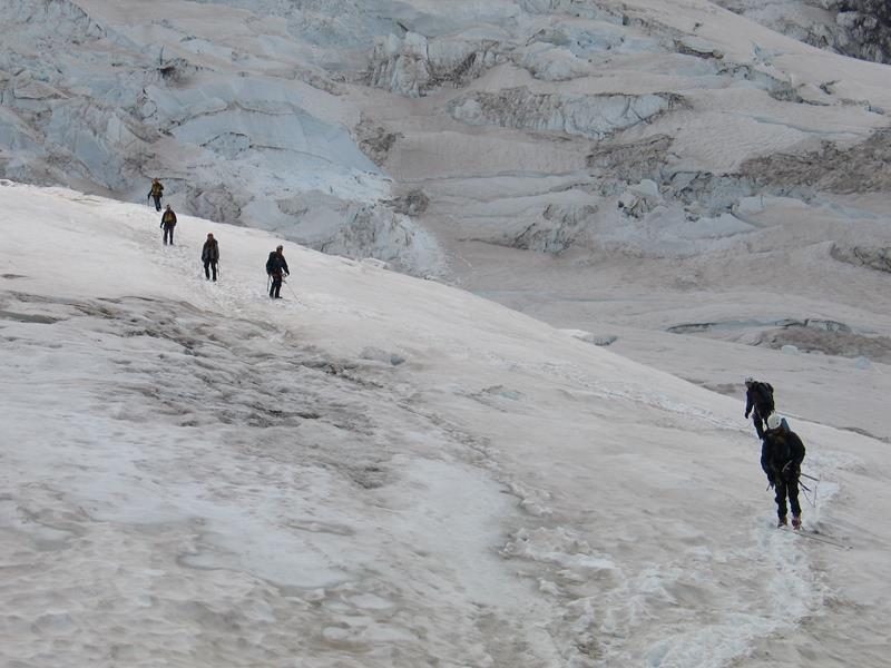 Mountain Climbing · nps.gov
Climbing Mount Rainier
Mount Rainier, the most heavily glaciated peak in the contiguous United States, offers an exciting challenge to the mountaineer. Climbers must be in excellent...
Mountain Climbing · nps.gov
Climbing Mount Rainier
Mount Rainier, the most heavily glaciated peak in the contiguous United States, offers an exciting challenge to the mountaineer. Climbers must be in excellent...
Hiking · nps.gov
Hike to Silver Falls
Enjoy a moderate, family-friendly loop hike through the forest to a beautiful waterfall along the Ohanapecosh River.
02
Hiking · nps.gov
Hike to Spray Falls
Enjoy a short hike from Mowich Lake to a large cascading waterfall fed by a glacier.
03
Hiking · nps.gov
Hike Rampart Ridge
This loop trail explores the forest around Longmire, with glimpses of Mount Rainier and the Nisqually River Valley.
04
Mountain Climbing · nps.gov
Climbing Mount Rainier
Mount Rainier, the most heavily glaciated peak in the contiguous United States, offers an exciting challenge to the mountaineer. Climbers must be in excellent...
03
Best hikes in Mount Rainier
The trails that define the park, with the distance and elevation numbers that decide your day.
1
The Skyline Trail
The hike to do if you can only do one.
2
Pinnacle Peak Trail
Wide panoramic views of Rainier and wildflowers all summer.
3
Mount Fremont Lookout
A fire lookout and our personal favorite trail in the park.
4
Tolmie Peak Trail
Views said to be among the best in the park.
5
Sourdough Ridge Trail
Ridge views good enough to end up as TV screensavers.
Before you go
Get the Mount Rainier heads-up
Permit windows, closures and seasonal alerts, plus our best Mount Rainier guides, in your inbox before you go. Free, no spam.
04
Plan your trip
Our guides for the big decisions, plus the gear, maps and lodging we would actually use for Mount Rainier.
Where to stay
Gateway towns with lodging, food and outfitters.
Maps & guides
Carry paper. Cell service dies fast inside most parks.
Mount Rainier Trails Illustrated map
Waterproof National Geographic topo of the park.
View on Amazon
America the Beautiful pass
$80 a year. Covers entrance fees at more than 2,000 federal recreation sites.
Get the pass
What to bring
Field-tested picks we bring on park trips.
-
Trekking PolesSave your knees on steep descents and river crossings. View on REI
-
Rain JacketMountain weather turns fast. Pack a shell even on clear mornings. View on REI
-
Fleece JacketMid-layer warmth for alpine mornings and evening campfires. View on REI
-
Hiking BootsAnkle support and grip for rocky, uneven terrain. View on REI
Getting there
- SEA Seattle-Tacoma International 90 mi
Some links in this section are affiliate links. If you book or buy through them we earn a small commission at no extra cost to you. We only recommend what we would use ourselves.
Mount Rainier map
VC Visitor Center
CG Campground
Nearby Park
05
When to go
Loading weather...
Month-by-Month Conditions
Tap any month for details
Month
High
Low
Crowds
Roads
Jan
34°
24°
Low
Partial
Feb
34°
23°
Low
Partial
Mar
36°
24°
Low
Partial
Apr
40°
26°
Low
Partial
May
48°
33°
Light
Partial
Jun
54°
37°
Peak
Open
Jul Best
62°
44°
Peak
Open
Aug Best
64°
45°
Peak
Open
Sep Best
57°
41°
Peak
Open
Oct
46°
33°
Moderate
Partial
Nov
37°
26°
Low
Partial
Dec
33°
22°
Low
Partial
Best months to visit
Crowd level (low to peak)
06
More Mount Rainier guides


07
Parks near Mount Rainier
Within reach if you are building a longer trip.
Worth protecting
Mount Rainier belongs to all of us
Protections that took generations to win can be rolled back in a single session of Congress. We keep watch so they hold.
Stay in the Loop
Free dispatches on the parks and the policy fights around them, almost every day. Threats tracked, wins celebrated, no fluff.
Threatened Lands Map
Follow what's happening on federal lands across the country with our interactive map.
View the Tracker