
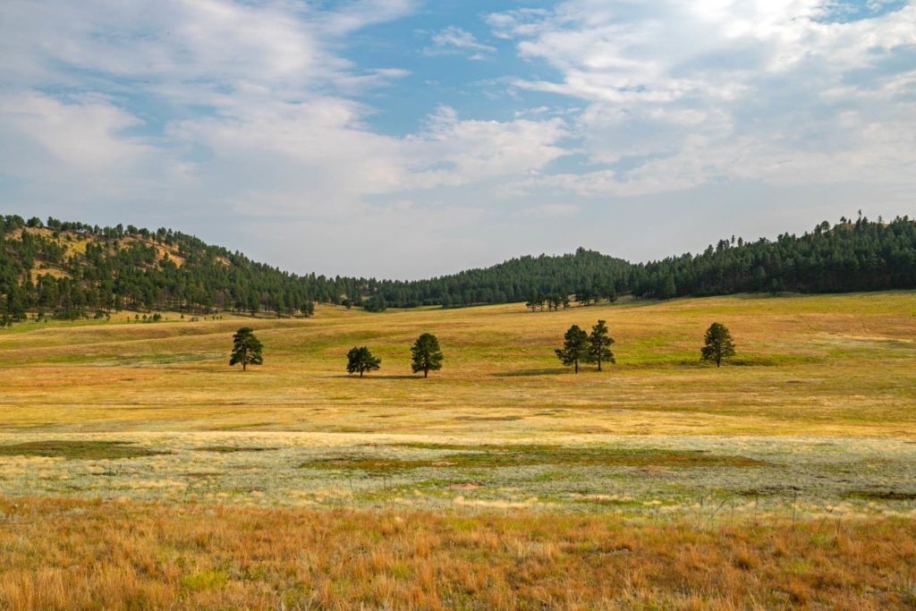
Higher ground turns first, so the slopes above the road lead the valley by a few days.
1 report came in from Custer County this week, 1 of them still green. Our date held. See the county on the map.
- 4,500–4,750 ftStarting to turnpeak Oct 1613%
- 4,250–4,500 ftStill greenpeak Oct 1820%
- 4,000–4,250 ftStill greenpeak Oct 1933%
- 3,750–4,000 ftStill greenpeak Oct 2126%
- 3,500–3,750 ftStill greenpeak Oct 228%
Height off 3DEP inside the park’s own boundary; each band carries the date our model gives that elevation, corrections and all. The percentage is how much of the park stands in it.
That’s 3 days later than our model alone would say. This September has been running warm, which shifts peak color.
The place
Wind Cave was the seventh national park and the first created specifically to protect a cave. Below the surface, over 150 miles of surveyed passages contain boxwork, a honeycomb calcite formation found almost nowhere else on earth. Above ground, one of the last intact mixed-grass prairies in the country rolls out to the horizon with bison, elk, and prairie dogs doing exactly what they were doing 500 years ago.
Established 1903. About 489,000/year visitors.
If you can only come on certain days
Set the days you can be here. Everything under them answers for those days, not for peak.
Wednesday 21 October to Thursday 22 October
You’ll find it just past peak up high, peak color lower down.
Up at 4,500 feet the stands peak around Oct 16; down at 4,000 feet they hold on until about Oct 21. Pick your elevation for the day you come.
- 4,500–4,750 ftJust past peakpeak Oct 16
- 4,250–4,500 ftJust past peakpeak Oct 18
- 4,000–4,250 ftJust past peakpeak Oct 19
- 3,750–4,000 ftPeak colorpeak Oct 21
- What turns
- bur oak, green ash, quaking aspen, hackberry, plains cottonwood
- Entrance
- No entrance fee
What turns, and when
- bur oak37%
- green ash21%
- quaking aspen20%
- hackberry19%
- plains cottonwood3%
Every one of these turns yellow or gold here. The shades only tell the species apart.
Also named across South Dakota, outside what the canopy read measures here: Paper Birch.
The Black Hills produce a colorful mix of aspen gold and birch yellow against the dark green of ponderosa pine, while Spearfish Canyon stages the most dramatic display.
This forecast is built from the species that stand here, their elevation and this September’s weather, and corrected in season by cameras, foresters and our own crew. Out here we score it against NASA's satellite record of when the canopy shuts down, read inside each unit’s own boundary: two dates in three land within 12 days of it. How this map is made