
Peak color lands around Oct 10 in most of South Dakota, but it moves 30 days across the state. Here’s where, and when, and how sure we are.
South Dakota’s season, place by place
Every place we forecast in South Dakota, each set on the calendar at its peak and painted by how far along it is today, Sep 25.
First: Custer National Forest, Sep 26. Last: Wind Cave National Park, Oct 22.
The dashed rule is today; the solid one is the median of the places on this chart, Oct 11. The date at the top of the page is the median county, which includes the low ground between them.
The county map today
Where to go in South Dakota
The destinations we cover in South Dakota, in the order their color arrives. Each carries its own forecast and its own band, because a state isn’t one place.
- PeakPeak 26 Sep best 25 to 28 Sep
- Near peakPeak 3 Oct best 2 to 5 Oct
- Waubay National Wildlife RefugeToo earlyPeak 6 Oct best 5 to 8 Oct
- Sand Lake National Wildlife RefugeToo earlyPeak 7 Oct best 6 to 9 Oct
- Lacreek National Wildlife RefugeToo earlyPeak 9 Oct best 8 to 11 Oct
- Fort Pierre National GrasslandToo earlyPeak 10 Oct best 9 to 12 Oct
- Grand River National GrasslandToo earlyPeak 11 Oct best 10 to 13 Oct
- Black Elk WildernessToo earlyPeak 11 Oct best 10 to 13 Oct
- Beadle County Waterfowl Production AreaToo earlyPeak 11 Oct best 10 to 13 Oct
- Jewel Cave National MonumentToo earlyPeak 13 Oct best 12 to 15 Oct
- Lake Andes National Wildlife RefugeToo earlyPeak 13 Oct best 12 to 15 Oct
- Too earlyPeak 14 Oct best 13 to 16 Oct
- Karl E. Mundt National Wildlife RefugeToo earlyPeak 14 Oct best 13 to 16 Oct
- Mount Rushmore National MemorialToo earlyPeak 16 Oct best 15 to 18 Oct
- Buffalo Gap National GrasslandToo earlyPeak 18 Oct best 17 to 20 Oct
- Too earlyPeak 22 Oct best 21 to 24 Oct
When to go
Across 66 counties, peak color is forecast to arrive first in Lawrence County around Sep 26 and last in Fall River County around Oct 26. Most of the state peaks near Oct 10.
Each date is the middle of the four days we’d aim a trip at, and each place page names them. We publish what the model got wrong, region by region.
This autumn is running 3 days late in South Dakota. September has run warmer than the 1991 to 2020 normal so far, and the dates above already include that. It’s a real signal but a modest one: temperature explains under a tenth of how much peak color moves year to year.
1 of 66 counties here are corrected by people who have actually looked at the trees this season. 1 report from official state sources have moved those dates off the model and narrowed their windows. Counties with neither keep the model forecast and say so. Which is which is marked in the table below.
Late September to mid-October in the Black Hills, mid-October in the Missouri River valley is how South Dakota is usually described.
What actually turns
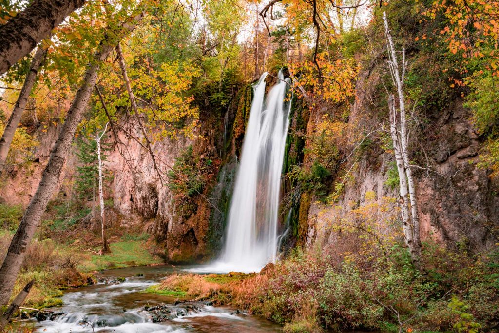
The Black Hills produce a colorful mix of aspen gold and birch yellow against the dark green of ponderosa pine, while Spearfish Canyon stages the most dramatic display.
- Quaking Aspen
- Bur Oak
- Cottonwood
- Paper Birch
- Green Ash
Spearfish Canyon Scenic Byway (Route 14A) is one of the most underrated fall drives in America, with limestone walls framed by birch, aspen, and oak color.
Every county, by peak week
Elevation does most of the work here. Color runs down a mountain at roughly a day per 100 meters, so a ridge and the valley below it can be a week or two apart in the same county.
Lawrence observed
Campbell, Corson, Day, Marshall, McPherson, Roberts, Walworth
Aurora, Beadle, Bennett, Brookings, Brown, Brule, Buffalo, Charles Mix, Clark, Codington, Davison, Deuel, Dewey, Douglas, Edmunds, Faulk, Grant, Gregory, Haakon, Hamlin, Hand, Hanson, Hughes, Hutchinson, Hyde, Jackson, Jerauld, Jones, Kingsbury, Lake, Lincoln, Lyman, McCook, Mellette, Miner, Minnehaha, Moody, Potter, Sanborn, Spink, Stanley, Sully, Todd, Tripp, Turner, Ziebach
Bon Homme, Clay, Custer, Harding, Meade, Oglala Lakota, Pennington, Perkins, Union, Yankton
Butte, Fall River
Every date on this site is a forecast: a model corrected by ground reports, carrying a measured error, published in full. Check conditions with the land manager before you travel. Last reviewed September 2026. Open the live map