
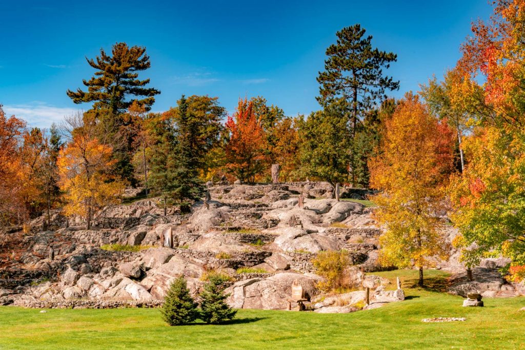
Peak color lands around Oct 8 in most of Minnesota, but it moves 19 days across the state. Here’s where, and when, and how sure we are.
Minnesota’s season, place by place
Every place we forecast in Minnesota, each set on the calendar at its peak and painted by how far along it is today, Sep 25.
First: Boundary Waters Canoe Area Wilderness, Sep 29. Last: Upper Mississippi River National Wildlife and Fish Refuge, Oct 15.
The dashed rule is today; the solid one is the median of the places on this chart, Oct 4. The date at the top of the page is the median county, which includes the low ground between them.
The county map today
Where to go in Minnesota
The destinations we cover in Minnesota, in the order their color arrives. Each carries its own forecast and its own band, because a state isn’t one place.
- Boundary Waters Canoe Area WildernessPeakPeak 29 Sep best 28 Sep to 1 Oct
- PeakPeak 29 Sep best 28 Sep to 1 Oct
- PeakPeak 30 Sep best 29 Sep to 2 Oct
- Agassiz National Wildlife RefugePeakPeak 1 Oct best 30 Sep to 3 Oct
- Agassiz WildernessPeakPeak 1 Oct best 30 Sep to 3 Oct
- Near peakPeak 2 Oct best 1 to 4 Oct
- Rydell National Wildlife RefugeNear peakPeak 2 Oct, northern red oak 11 Oct best 1 to 4 Oct
- Tamarac National Wildlife RefugeNear peakPeak 3 Oct best 2 to 5 Oct
- Glacial Ridge National Wildlife RefugeNear peakPeak 3 Oct, northern red oak 11 Oct best 2 to 5 Oct
- Tamarac WildernessNear peakPeak 3 Oct best 2 to 5 Oct
- Rice Lake National Wildlife RefugeNear peakPeak 4 Oct best 3 to 6 Oct
- Hamden Slough National Wildlife RefugeNear peakPeak 4 Oct best 3 to 6 Oct
- Grand Portage National MonumentToo earlyPeak 5 Oct best 4 to 7 Oct
- Otter Tail County Waterfowl Production AreaToo earlyPeak 5 Oct best 4 to 7 Oct
- Too earlyPeak 6 Oct best 5 to 8 Oct
- Crane Meadows National Wildlife RefugeToo earlyPeak 7 Oct best 6 to 9 Oct
- Sherburne National Wildlife RefugeToo earlyPeak 8 Oct best 7 to 10 Oct
- Too earlyPeak 8 Oct best 7 to 10 Oct
- Big Stone National Wildlife RefugeToo earlyPeak 9 Oct best 8 to 11 Oct
- Northern Tallgrass Prairie National Wildlife RefugeToo earlyPeak 9 Oct best 8 to 11 Oct
- Pipestone National MonumentToo earlyPeak 9 Oct best 8 to 11 Oct
- Minnesota Valley National Wildlife RefugeToo earlyPeak 11 Oct best 10 to 13 Oct
- Upper Mississippi River National Wildlife and Fish RefugeToo earlyPeak 15 Oct best 14 to 17 Oct
When to go
Across 87 counties, peak color is forecast to arrive first in St. Louis County around Sep 24 and last in Faribault County around Oct 13. Most of the state peaks near Oct 8.
Each date is the middle of the four days we’d aim a trip at, and each place page names them. We score the model against 13 long-running forest monitoring sites in this part of the country and publish what it got wrong.
This autumn is running 2 days late in Minnesota. September has run warmer than the 1991 to 2020 normal so far, and the dates above already include that. It’s a real signal but a modest one: temperature explains under a tenth of how much peak color moves year to year.
4 of 87 counties here are corrected by people who have actually looked at the trees this season. 88 reports from official state sources have moved those dates off the model and narrowed their windows. Counties with neither keep the model forecast and say so. Which is which is marked in the table below.
Late September inland in the Arrowhead, early October along the North Shore, early-to-mid October in the metro, late October for tamaracks is how Minnesota is usually described.
What actually turns
The Boundary Waters and North Shore produce a mosaic of aspen gold, birch yellow, and maple scarlet against the dark boreal backdrop of spruce and fir.
- Sugar Maple
- Red Maple
- Quaking Aspen
- Paper Birch
- Tamarack
The Gunflint Trail from Grand Marais into the Boundary Waters is Minnesota's premier fall drive, and Superior National Forest's mix of birch, aspen, and maple is world-class.
Worth the drive
Lake County on Minnesota's North Shore of Lake Superior is the gateway to the Boundary Waters and one of the most spectacular fall destinations in the Midwest. The Sawtooth Mountains rise directly from the lake, and the mix of birch, aspen, and maple on the slopes above Superior produces vivid color from late September through mid-October. The Gunflint Trail begins in Grand Marais and climbs into the BWCA.
Cook County at the tip of Minnesota's Arrowhead is the wildest county on the North Shore, containing the eastern end of the Boundary Waters and the most remote stretches of the Superior Hiking Trail. Up the Gunflint Trail the color peaks early, often by the last week of September, while the lake holds the shore into October, and the combination of boreal forest, lake-studded wilderness, and ridgeline views is extraordinary.
Every county, by peak week
Latitude does most of the work here: color moves south at about two days per degree, so the north of the state turns a week or more ahead of the south.
Koochiching, Lake of the Woods, St. Louis observed
Aitkin, Becker, Beltrami, Carlton, Cass, Clay regional, Clearwater, Cook, Crow Wing, Douglas, Hubbard, Itasca corrected, Kittson, Lake regional, Mahnomen, Marshall, Mille Lacs, Morrison, Norman, Otter Tail, Pennington, Pine, Polk, Red Lake, Roseau, Scott corrected, Todd, Wadena, Wilkin regional
Anoka regional, Benton, Big Stone, Blue Earth, Brown, Carver regional, Chippewa, Chisago, Cottonwood, Dakota regional, Dodge, Faribault, Fillmore, Freeborn, Goodhue, Grant, Hennepin regional, Houston, Isanti, Jackson, Kanabec, Kandiyohi, Lac qui Parle, Le Sueur regional, Lincoln, Lyon, Martin, McLeod regional, Meeker, Mower, Murray, Nicollet regional, Nobles, Olmsted, Pipestone, Pope, Ramsey corrected, Redwood, Renville, Rice regional, Rock, Sherburne, Sibley regional, Stearns, Steele, Stevens, Swift, Traverse, Wabasha, Waseca regional, Washington regional, Watonwan, Winona, Wright regional, Yellow Medicine
Every date on this site is a forecast: a model corrected by ground reports, carrying a measured error, published in full. Check conditions with the land manager before you travel. Last reviewed September 2026. Open the live map