
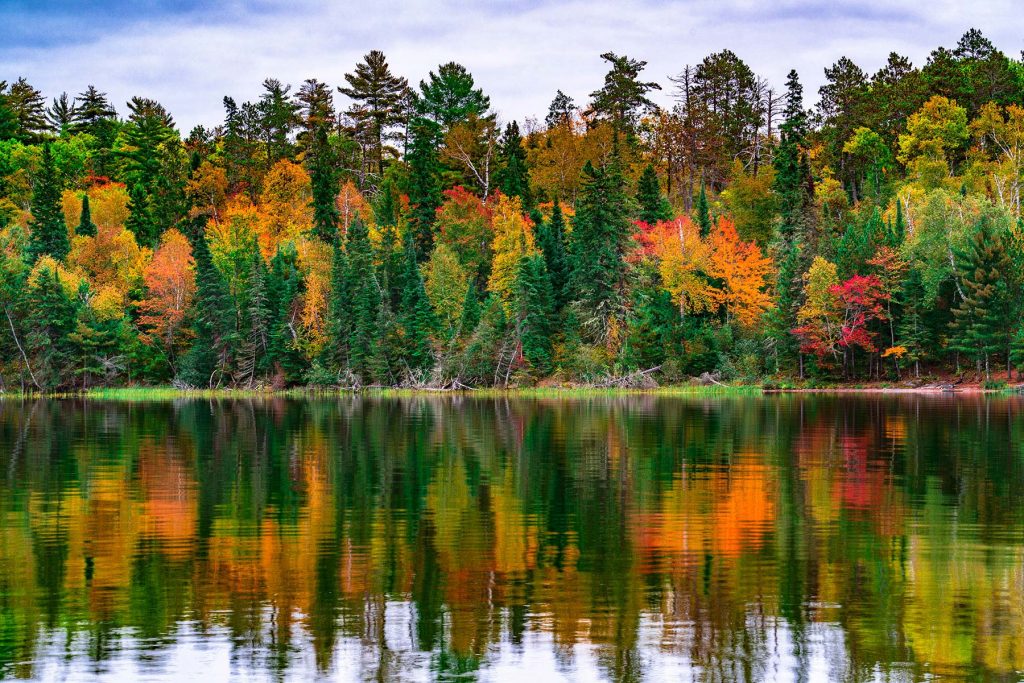
Higher ground turns first, so the slopes above the road lead the valley by a few days.
80 reports came in from St. Louis County this week, 26 of them still green and 21 of them patchy color. They moved our date 3 days later. See the county on the map.
That’s 2 days later than our model alone would say. This September has been running warm, which shifts peak color.
The place
Forty percent of this park is water. Four big lakes connected by narrows and bays, accessible only by boat, stretching along the Minnesota-Canada border into a landscape the French-Canadian fur traders would still recognize. Voyageurs is the park system's best argument for learning to paddle. No roads reach the interior. You go by canoe or you do not go.
Established 1975. About 199,000/year visitors.
If you can only come on certain days
Set the days you can be here. Everything under them answers for those days, not for peak.
Monday 28 September to Tuesday 29 September
You’ll find it peak color.
That's the day our forecast puts peak color here.
- Where to drive
- Gunflint Trail (County Road 12), about 122 miles
- What turns
- paper birch, quaking aspen, sugar maple, red maple
- Entrance
- No entrance fee
What turns, and when
- paper birch38%
- quaking aspen37%
- sugar maple21%
- red maple5%
Also named across Minnesota, outside what the canopy read measures here: Tamarack.
The Boundary Waters and North Shore produce a mosaic of aspen gold, birch yellow, and maple scarlet against the dark boreal backdrop of spruce and fir.
Across Minnesota as a whole: Late September inland in the Arrowhead, early October along the North Shore, early-to-mid October in the metro, late October for tamaracks.
This forecast is built from the species that stand here, their elevation and this September’s weather, and corrected in season by cameras, foresters and our own crew. We score it here against 13 long-running forest cameras: two dates in three land within 9 days of the camera’s own peak. How this map is made