
Established
1975
Size
218,200 acres
Visitors / yr
199K
Entrance
Free
Best season
June through September (ice fishing December through March)
Nearest airport
INL Falls International
01
Why Voyageurs is worth the trip
Minnesota · Established 1975
Voyageurs is a park you float through. Roughly 40 percent of it is water, four big lakes chained along the Minnesota-Canada border, and the campsites, beaches, and views are reachable only by boat. It is named for the French-Canadian canoe men who paddled these routes during the fur trade, and their highway is still the park map.
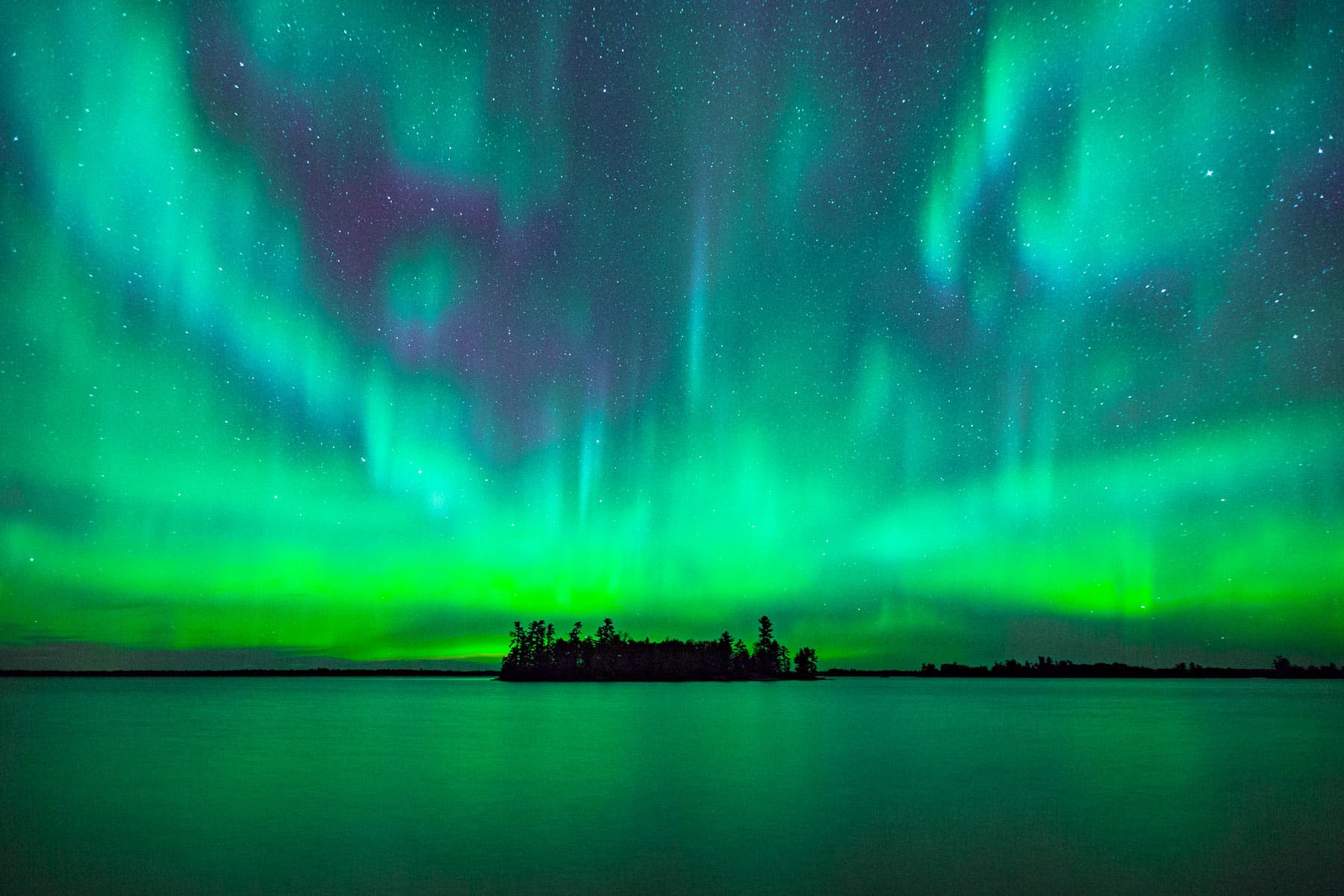
The signature move is renting a houseboat and disappearing for a few days, mooring at island sites with loons for neighbors. Cast for walleye, paddle between rock islands, and stay up late. This is a certified dark sky park at aurora latitude, and on the right night the northern lights double themselves in the lake. Winter flips the map to ice roads and snowmobile trails. Either way, the water is in charge here. Plan around it.
Start with our full Voyageurs guide, then use the planning below.
02
Top things to do in Voyageurs
Where we would start, and what we would plan a day around. Read the full guide.

Start here
10 Things to Do in Voyageurs National Park (2026 Guide)
Read the guide
01
 Backcountry Hiking · nps.gov
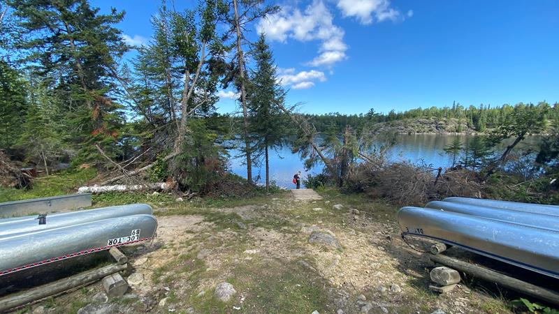
Hike the Locator Lake Trail
Please note: The Cranberry Creek Portage Trail into Locator Lake from Rainy Lake has been permanently closed. Explore this two-mile, one-way hike as an afternoon...
02
Backcountry Hiking · nps.gov
Hike the Locator Lake Trail
Please note: The Cranberry Creek Portage Trail into Locator Lake from Rainy Lake has been permanently closed. Explore this two-mile, one-way hike as an afternoon...
02
 Backcountry Hiking · nps.gov
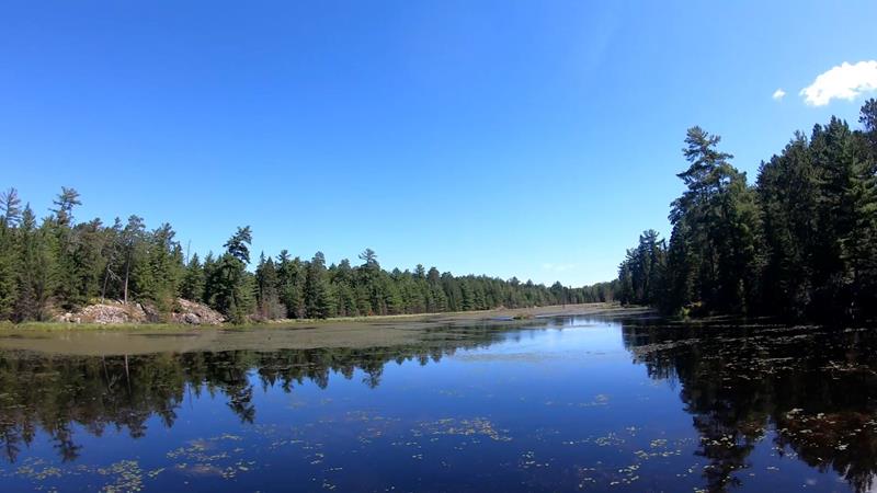
Hike Black Bay Beaver Pond Trail
Take a boat one mile from the visitor center and hike this trail through northern pine country to a scenic, active beaver pond.
03
Backcountry Hiking · nps.gov
Hike Black Bay Beaver Pond Trail
Take a boat one mile from the visitor center and hike this trail through northern pine country to a scenic, active beaver pond.
03
 Backcountry Hiking · nps.gov
Hike Kab-Ash Trail
Please note: The Salmi Road entrance to the Kab-Ash Trail in the Kabetogama community is closed (click to see map). This multi-day trail connects...
04
Backcountry Hiking · nps.gov
Hike Kab-Ash Trail
Please note: The Salmi Road entrance to the Kab-Ash Trail in the Kabetogama community is closed (click to see map). This multi-day trail connects...
04
 Hiking · nps.gov
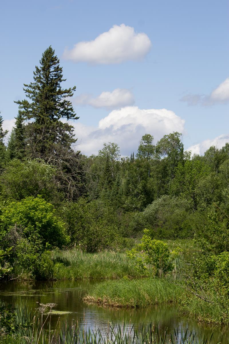
Hike the Oberholtzer Trail
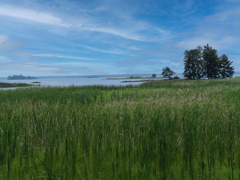
Wander through deciduous and conifer forest as the trail twists around the edge of a cattail filled wetland and past rocks deposited by ancient...
Hiking · nps.gov
Hike the Oberholtzer Trail
Wander through deciduous and conifer forest as the trail twists around the edge of a cattail filled wetland and past rocks deposited by ancient...
Backcountry Hiking · nps.gov
Hike the Locator Lake Trail
Please note: The Cranberry Creek Portage Trail into Locator Lake from Rainy Lake has been permanently closed. Explore this two-mile, one-way hike as an afternoon...
02
Backcountry Hiking · nps.gov
Hike Black Bay Beaver Pond Trail
Take a boat one mile from the visitor center and hike this trail through northern pine country to a scenic, active beaver pond.
03
Backcountry Hiking · nps.gov
Hike Kab-Ash Trail
Please note: The Salmi Road entrance to the Kab-Ash Trail in the Kabetogama community is closed (click to see map). This multi-day trail connects...
04
Hiking · nps.gov
Hike the Oberholtzer Trail
Wander through deciduous and conifer forest as the trail twists around the edge of a cattail filled wetland and past rocks deposited by ancient...
Before you go
Get the Voyageurs heads-up
Permit windows, closures and seasonal alerts, plus our best Voyageurs guides, in your inbox before you go. Free, no spam.
03
Plan your trip
Our guides for the big decisions, plus the gear, maps and lodging we would actually use for Voyageurs.
Where to stay
Gateway towns with lodging, food and outfitters.
- International Falls, MNGateway town
- Kabetogama, MNGateway town
- Crane Lake, MNGateway town
Maps & guides
Carry paper. Cell service dies fast inside most parks.
America the Beautiful pass
$80 a year. Covers entrance fees at more than 2,000 federal recreation sites.
Get the pass
What to bring
Field-tested picks we bring on park trips.
-
Trail ShoesLightweight with good traction for maintained trails. View on REI
-
Rain JacketMountain weather turns fast. Pack a shell even on clear mornings. View on REI
-
Merino Hiking SocksPrevent blisters and keep your feet comfortable for miles. View on REI
-
Day Hiking PackA 22-30L pack fits water, layers, snacks, and a first aid kit. View on REI
Getting there
- INL Falls International 15 mi
- DLH Duluth International 200 mi
- MSP Minneapolis-St. Paul International 300 mi
Some links in this section are affiliate links. If you book or buy through them we earn a small commission at no extra cost to you. We only recommend what we would use ourselves.
Voyageurs map
VC Visitor Center
CG Campground
Nearby Park
04
Read our seasonal guide
When to go
Loading weather...
Month-by-Month Conditions
Tap any month for details
Month
High
Low
Crowds
Roads
Jan
16°
-8°
Low
Open
Feb
21°
-5°
Low
Open
Mar
35°
10°
Low
Open
Apr
49°
23°
Low
Open
May
64°
37°
Peak
Open
Jun Best
73°
48°
Peak
Open
Jul Best
78°
52°
Peak
Open
Aug Best
76°
49°
Peak
Open
Sep Best
66°
42°
Heavy
Open
Oct
51°
31°
Light
Open
Nov
34°
17°
Low
Open
Dec
21°
2°
Low
Open
Best months to visit
Crowd level (low to peak)

Watch our film
Voyageurs National Park 8K
A park you reach almost entirely by boat, up on the Canadian border. We went in fall for the color, but the real prize is after dark. Voyageurs is one of the best places on the planet to catch the northern lights, and we got them.
Browse all our national park films
06
Parks near Voyageurs
Within reach if you are building a longer trip.
Worth protecting
Voyageurs belongs to all of us
Protections that took generations to win can be rolled back in a single session of Congress. We keep watch so they hold.
Stay in the Loop
Free dispatches on the parks and the policy fights around them, almost every day. Threats tracked, wins celebrated, no fluff.
Threatened Lands Map
Follow what's happening on federal lands across the country with our interactive map.
View the Tracker