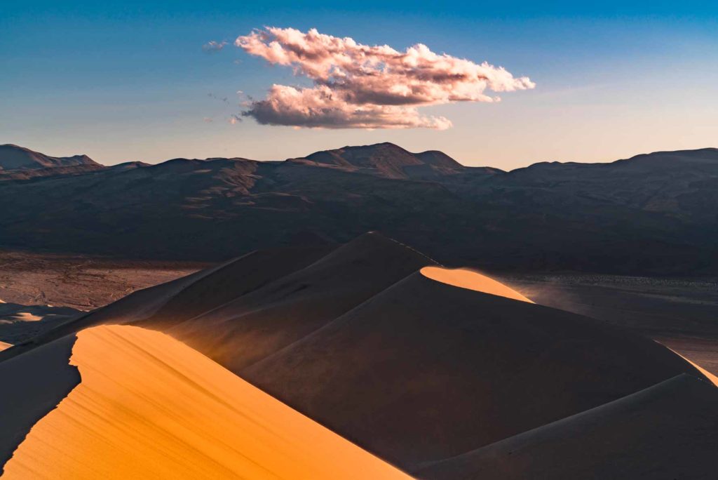
We don’t forecast fall color here. Mojave and Great Basin desert. No deciduous canopy. Our model reads latitude and elevation and will happily produce a date for anywhere; publishing one here would be a category error rather than an uncertain forecast, so we don’t.
Still greenStartingNearly peakPeakPast peakNo fall canopy we forecast
Around Death Valley National Park The park is outlined. The counties around it are painted by how far along their color is today, Sep 25.
That’s 1 day later than our model alone would say. This September has been running warm, which shifts peak color.
The place
The largest national park in the Lower 48 at 3.4 million acres, and the hottest place on Earth. Badwater Basin sits 282 feet below sea level, the lowest point in North America. In 1913, the thermometer hit 134 degrees Fahrenheit here. The land looks dead until you show up in February after a wet winter and the whole desert floor blooms.
Established 1994. About 1.1 million/year visitors.
Also named across California, outside what the canopy read measures here: Quaking Aspen, Black Oak, Bigleaf Maple, White Alder.
Eastern Sierra aspens turn brilliant gold against granite walls, black oaks in Yosemite Valley go bronze and russet, and cottonwoods line the desert creeks in pale yellow.
Across California as a whole: Late September to mid-October in the Sierra, late October to mid-November in Yosemite Valley.
This forecast is built from the species that stand here, their elevation and this September’s weather, and corrected in season by cameras, foresters and our own crew. Out here we score it against NASA's satellite record of when the canopy shuts down, read inside each unit’s own boundary: two dates in three land within 12 days of it. How this map is made