
Established
1994
Size
3,408,407 acres
Visitors / yr
1.1M
Entrance
$30
Best season
November through March
Nearest airport
LAS Las Vegas McCarran
01
Why Death Valley is worth the trip
California · Established 1994
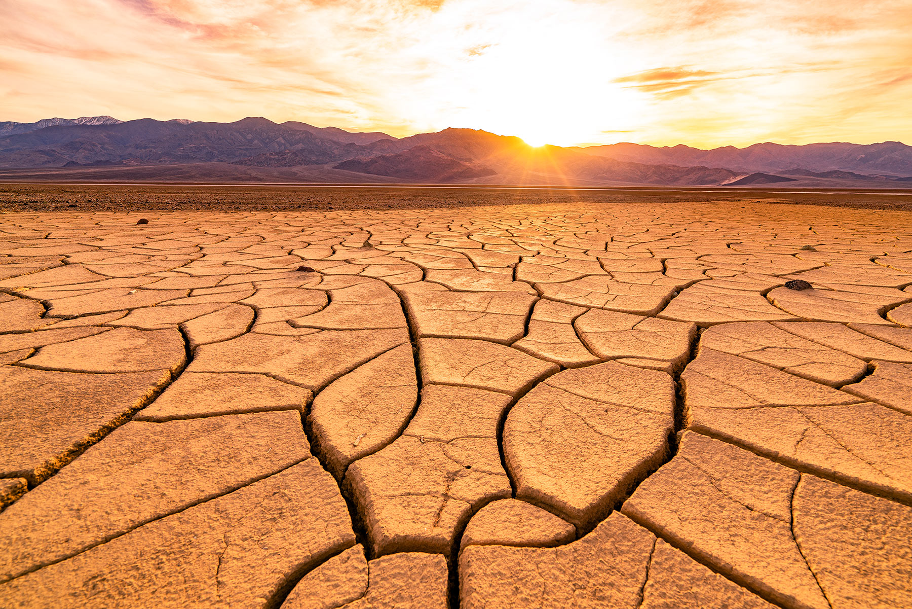
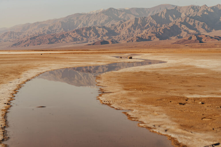
Death Valley deals in extremes the way other parks deal in views. Badwater Basin sits 282 feet below sea level, the lowest ground in North America, while Telescope Peak rises more than 11,000 feet directly above it. The hottest air temperature ever reliably recorded on Earth, 134 degrees, happened here in 1913. And at 3.4 million acres, this is the largest national park in the contiguous United States, most of it empty enough to make your ears ring.
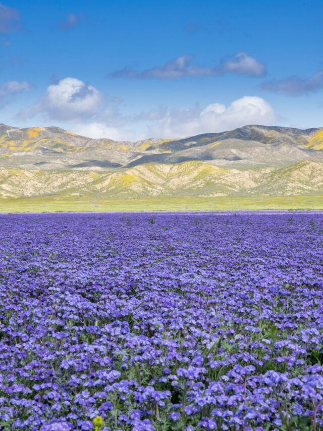
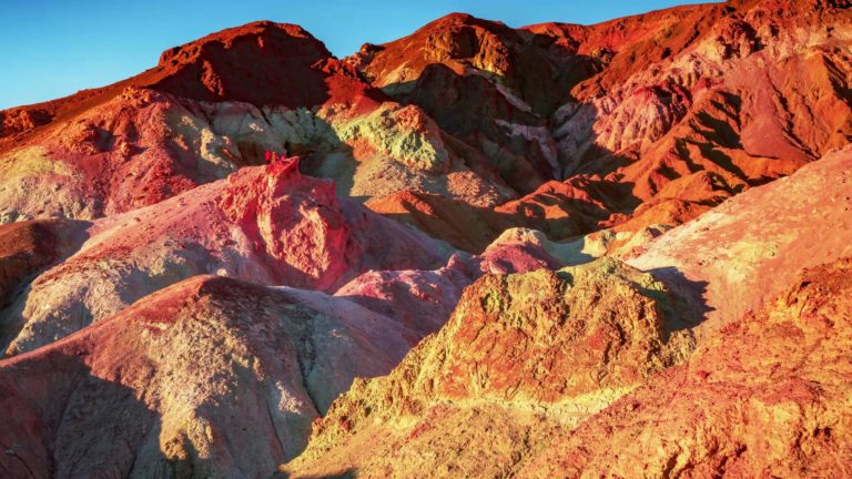
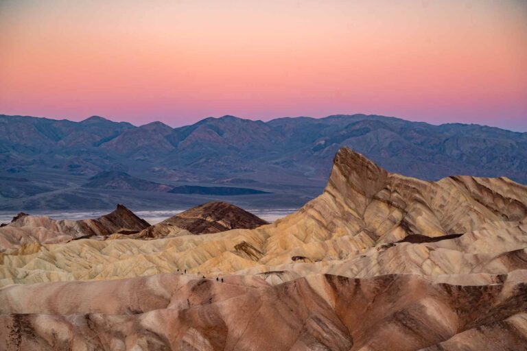
Come between November and March, when the weather turns merciful and low winter sun sets the badlands at Zabriskie Point glowing. Walk the salt polygons at Badwater, catch dawn on the Mesquite Dunes before the footprints arrive, and drive through Artists Palette in late light. In rare wet years the valley floor erupts in wildflowers, which is exactly the kind of joke this place likes to tell.
Start with our full Death Valley guide, then use the planning below.
02
Top things to do in Death Valley
Where we would start, and what we would plan a day around. Read the full guide.
Start here
25 Things to Do in Death Valley National Park (2026 Guide)
Read the guide
01
 Scenic Driving · nps.gov
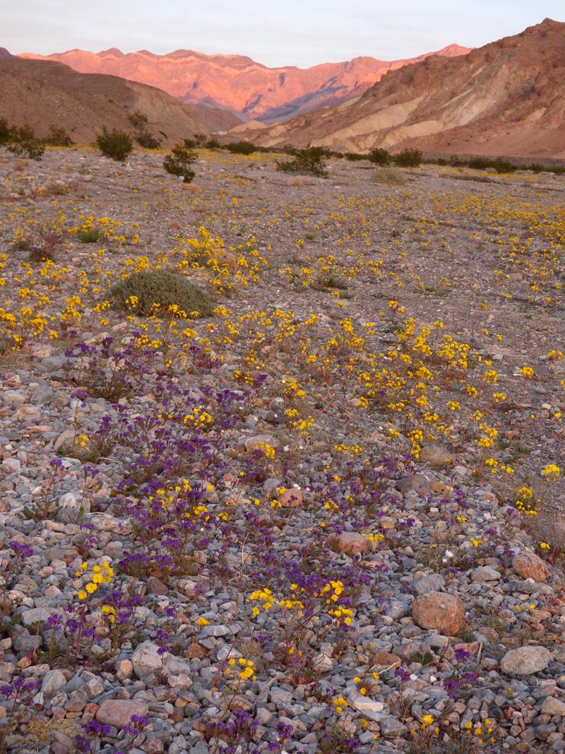
Explore Wildflowers in Death Valley
Learn about the different flowers you might be able to see in Death Valley during spring months.
02
Scenic Driving · nps.gov
Explore Wildflowers in Death Valley
Learn about the different flowers you might be able to see in Death Valley during spring months.
02
 Museum Exhibits · nps.gov
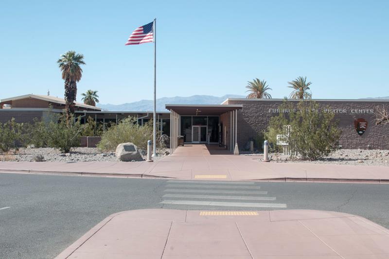
Visit the Furnace Creek Visitor Center
Stop by the visitor center to speak with park rangers and pay park fees and purchase national park passes. View the exhibits about Death...
03
Museum Exhibits · nps.gov
Visit the Furnace Creek Visitor Center
Stop by the visitor center to speak with park rangers and pay park fees and purchase national park passes. View the exhibits about Death...
03
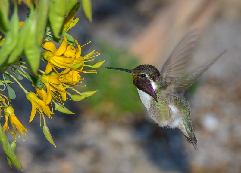 Birdwatching · nps.gov
Bird Watching
Roadrunners and ravens and hummingbirds- oh my! With many resident and migratory species, bird watching opportunities abound in Death Valley.
04
Birdwatching · nps.gov
Bird Watching
Roadrunners and ravens and hummingbirds- oh my! With many resident and migratory species, bird watching opportunities abound in Death Valley.
04
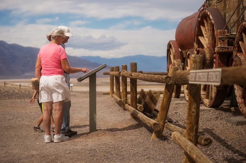 Self-Guided Tours - Walking · nps.gov
Harmony Borax Works Self Guided Walk
Harmony Borax Works was instrumental in drawing people to Death Valley in the late 1800s and in the subsequent popularity of the Furnace Creek...
Self-Guided Tours - Walking · nps.gov
Harmony Borax Works Self Guided Walk
Harmony Borax Works was instrumental in drawing people to Death Valley in the late 1800s and in the subsequent popularity of the Furnace Creek...
Scenic Driving · nps.gov
Explore Wildflowers in Death Valley
Learn about the different flowers you might be able to see in Death Valley during spring months.
02
Museum Exhibits · nps.gov
Visit the Furnace Creek Visitor Center
Stop by the visitor center to speak with park rangers and pay park fees and purchase national park passes. View the exhibits about Death...
03
Birdwatching · nps.gov
Bird Watching
Roadrunners and ravens and hummingbirds- oh my! With many resident and migratory species, bird watching opportunities abound in Death Valley.
04
Self-Guided Tours - Walking · nps.gov
Harmony Borax Works Self Guided Walk
Harmony Borax Works was instrumental in drawing people to Death Valley in the late 1800s and in the subsequent popularity of the Furnace Creek...
03
Best hikes in Death Valley
The trails that define the park, with the distance and elevation numbers that decide your day.
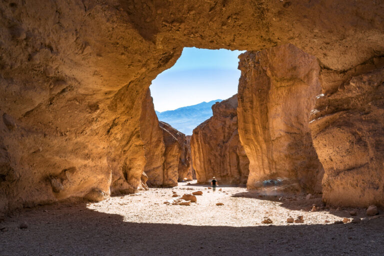 The trail guide
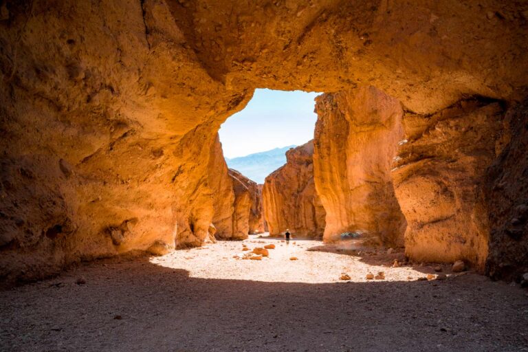
Natural Bridge, Death Valley National Park: Hike Guide
The trail guide
Natural Bridge, Death Valley National Park: Hike Guide
Before you go
Get the Death Valley heads-up
Permit windows, closures and seasonal alerts, plus our best Death Valley guides, in your inbox before you go. Free, no spam.
Planning day by day? Death Valley Itinerary: How to Spend 1 to 3 Days04
Plan your trip
Our guides for the big decisions, plus the gear, maps and lodging we would actually use for Death Valley.
Where to stay
Gateway towns with lodging, food and outfitters.
- Furnace Creek, CAGateway town
- Stovepipe Wells, CAGateway town
- Pahrump, NVGateway town
- Emigrant Campground 10 sites
- Texas Springs Campground 106 sites
Maps & guides
Carry paper. Cell service dies fast inside most parks.
America the Beautiful pass
$80 a year. Covers entrance fees at more than 2,000 federal recreation sites.
Get the pass
What to bring
Field-tested picks we bring on park trips.
-
Sun HatFull-brim coverage for exposed trails with zero shade. View on REI
-
Water BottlesCarry at least 2 liters. More in desert heat. View on REI
-
Hiking BootsAnkle support and grip for rocky, uneven terrain. View on REI
-
Sun-Protective ShirtUPF 50+ fabric keeps you cool and blocks UV all day. View on REI
Getting there
- LAS Las Vegas McCarran 130 mi
Some links in this section are affiliate links. If you book or buy through them we earn a small commission at no extra cost to you. We only recommend what we would use ourselves.
Death Valley map
VC Visitor Center
CG Campground
Nearby Park
05
Read our seasonal guide
When to go
Loading weather...
Month-by-Month Conditions
Tap any month for details
Month
High
Low
Crowds
Roads
Jan Best
67°
40°
Moderate
Open
Feb Best
73°
46°
Heavy
Open
Mar Best
82°
54°
Peak
Open
Apr
92°
62°
Heavy
Open
May
101°
72°
Moderate
Open
Jun
111°
81°
Moderate
Open
Jul
117°
88°
Moderate
Open
Aug
116°
85°
Moderate
Open
Sep
108°
76°
Light
Open
Oct
93°
62°
Moderate
Open
Nov Best
77°
48°
Moderate
Open
Dec Best
65°
38°
Heavy
Open
Best months to visit
Crowd level (low to peak)

Watch our film
Death Valley National Park 8K
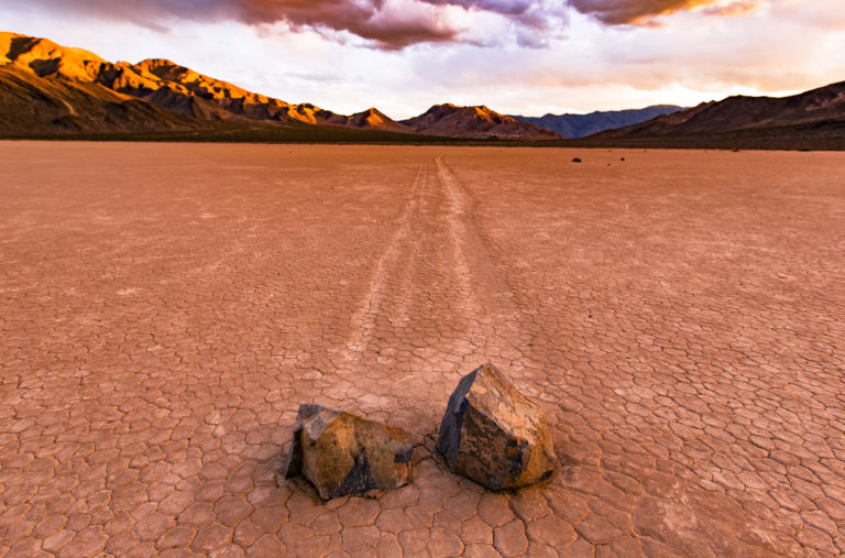
The largest park in the lower 48 and the hottest place on earth, so we shot it in winter and hiked most of the trails to do it. The dunes, the Racetrack, Badwater. If a place this brutal can be this beautiful, that's the whole point.
Browse all our national park films06
More Death Valley guides
National Parks
National Parks
Death Valley in Spring: The Best Time Nobody Talks About
National Parks
Natural Bridge, Death Valley National Park: Hike Guide
Things to Do
25 Things to Do in Death Valley National Park (2026 Guide)
Educational Resources
13 Facts About Death Valley National Park
National Parks
Artists Palette: Visiting Death Valley’s Best Spot
Itineraries
Death Valley Itinerary: How to Spend 1 to 3 Days
National Parks
9 Best Death Valley Campgrounds

National Park Guides
Death Valley National Park Guide
07
Parks near Death Valley
Within reach if you are building a longer trip.
Worth protecting
Death Valley belongs to all of us
Protections that took generations to win can be rolled back in a single session of Congress. We keep watch so they hold.
Stay in the Loop
Free dispatches on the parks and the policy fights around them, almost every day. Threats tracked, wins celebrated, no fluff.
Threatened Lands Map
Follow what's happening on federal lands across the country with our interactive map.
View the Tracker