 MORE THAN JUST PARKS
METHODOLOGY HOW THIS WAS MADE Check us
Every number on this site comes from a document you can open, and every chapter tells you which one and what page. This is the rest of it: what we hold, how we counted, what a machine checks before a page goes live, where we disagree with the government, what we got wrong, and what we still don't know.
In short
Primary documents, plus a short list of press and advocacy sources. A news report or advocacy release appears only where it is the source for a quote or a count, and each is named where it is used. Everything else is the document itself.
| Class | What it is | Where it came from |
|---|---|---|
| The federal reviews | 2020 Final EIS, 2020 Joint Record of Decision (complete, 319 pages), 2024 Final Supplemental EIS Volumes 1 and 2 including the ANILCA 810 subsistence evaluation, 2024 Record of Decision, the noise model and its figures | BLM ePlanning project 57323 and the Alaska Resources Library (ARLIS) |
| The decisions and the litigation | The October 2025 Decision of the President, the Trustees for Alaska third amended complaint, the July 2026 omnibus order in Northern Alaska Environmental Center v. Burgum | The White House; the District of Alaska via CourtListener and RECAP |
| The applicant | AIDEA's audited financial statements FY2022 to FY2025, its board resolutions and minutes on the Ambler memorandum and the $50 million, its 2021 development plan and easement application, its 2017 review of the Red Dog road, its press releases, its Benefits page | aidea.org and ambleraccess.org |
| The state | DNR's easement decision, draft easement and entry authorization; the Ambler Road Site Specific Plan; the Knik Arm audit; DOT&PF's Dalton Highway materials, disaster declaration and the 2026 toll bill with its fiscal note | Alaska DNR, Legislative Audit, DOT&PF and the Legislature |
| The companies | Trilogy Metals' Form 10-K, 10-Q, every 8-K and news release on the Department of War investment, the executed Investment Agreement, Cooperation Agreement and Warrant, the Schedule 13D, the Arctic and Bornite S-K 1300 technical reports; Teck's Annual Information Form and MD&A | SEC EDGAR, pulled by script at the start of every working session |
| Fish, caribou, subsistence | ADF&G Technical Papers 175, 398 and 505, the 2025 Yukon season summaries, the USFWS 2025 review, the 2026 federal subsistence bulletins, the Western Arctic Caribou Herd working group and technical committee packets, the published economics of this road's effect on subsistence | ADF&G, USFWS, the Office of Subsistence Management, the Herd working group, the journal Arctic |
| The other side | The signed resolutions of Allakaket, Ruby and Hughes (transcribed from the scans), NANA's four published positions, AIDEA's releases carrying the supporters' own words, the companies' op-ed | ambleraccess.org, nana.com, the Anchorage Daily News |
| Precedent | GAO-05-377 on mine reclamation bonds, the Ontario Auditor General on the Ring of Fire, the Dalton washout reporting | GAO, the Auditor General of Ontario, the Anchorage Daily News |
Every document's title, date and source URL is in the record itself; the record page lists them and every citation on every chapter links to the source, with a page number for PDFs. The same documents, 204 in all with the working files that aren't yet public, run on the enterprise side of More Than Just Parks with embeddings and grounded answers; the public record is the same text, cut by page, searchable by word.
The crossings. AIDEA publishes its own engineering geometry as a public feature service: the centerline, every culvert and bridge, every material site with its asbestos rating, every access road, camp, airstrip and turnout. We pulled it. The first pull came back with 2,000 crossings and looked fine, because ArcGIS servers return a page of records and a flag rather than an error when there is more. The script now pages until the server says there is no more and then asserts the count against what the service reports, so a short pull fails loudly instead of quietly shipping a partial map. The result is 2,932 crossings. The 2024 Record of Decision's component table lists 2,864 minor culverts, 7 moderate, 12 major, 22 small bridges, 16 medium and 11 large, which sum to 2,932, and the 2020 Joint Record of Decision states it outright: "Approximately 2,932 streams would be crossed." The file classes them as 2,903 culverts and 29 bridges where the decision says 49 bridges; we publish that as a discrepancy, not a correction. We joined the crossings to the National Hydrography Dataset and to ADF&G's Anadromous Waters Catalog, which is how we can say that 28 of them are on catalogued fish water.
The claims. The State of Alaska's mining claims database carries every active claim with its holder, its acreage and the date it was located. We pulled the whole corridor, not the mining district alone, which is how the count became 5,122 active claims on 649,057 acres, with the closed claims kept as a separate history layer. The staking waves in the mines chapter are counted by the state's own "date located" field: 1,063 claims in June 2020 and 504 in the five weeks after the President's decision of October 6, 2025. The figure usually quoted, around 1,700, is the count the environmental review carried in 2018. It was right then.
The sound. The baseline is the Park Service's own acoustic monitoring, and the projection is the applicant's own noise model, read from the appendix rather than the summary. The ground. Every acre of footprint is joined to the state's permafrost mapping and to the applicant's own material-site file, which carries a per-pit asbestos rating. The money. Every dollar is from an audited statement, an SEC filing or a federal decision, and figures we could not find in a document we hold were taken off the site on September 15, 2026, including a widely repeated two-billion-dollar estimate.
Nothing on the atlas is redrawn by us. It draws the files we pulled, with their sources listed on the map.
2024 Record of Decision, p. 12, component table (the six crossing rows). Joint Record of Decision, 2020, p. 20 (the stated total). AIDEA's feature service is public and unlisted; the atlas's sources sheet names it. Alaska DNR mining claims, Alaska Mapper. The counts themselves are ours and are labelled as ours wherever they appear.
Before launch we ran three checks over every chapter and the front page, and we run them again whenever a page changes.
Every number in every section, looked for verbatim in the text of the documents that section cites. Last full run: 17 pages, 63 not found in the cited document, every one read by hand. They are our own counts and arithmetic, labelled as such; figures from datasets we queried directly and cite by query, such as UN Comtrade and NOAA's catch accounting; and figures from outside the record, which were removed.
Every quoted passage of forty characters or more, split at ellipses and sentence ends, each piece required to appear verbatim in the record. 17 not matched mechanically, each one classified: a bracket we inserted, a page split in the source, a web page that changed after we quoted its archived copy, or a paper whose publisher blocks retrieval, in which case the quote is marked as read from the abstract or the archive.
The first mention of each document in every citation becomes a link to the source, with a page anchor for PDFs, so a reader is never more than one click from the page being cited.
The sweeps are how the record itself was found to be dropping the last sentence of almost every page: a quote that we knew was real could not be matched, and the reason was ours. The fix is in, and the record was rebuilt.
The sweeps are scripts we wrote for this project and run locally. Their ledgers are internal, but every figure and quote they check is on the page it lives on, with its citation, so anyone can repeat the check by hand against the linked document.
A number that changes between two federal documents is a finding, not a problem to be smoothed over. These are the ones we hold open, and the chapter each lives in:
| Figure | The documents say | Where |
|---|---|---|
| Bridges | 29 in AIDEA's engineering file, 49 in the 2024 Record of Decision; the total, 2,932, is the same in both | The water |
| Material sites | 41 in one federal count, 44 in the applicant's file; the signed park permit allows none inside the preserve, where the file draws one | A road is not a line |
| The haul to a ship | 808 miles in one federal table, 936 in the route screening | The money, the ore |
| Dust | The review's zone of greatest dust effect against the measured fall-off of dust on the Dalton | The ground |
| Traffic | The applicant's daily truck count against the government's | The road |
| Wetlands and streams | Three federal numbers for one project | The water |
| Red Dog's end | 2031 on Teck's operations page and in NANA's material, 2032 in Teck's 2025 filings | The case for the road |
| The road's length | 211 miles everywhere except AIDEA's May 2026 release, which says 200 | The road |
This is the corrections log for the whole site. It will keep growing, and we would rather it did than not.
2024 Final SEIS, Vol. 1, p. 39 (the hearings). 2024 Record of Decision (no mine plan pending).
More Than Just Parks is an independent publication about America's public lands. We are against the Ambler Road, and the front page of this site says so in its first line. Two rules follow from saying it out loud. The other side is stated as it states itself, at length and without a foil, which is a whole chapter. And the disagreement among Alaska Native governments is never flattened: positions are reported at the level of the body that holds them, so a regional corporation, a borough, a village council and a tribal consortium are four different sentences.
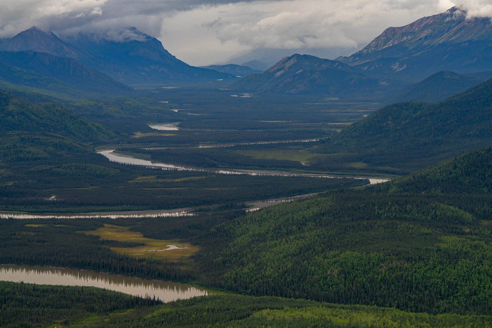
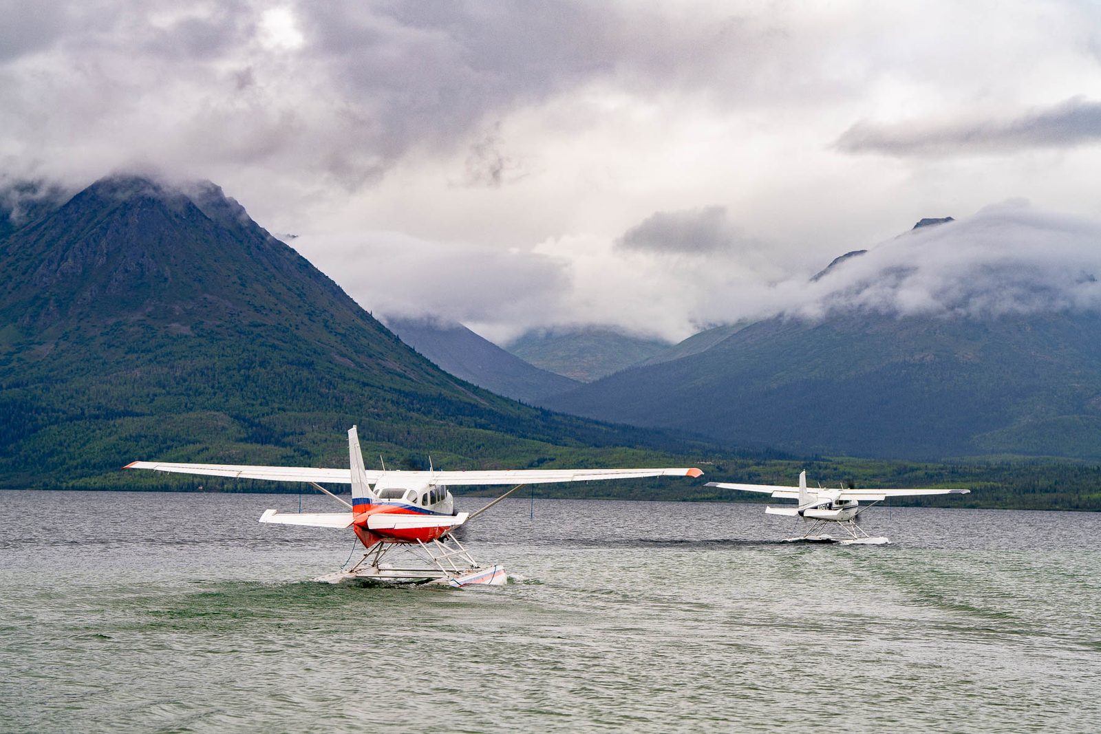
We went. In August 2026 we spent six days in Gates of the Arctic, in the country the road would cross, invited with a small group of writers. We don't publish where we camped. Every photograph on this site is ours unless the credit says otherwise, and the few that aren't are credited to the Park Service where they appear. This reporting was not commissioned or paid for by any party to the Ambler litigation, any company, agency or tribal body named on this site.
If a figure here is wrong, a quote is misattributed, or a document says something other than what we say it says, write to ask@morethanjustparks.com with the page and the source. Corrections are made on the page and logged above, with the date.
From 106 documents held in full and cut into 21,147 searchable passages, each tagged with its document and page. Every figure on this site is in that record, comes from a press or advocacy source we name where it's used, or is labeled as our own count. You can search it yourself on the record page.
The Ambler Road record, listed in full on this page.We counted both ourselves, from the applicant's engineering file and the state's own claims database, and this page says how. The crossings match the federal decisions' own figures exactly. The claims number is current where the number everyone quotes is six years old.
AIDEA engineering file; Alaska DNR mining claims database. Method on this page.No. We're against this road and say so on the front page. That's a reason to check our work, not to skip it: before launch a script checked every number on every chapter against the documents its section cites and every quoted passage against the record, verbatim, and the mistakes it found are listed on this page. Where our counts and the government's differ, we print both.
Corrections and sweep results on this page.Pick any number on any chapter, follow its citation, and read the page. If you can't get there in two clicks, that's a bug, and we want to hear about it.