IMAGERY FOR A FIGHT MOST PEOPLE HAVE NEVER SEEN
Little of the Ambler corridor had been photographed in detail. We went and made some. Our photographs are licensed: rates and requests on our licensing page.
We flew and walked the corridor country in August 2026 and this is what we brought back. Every photograph on this page is ours, and every use needs a license: rates and requests on our licensing page. Licensed use carries the credit More Than Just Parks and a link to this page. Questions: ask@morethanjustparks.com.
This is the first release, from one of two cameras. More frames, including work from the second body, will be added to this page as they are processed.
For newsrooms and organizations: the press kit carries a twelve-image pack as one zip with the credit line inside it, square and vertical crops of the strongest frames for social, embed codes for the map and the flight, and quotes for attribution.
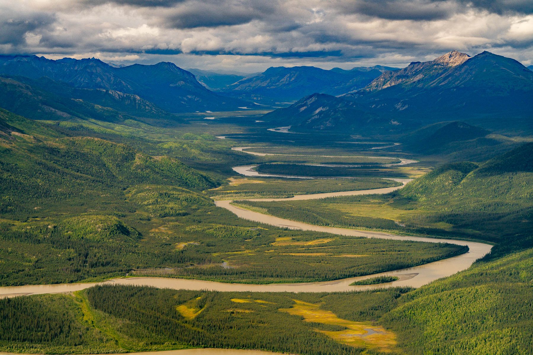
A river braids through a valley with no road, no structure and no cut anywhere in it. This is the condition the fight is about. CREDIT: MORE THAN JUST PARKS
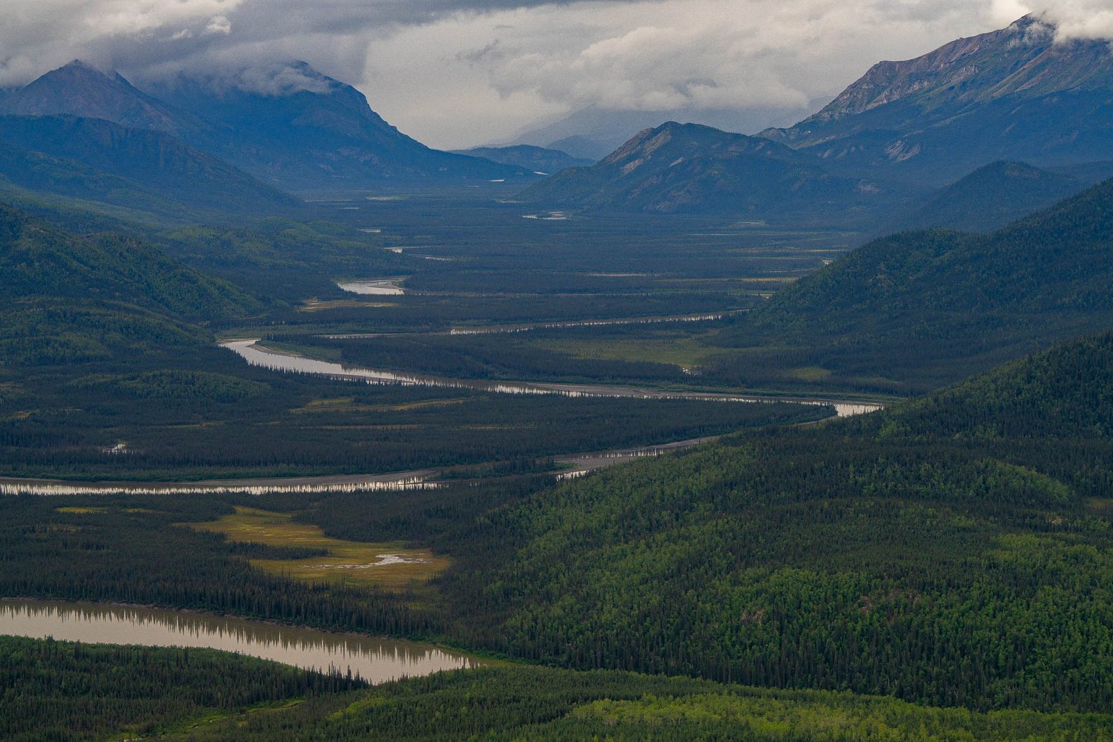
Storm light over a wide river valley in the corridor country. CREDIT: MORE THAN JUST PARKS
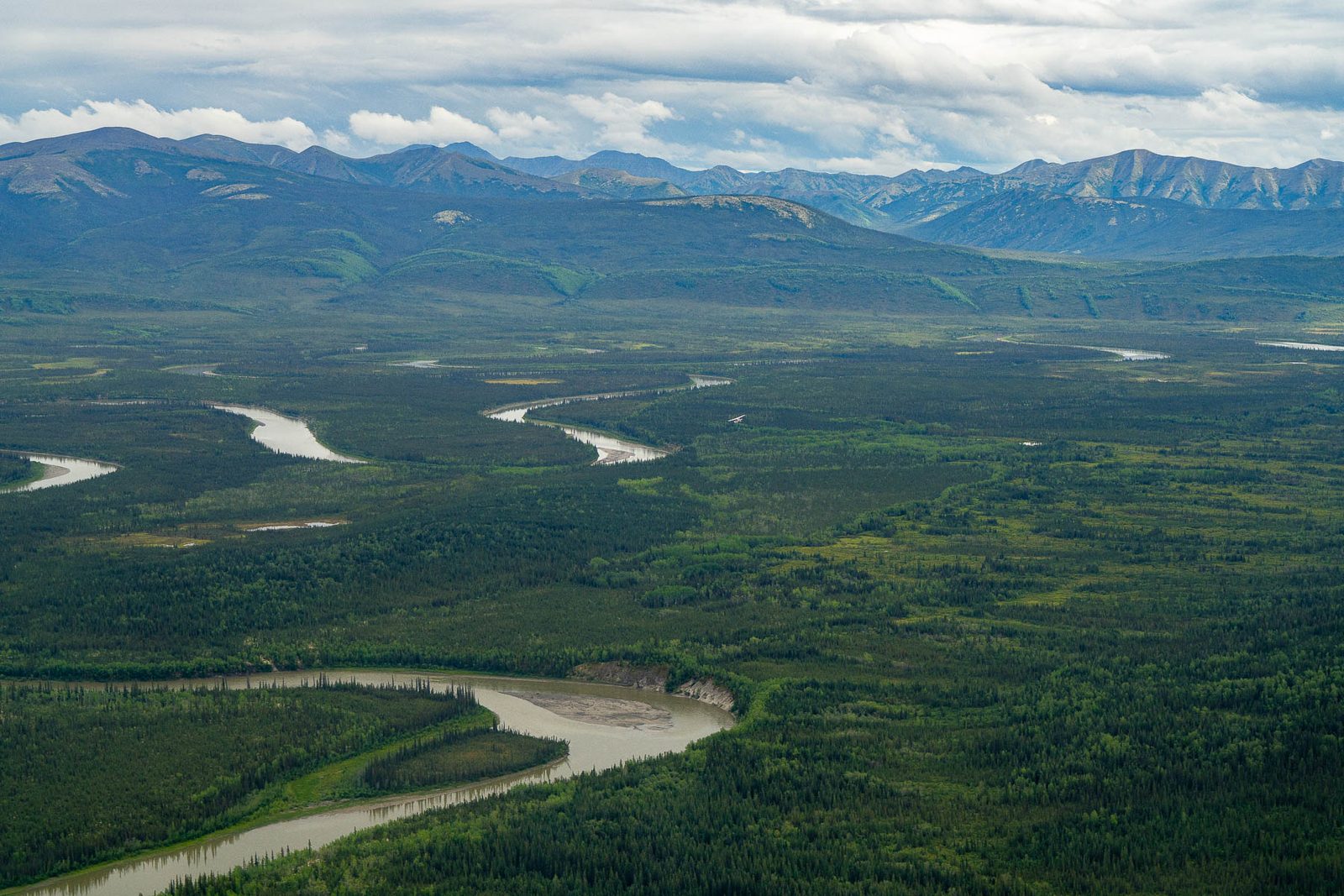
The road would cross 2,932 waterways. This is what most of them look like. CREDIT: MORE THAN JUST PARKS
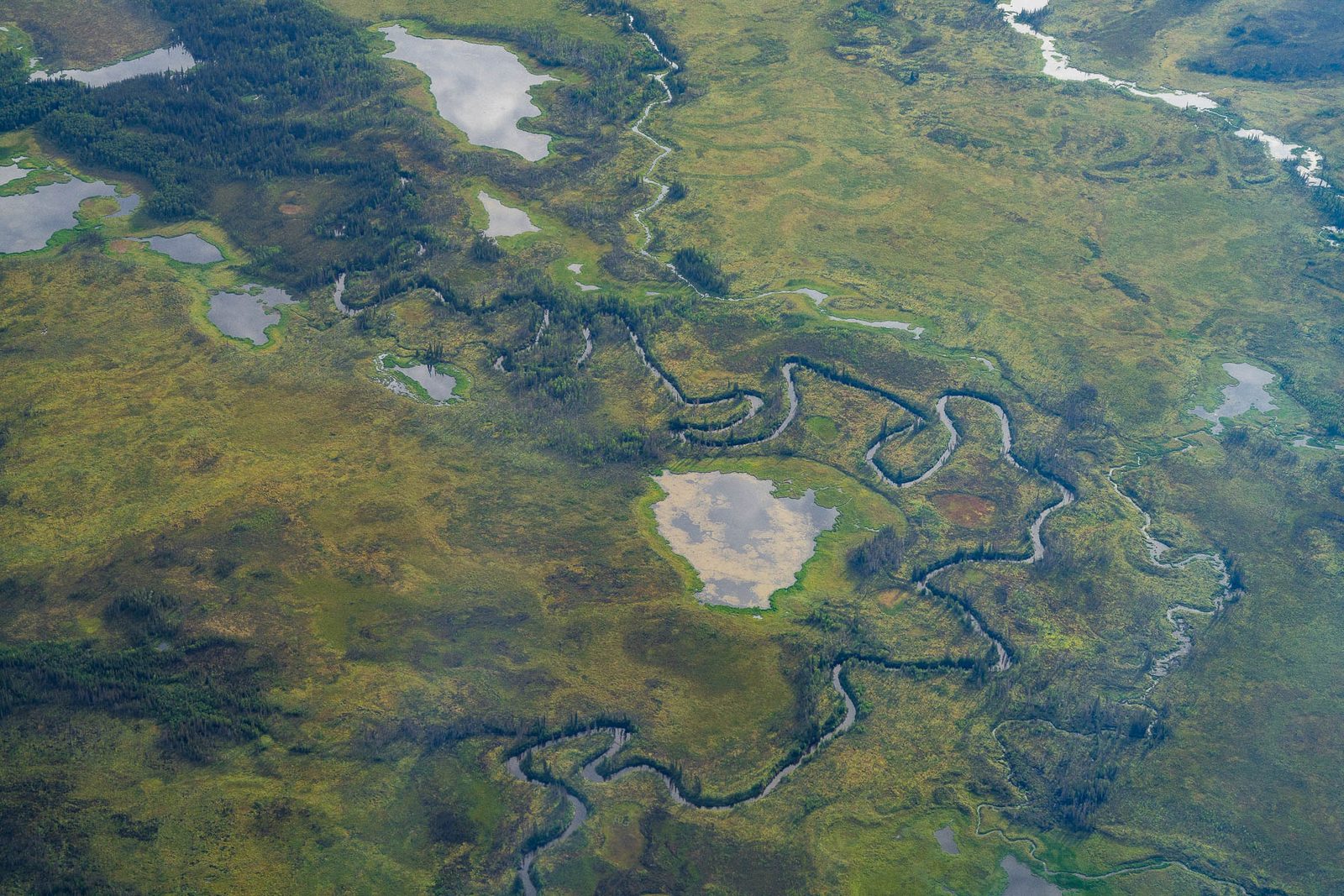
Tundra wetlands threaded with streams and ponds, the ground a gravel road has to be built on top of. CREDIT: MORE THAN JUST PARKS
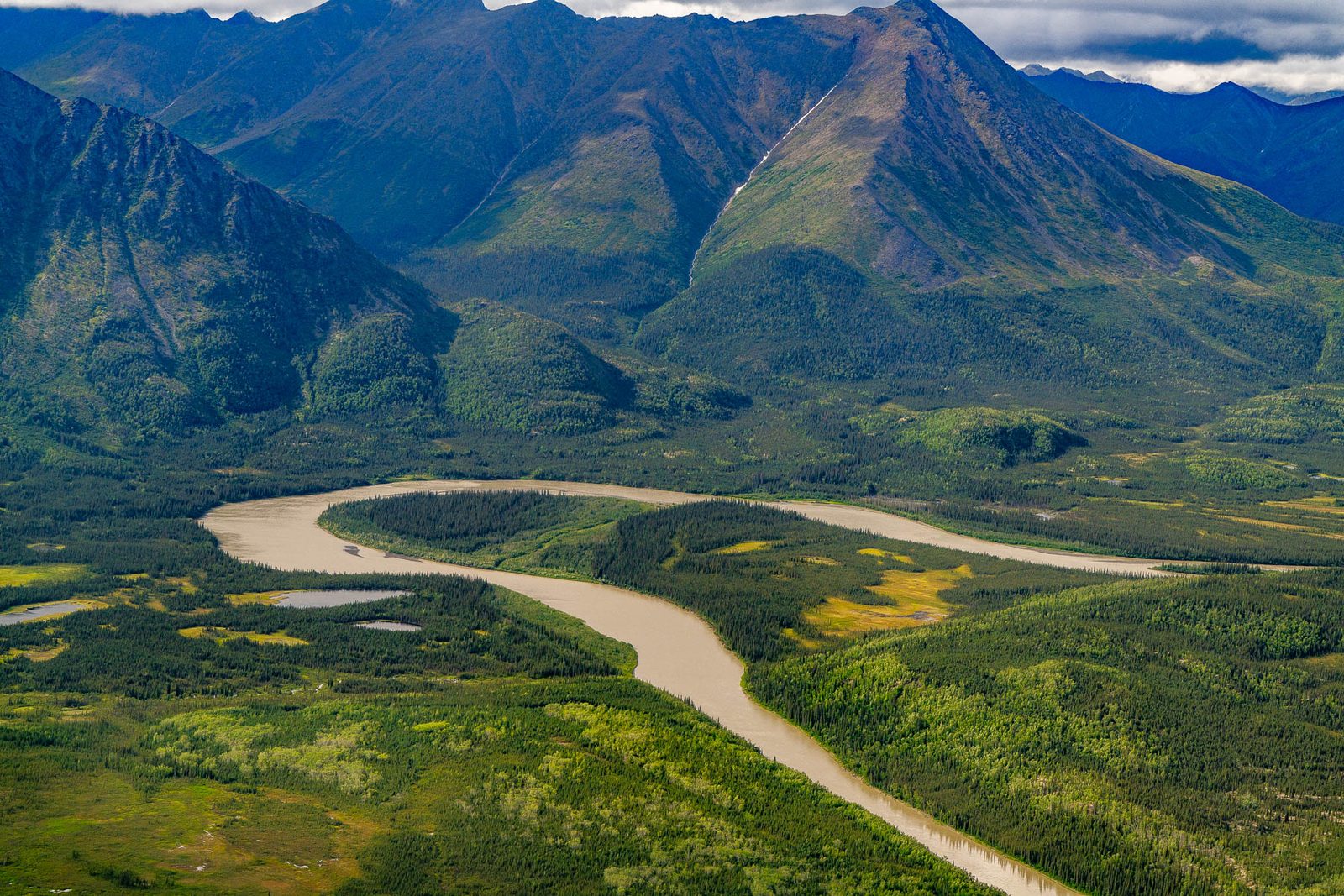
A river bend below the steep front of the Brooks Range. CREDIT: MORE THAN JUST PARKS
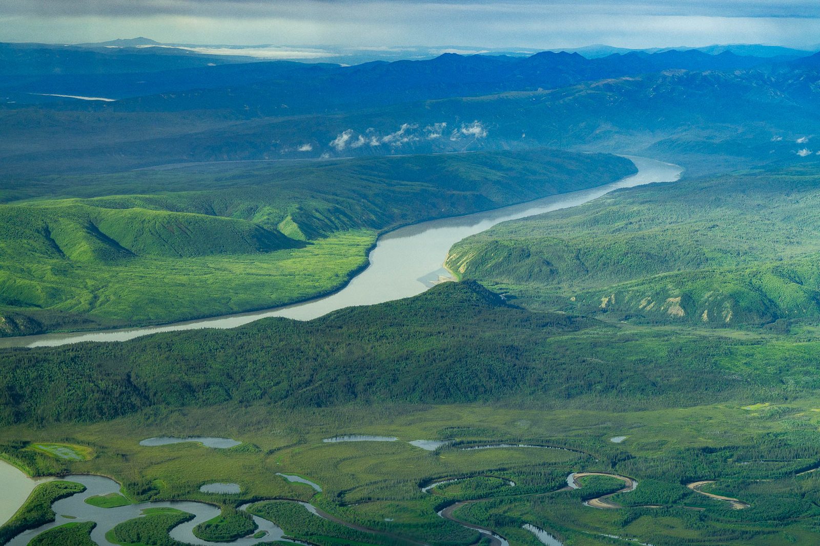
A large river cutting through green hills under summer haze. CREDIT: MORE THAN JUST PARKS
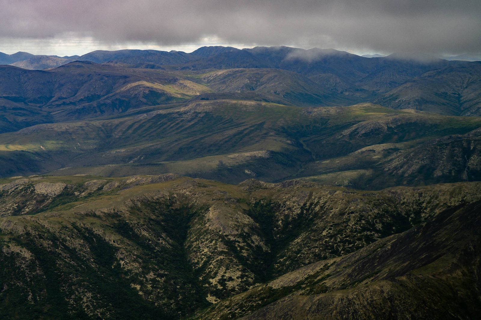
Ridgelines under heavy cloud. CREDIT: MORE THAN JUST PARKS
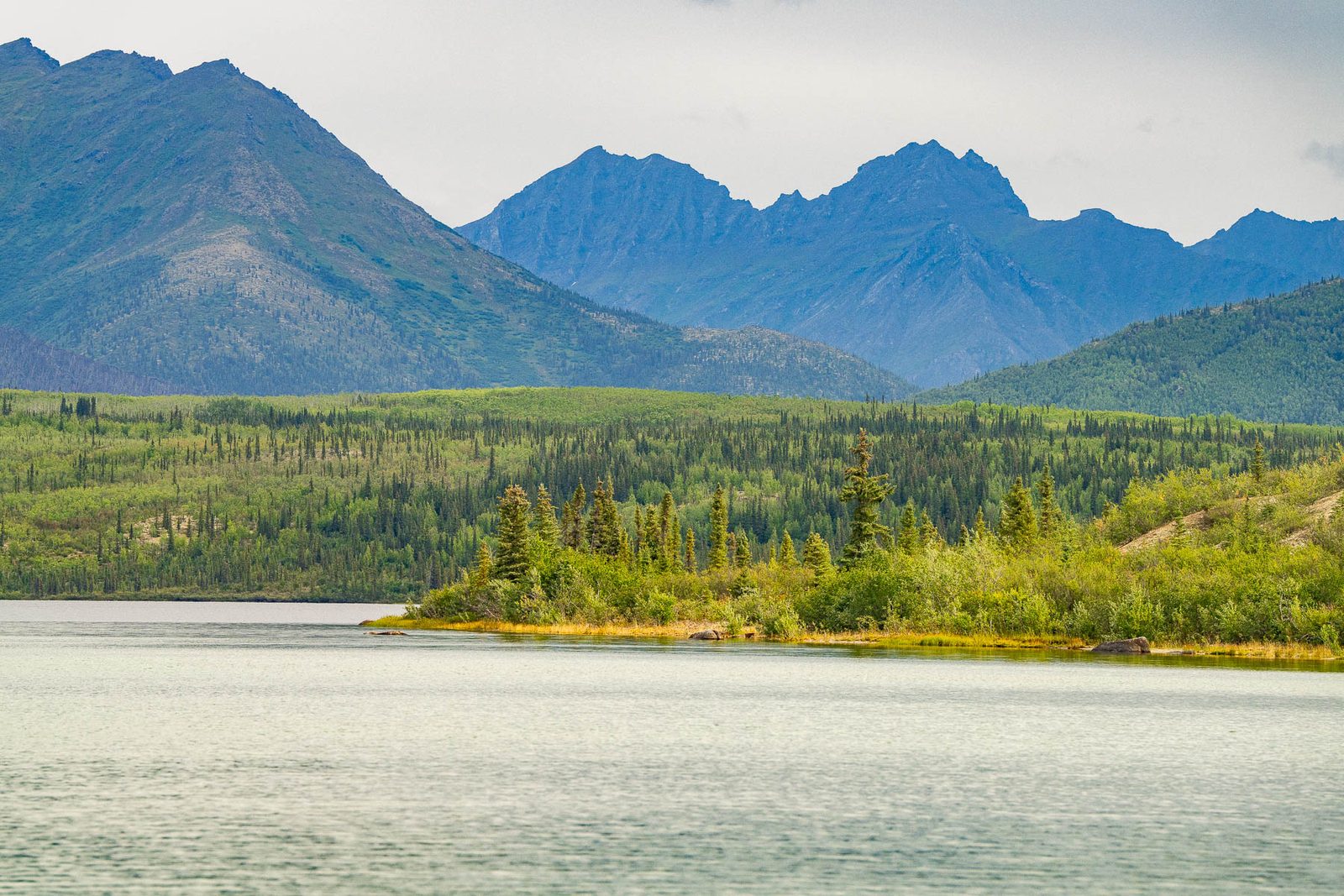
Mountains above one of the lakes in the corridor country. CREDIT: MORE THAN JUST PARKS
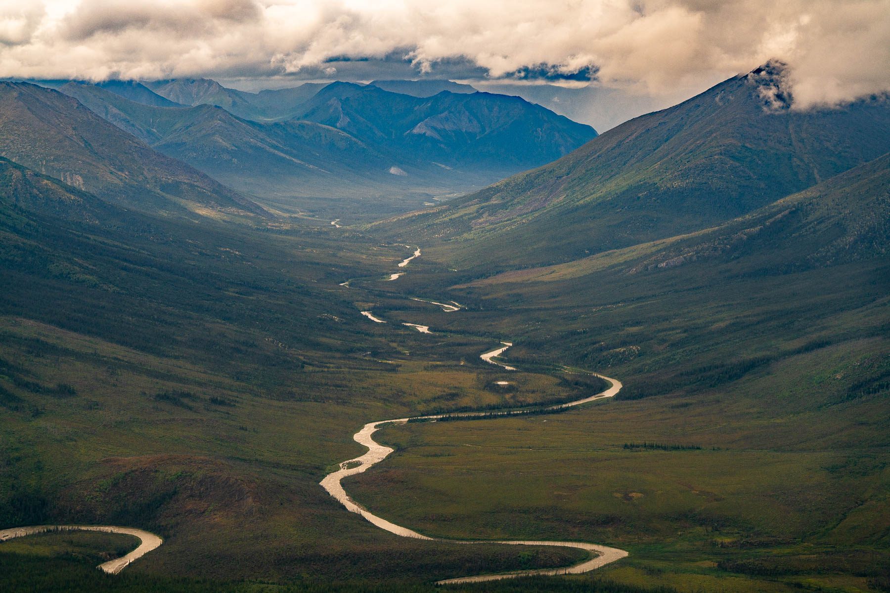
A braided river down an unbroken valley in the corridor country. CREDIT: MORE THAN JUST PARKS
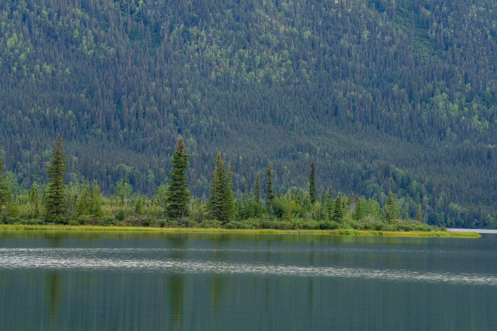
A lakeshore on a windless evening. CREDIT: MORE THAN JUST PARKS
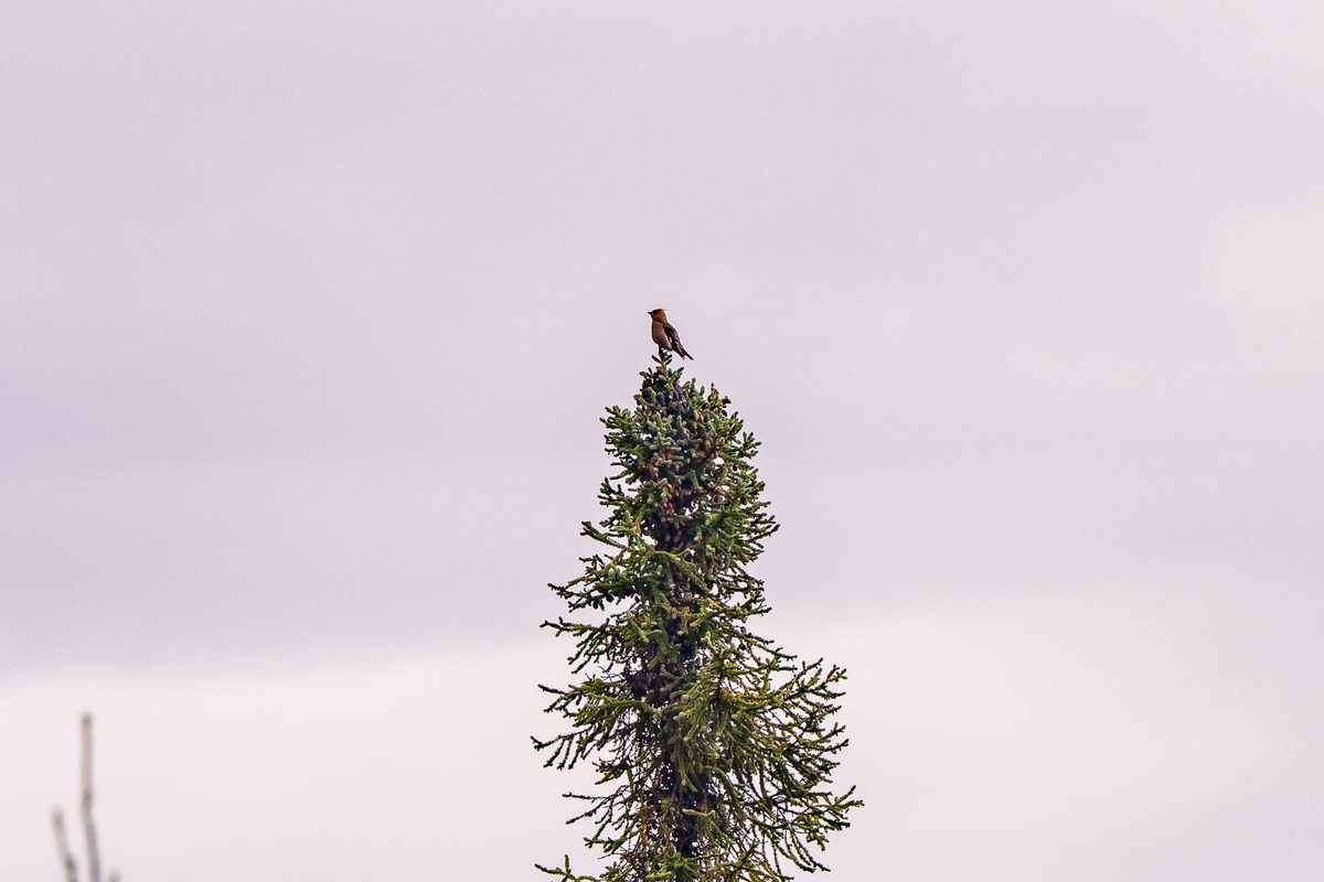
A bird on the tip of a black spruce. CREDIT: MORE THAN JUST PARKS
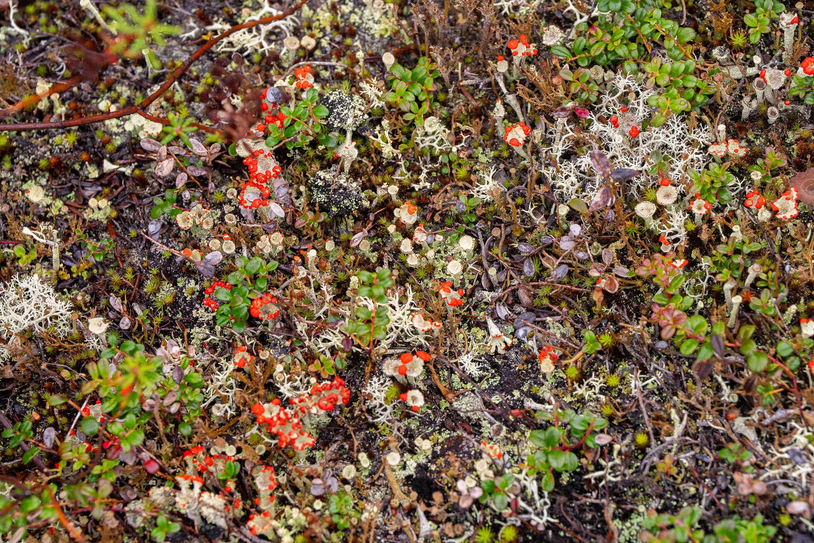
The tundra floor: reindeer lichen, crowberry and bearberry, caribou winter range. CREDIT: MORE THAN JUST PARKS
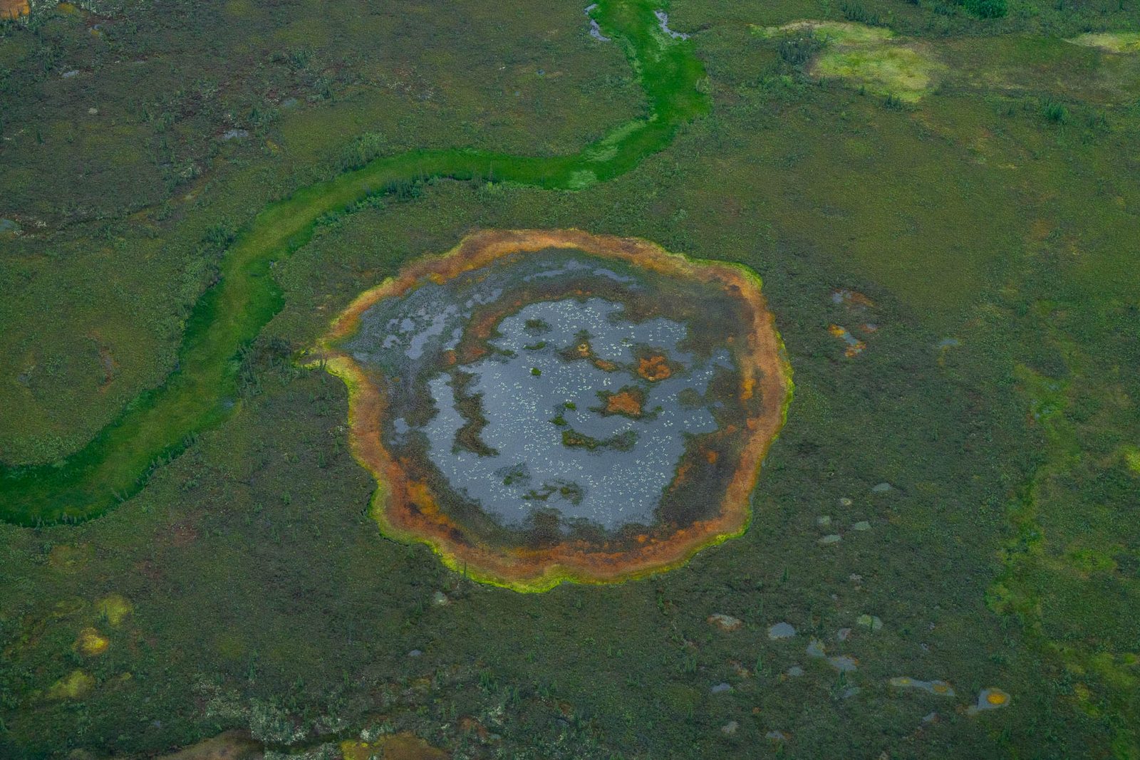
A tundra pond ringed in iron, from the air. CREDIT: MORE THAN JUST PARKS
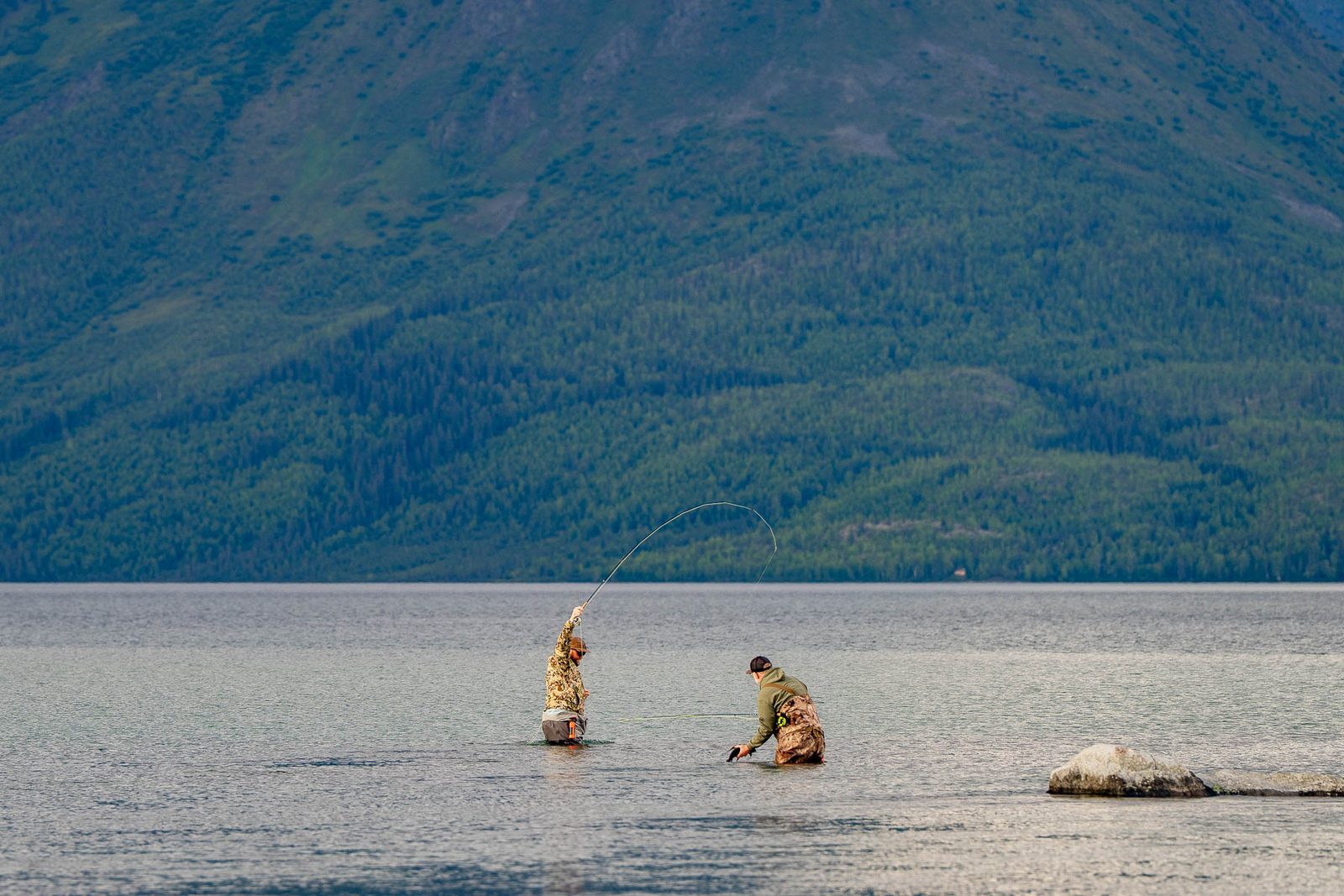
Will and Jim Pattiz on the water in the Ambler country, August 2026. CREDIT: MORE THAN JUST PARKS
No part of the Ambler Road exists yet. These frames are the Dalton Highway corridor, the nearest built comparison, photographed on the way in and out.
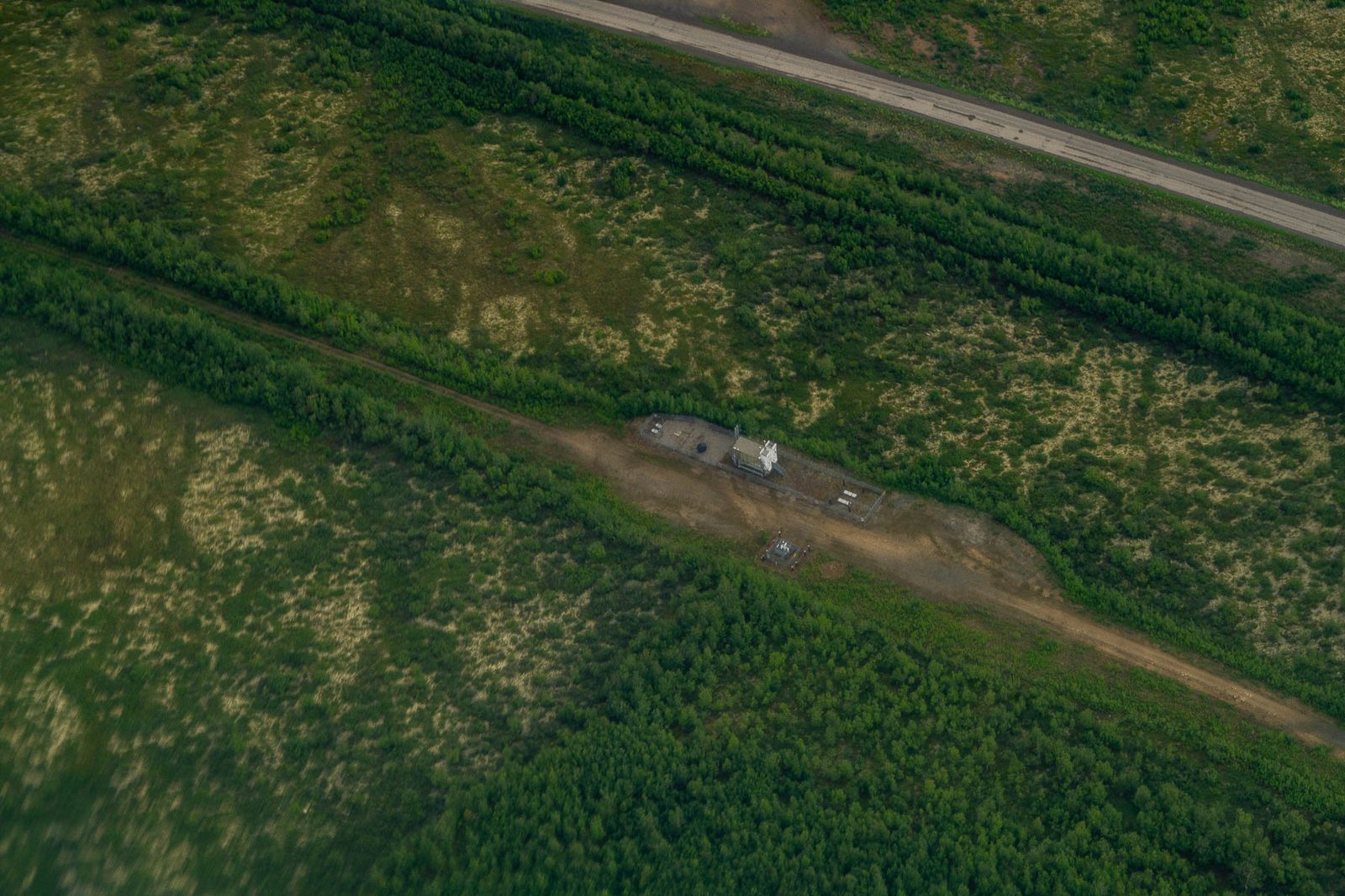
The Dalton Highway and pipeline corridor from the air. An industrial road in the Arctic does not blend in, and this is the closest existing analogue to what is proposed. CREDIT: MORE THAN JUST PARKS
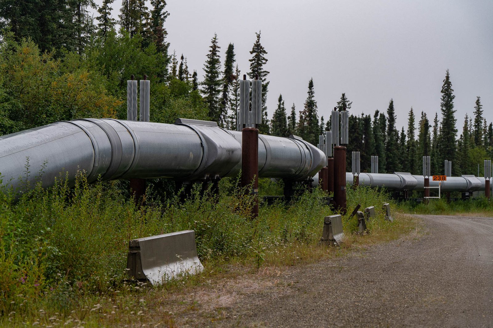
The pipeline beside the Dalton Highway near Coldfoot. CREDIT: MORE THAN JUST PARKS
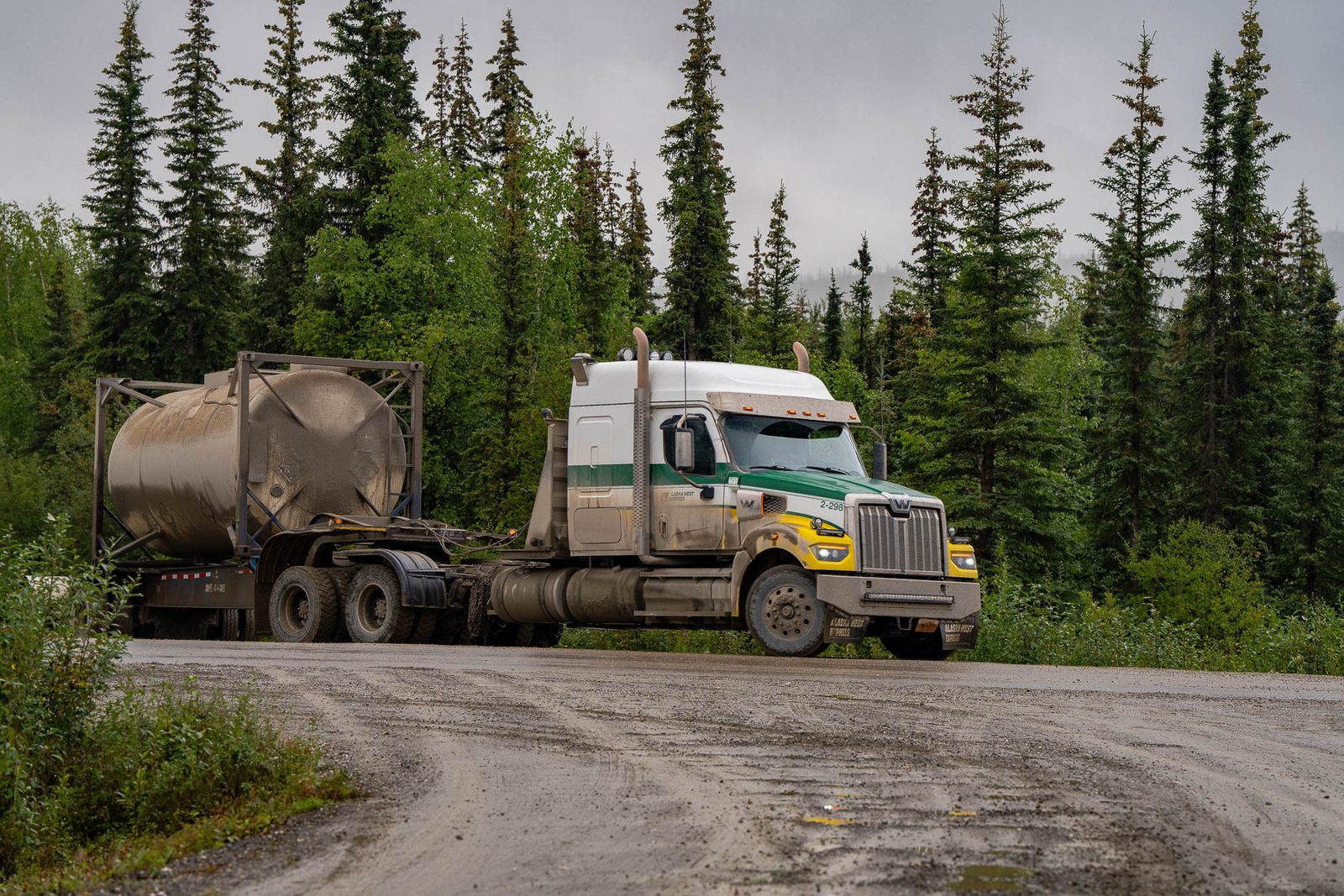
A tanker at the Coldfoot junction. CREDIT: MORE THAN JUST PARKS
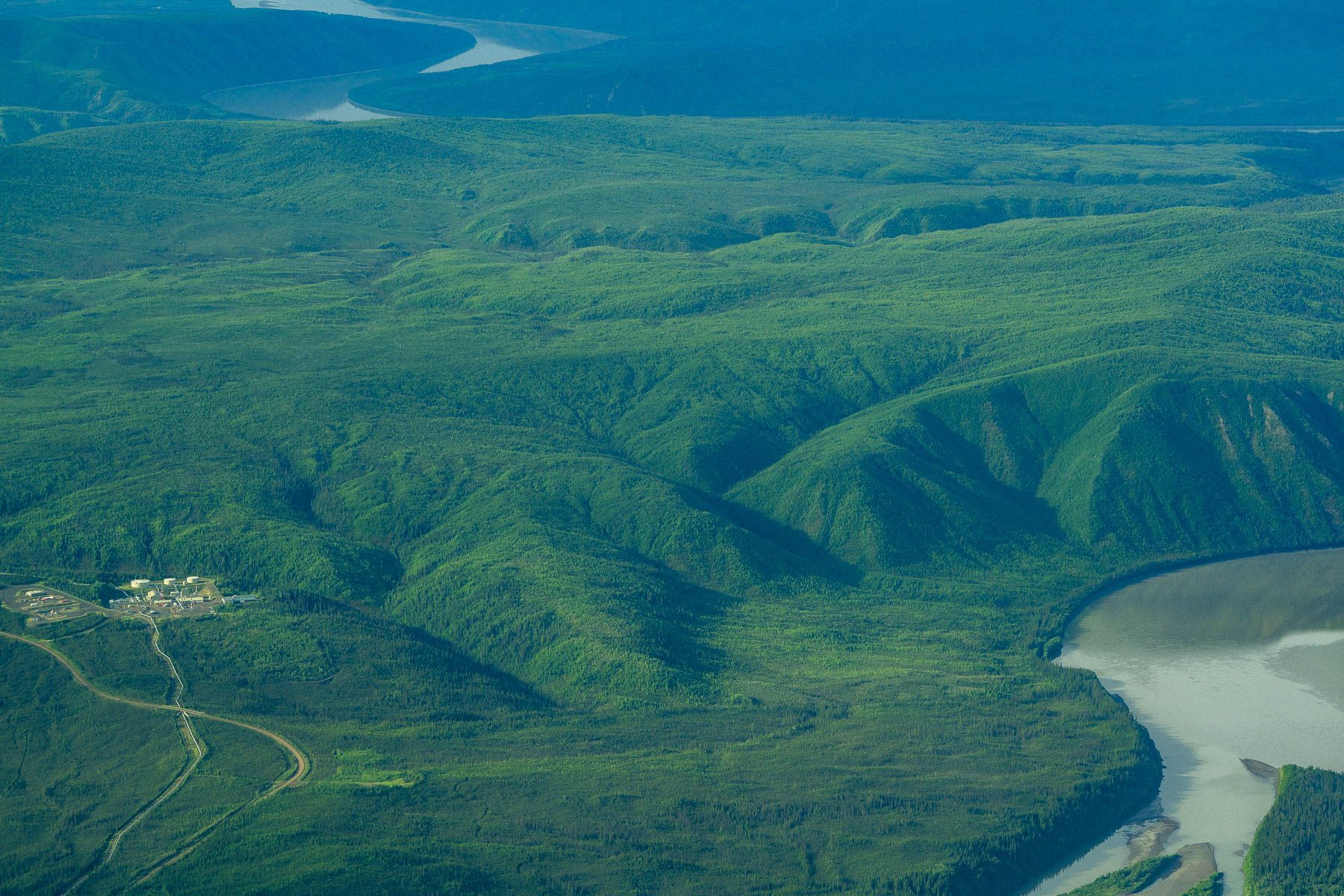
Coldfoot and the Dalton beside the Koyukuk River, from the air. CREDIT: MORE THAN JUST PARKS
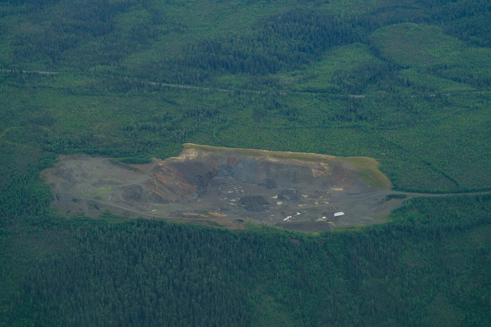
A gravel pad cut into spruce along the Dalton corridor. CREDIT: MORE THAN JUST PARKS
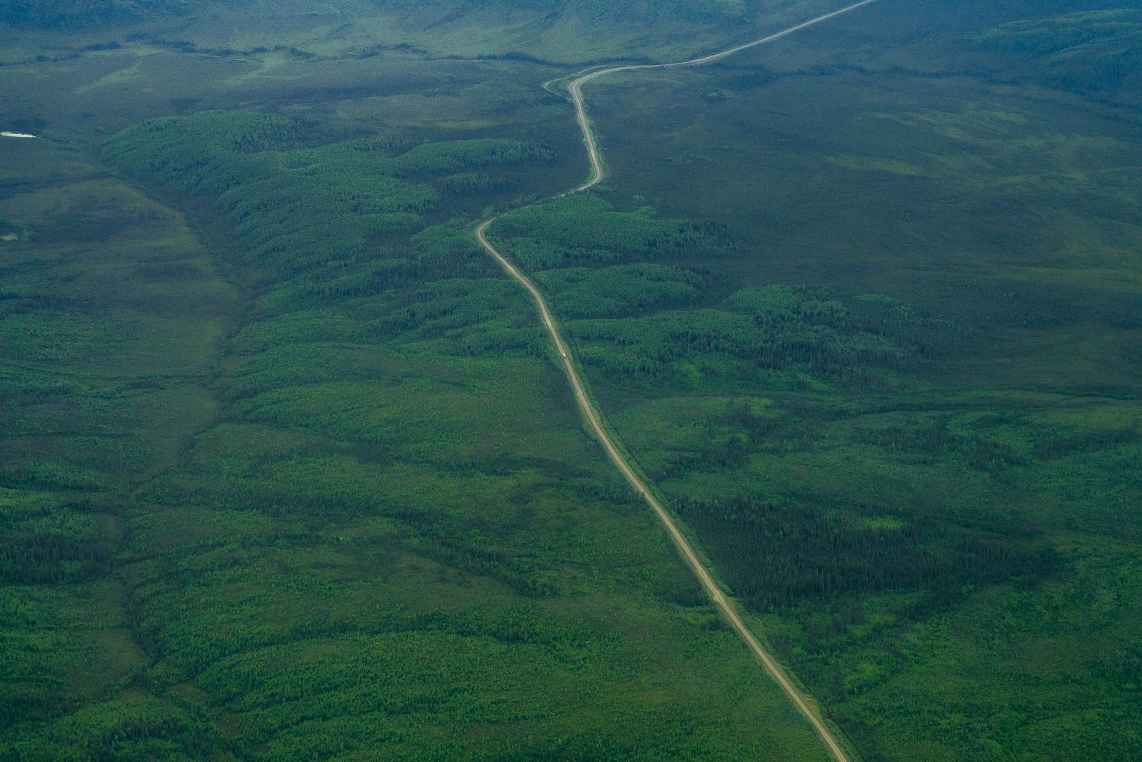
A spur road through spruce along the Dalton corridor. CREDIT: MORE THAN JUST PARKS
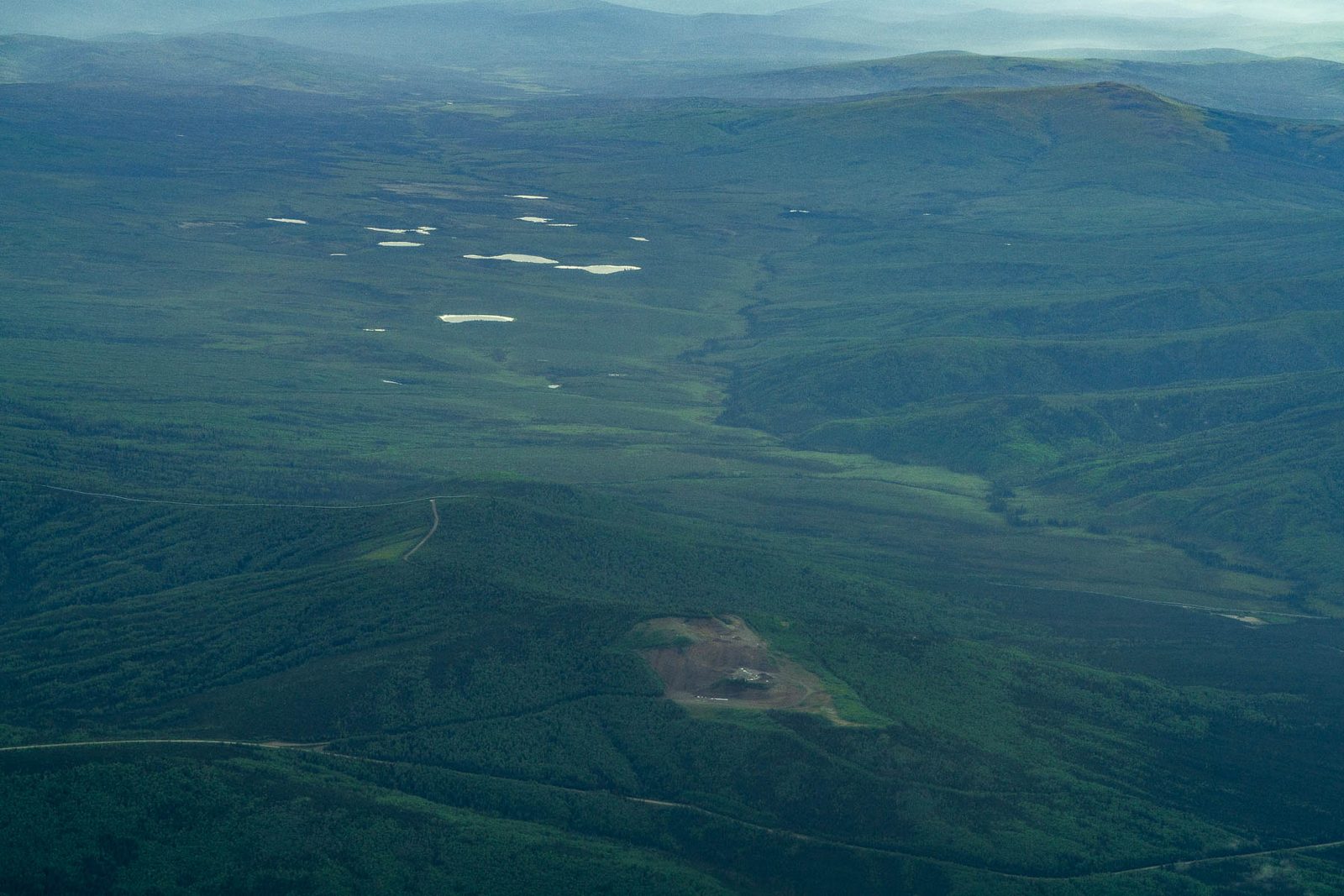
A cleared pad on the flats, ponds beyond. CREDIT: MORE THAN JUST PARKS
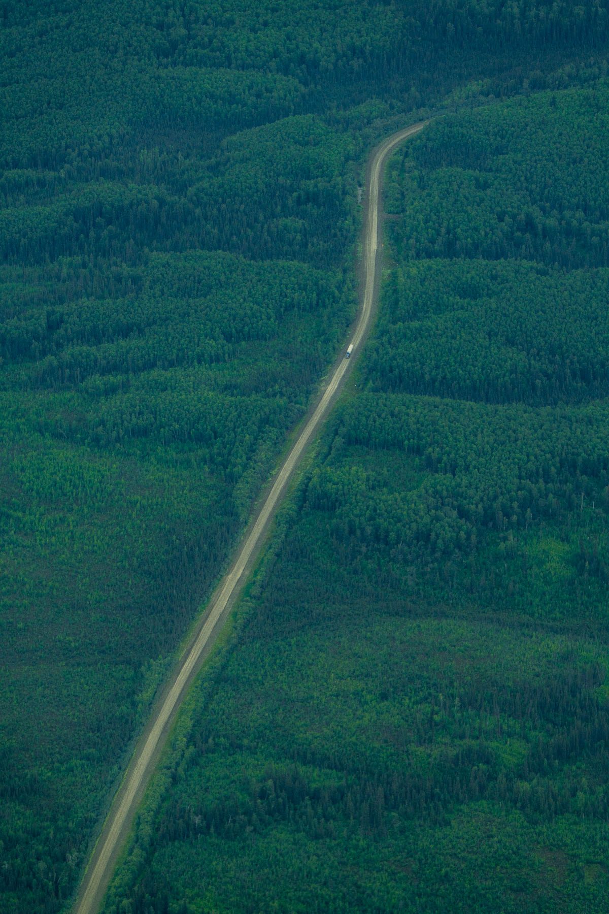
Straight down on an Arctic gravel road. CREDIT: MORE THAN JUST PARKS
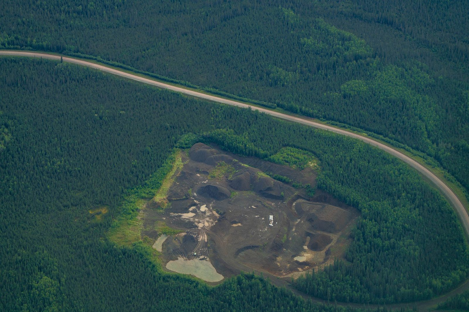
A haul road curving past a stripped material site. The Ambler Road would need 15 million cubic yards of gravel to build and 220,000 more every year to maintain. CREDIT: MORE THAN JUST PARKS
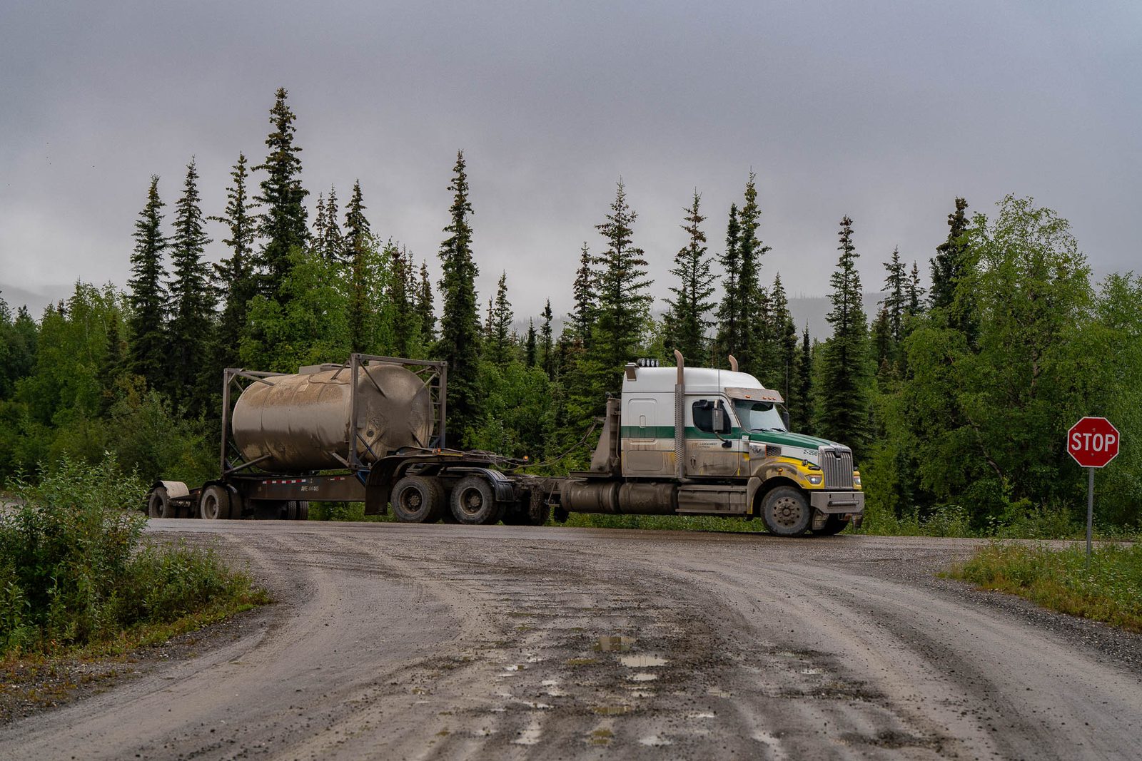
Industrial traffic on a northern gravel road. CREDIT: MORE THAN JUST PARKS
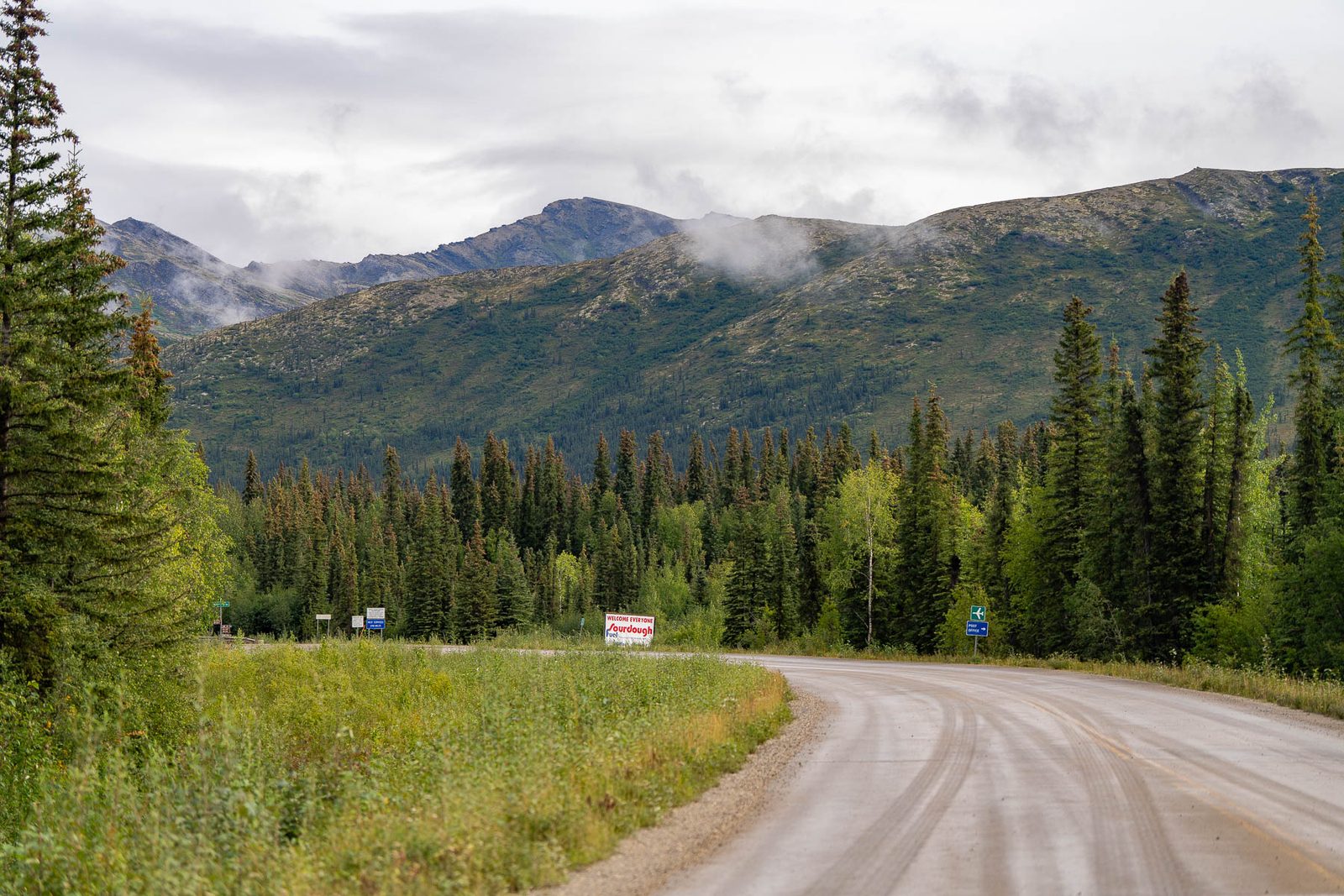
A gravel industrial road from the roadside. CREDIT: MORE THAN JUST PARKS
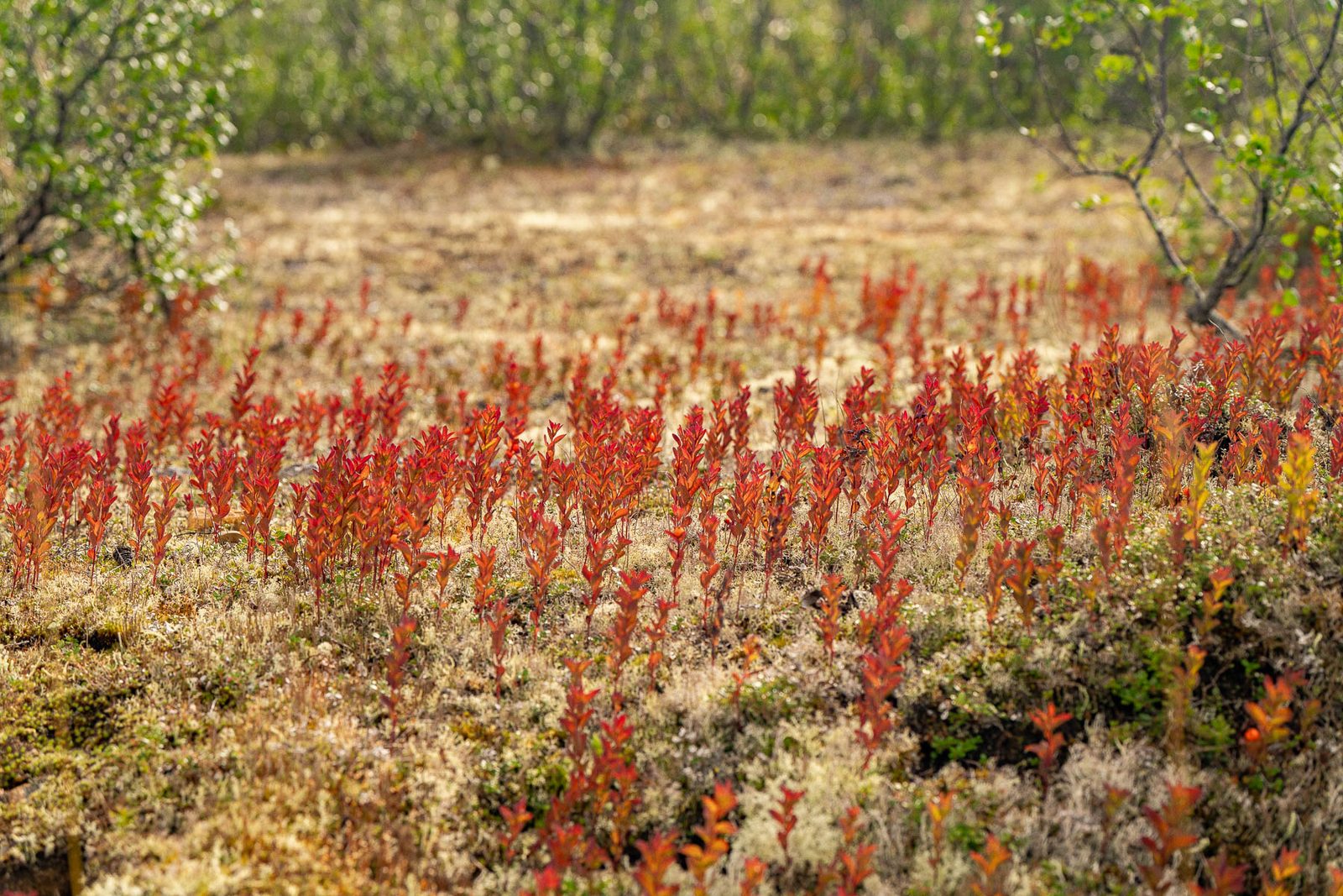
Tundra plants turning at the end of the short season. CREDIT: MORE THAN JUST PARKS
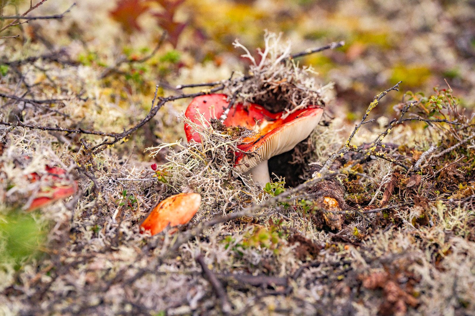
A mushroom in the lichen mat. CREDIT: MORE THAN JUST PARKS
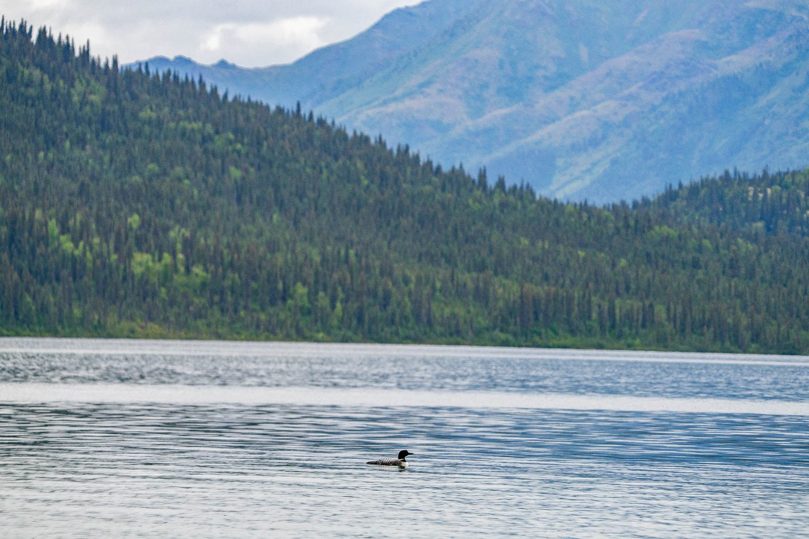
A loon on open water. CREDIT: MORE THAN JUST PARKS
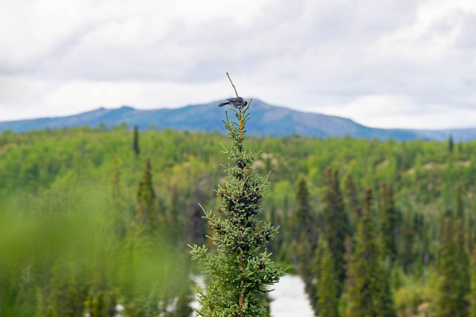
A dragonfly on the tip of a young spruce. CREDIT: MORE THAN JUST PARKS
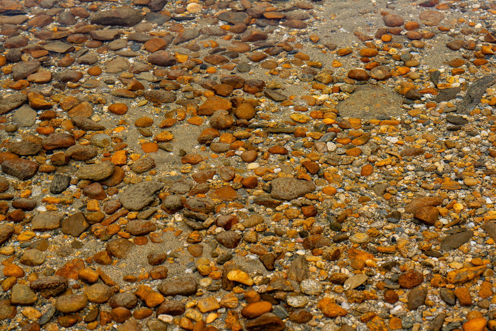
River cobbles. CREDIT: MORE THAN JUST PARKS
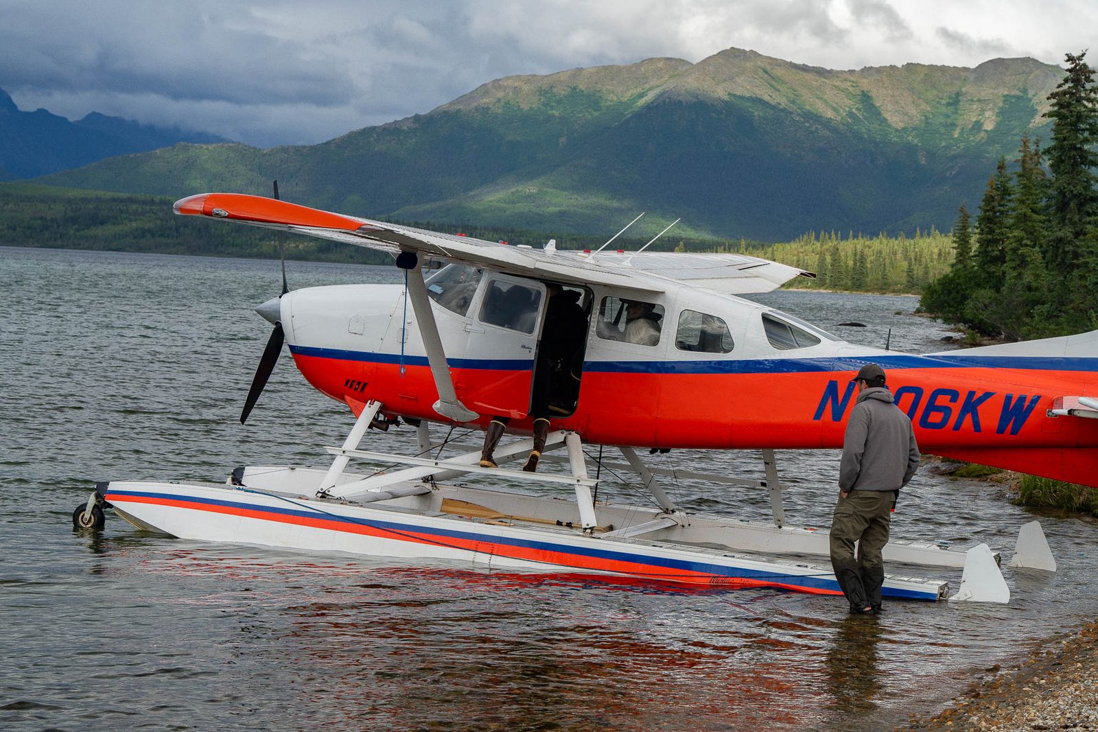
A floatplane on the water. In this country a float or a gravel strip is the only way in. CREDIT: MORE THAN JUST PARKS
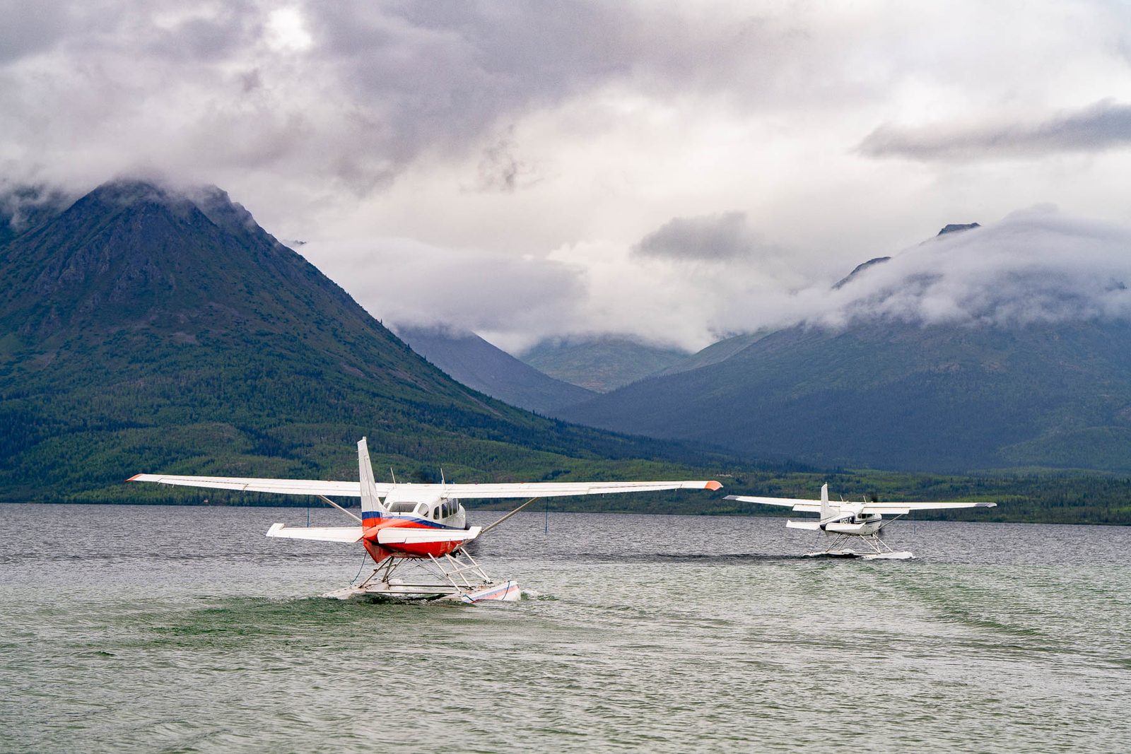
Two floatplanes on a lake under cloud. CREDIT: MORE THAN JUST PARKS
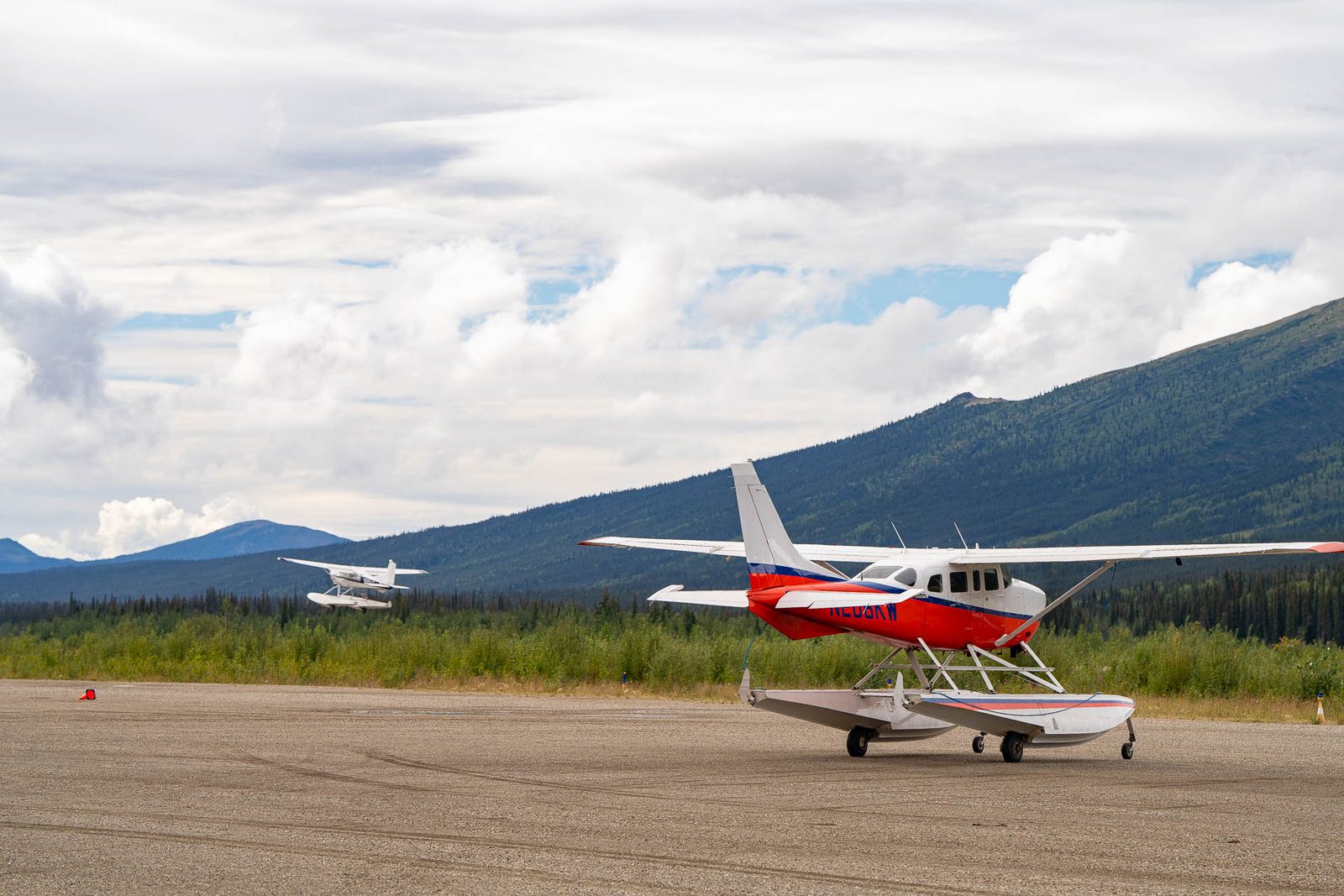
Bush planes on a gravel strip. CREDIT: MORE THAN JUST PARKS
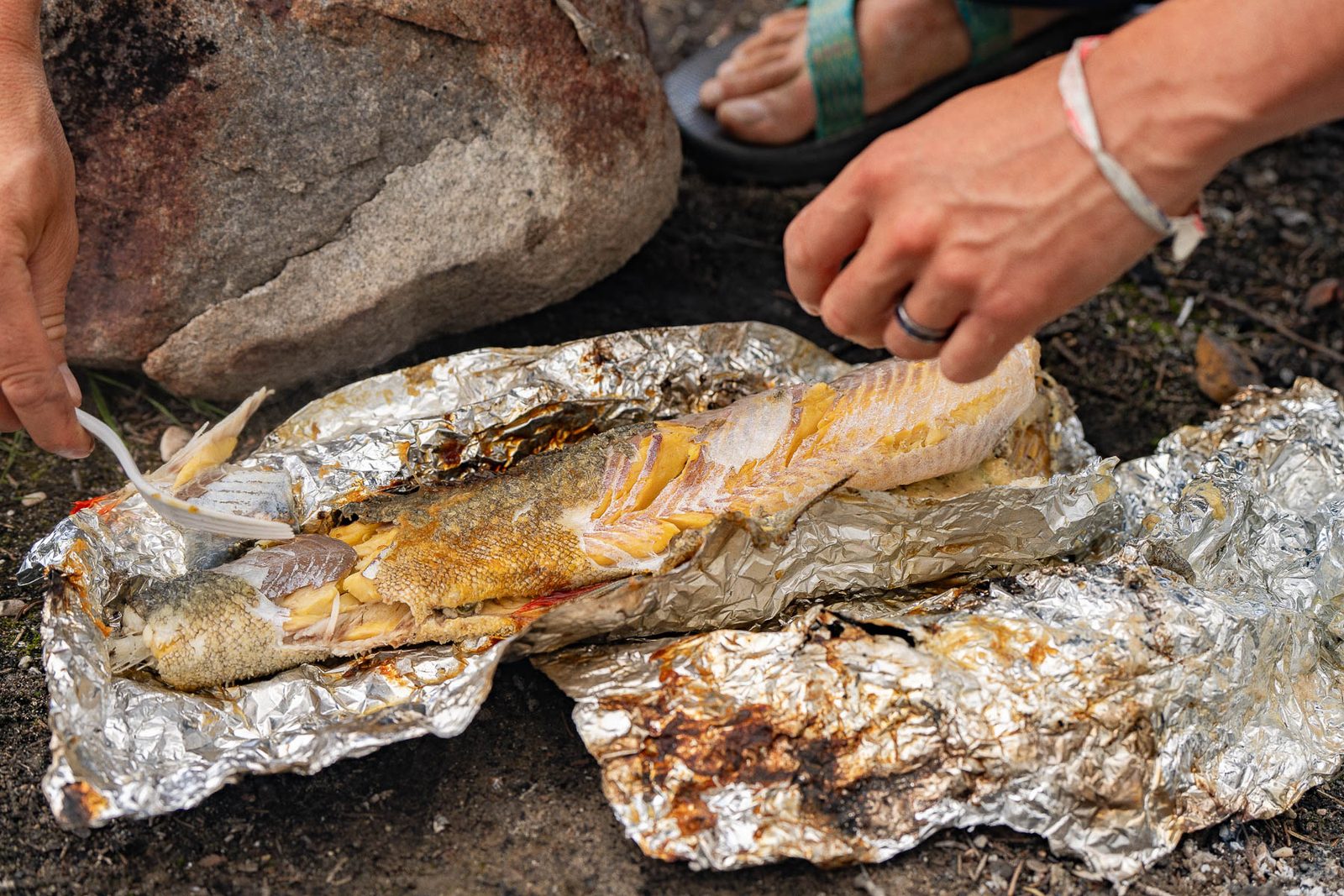
Cooking the catch on a shore fire. CREDIT: MORE THAN JUST PARKS
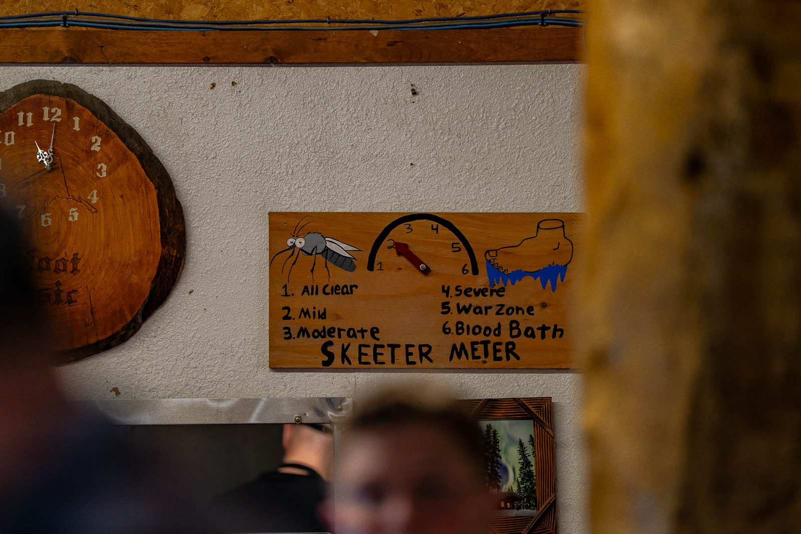
A roadhouse mosquito gauge on the way north. CREDIT: MORE THAN JUST PARKS
Twenty-three more frames from both cameras, the ones that carry the immersive telling of the road.
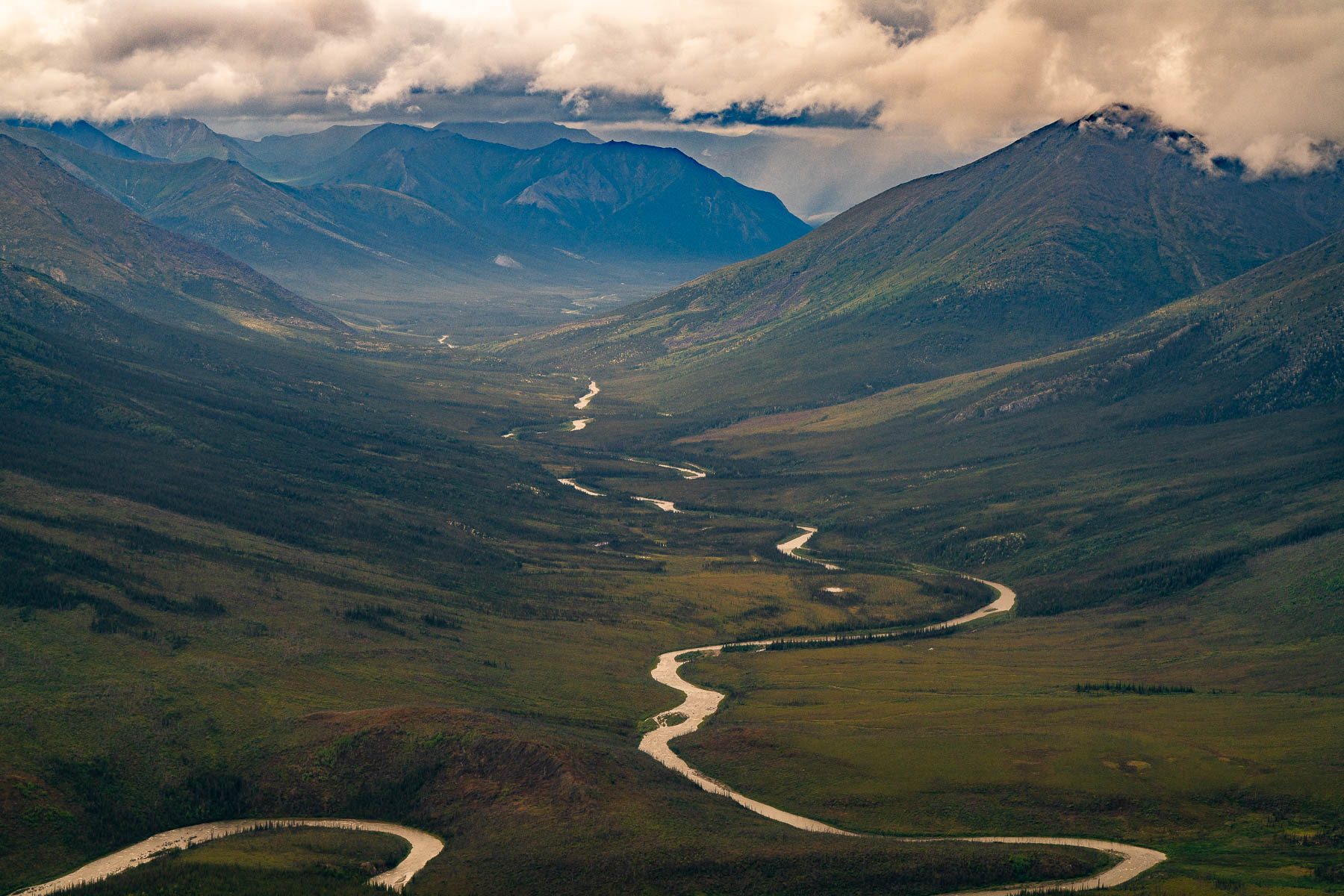
A river winds down a mountain valley toward storm cloud in the Brooks Range. CREDIT: MORE THAN JUST PARKS
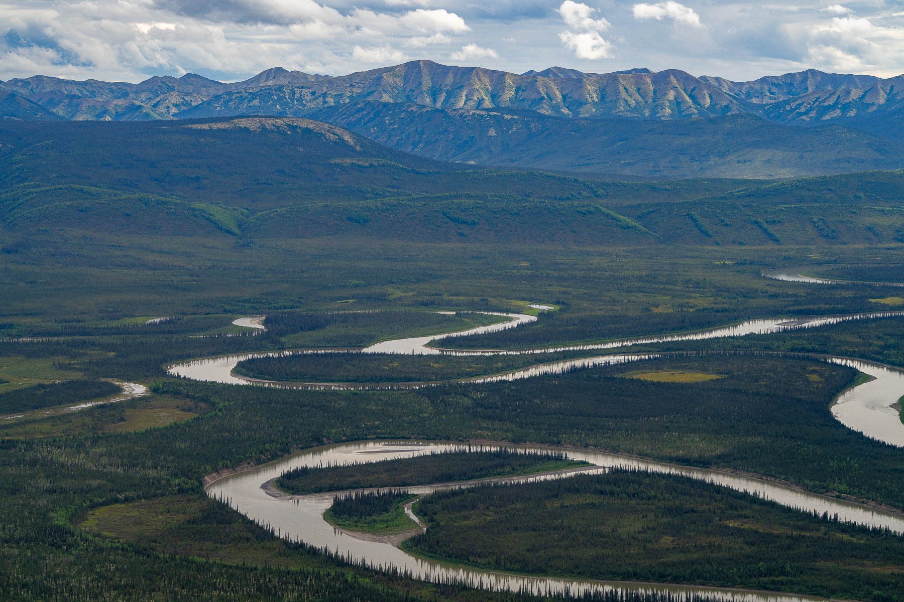
A river loops across a wide valley floor below a long mountain range. CREDIT: MORE THAN JUST PARKS
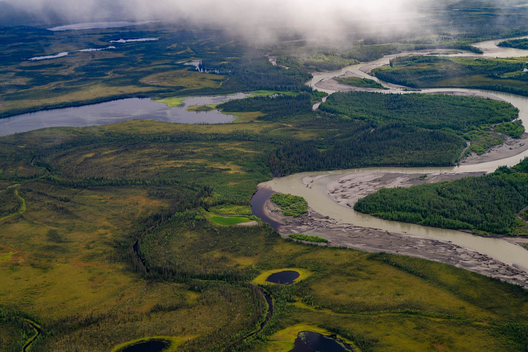
A wide river looping through tundra and spruce under low cloud. CREDIT: MORE THAN JUST PARKS
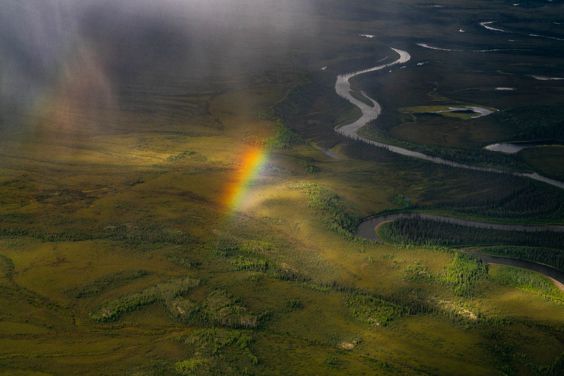
A rainbow falls onto the tundra beside a winding river. CREDIT: MORE THAN JUST PARKS
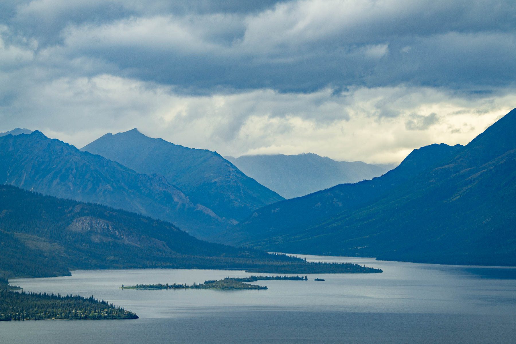
A long mountain lake below storm cloud in the Brooks Range. CREDIT: MORE THAN JUST PARKS
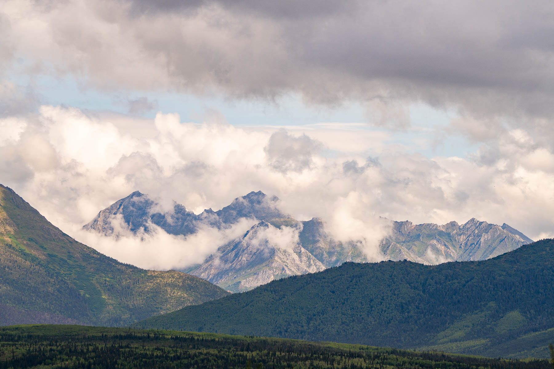
Jagged peaks half hidden in cloud beyond a green valley. CREDIT: MORE THAN JUST PARKS
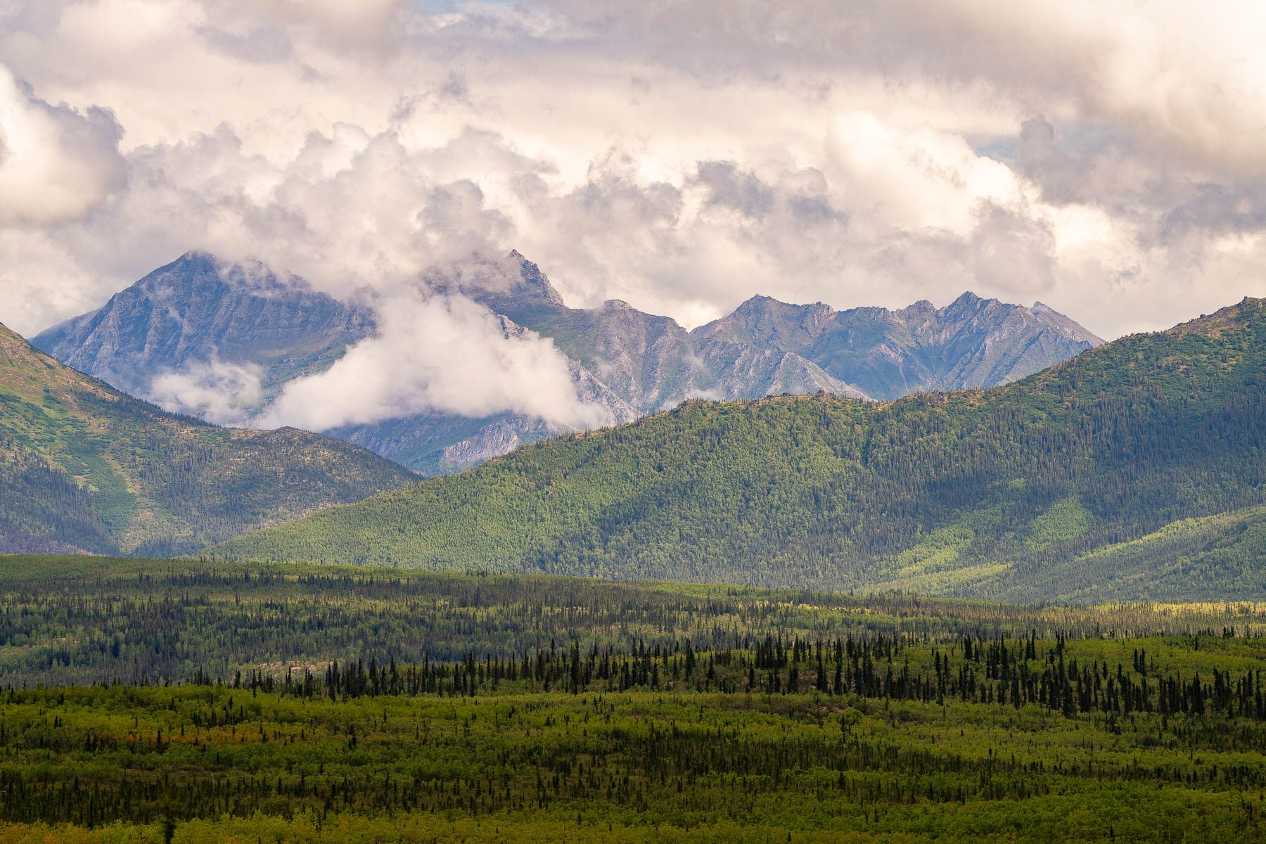
Cloud-wrapped peaks rising beyond green lowland. CREDIT: MORE THAN JUST PARKS
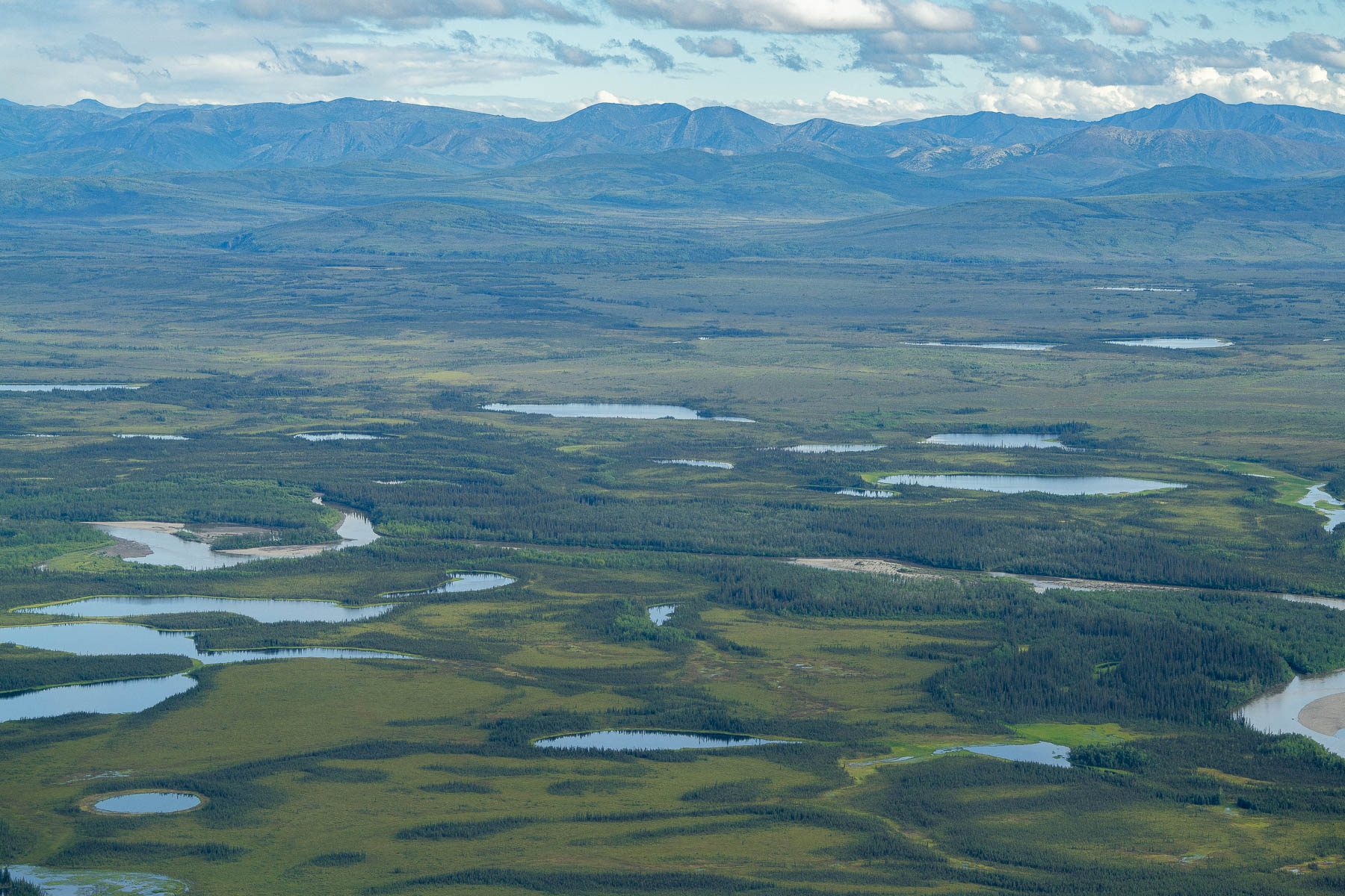
A lowland plain scattered with lakes below distant mountains. CREDIT: MORE THAN JUST PARKS
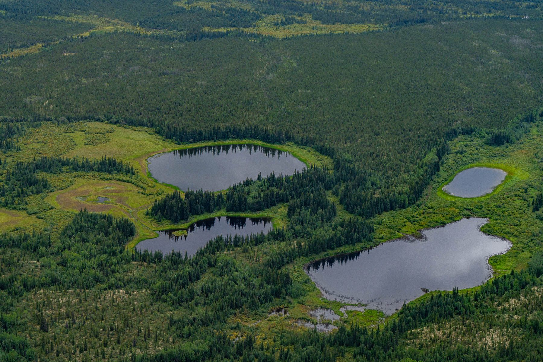
Four small ponds set into spruce forest, from the air. CREDIT: MORE THAN JUST PARKS
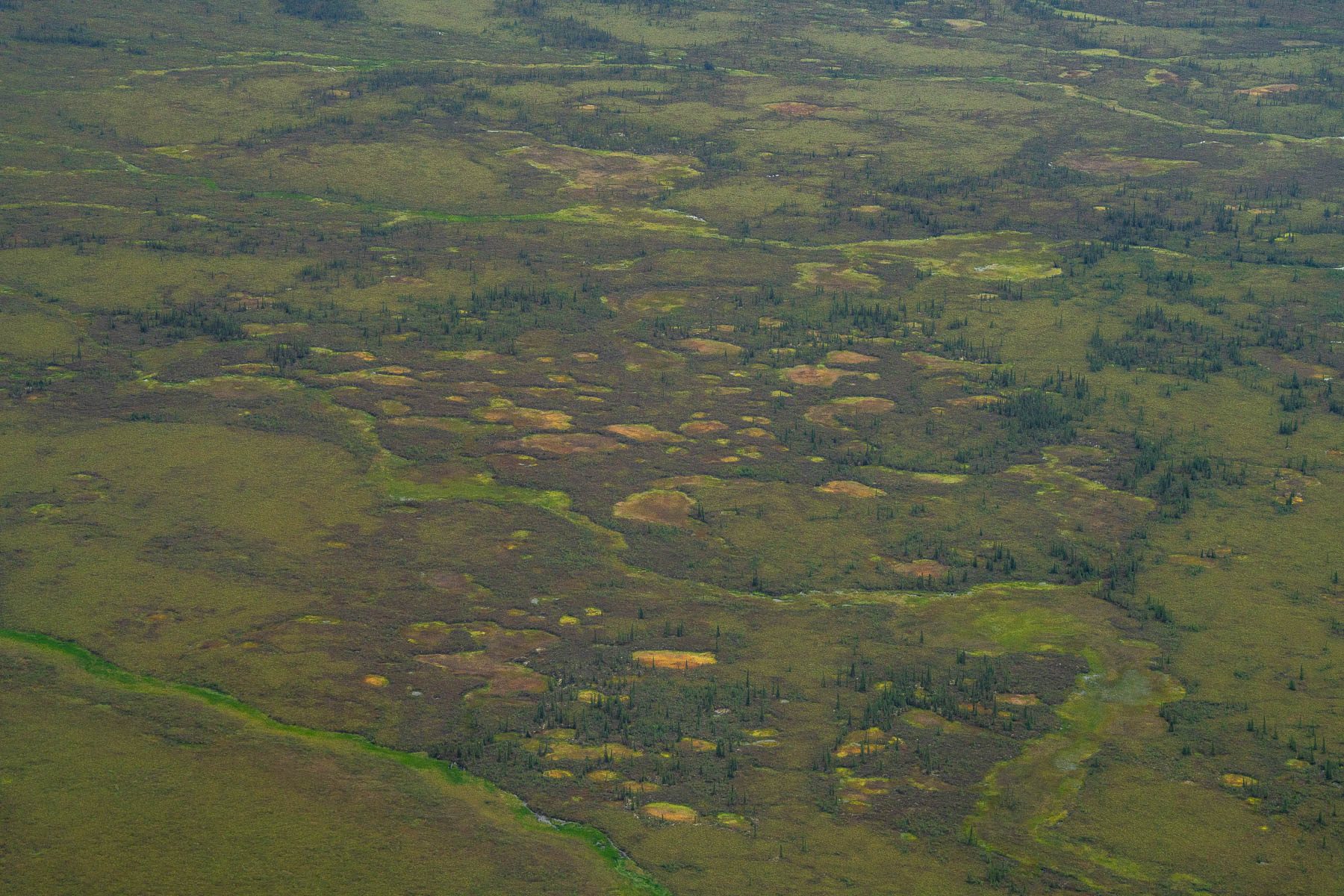
Lowland tundra dotted with small ponds, from the air: the ground a road would be built on. CREDIT: MORE THAN JUST PARKS
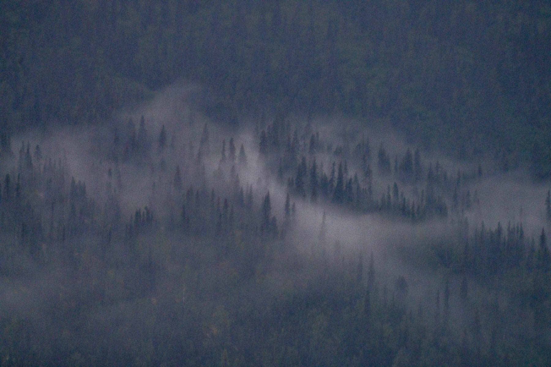
Low cloud drifting through spruce on a mountainside. CREDIT: MORE THAN JUST PARKS
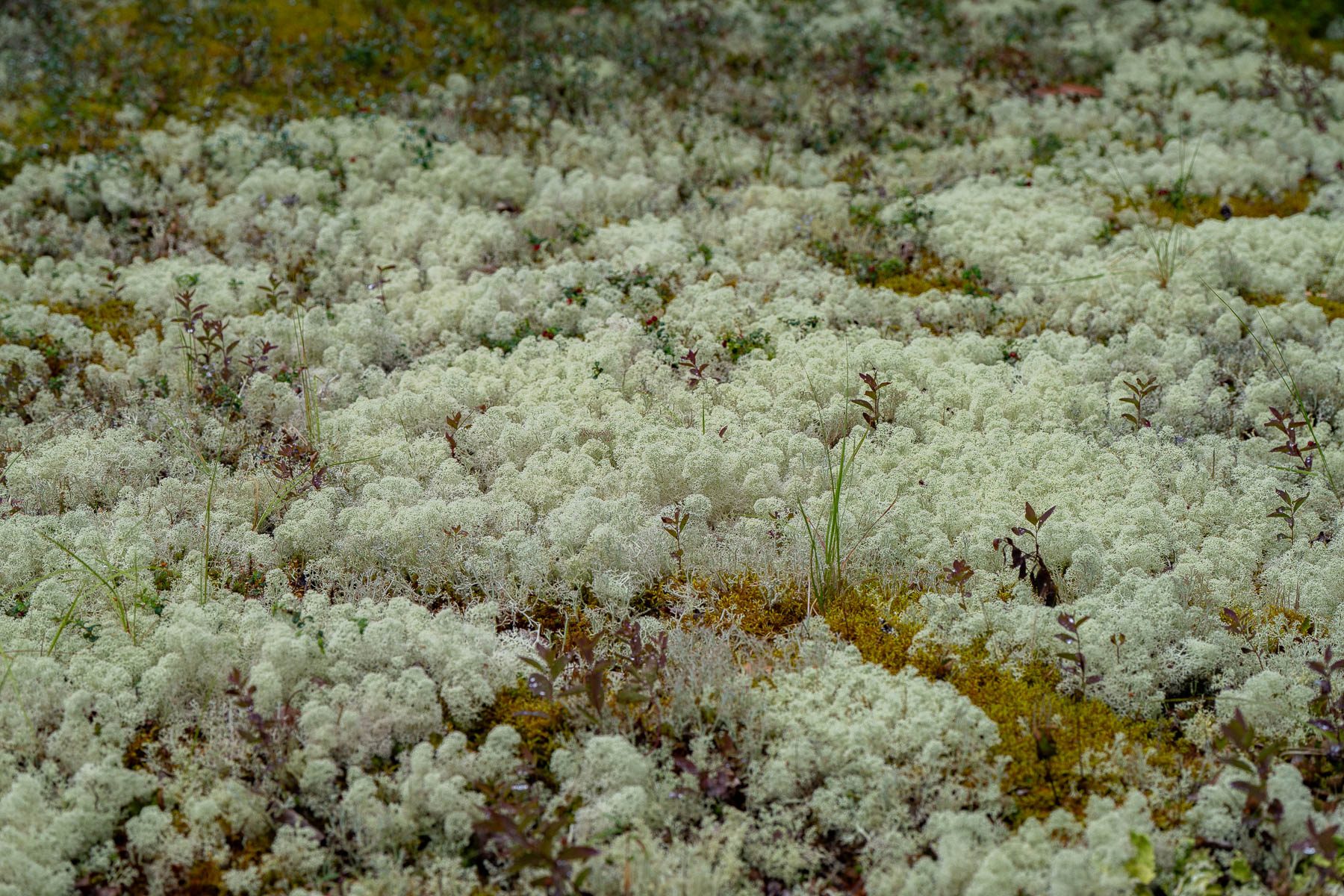
A carpet of pale lichen on the tundra floor. CREDIT: MORE THAN JUST PARKS
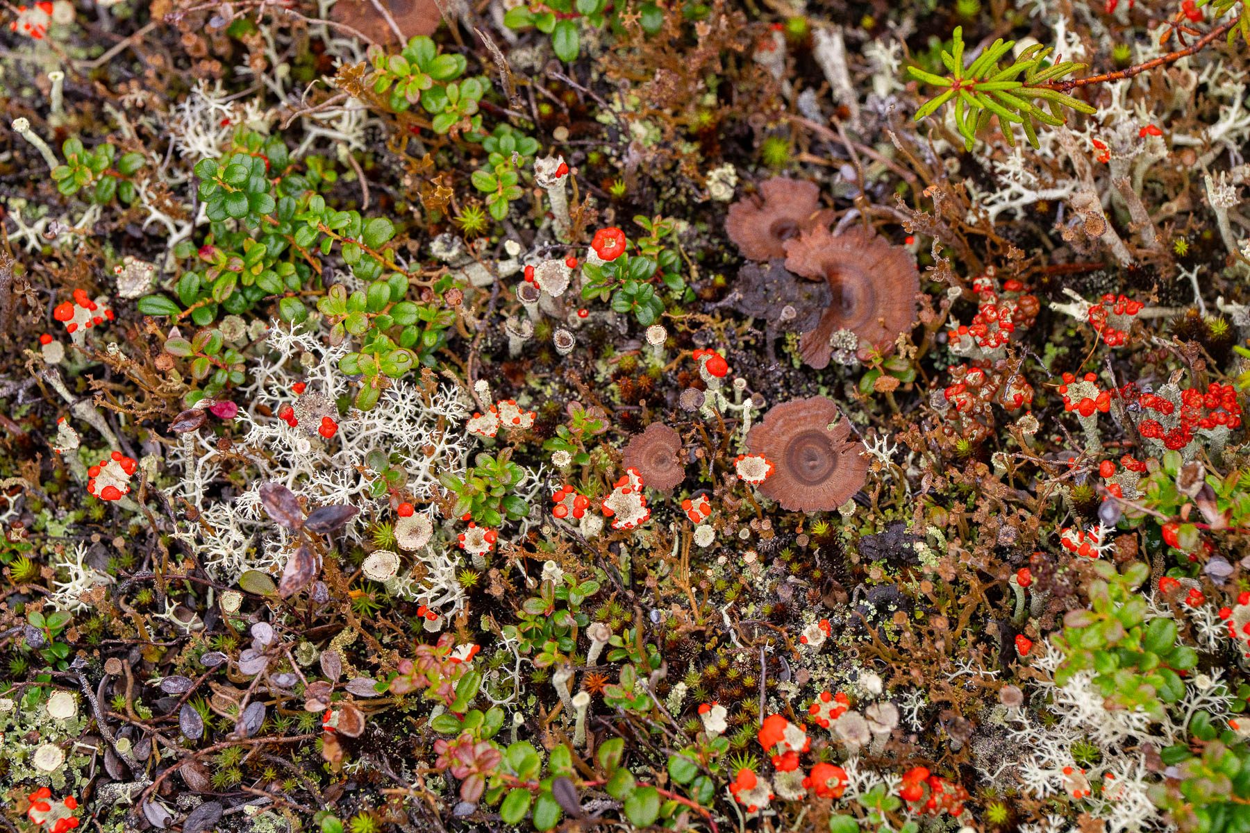
Tundra ground cover: red berries, lichen and small mushrooms. CREDIT: MORE THAN JUST PARKS
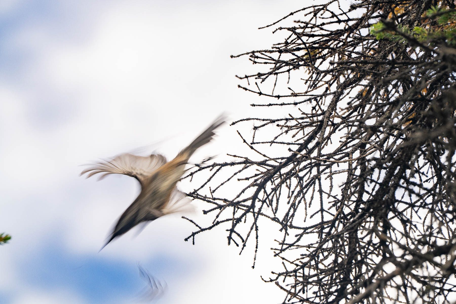
A small bird taking off from a bare spruce branch. CREDIT: MORE THAN JUST PARKS
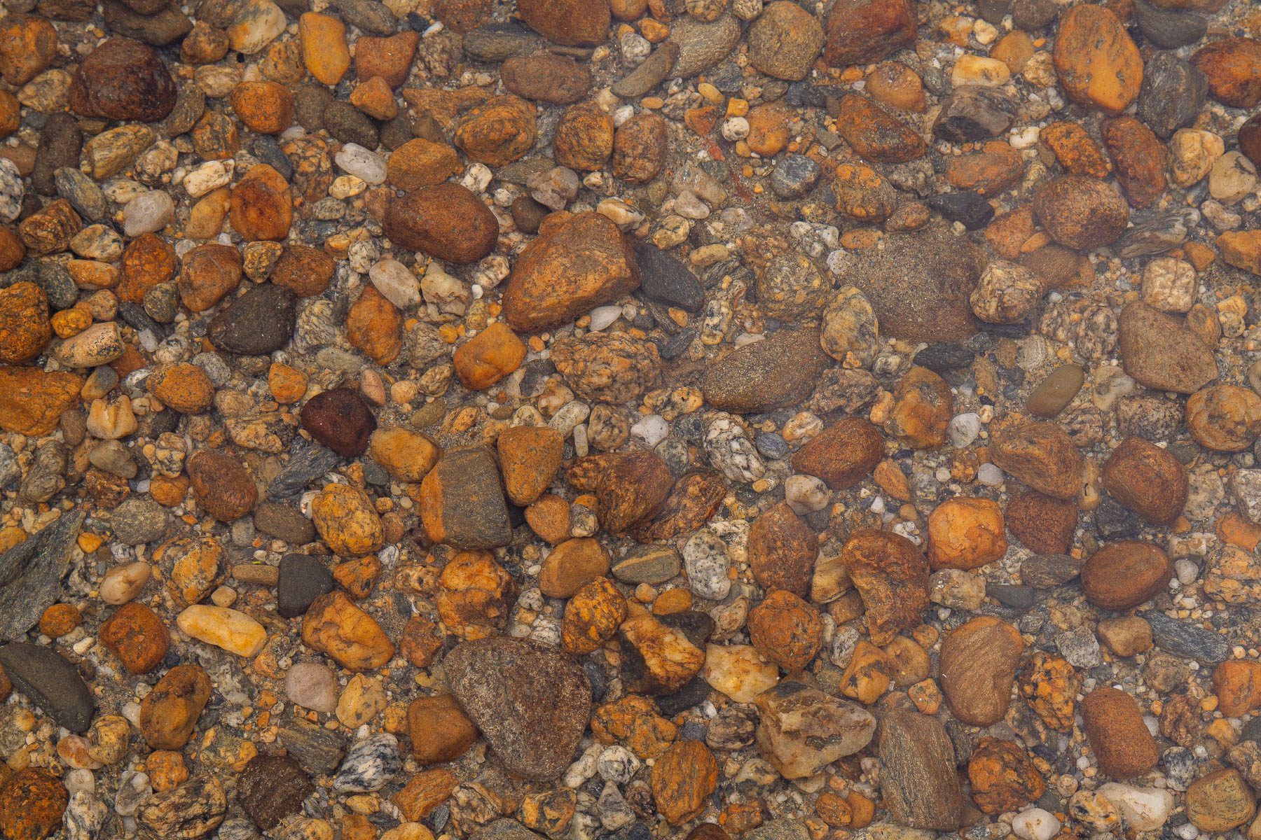
River gravel, close up. CREDIT: MORE THAN JUST PARKS
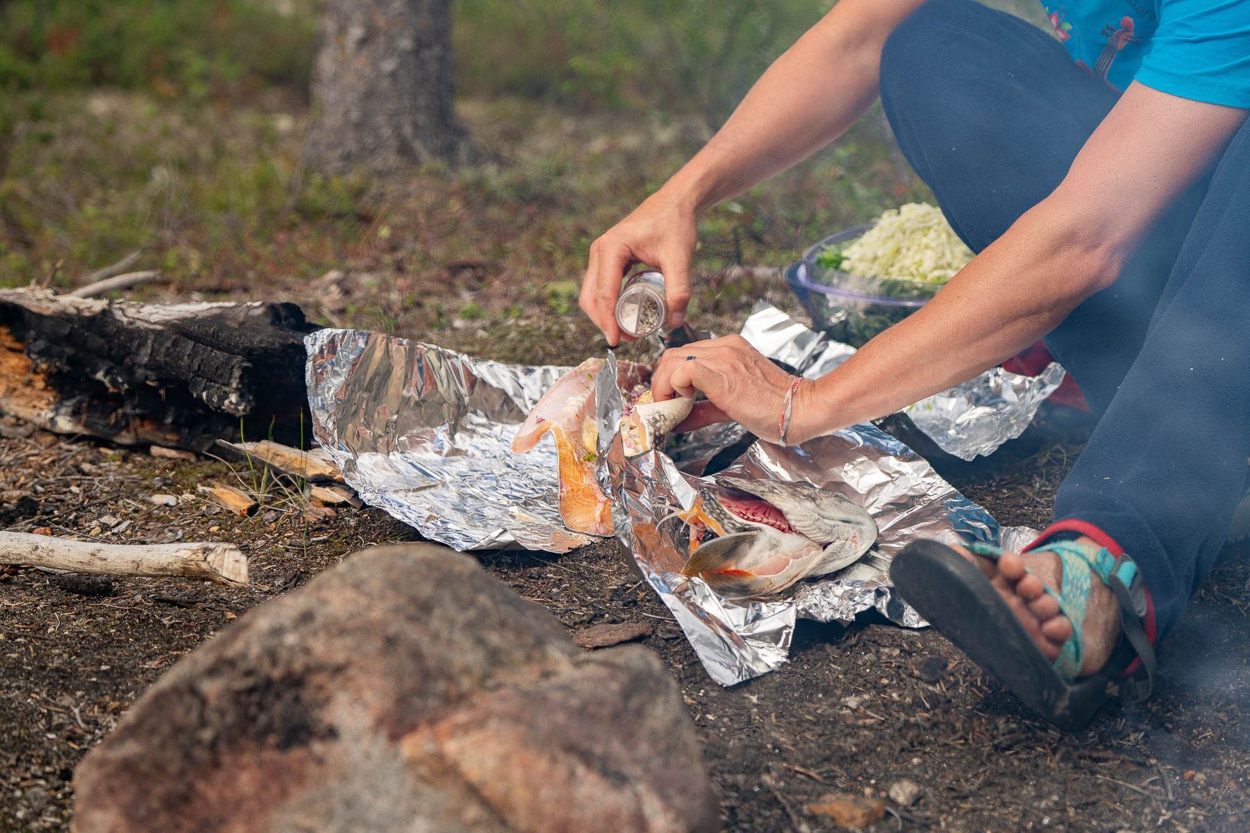
Fish cooked in foil on the coals of a shore fire. CREDIT: MORE THAN JUST PARKS
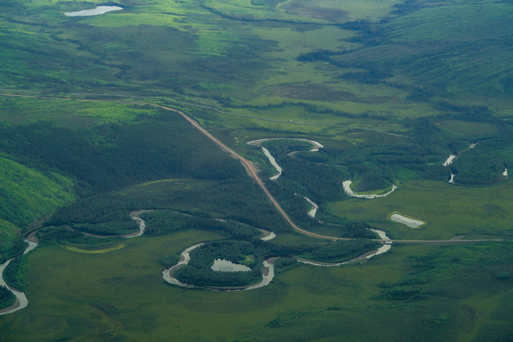
A gravel road crossing a meandering river and its oxbow lakes in interior Alaska. Every stream is a crossing. CREDIT: MORE THAN JUST PARKS
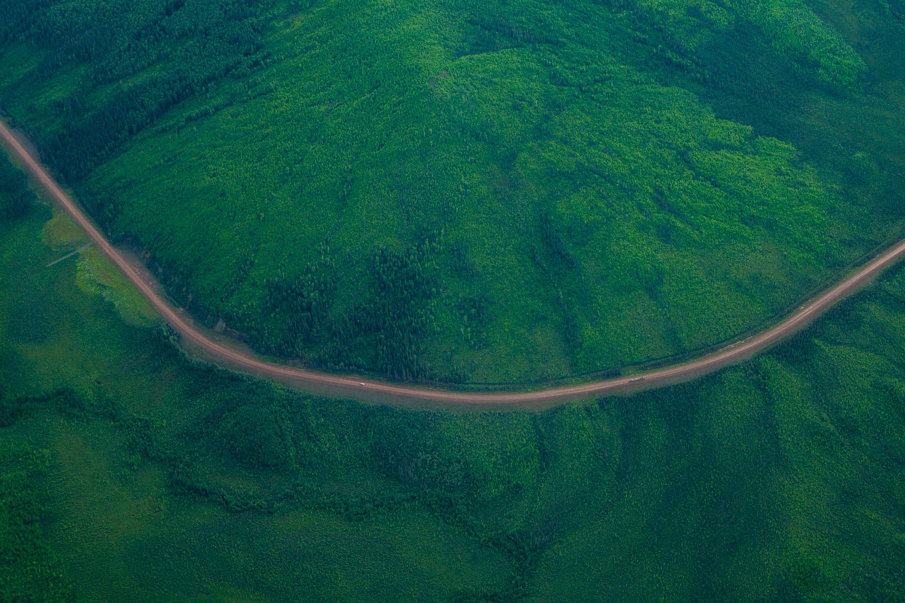
A gravel road curving across a green hillside, from the air. CREDIT: MORE THAN JUST PARKS
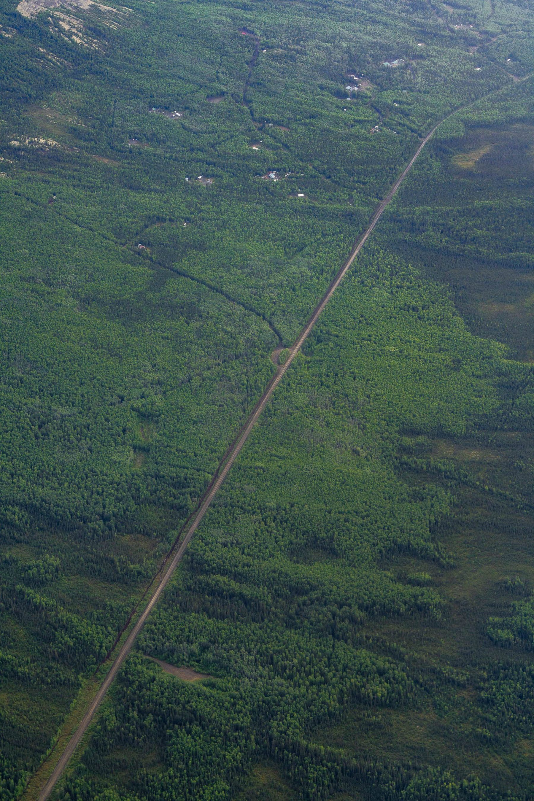
A road running dead straight through spruce and wetland, from the air. CREDIT: MORE THAN JUST PARKS
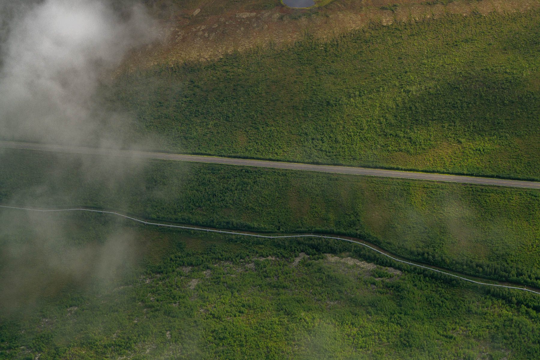
The haul road and the pipeline through forest, seen through breaking cloud. CREDIT: MORE THAN JUST PARKS
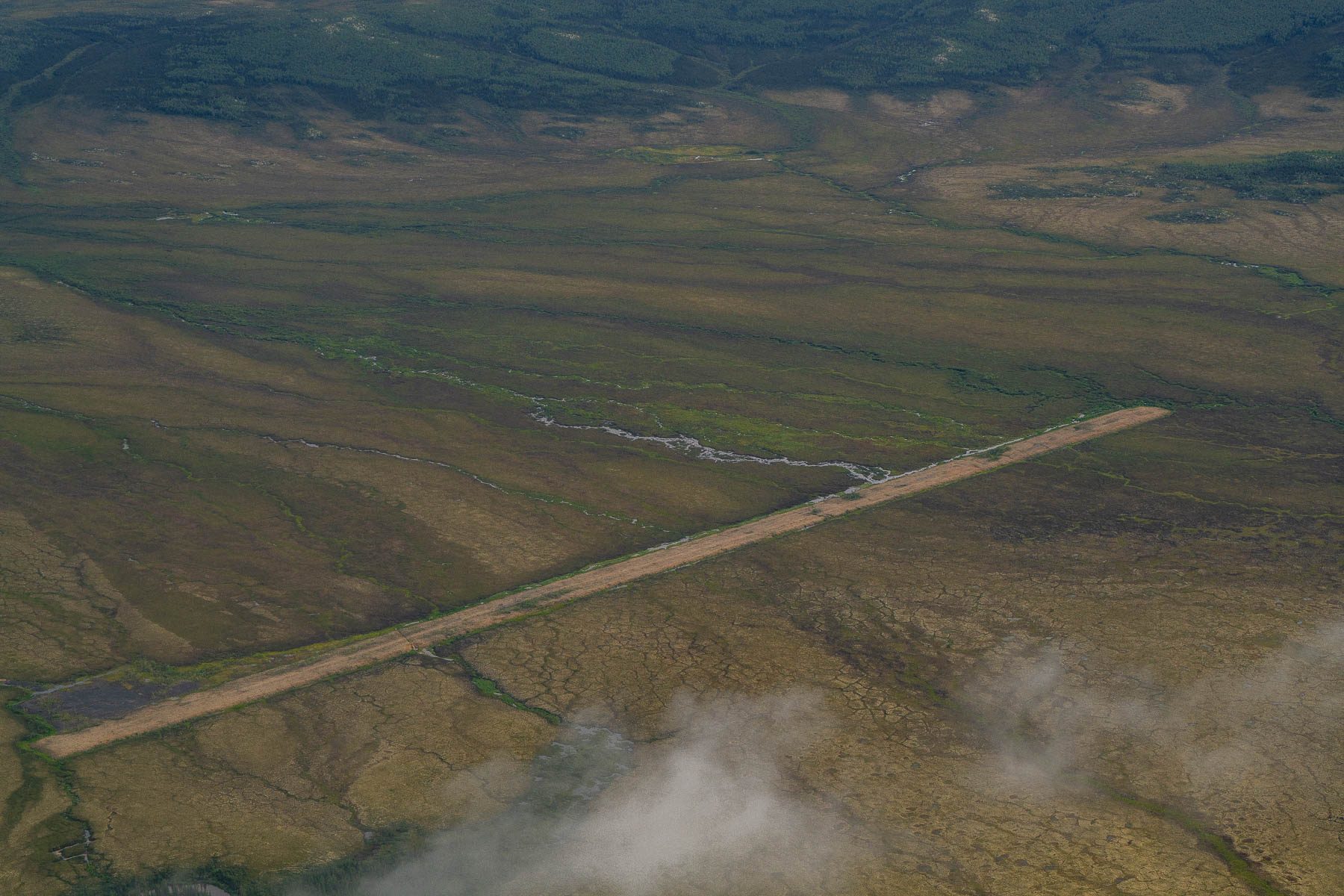
A gravel airstrip laid in a straight line across open tundra. CREDIT: MORE THAN JUST PARKS
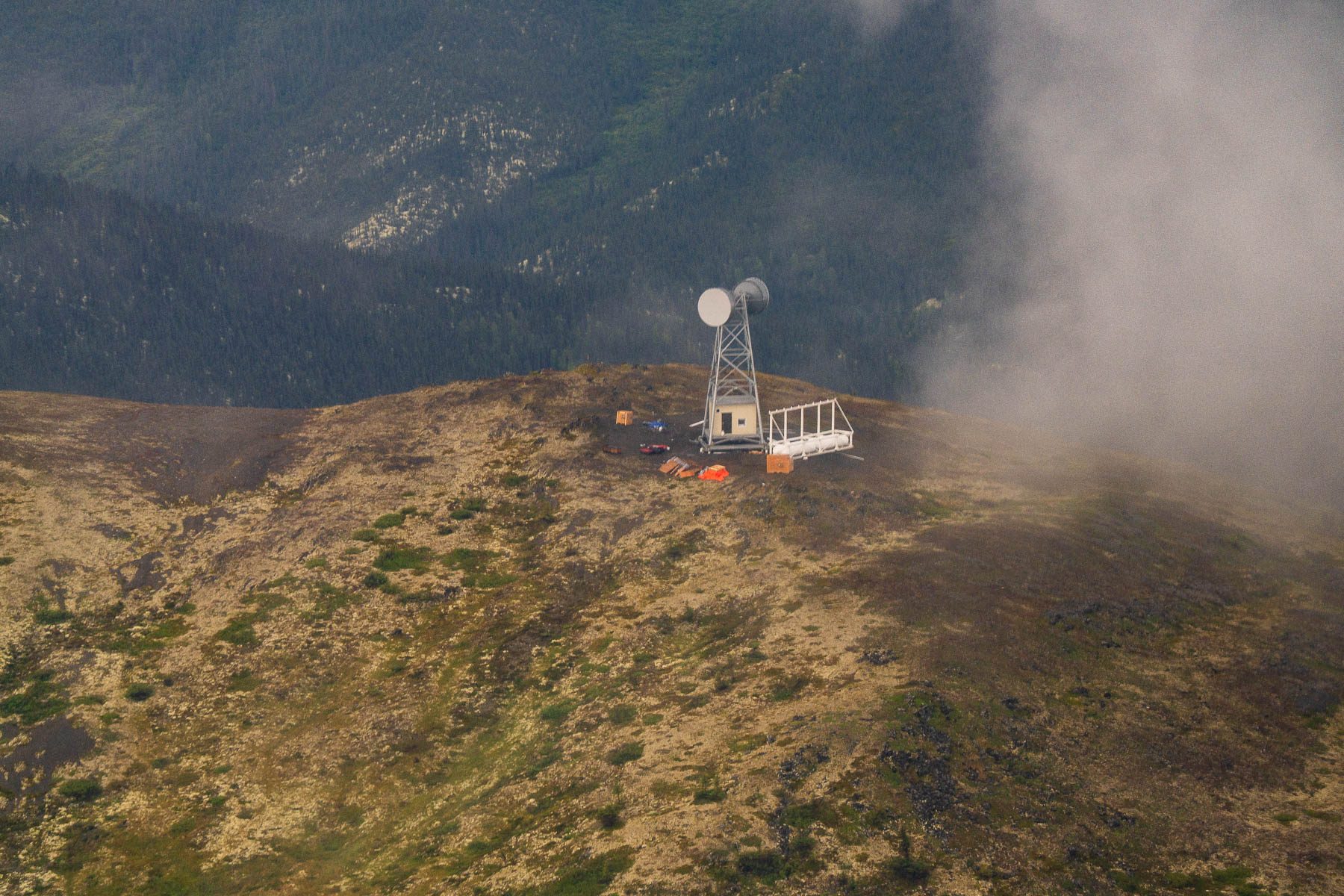
A communications tower on a ridgetop in cloud. The Ambler Road plan calls for twelve. CREDIT: MORE THAN JUST PARKS
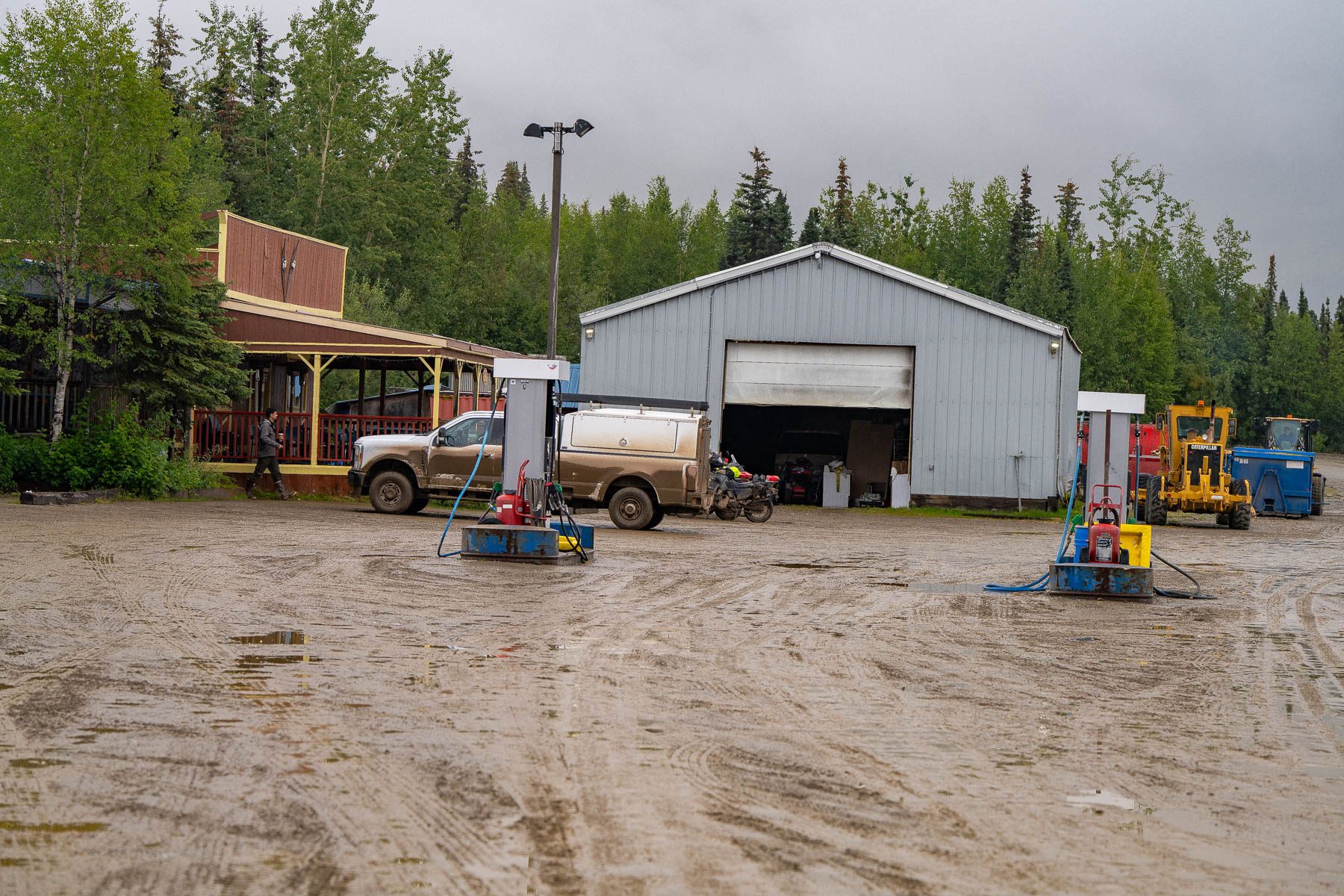
Fuel pumps and a steel garage in the mud yard of a roadhouse on the haul road. CREDIT: MORE THAN JUST PARKS
Public domain, made by NPS staff in Gates of the Arctic National Park and Preserve. We keep these here because they cover subjects we do not yet have, above all caribou. Credit as noted per image, not to us.
These photographs are public domain, made by NPS staff in Gates of the Arctic National Park and Preserve. Credit as noted per image. Click any image to open the full-resolution file.
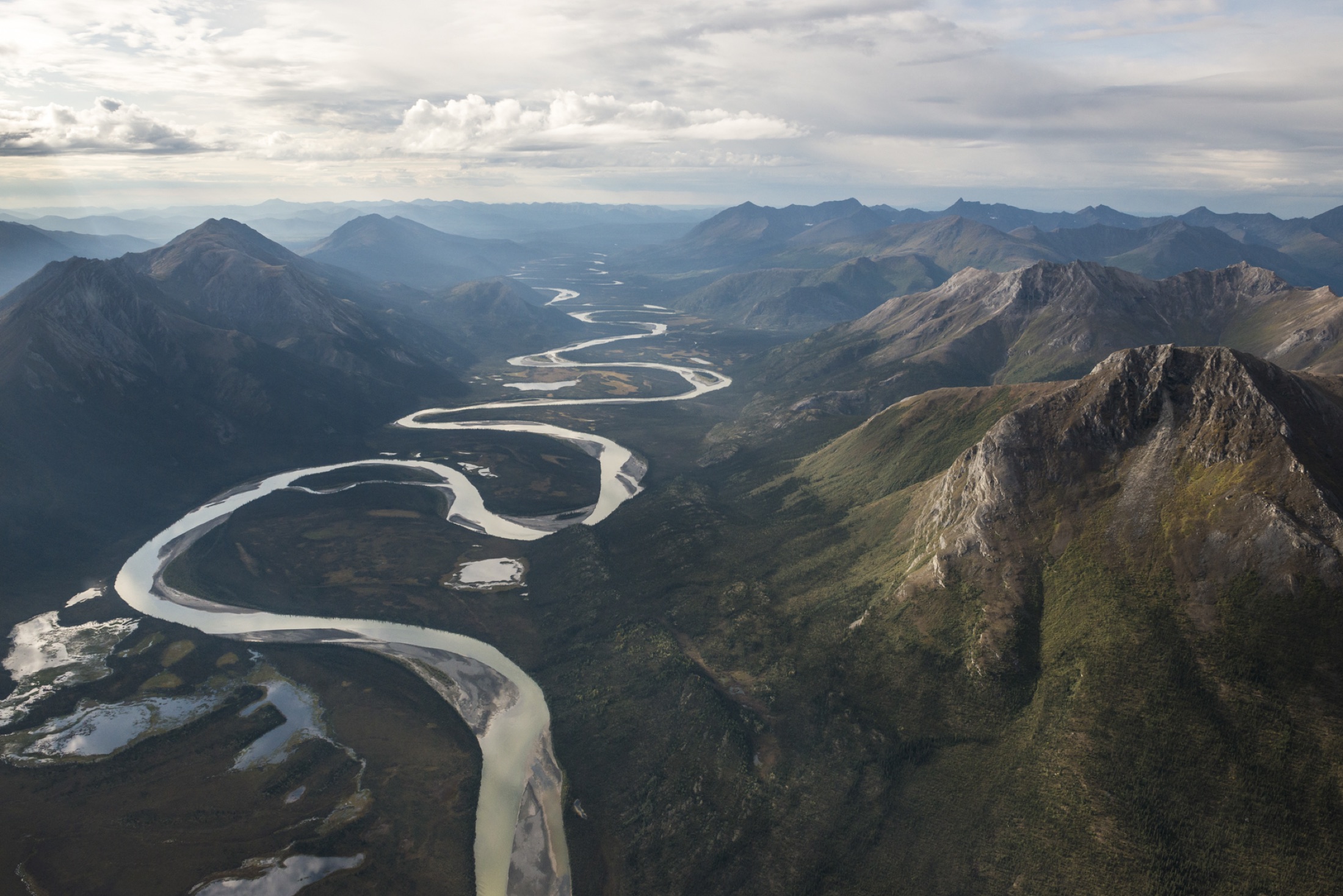
Alatna River aerial. The road would bridge the Alatna. CREDIT: NPS / SEAN TEVEBAUGH
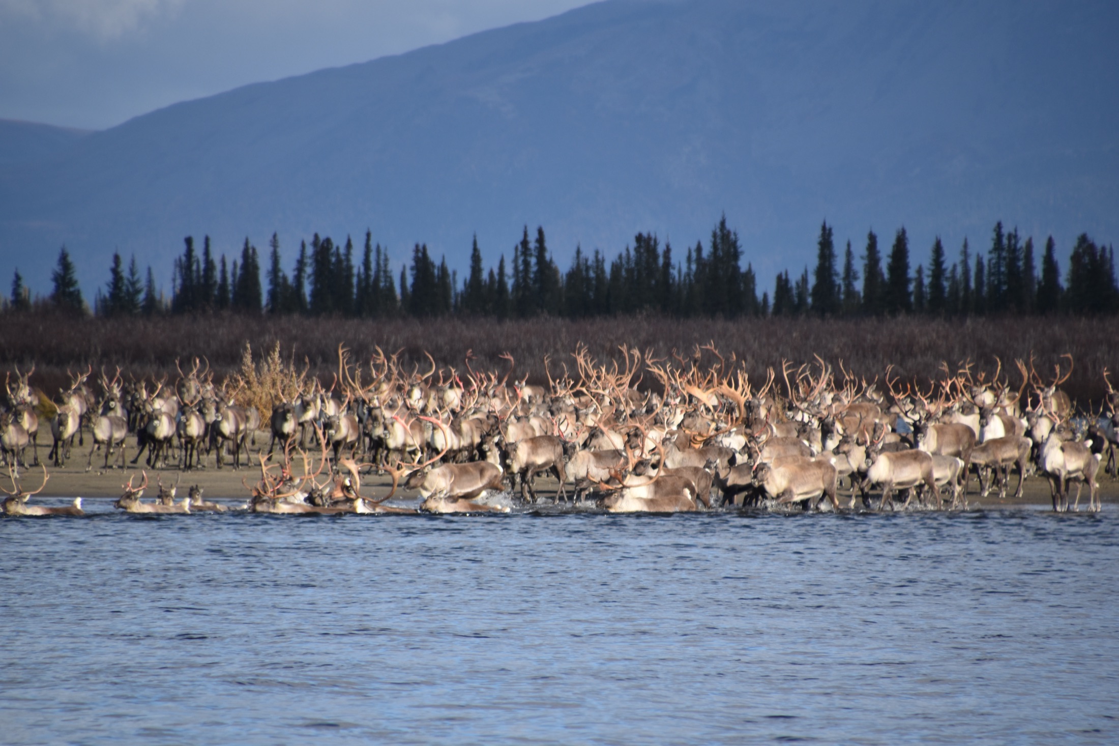
Western Arctic herd crossing the Kobuk on migration. CREDIT: NPS / KYLE JOLY
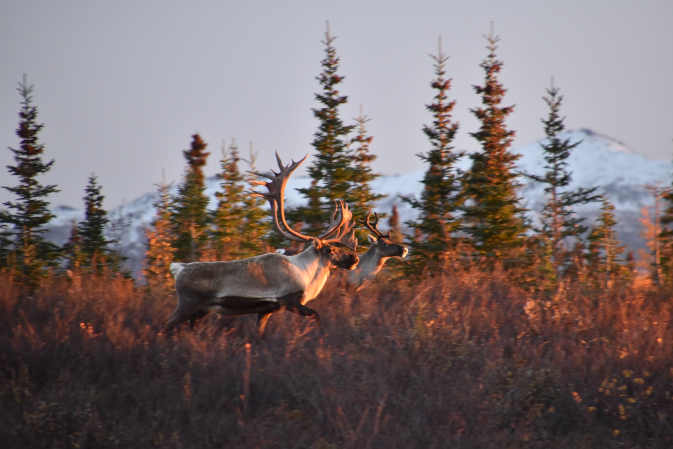
Bulls at sunset, Gates of the Arctic. CREDIT: NPS / KYLE JOLY
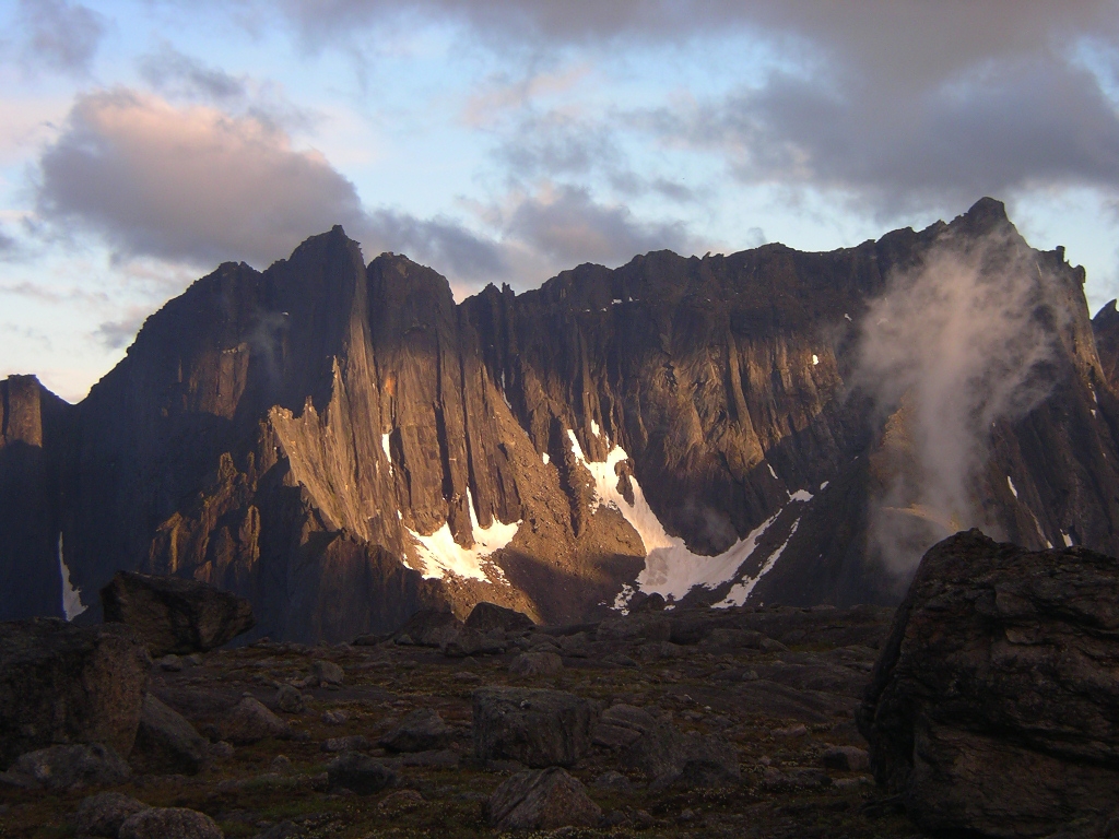
Arrigetch Peaks alpenglow. CREDIT: NPS
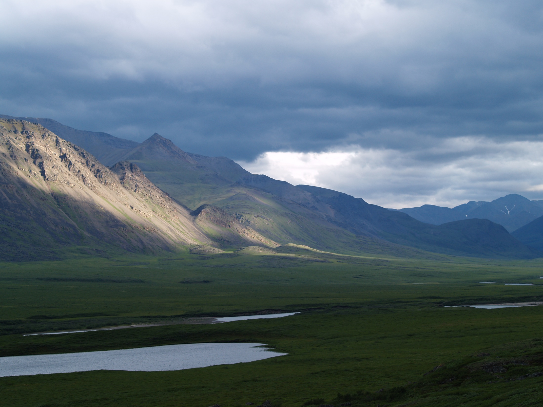
Killik River valley. CREDIT: NPS / CHRISTOPHER HOULETTE
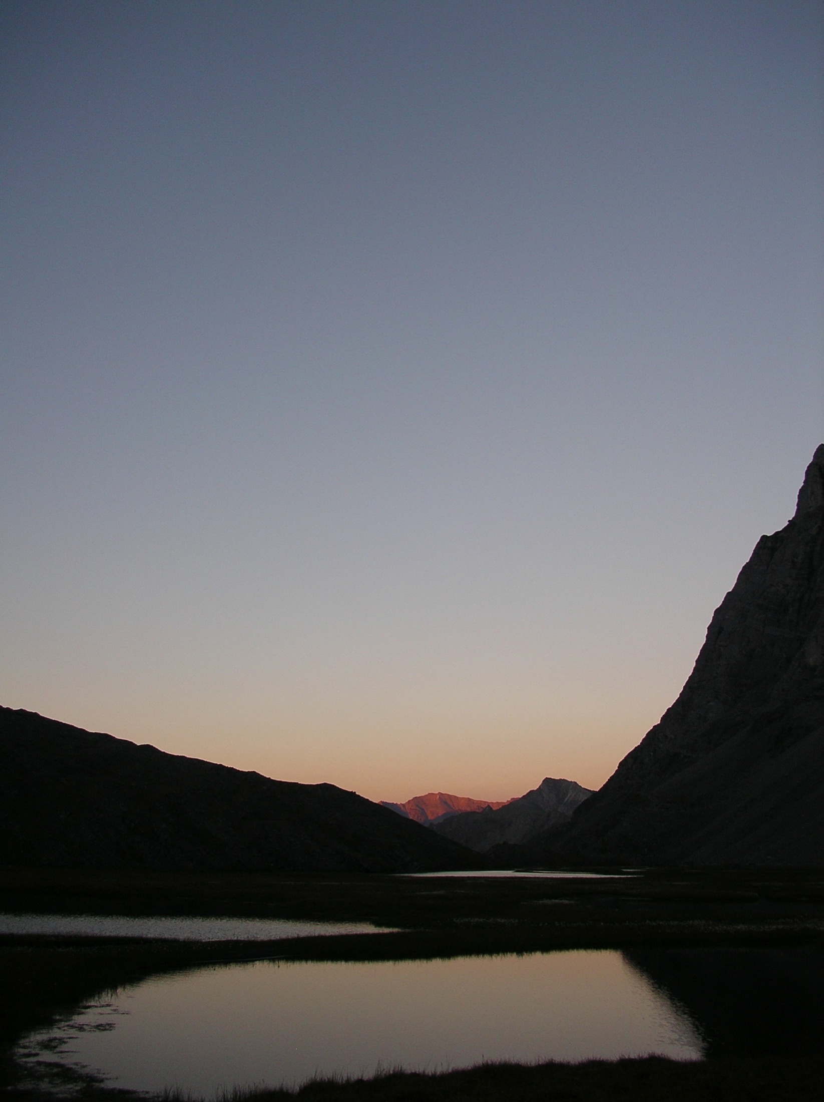
Evening light, Gates of the Arctic. CREDIT: NPS
Yes, with a license. Rates and requests are at morethanjustparks.com/licensing. Licensed use carries a visible credit, "More Than Just Parks," and a link to morethanjustparks.com/ambler-road. No resale, no AI training.
Terms on this page. Questions to ask@morethanjustparks.com.In the Ambler Road corridor country of the Brooks Range in August 2026, by More Than Just Parks. The maps and figures in the labeled federal section are public domain agency exhibits, reproduced unaltered and cited where they appear.
Captions and credits on this page.Yes, they're public domain. Credit the National Park Service and the photographer as noted under each one.
Terms on this page.