 MORE THAN JUST PARKS
PART III · WHAT IT WOULD COST CHAPTER 2 The chain
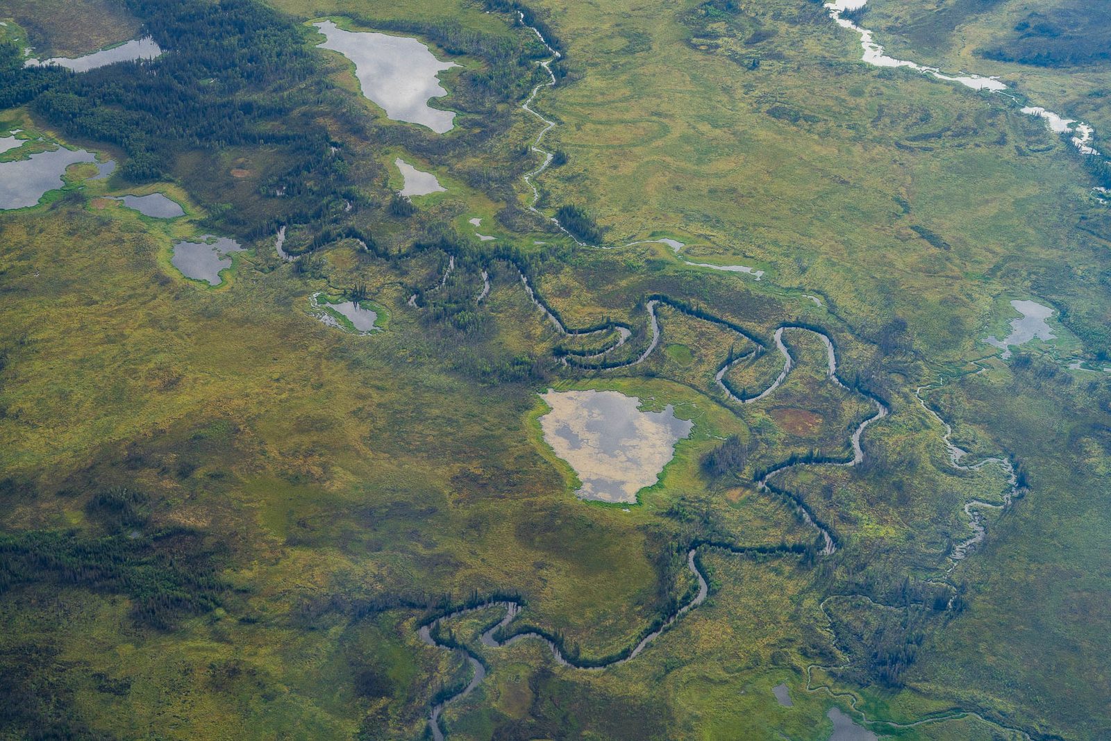
The road would be built on frozen ground that nobody has mapped at a useful scale, using gravel from pits the applicant's own file rates for asbestos, in a mountain range where the rivers have already started running orange.
What this chapter finds
Every acre of this road's footprint sits on mapped permafrost. The supplemental environmental review breaks it out, and the breakdown is the first place the chosen route turns out to be the worse one.
| Ground under the footprint | Alternative A, the chosen route | Alternative C, rejected |
|---|---|---|
| Mountainous, continuous permafrost | 3,510 acres, 78% | 283 acres, 3% |
| Lowland and upland, moderately thick to thin | 667 acres, 15% | 3,662 acres, 45% |
| Lowland and upland, discontinuous | 347 acres, 8% | 1,234 acres, 15% |
| Mountainous, discontinuous | 0 | 3,031 acres, 37% |
| Total footprint | 4,524 acres | 8,210 acres |
2024 Final Supplemental EIS, Appendix D, Table 2, read from the source document. The EIS counts the moderately thick to thin band as continuous "for summation purposes", which is how 78 percent becomes 92 percent once the two bands are added. The mapping is georeferenced from Ferrians 1965.
Two federal numbers, and we report both
The 2020 Final EIS comparison table gives 4,177 acres, 92 percent of Alternative A on continuous permafrost. The 2024 supplemental splits the same ground into 3,510 acres, 78 percent, of mountainous continuous permafrost and 667 acres of moderately thick to thin permafrost, which sums to the same 4,177 acres and 92 percent. The two reviews agree.
The permafrost layer under this analysis is USGS Map I-445, published by Ferrians in 1965, at a scale of 1:2,500,000. At that scale the whole 211-mile route is about five inches long. The environmental review says so plainly: "Detailed permafrost mapping of the project is not available, and regional mapping relied on decades old data."
Two parties told the government the map is wrong, and neither of them is an opponent of mining.
The environmental review calls this "warm" permafrost, as against the cold permafrost of the Arctic Slope. The ground is close to the edge, and the only map anyone has is too coarse to show where.
The Army Corps' own Clean Water Act permit puts a number on the exposure: special condition 13 requires the full embankment depth without first building a pioneer road, because "approximately 60 percent of the Alternative A alignment is estimated to be in in [sic] areas with thaw-sensitive permafrost soils or emergent wetlands."
The answer to building on frozen ground is gravel, three to eight feet of it, and the same two sentences appear in the 2020 review, the 2024 supplement and the record of decision:
"The gravel roadway embankment is proposed to be 3 to 8 feet thick to provide additional insulation to underlying soils. However, gravel material absorbs more solar radiation than natural vegetation and could lead to increased permafrost thaw, especially on the south face of east-west roadway alignments." 2024 Record of Decision, and the same language in the Final Supplemental EIS
An east-west road across the southern Brooks Range is exactly the alignment that sentence describes. And the agency's conclusion isn't that the problem is solved:
"Changes to the natural thermal regime cannot be avoided; however, impacts would be minimized by using appropriate fill material and embankment designs and construction approaches." 2024 Final Supplemental EIS
We quote the second clause because it's the agency's answer and truncating it would be dishonest. The mitigation menu that follows is embankment insulation, air convection embankment, thermosyphons, sunsheds, snowsheds and air ducts, assessed as "likely to be mostly, but not completely, successful where implemented and maintained." The next sentence is the one to keep: "Some permafrost may melt regardless."
We cite that range as the supplemental EIS states it, not as Jorgenson states it. The underlying paper is not in the appendix reference list and we do not hold the chapter's reference volume, so the figure is the government's and the provenance beneath it is not something we have checked ourselves.
Here the record stops describing engineering and starts describing chemistry. This is the sentence the whole chapter turns on, and it's the Record of Decision's, not ours:
"...may react with constituents of minerals in the soil that had once been sequestered in ice... This may mobilize minerals and metals and introduce chemical changes in the soils, groundwater, and surface waters. Permafrost thaw will alter water flow, both surface and shallow groundwater, in ways not predictable or fully understood." 2024 Record of Decision, page 13
Metals held in frozen ground, released as the ice goes, into water whose behavior the government says it doesn't fully understand. Two details make that worse rather than better.
"Passed along" is the record's own phrase for the food chain, and the food chain here is how the thirty-four communities in the record's cumulative subsistence finding eat.
2020 Final EIS pages 72, 73 and 77 for the leaching mechanism, the neutral-pH metals and the timescale. 2024 Record of Decision page 13 for the mobilization passage.
The strongest passage in this part of the record is an observation, and it's about this mountain range.
"Recent research in the western Brooks Range has documented increasing occurrences of 'rusting rivers'... The thawing permafrost is resulting in acid rock drainage as sulfide-rich bedrock materials are being exposed to water and oxygen and producing sulfuric acid... Rusting rivers are characterized by orange coloration, acidic pH, high electrical conductivity, and high concentrations of iron and other metals such as copper, aluminum, zinc, cadmium, lead, and arsenic, with direct water quality impacts on fish and other aquatic life." 2024 Final Supplemental EIS
United States Geological Survey observations in the same passage describe orange reaches carrying high dissolved and colloidal iron, less dissolved oxygen and more acidic water than nearby clearwater streams. The same section notes that thermokarst and permafrost thaw may mobilize mercury from thawed sediments, and that peatland thaw increases the export of methylmercury.
So the chain is complete, and every link of it's in federal language: gravel on frozen ground, thaw, metals out of the ice, water flow the government doesn't fully understand, leaching that lasts centuries, metals passed into tissue. The last link is already visible on the ground, without a road. Which is what makes the decision's own sentence land:
"Of particular concern is the potential for the road to accelerate the predicted rate of climate-driven permafrost degradation, which would further degrade downstream water quality, potentially inhibit fish movement, and may alter species distribution and abundance and influence fish populations." 2024 Record of Decision
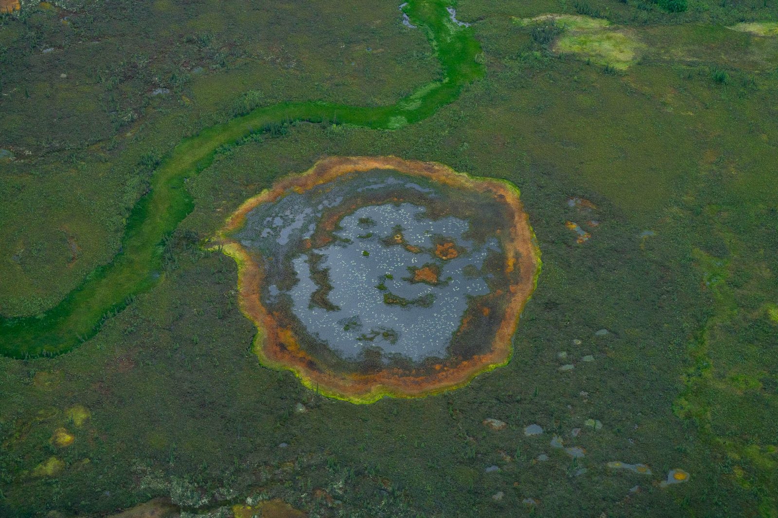
Dust is how everything above travels beyond the road prism. The review puts the greatest effect within 328 feet of the road edge, with particles carrying to about 656 feet, and it quantifies the result better than almost anything else in the document.
2024 Final Supplemental EIS, Appendix E, Table 11, Alternative A wetland impact acres, read from the source document. The 328-foot dust buffer includes the 10-foot construction zone.
And there's a working example of what that dust carries, on a road built in northwest Alaska to serve a mine of exactly this kind. On the Red Dog haul road, with hydraulically sealed lids and truck rinsing in place, concentrate dust has been documented up to 2.5 miles from the road and at low levels much farther, with lead peaking around 33 feet from the road edge. The review's own line: "Heavy metal dust can persist in the soil for many decades."
The Ambler Road would carry copper, zinc, lead, silver and gold concentrate, at up to 168 trucks a day at peak.
2024 Final Supplemental EIS, dust section, citing Hasselbach et al. 2005 and Neitlich et al. 2017 and 2022 for the Red Dog measurements.
Naturally occurring asbestos has its own acronym in this record, its own map and its own table. It's real, it's documented, and it's also the place where it's easiest to overstate the case. So here's the narrow version, which is the only one we'll make.
The federal picture of the footprint is mostly a blank:
| Asbestos potential, Alternative A footprint | Acres | Share |
|---|---|---|
| High | 88 | 2% |
| Medium | 106 | 2% |
| Zero to low | 202 | 4% |
| Unknown, unevaluated surficial deposits | 4,120 | 91% |
| Other or water | 8 | <1% |
2024 Final Supplemental EIS, Appendix D, Table 3, read from the source document, sourced there to Solie and Athey 2015. The EIS notes that study "serves as a guide to locations where NOA could potentially occur but is not a definitive indication of presence or absence". The same review says the unevaluated ground is "likely to have measurable amounts" of it.
Then there's the applicant's own file. AIDEA's engineering GIS carries a per-site asbestos rating for its material sites, which is the proponent's judgement rather than anyone else's, and as far as we can tell nobody has published it.
Counted from AIDEA's own material-sites layer, field "Asbestos", recounted against the file on September 11, 2026. This is the applicant's rating of its own pits, not our judgement of them. The same layer is on the atlas, where each site can be clicked.
Three further things belong in the record and none of them is a headline on its own. AIDEA's threshold for usable material is 0.1 percent asbestos by mass, tighter than the state transportation department's 0.25 percent. The review says that threshold "does not mean those materials have no asbestos and those materials are not capable of releasing asbestos to the air or presenting a risk to human health." And on exposure limits generally: "there is no identified safe level."
The Record of Decision also concedes that the chosen route is worse than the rejected one on this specific count: Alternatives A and B "would have greater impacts related to... use of material containing naturally occurring asbestos" than Alternative C.
Why we don't call this the asbestos road
It would be a good slogan and it would be about ten percent wrong, which is exactly the amount that lets an opponent argue the label instead of the evidence. The accurate claim is narrower. The proponent rates twelve of its thirty-two attributed pits at Moderate or higher for naturally occurring asbestos, three of them High. The federal review leaves 91 percent of the footprint unevaluated and says that ground is likely to have measurable amounts. There's no identified safe level of exposure. Every one of those sentences is checkable, and together they're stronger than a nickname.
The same discipline applies to fish. The record notes a Yukon River study that documented asbestos fibres in the tissue of multiple fish species, and then says it's unclear if and to what extent asbestos would do so here. We don't write that Ambler fish would carry asbestos. We write what the record writes.
The review asks, as one of the questions framing the whole document, whether the road would cross acid-generating rock and what the effects would be. Then it answers that nobody knows, because 90 percent of the ground beneath the road was never identified past the words "unconsolidated surficial deposits, undivided".
"It is not known at this time whether the proposed road alternative alignments transect mineralized areas in a manner that would affect or enhance leaching beyond what would be expected under undisturbed circumstances, or the No Action Alternative." 2024 Final Supplemental EIS
The Environmental Protection Agency pressed on precisely this point and was deferred. Its comments on the 2020 decision asked how much investigation of the material sites had occurred to determine whether they contain naturally occurring asbestos or acid-generating rock, and asked for geotechnical investigation and decision standards for acid rock drainage. The answers point to geotechnical work to be done before final design and construction.
On what that would mean for water, the review is direct: exposure and leaching of acid rock into waterways "would substantially degrade habitat quality, alter water chemistry, and affect the health of fish and invertebrate populations", with Pacific salmon and whitefish, including sheefish, potentially most vulnerable. And then: "AIDEA indicates that cuts in acid rock areas would be avoided, but total avoidance may be difficult to achieve."
2024 Final Supplemental EIS for the leaching and fish passages and the geologic units table (Appendix D, Table 1: 4,084 of 4,524 acres mapped only as undivided surficial deposits). 2020 Joint Record of Decision response-to-comments for the EPA exchange.
What this chapter doesn't say
It doesn't say acid drainage will happen because of the road. The government says it doesn't know whether the alignments cross mineralised ground. The honest and stronger claim is that the hazard is acknowledged and the work to locate it hasn't been done.
It doesn't blame the road for the rusting rivers. They're documented now, without it. The decision's concern, in its own words, is acceleration.
It doesn't carry the mine's waste-rock problem. Trilogy's own filings say most of the waste rock at the mine is anticipated to be potentially acid-generating with no separation by acid generation potential. That's the mine, a separate federal action under a different lead agency, and it doesn't get folded into the road.
It doesn't treat AIDEA's asbestos ratings as an independent finding. They're the applicant's own ratings of the applicant's own pits, which is what makes them worth publishing, and also what limits them.
Yes, and the chosen route is the most frozen of the three studied. By the government's own accounting, 92 percent of its footprint sits on ground counted as continuous permafrost, against 48 percent for the alternative that was rejected.
The permafrost map the analysis rests on is from 1965, at a scale where the entire 211-mile route is about five inches long, and both the Park Service and the mining company reported discontinuous permafrost where that regional mapping shows continuous.
2024 Final SEIS, Appendix D; 2020 Final EIS.The applicant's own file rates its gravel sites for naturally occurring asbestos, and the record carries its own map and table for it. The federal picture of the footprint is mostly a blank: 91 percent of the route's acreage is unevaluated. This page states the finding narrowly, as the record does, because it's the easiest place to overstate the case.
2024 Final SEIS, Appendix D, Tables 1 to 3; AIDEA engineering GIS, material sites layer.Thawing permafrost is releasing metals the record says "had once been sequestered in ice" into water whose flow it calls "not predictable." The record documents "rusting rivers" in the western Brooks Range carrying copper, aluminum, zinc, cadmium, lead and arsenic, without a road. The decision's stated concern is that the road accelerates it.
2024 Record of Decision; 2020 Final EIS.The permafrost, asbestos and geology tables on this page come out of Appendix D of the 2024 Final Supplemental EIS, and the dust acreages out of Appendix E. Those appendices don't survive the text extraction most search tools use, so they were read from the source documents directly. The per-site asbestos ratings were counted out of AIDEA's own engineering GIS, which is on our atlas and can be clicked site by site.
The gap on this page is work that hasn't been done: no detailed permafrost mapping, 90 percent of the bedrock unidentified, 91 percent of the footprint unevaluated for asbestos, and acid rock potential deferred to geotechnical investigation that would happen after the decision rather than before it.
That's a specific thing to ask for, and it's more useful than a general objection. Call the Capitol switchboard at (202) 224-3121 and ask your senators and representative whether they will support requiring the geotechnical characterisation before construction, rather than as a condition to be satisfied later by the applicant.
If you want to see the pits yourself, every material site is on the atlas with AIDEA's own rating attached.