
Established
1935
Size
199,173 acres
Visitors / yr
1.6M
Entrance
$30
Best season
April through November, peak fall October
Nearest airport
SHD Shenandoah Valley Regional
01
Why Shenandoah is worth the trip
Virginia · Established 1935
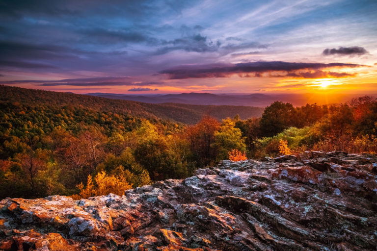
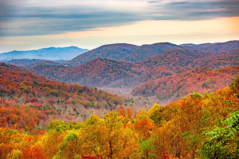
Shenandoah is the Blue Ridge served at eye level. Skyline Drive runs 105 miles along the mountain crest with more than 70 overlooks, and the whole park hangs off that one graceful road, barely 75 miles from Washington, DC. What reads as ancient wilderness is really a comeback. These hollows held farms and homesteads within living memory, and the forest has been quietly reclaiming them since the 1930s.
Get off the pavement and Shenandoah shows its teeth in the best way. Old Rag is the region's famous scramble, a rock-hopping summit push that now requires a day-use ticket. Whiteoak Canyon stacks six waterfalls into one drainage. And in mid-October, when the hardwoods peak, Skyline Drive becomes one of the great fall drives in America. Go midweek or go at sunrise. The bears do.
Start with our full Shenandoah guide, then use the planning below.
02
Top things to do in Shenandoah
Where we would start, and what we would plan a day around. Read the full guide.
Start here
15 Things to Do in Shenandoah National Park
Read the guide
01
 Hiking · nps.gov
Old Rag Circuit
PARK BOUNDARY | Visitors must obtain an Old Rag day-use ticket in advance of this hike. Pets are not allowed. Old Rag is a...
02
Hiking · nps.gov
Old Rag Circuit
PARK BOUNDARY | Visitors must obtain an Old Rag day-use ticket in advance of this hike. Pets are not allowed. Old Rag is a...
02
 Hiking · nps.gov
Stony Man
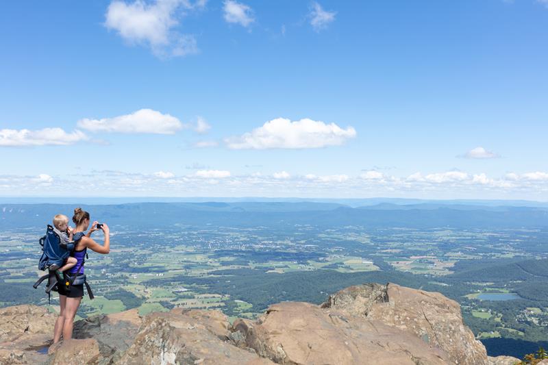
MILE 41.7 | Pets are not allowed on this hike. This enjoyable hike brings you to an outstanding view of the Shenandoah Valley, Massanutten...
03
Hiking · nps.gov
Stony Man
MILE 41.7 | Pets are not allowed on this hike. This enjoyable hike brings you to an outstanding view of the Shenandoah Valley, Massanutten...
03
 Hiking · nps.gov
Whiteoak Falls (Lower)
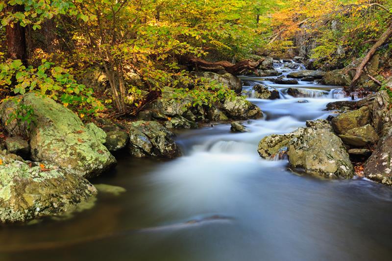
PARK BOUNDARY | An easier hike to the base of the lower falls in Whiteoak Canyon. Note that a Park entrance fee is still...
04
Hiking · nps.gov
Whiteoak Falls (Lower)
PARK BOUNDARY | An easier hike to the base of the lower falls in Whiteoak Canyon. Note that a Park entrance fee is still...
04
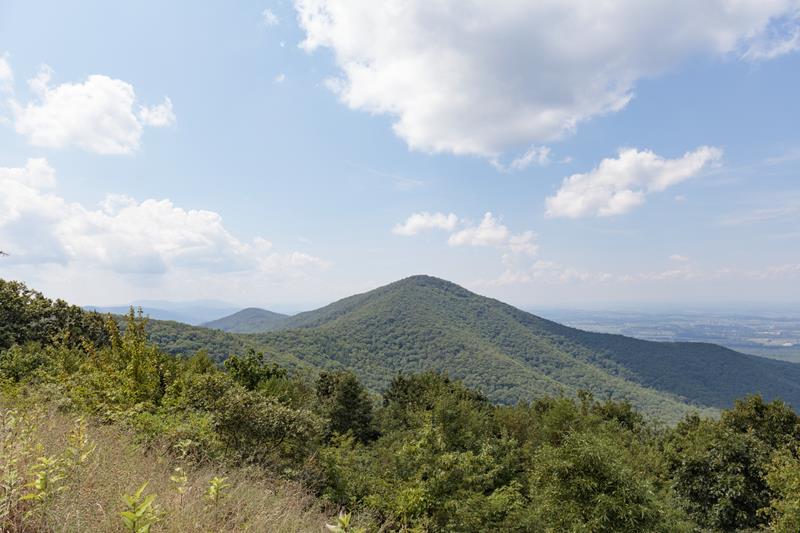 Hiking · nps.gov
Turk Mountain
MILE 94.1 | A hike to the 2,981’ summit of Turk Mountain, located in the Shenandoah Wilderness, that provides a wonderful view to the...
Hiking · nps.gov
Turk Mountain
MILE 94.1 | A hike to the 2,981’ summit of Turk Mountain, located in the Shenandoah Wilderness, that provides a wonderful view to the...
Hiking · nps.gov
Old Rag Circuit
PARK BOUNDARY | Visitors must obtain an Old Rag day-use ticket in advance of this hike. Pets are not allowed. Old Rag is a...
02
Hiking · nps.gov
Stony Man
MILE 41.7 | Pets are not allowed on this hike. This enjoyable hike brings you to an outstanding view of the Shenandoah Valley, Massanutten...
03
Hiking · nps.gov
Whiteoak Falls (Lower)
PARK BOUNDARY | An easier hike to the base of the lower falls in Whiteoak Canyon. Note that a Park entrance fee is still...
04
Hiking · nps.gov
Turk Mountain
MILE 94.1 | A hike to the 2,981’ summit of Turk Mountain, located in the Shenandoah Wilderness, that provides a wonderful view to the...
03
Best hikes in Shenandoah
The trails that define the park, with the distance and elevation numbers that decide your day.
1
Hawksbill Loop
The most variety per mile, ending on the park's highest point.
2
Old Rag
The most famous and demanding hike, with a summit rock scramble.
3
Whiteoak Canyon
The park's premier waterfall hike, a string of cascades.
4
Dark Hollow Falls
A short drop to a 70 foot cascade, quick payoff.
5
Rose River Falls
Follow the Rose River from Fishers Gap to a waterfall viewpoint.
Before you go
Get the Shenandoah heads-up
Permit windows, closures and seasonal alerts, plus our best Shenandoah guides, in your inbox before you go. Free, no spam.
04
Plan your trip
Our guides for the big decisions, plus the gear, maps and lodging we would actually use for Shenandoah.
Where to stay
Gateway towns with lodging, food and outfitters.
Maps & guides
Carry paper. Cell service dies fast inside most parks.
America the Beautiful pass
$80 a year. Covers entrance fees at more than 2,000 federal recreation sites.
Get the pass
What to bring
Field-tested picks we bring on park trips.
-
Trail ShoesLightweight with good traction for maintained trails. View on REI
-
Rain JacketMountain weather turns fast. Pack a shell even on clear mornings. View on REI
-
Merino Hiking SocksPrevent blisters and keep your feet comfortable for miles. View on REI
-
Day Hiking PackA 22-30L pack fits water, layers, snacks, and a first aid kit. View on REI
Getting there
- SHD Shenandoah Valley Regional 30 mi
- CHO Charlottesville-Albemarle 40 mi
- IAD Washington Dulles International 75 mi
Some links in this section are affiliate links. If you book or buy through them we earn a small commission at no extra cost to you. We only recommend what we would use ourselves.
Shenandoah map
VC Visitor Center
CG Campground
Nearby Park
05
When to go
Loading weather...
Live Webcams


Month-by-Month Conditions
Tap any month for details
Month
High
Low
Crowds
Roads
Jan
36°
19°
Low
Open
Feb
38°
22°
Low
Open
Mar
44°
27°
Light
Open
Apr Best
57°
37°
Moderate
Open
May Best
64°
46°
Heavy
Open
Jun Best
70°
54°
Heavy
Open
Jul Best
75°
59°
Heavy
Open
Aug Best
72°
58°
Heavy
Open
Sep Best
69°
52°
Heavy
Open
Oct Best
58°
42°
Peak
Open
Nov Best
48°
32°
Heavy
Open
Dec
40°
24°
Low
Open
Best months to visit
Crowd level (low to peak)

07
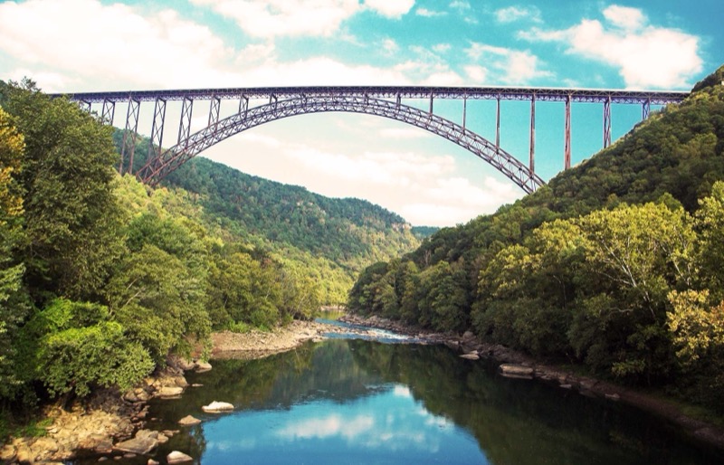
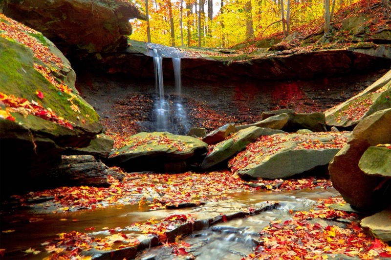
Parks near Shenandoah
Within reach if you are building a longer trip.
Worth protecting
Shenandoah belongs to all of us
Protections that took generations to win can be rolled back in a single session of Congress. We keep watch so they hold.
Stay in the Loop
Free dispatches on the parks and the policy fights around them, almost every day. Threats tracked, wins celebrated, no fluff.
Threatened Lands Map
Follow what's happening on federal lands across the country with our interactive map.
View the Tracker