


We have filmed and hiked throughout Shenandoah, and we keep coming back. It is the closest wilderness escape for tens of millions of East Coasters, and it punches well above its weight for scenery and trail quality. From the open summit of Hawksbill, the highest point in the park, to the cascades of Whiteoak Canyon and the rock scramble at Bearfence, the variety here is what makes it special. This guide ranks 15 of the best hikes in Shenandoah National Park, with real stats for each, an at-a-glance table, and the 2026 rules you need to know before you go.

Before You Go: Shenandoah Hiking Basics
- Entrance fee: $30 per vehicle, good for seven consecutive days. If you visit public lands often, the $80 America the Beautiful annual pass pays for itself fast.
- Old Rag day-use ticket: A $2 day-use ticket is required to hike Old Rag from March 1 through November 30. Each person in your group needs their own ticket, sold through Recreation.gov. Note that an Old Rag parking and trailhead improvement project is underway in 2026, so check current conditions before you go.
- Backcountry permit: Starting in 2026, overnight backcountry camping requires a permit, purchased through Recreation.gov.
- Bug spray: You will want it from spring through fall, especially for ticks. Mobile service is unreliable, so carry a paper map or guidebook.

Reading the Trail Blazes
Knowing the blaze colors keeps you from getting turned around. Blue marks park hiking trails, white marks the Appalachian Trail, and yellow marks trails where horses are allowed. Most trails also show a number under the blaze. Note those numbers as you pass, because reporting one in an emergency helps rescue crews reach you faster.
Love Shenandoah? It's one of 117 threatened public lands destinations we're tracking. Get the free briefing.
The 15 Best Hikes at a Glance
| Hike | Distance | Difficulty |
| 1. Hawksbill Loop | 2.9 mi | Moderate |
| 2. Old Rag | 9.4 mi | Strenuous |
| 3. Whiteoak Canyon | 4.6 mi to upper falls | Moderate to strenuous |
| 4. Dark Hollow Falls | 1.4 mi | Moderate |
| 5. Rose River Falls | 4 mi loop | Moderate |
| 6. Browns Gap (Doyles River) | 6.5 mi | Moderately strenuous |
| 7. Stony Man Trail | 1.6 mi | Easy to moderate |
| 8. Bearfence Mountain | 1.4 mi | Moderate (scramble) |
| 9. Mary’s Rock | 3.7 mi | Moderate |
| 10. Little Devils Stairs | 7.4 mi loop | Strenuous |
| 11. Blackrock Summit | 1 mi | Easy |
| 12. Frazier Discovery Trail | 1.2 mi | Easy to moderate |
| 13. Traces Trail | 1.7 mi | Easy |
| 14. Dickey Ridge | 4.9 mi | Easy to moderate |
| 15. Appalachian Trail (in park) | About 101 mi | Varies; pick a section |
1. Hawksbill Loop
Distance: 2.9 miles | Elevation gain: about 860 feet | Difficulty: Moderate
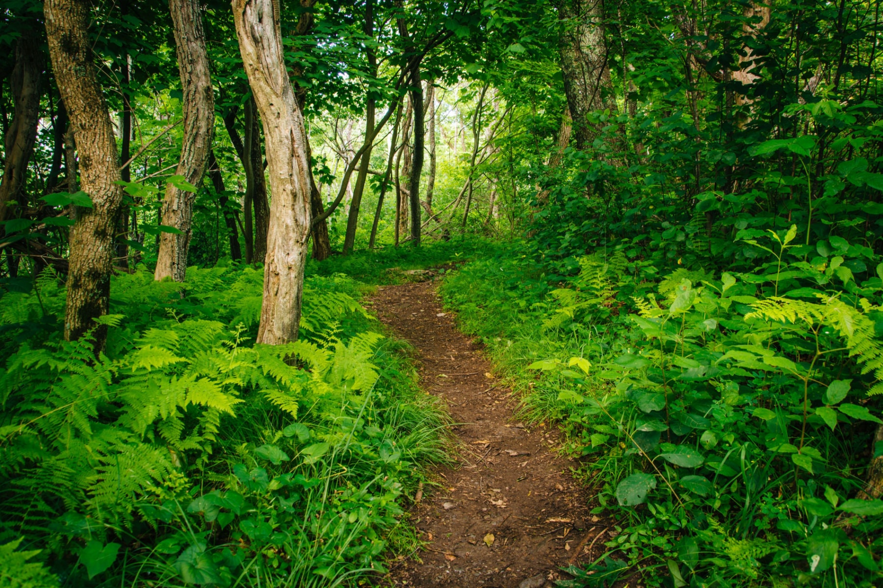
Hawksbill tops our list because it delivers the most variety per mile and ends on the highest point in the park, at 4,050 feet. The loop starts at the Hawksbill Gap parking area near milepost 45.5 and climbs through forest and rock to a viewing platform with sweeping Blue Ridge vistas. The final pitch to the summit is steep, so save some energy. Go early to beat the crowds.
2. Old Rag
Distance: 9.4 miles | Elevation gain: about 2,350 feet | Difficulty: Strenuous
Old Rag is the most famous and most demanding hike in the park, a long circuit with a thrilling rock scramble across the summit ridge. It is not for beginners or anyone uneasy with exposure and tight rock passages. Remember that a $2 day-use ticket is required for every hiker from March 1 through November 30, sold through Recreation.gov, and that a trailhead improvement project is underway in 2026. Start at dawn to make the scramble before the crowds stack up.
3. Whiteoak Canyon
Distance: 4.6 miles round trip to the upper falls | Difficulty: Moderate to strenuous
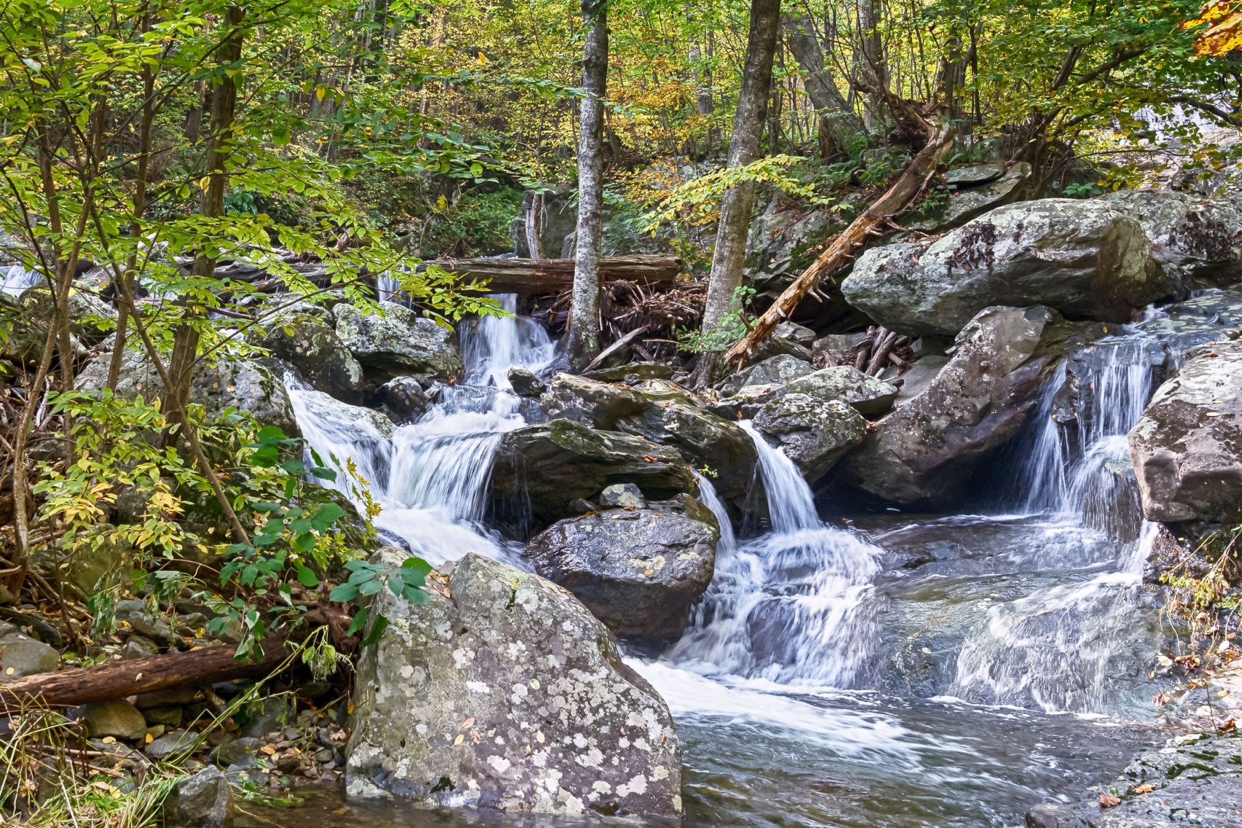
Whiteoak Canyon is the park’s premier waterfall hike, with a string of cascades along the route. The upper falls drop about 86 feet, the second-highest waterfall in Shenandoah, and you can extend the trip another 2.7 miles round trip to reach the lower falls. The trail descends on the way in, so the climb back is the work. It is best in spring or after rain when the water runs strong.
4. Dark Hollow Falls
Distance: 1.4 miles | Elevation gain: about 440 feet | Difficulty: Moderate
Dark Hollow Falls is the most popular waterfall in the park because it is short and the payoff is quick. The trail drops to a 70-foot cascade with pools and rocks to rest by. The catch is that the climb comes on the way out, so stretch your calves before you turn around. Note that dogs are not permitted on this trail.
5. Rose River Falls
Distance: about 4 miles loop | Elevation gain: about 910 feet | Difficulty: Moderate
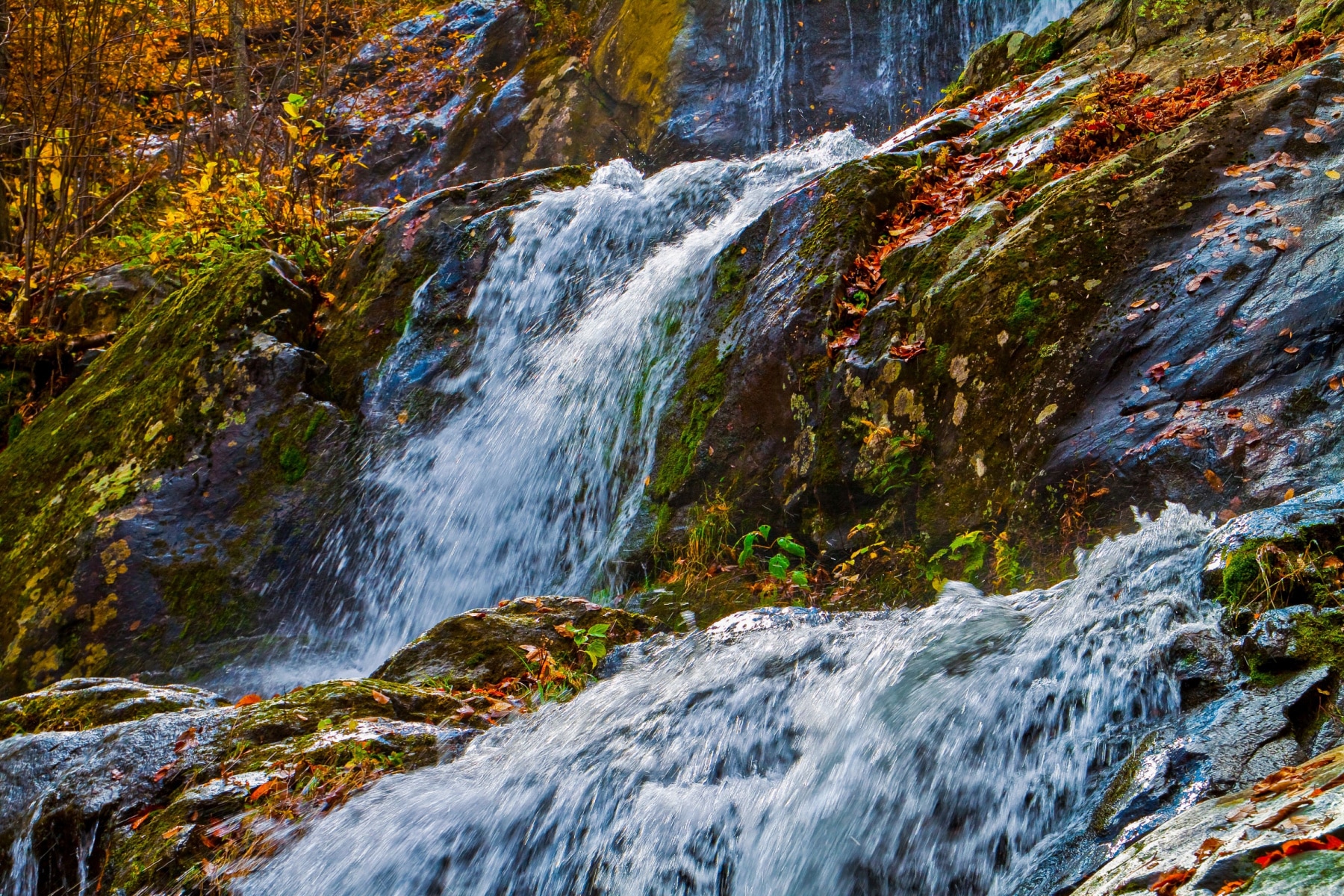
Park at the Fishers Gap area and follow the trail along the Rose River to a waterfall with a viewpoint above the water. The footing is dirt paths and rocky inclines, with no scrambling required. Many hikers extend the loop to take in Dark Hollow Falls as well, though that adds the climb out. Like all waterfall hikes here, it is best in spring or after heavy rain.
6. Browns Gap (Doyles River and Jones Run)
Distance: 6.5 miles | Elevation gain: about 1,400 feet | Difficulty: Moderately strenuous
This circuit is one of the best spring hikes in the park for cascades and wildflowers, taking in the upper and lower Doyles River Falls with a stop at Jones Run Falls. Autumn is a strong alternative if you want fall color and fewer ticks. It is a longer day with steady climbing, so pace yourself.
7. Stony Man Trail
Distance: 1.6 miles | Elevation gain: about 340 feet | Difficulty: Easy to moderate
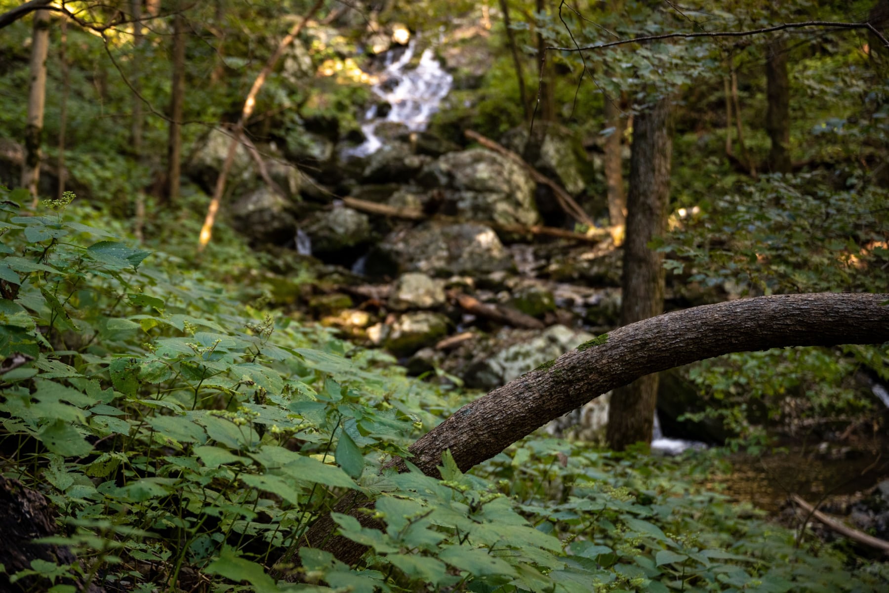
Stony Man has its own large parking area, which is your first clue it gets busy. It is named for the profile of a man in the summit rocks. The park calls it easy, but expect rocky footing and light scrambling. The views across the Shenandoah Valley are worth it, and this is one of the better sunset hikes in the park since the walk back in twilight is manageable. Dogs are not allowed here.
8. Bearfence Mountain
Distance: 1.4 miles | Elevation gain: about 310 feet | Difficulty: Moderate, with scrambling
Do not let the short numbers fool you. Bearfence is a true rock scramble and one of the best sunrise hikes in the park, but it is not for anyone afraid of heights. Start at the Bearfence parking area and cross Skyline Drive to begin. The route climbs through blazed rock with exposed sections, plus safer spots for those who would rather not look down. It is a fun way to get the heart rate up before a longer day.

9. Mary’s Rock
Distance: 3.7 miles | Elevation gain: about 1,210 feet | Difficulty: Moderate
Mary’s Rock follows much of the Appalachian Trail on a rocky climb to wide summit views. Who was Mary? There is no firm answer, just a few competing legends. The trailhead is at the Panorama parking area, which has restrooms and ample parking. Expect company on this popular route, and it is a good one for kids ready to try a tougher hike.
10. Little Devils Stairs
Distance: 7.4 miles loop | Elevation gain: about 1,900 feet | Difficulty: Strenuous
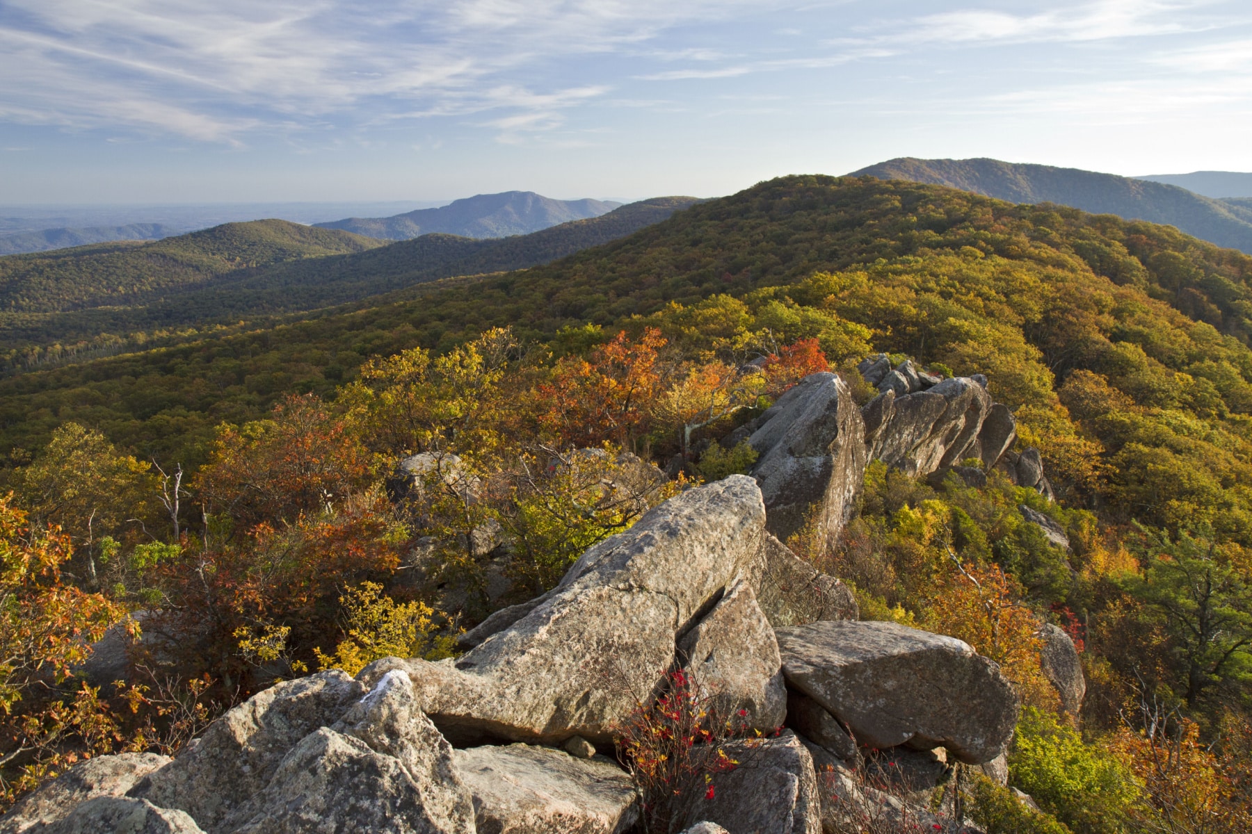
Little Devils Stairs is a North District classic that climbs a narrow gorge past a long series of cascades. It is steep, rocky, and a real workout, with the descent on a fire road making a full loop. This one rewards strong hikers who want solitude and a sense of wildness away from the busier central trails.
11. Blackrock Summit
Distance: about 1 mile | Elevation gain: about 175 feet | Difficulty: Easy
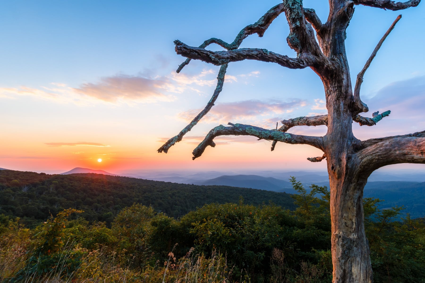
Blackrock Summit gives you a big payoff for very little effort, a short, mostly level loop to a jumble of boulders with open 360-degree views. It is one of the most family-friendly hikes in the park and a good place to let a dog test its tolerance for trails, since dogs are permitted here.
12. Frazier Discovery Trail
Distance: 1.2 miles | Elevation gain: about 430 feet | Difficulty: Easy to moderate
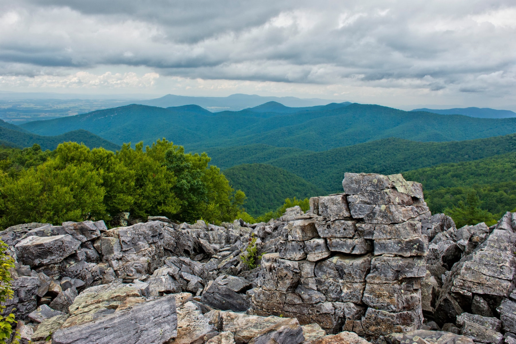
The Frazier Discovery Trail is a short loop near Loft Mountain with two rocky overlooks and interpretive signs along the way. It is a great introduction to the park for kids and first-time hikers, packing forest, rock, and views into a little over a mile. Dogs are not permitted on this trail.
13. Traces Trail
Distance: 1.7 miles | Elevation gain: about 330 feet | Difficulty: Easy
Traces Trail loops the perimeter of the Mathews Arm Campground in the North District, an easy forest walk where you can spot traces of a former homestead. It is a quiet, low-effort option, ideal for a relaxed morning or an after-camp stroll.
14. Dickey Ridge
Distance: 4.9 miles | Elevation gain: about 830 feet | Difficulty: Easy to moderate
Dickey Ridge starts near the park’s northern entrance and weaves through forest and meadow while hugging Skyline Drive for stretches of open views. The Browntown Valley overlook is the highlight and a fine picnic spot. Bears are common in this area, so use the bear-proof containers and trash cans and store food properly.
15. Appalachian Trail in the Park
Distance: about 101 miles in the park | Difficulty: Varies; choose a section
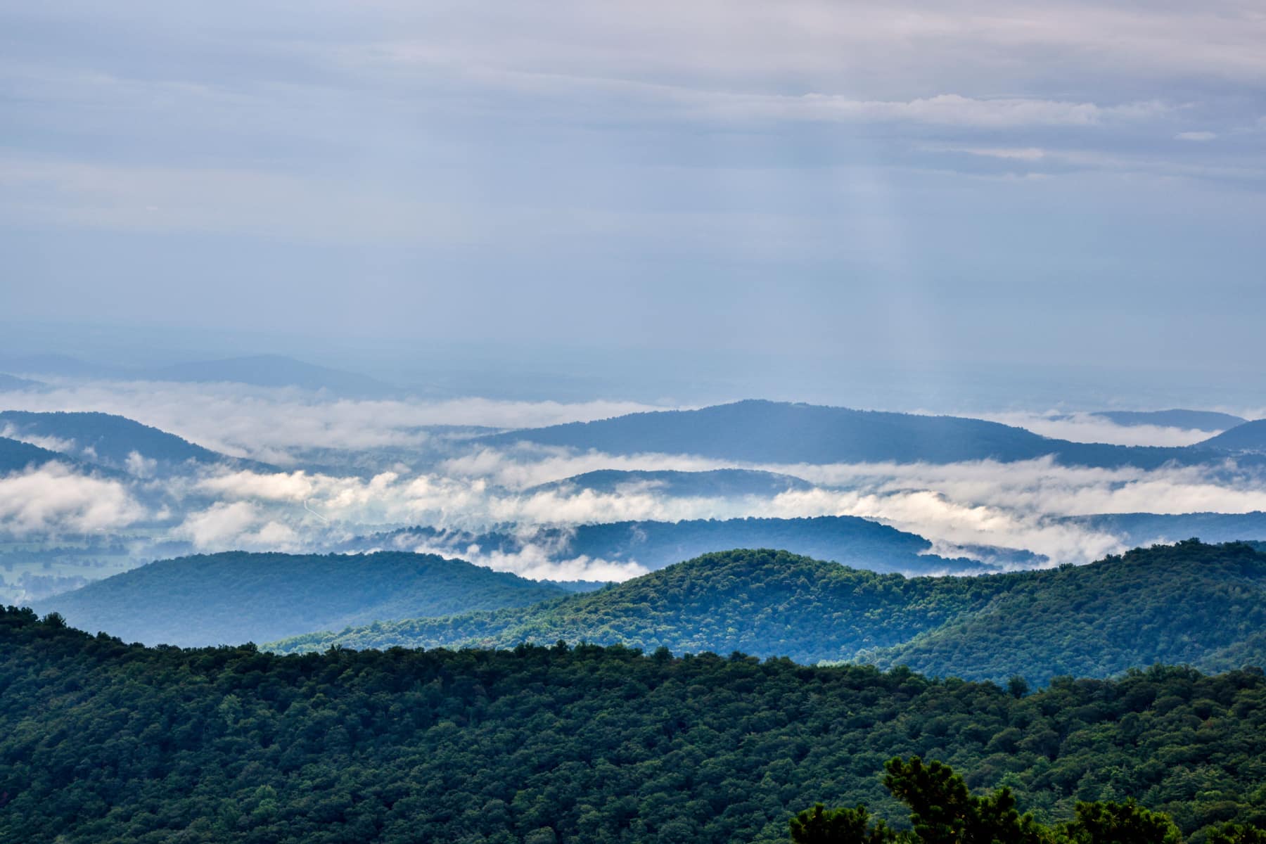
The Appalachian Trail runs about 101 miles through Shenandoah, roughly the length of the park, and you can hike as much or as little of it as you like. Day hikers can use the many crossings of Skyline Drive to walk a few miles and turn around. The Potomac Appalachian Trail Club maintains this stretch and handles reservations for trail cabins, separate from the park.
Hiking With Dogs
Shenandoah is one of the more dog-friendly national parks, but not every trail is open to pets. Per the park, dogs are not allowed on Fox Hollow, Stony Man, Limberlost, the Old Rag ridge and saddle trails, Dark Hollow Falls, Story of the Forest, Bearfence Mountain, Frazier Discovery, and a few others. Good dog-friendly options include Blackrock Summit and the Rose River Loop, which has cooling-off spots in summer. Always pack out waste, skip the hottest and most humid days for your dog’s safety, and assume other hikers may not want your dog to approach.

Plan the Rest of Your Trip
These 15 hikes are just the start. For lodging, Skyline Drive, seasons, and more, see our full Shenandoah National Park guide, and for background read our facts about Shenandoah National Park.
Shenandoah Hikes FAQ
What is the best hike in Shenandoah?
For a single all-around hike, we pick Hawksbill Loop, which ends on the park’s high point at 4,050 feet. For a bigger challenge, Old Rag is the classic, and for waterfalls it is hard to beat Whiteoak Canyon.
Do I need a ticket to hike Old Rag?
Yes. A $2 day-use ticket is required for every hiker from March 1 through November 30, sold through Recreation.gov. A trailhead improvement project is also underway in 2026, so check current conditions before you go.
How much is the Shenandoah entrance fee?
$30 per vehicle, valid for seven consecutive days. The $80 America the Beautiful annual pass is a better value if you visit public lands often.
What is the highest point in Shenandoah?
Hawksbill Mountain at 4,050 feet. The Hawksbill Loop is the most popular way to reach the summit.
What to Bring to Shenandoah
Gear we recommend for Shenandoah. Affiliate links support our work at no cost to you.
More Than Just Parks may earn a small commission from purchases made through these links, at no extra cost to you. We only recommend gear we would actually use.
Affiliate disclosure: Some links on this page earn us a small commission at no extra cost to you. We only recommend gear we actually use.


