

Established
2000
Size
32,572 acres
Visitors / yr
2.9M
Entrance
Free
Best season
May through October
Nearest airport
CLE Cleveland Hopkins International
01
Why Cuyahoga Valley is worth the trip
Ohio · Established 2000
Cuyahoga Valley is the comeback story of the park system. The river running through it was so polluted it caught fire in 1969, a national embarrassment that helped push the Clean Water Act into being. Half a century later, herons and beavers work a recovering river between Cleveland and Akron, and the valley has become the daily escape hatch for two cities.
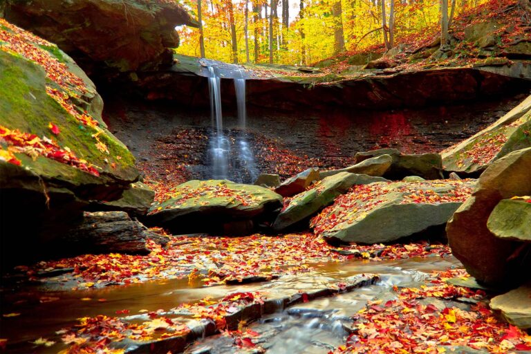
This is not a park of grand overlooks. It is 22 miles of river valley stitched with waterfalls, hemlock ravines, and the old Ohio and Erie Canal Towpath, best covered by bike. Brandywine Falls alone earns the trip, a 65-foot cascade over tiered sandstone minutes off the interstate.
The classic move is Bike Aboard on the scenic railroad. Pedal the Towpath one way, flag the train, and ride back with your bike for a few dollars. Entry is free, it works year round, and the whole place gets greener every decade. That trajectory is the point.
Start with our full Cuyahoga Valley guide, then use the planning below.
02
Top things to do in Cuyahoga Valley
Where we would start, and what we would plan a day around. Read the full guide.
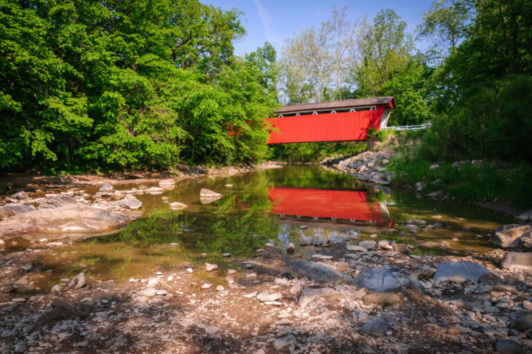
Start here
15 Things to Do in Cuyahoga Valley National Park
Read the guide
01
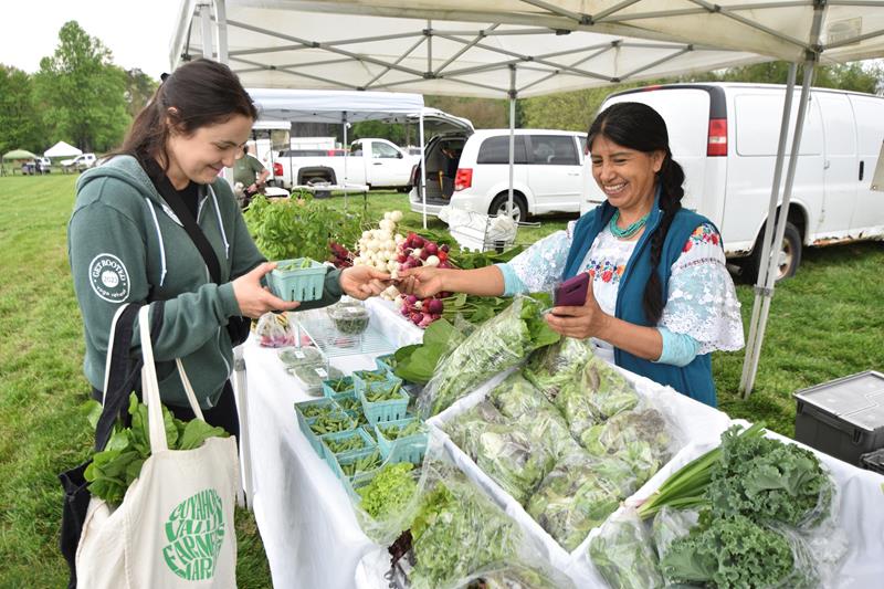 Food · nps.gov
Visit Cuyahoga Valley Farms and Markets
Agriculture has long been an important part of life in the Cuyahoga Valley. Today, there are eight farms that operate within the national park....
02
Food · nps.gov
Visit Cuyahoga Valley Farms and Markets
Agriculture has long been an important part of life in the Cuyahoga Valley. Today, there are eight farms that operate within the national park....
02
 Mountain Biking · nps.gov
Go Mountain Biking in Cuyahoga Valley
The East Rim Trail system has stunning views, varied terrain, exciting obstacles, and an element of adventure for intermediate mountain bikers.
03
Mountain Biking · nps.gov
Go Mountain Biking in Cuyahoga Valley
The East Rim Trail system has stunning views, varied terrain, exciting obstacles, and an element of adventure for intermediate mountain bikers.
03
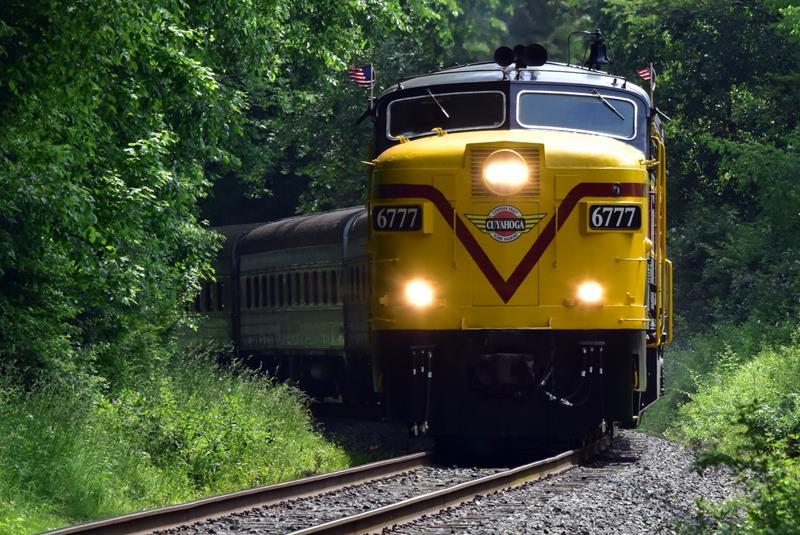 Guided Tours · nps.gov
Ride the Cuyahoga Valley Scenic Railroad
All aboard the Cuyahoga Valley Scenic Railroad! Learn more about this unique way to experience Cuyahoga Valley National Park.
04
Guided Tours · nps.gov
Ride the Cuyahoga Valley Scenic Railroad
All aboard the Cuyahoga Valley Scenic Railroad! Learn more about this unique way to experience Cuyahoga Valley National Park.
04
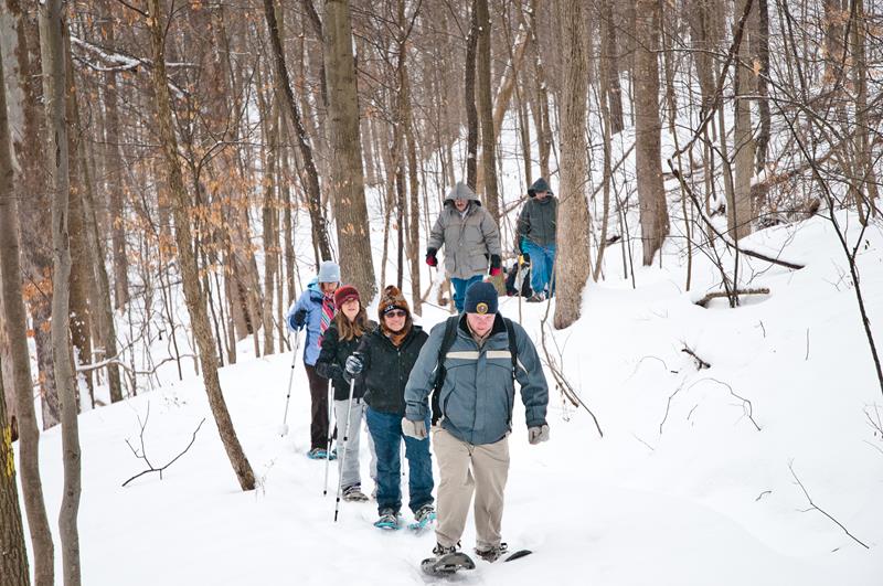 Snowshoeing · nps.gov
Go Snowshoeing in the Cuyahoga Valley
Snowshoeing is a great way to explore and exercise in Cuyahoga Valley National Park when the conditions are right. We recommend waiting for there...
Snowshoeing · nps.gov
Go Snowshoeing in the Cuyahoga Valley
Snowshoeing is a great way to explore and exercise in Cuyahoga Valley National Park when the conditions are right. We recommend waiting for there...
Food · nps.gov
Visit Cuyahoga Valley Farms and Markets
Agriculture has long been an important part of life in the Cuyahoga Valley. Today, there are eight farms that operate within the national park....
02
Mountain Biking · nps.gov
Go Mountain Biking in Cuyahoga Valley
The East Rim Trail system has stunning views, varied terrain, exciting obstacles, and an element of adventure for intermediate mountain bikers.
03
Guided Tours · nps.gov
Ride the Cuyahoga Valley Scenic Railroad
All aboard the Cuyahoga Valley Scenic Railroad! Learn more about this unique way to experience Cuyahoga Valley National Park.
04
Snowshoeing · nps.gov
Go Snowshoeing in the Cuyahoga Valley
Snowshoeing is a great way to explore and exercise in Cuyahoga Valley National Park when the conditions are right. We recommend waiting for there...
Before you go
Get the Cuyahoga Valley heads-up
Permit windows, closures and seasonal alerts, plus our best Cuyahoga Valley guides, in your inbox before you go. Free, no spam.
03
Plan your trip
Our guides for the big decisions, plus the gear, maps and lodging we would actually use for Cuyahoga Valley.
Where to stay
Gateway towns with lodging, food and outfitters.
- Peninsula, OHGateway town
- Brecksville, OHGateway town
- Boston Heights, OHGateway town
Maps & guides
Carry paper. Cell service dies fast inside most parks.
America the Beautiful pass
$80 a year. Covers entrance fees at more than 2,000 federal recreation sites.
Get the pass
What to bring
Field-tested picks we bring on park trips.
-
Trail ShoesLightweight with good traction for maintained trails. View on REI
-
Rain JacketMountain weather turns fast. Pack a shell even on clear mornings. View on REI
-
Merino Hiking SocksPrevent blisters and keep your feet comfortable for miles. View on REI
-
Day Hiking PackA 22-30L pack fits water, layers, snacks, and a first aid kit. View on REI
Getting there
- CLE Cleveland Hopkins International 20 mi
- CAK Akron-Canton Airport 25 mi
Some links in this section are affiliate links. If you book or buy through them we earn a small commission at no extra cost to you. We only recommend what we would use ourselves.
Cuyahoga Valley map
VC Visitor Center
CG Campground
Nearby Park
04
When to go
Loading weather...
Month-by-Month Conditions
Tap any month for details
Month
High
Low
Crowds
Roads
Jan
37°
21°
Light
Open
Feb
40°
22°
Light
Open
Mar
49°
30°
Moderate
Open
Apr
62°
40°
Moderate
Open
May Best
73°
50°
Heavy
Open
Jun Best
81°
60°
Heavy
Open
Jul Best
85°
64°
Peak
Open
Aug Best
84°
62°
Heavy
Open
Sep Best
77°
55°
Heavy
Open
Oct Best
64°
44°
Heavy
Open
Nov
52°
34°
Light
Open
Dec
41°
27°
Light
Open
Best months to visit
Crowd level (low to peak)
05
More Cuyahoga Valley guides
06
Parks near Cuyahoga Valley
Within reach if you are building a longer trip.
Worth protecting
Cuyahoga Valley belongs to all of us
Protections that took generations to win can be rolled back in a single session of Congress. We keep watch so they hold.
Stay in the Loop
Free dispatches on the parks and the policy fights around them, almost every day. Threats tracked, wins celebrated, no fluff.
Threatened Lands Map
Follow what's happening on federal lands across the country with our interactive map.
View the Tracker