
Established
1934
Size
522,427 acres
Visitors / yr
12.1M
Entrance
Free
Best season
April through June, October
Nearest airport
TYS McGhee Tyson (Knoxville)
01
Why Great Smoky Mountains is worth the trip
Tennessee · Established 1934
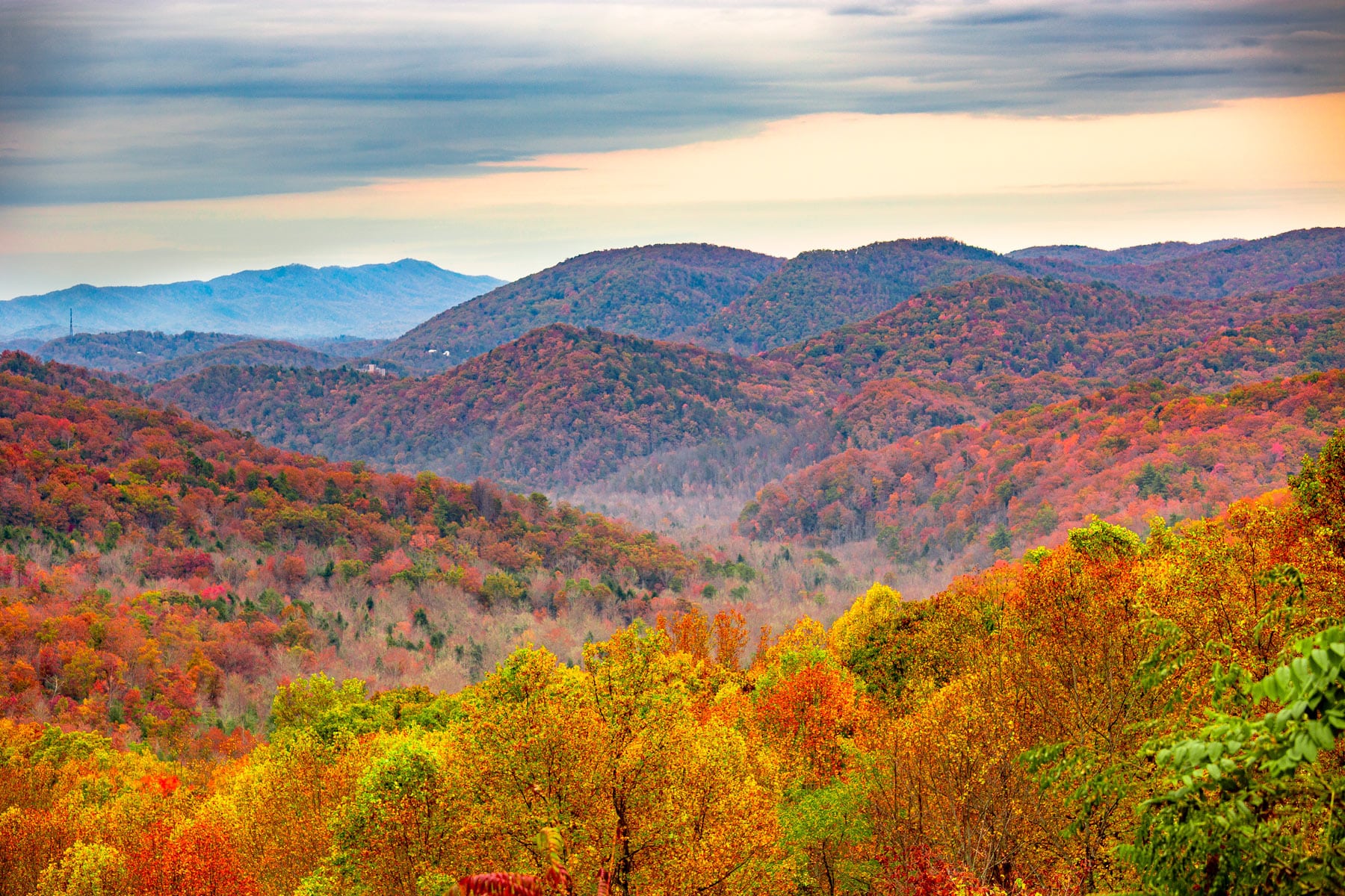
The Smokies are the most visited national park in the country by roughly double, and the reasons hold up. This is one of the most biodiverse temperate forests on Earth, an ancient range whose ridgelines exhale the blue mist that named it. It is also free to enter, forever, thanks to a condition written into the original land deed.
The move is dodging the crowds you already know about. Drive Cades Cove at first light for black bears and deer in the meadows before the loop road clogs. In early June, the synchronous fireflies at Elkmont blink in unison for a lucky lottery crowd. In October, the hardwood forest burns through weeks of color. Go midweek, go at dawn, and the busiest park in America turns out to have plenty of quiet left in it.
Start with our full Great Smoky Mountains guide, then use the planning below.
02
Top things to do in Great Smoky Mountains
Where we would start, and what we would plan a day around. Read the full guide.

Start here
15 Things to Do in Great Smoky Mountains National Park
Read the guide
01
 Hiking · nps.gov
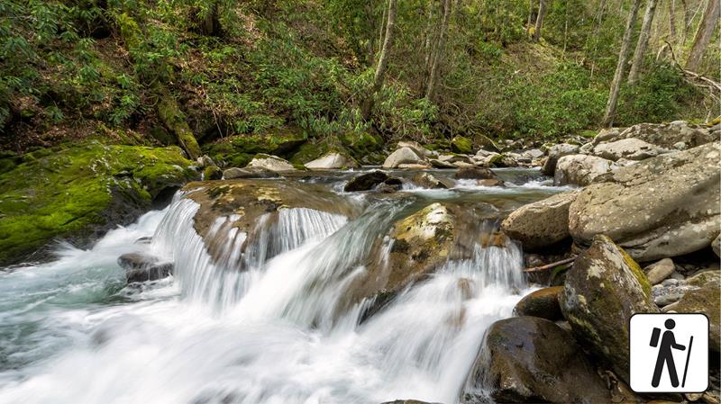
Hike Bradley Fork Trail
The Bradley Fork Trail offers a scenic and diverse outdoor experience, featuring picturesque creeks, seasonal wildflowers, fishing access, horseback riding opportunities, and backcountry camping.
02
Hiking · nps.gov
Hike Bradley Fork Trail
The Bradley Fork Trail offers a scenic and diverse outdoor experience, featuring picturesque creeks, seasonal wildflowers, fishing access, horseback riding opportunities, and backcountry camping.
02
 Hiking · nps.gov
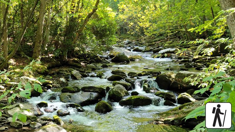
Hike Little River Trail
Once a railroad bed, the Little River Trail now offers a peaceful hike through the Elkmont area of Great Smoky Mountains National Park. As...
03
Hiking · nps.gov
Hike Little River Trail
Once a railroad bed, the Little River Trail now offers a peaceful hike through the Elkmont area of Great Smoky Mountains National Park. As...
03
 Hiking · nps.gov
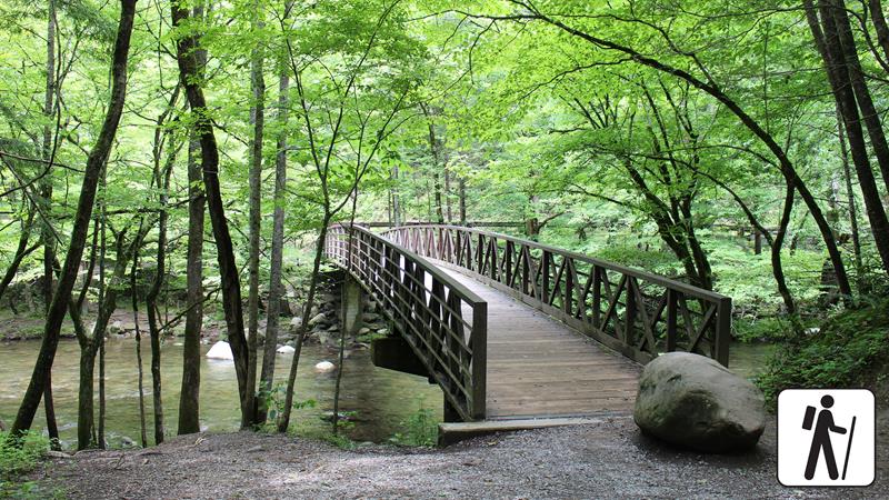
Hike the Gatlinburg Trail
Enjoy a riverside stroll approximately 4 miles (6.4 km) roundtrip through a cove hardwood forest along one of the only dog- and bike-friendly trails...
04
Hiking · nps.gov
Hike the Gatlinburg Trail
Enjoy a riverside stroll approximately 4 miles (6.4 km) roundtrip through a cove hardwood forest along one of the only dog- and bike-friendly trails...
04
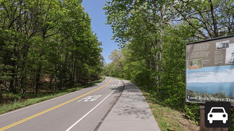 Scenic Driving · nps.gov
Drive Foothills Parkway (Chilhowee to Walland)
Drive 16.6 miles (26.7 km) one-way on Foothills Parkway from Chilhowee to Walland.
Scenic Driving · nps.gov
Drive Foothills Parkway (Chilhowee to Walland)
Drive 16.6 miles (26.7 km) one-way on Foothills Parkway from Chilhowee to Walland.
Hiking · nps.gov
Hike Bradley Fork Trail
The Bradley Fork Trail offers a scenic and diverse outdoor experience, featuring picturesque creeks, seasonal wildflowers, fishing access, horseback riding opportunities, and backcountry camping.
02
Hiking · nps.gov
Hike Little River Trail
Once a railroad bed, the Little River Trail now offers a peaceful hike through the Elkmont area of Great Smoky Mountains National Park. As...
03
Hiking · nps.gov
Hike the Gatlinburg Trail
Enjoy a riverside stroll approximately 4 miles (6.4 km) roundtrip through a cove hardwood forest along one of the only dog- and bike-friendly trails...
04
Scenic Driving · nps.gov
Drive Foothills Parkway (Chilhowee to Walland)
Drive 16.6 miles (26.7 km) one-way on Foothills Parkway from Chilhowee to Walland.
03
Best hikes in Great Smoky Mountains
The trails that define the park, with the distance and elevation numbers that decide your day.
1
Alum Cave Trail to Mount LeConte
The finest route up 6,593 foot Mount LeConte.
2
Kuwohi
Formerly Clingmans Dome, at 6,643 feet the range's loftiest peak.
3
Charlies Bunion
A commanding rocky crag reached along the Appalachian Trail.
4
Gregory Bald
Perhaps the most celebrated high elevation bald in the Smokies.
5
Ramsey Cascades
The tallest waterfall in the park, a 100 foot tumble.
Before you go
Get the Great Smoky Mountains heads-up
Permit windows, closures and seasonal alerts, plus our best Great Smoky Mountains guides, in your inbox before you go. Free, no spam.
04
Plan your trip
Our guides for the big decisions, plus the gear, maps and lodging we would actually use for Great Smoky Mountains.
Where to stay
Gateway towns with lodging, food and outfitters.
- Gatlinburg, TNGateway town
- Pigeon Forge, TNGateway town
- Townsend, TNGateway town
- Abrams Creek Campground 16 sites · Reserve
- Balsam Mountain Campground 43 sites
Maps & guides
Carry paper. Cell service dies fast inside most parks.
Great Smoky Mountains Trails Illustrated map
Waterproof National Geographic topo of the park.
View on Amazon
America the Beautiful pass
$80 a year. Covers entrance fees at more than 2,000 federal recreation sites.
Get the pass
What to bring
Field-tested picks we bring on park trips.
-
Bear SprayRequired carry in grizzly country. Practice the quick-draw before you need it. View on REI
-
Trail ShoesLightweight with good traction for maintained trails. View on REI
-
Rain JacketMountain weather turns fast. Pack a shell even on clear mornings. View on REI
-
Merino Hiking SocksPrevent blisters and keep your feet comfortable for miles. View on REI
Getting there
- TYS McGhee Tyson (Knoxville) 45 mi
- AVL Asheville Regional 60 mi
- CLT Charlotte Douglas International 170 mi
Some links in this section are affiliate links. If you book or buy through them we earn a small commission at no extra cost to you. We only recommend what we would use ourselves.
Great Smoky Mountains map
VC Visitor Center
CG Campground
Nearby Park
05
Read our seasonal guide
When to go
Loading weather...
Live Webcams


Month-by-Month Conditions
Tap any month for details
Month
High
Low
Crowds
Roads
Jan
47°
26°
Light
Open
Feb
51°
28°
Light
Open
Mar
60°
34°
Moderate
Open
Apr Best
69°
42°
Moderate
Open
May Best
76°
51°
Heavy
Open
Jun Best
83°
59°
Heavy
Open
Jul
86°
63°
Heavy
Open
Aug
85°
62°
Heavy
Open
Sep
79°
56°
Heavy
Open
Oct
69°
44°
Peak
Open
Nov
58°
34°
Moderate
Open
Dec
49°
27°
Light
Open
Best months to visit
Crowd level (low to peak)

Watch our film
Great Smoky Mountains National Park 4K
This was only our second film and we picked the most visited park in the country on purpose. We caught peak fall color and the elk rut, and it is still some of the best autumn footage we've ever shot. Watch it and then go in October.
Browse all our national park films


07
Parks near Great Smoky Mountains
Within reach if you are building a longer trip.
Worth protecting
Great Smoky Mountains belongs to all of us
Protections that took generations to win can be rolled back in a single session of Congress. We keep watch so they hold.
Stay in the Loop
Free dispatches on the parks and the policy fights around them, almost every day. Threats tracked, wins celebrated, no fluff.
Threatened Lands Map
Follow what's happening on federal lands across the country with our interactive map.
View the Tracker