
Established
1941
Size
54,012 acres
Visitors / yr
747K
Entrance
Free
Best season
Year-round (cave temperature constant at 54 degrees F)
Nearest airport
BWG Bowling Green-Warren County
01
Why Mammoth Cave is worth the trip
Kentucky · Established 1941
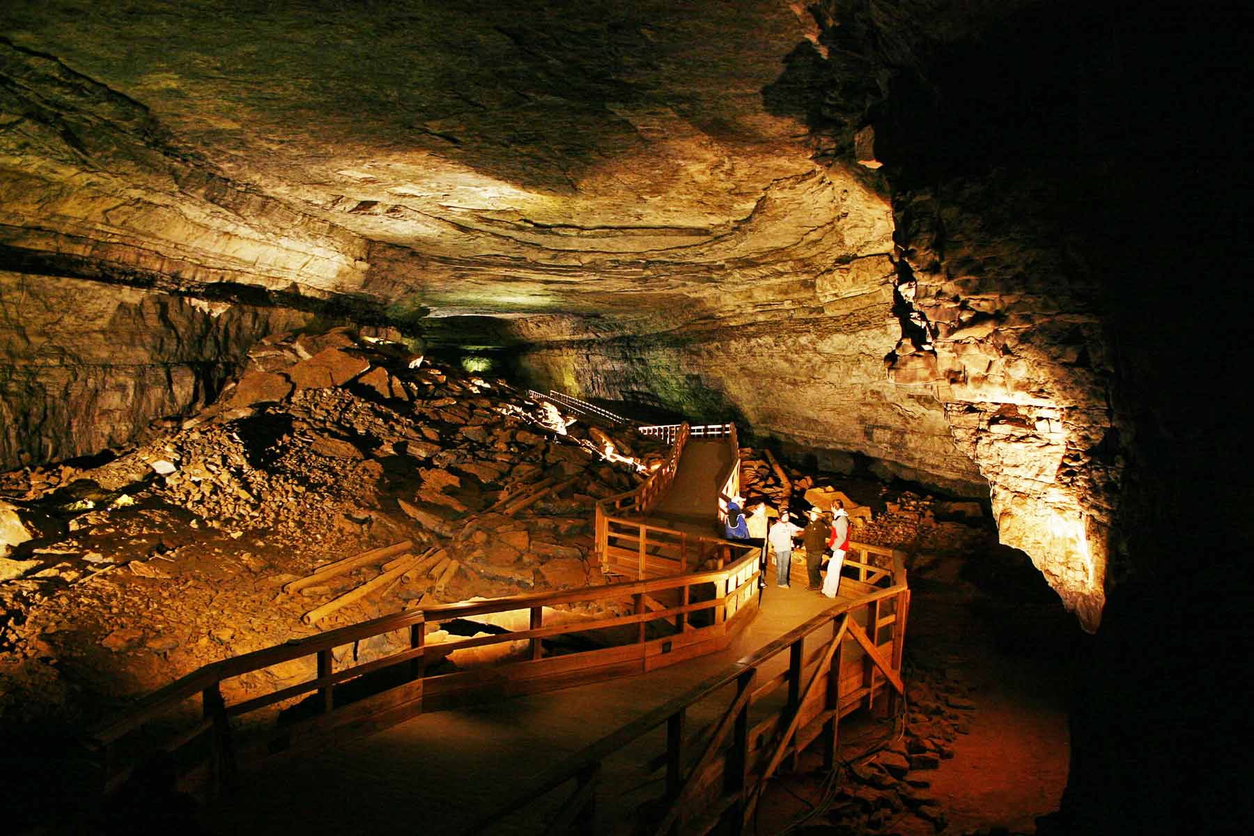
Mammoth Cave is the longest known cave on Earth, with more than 420 miles of mapped passages and no close second, and surveyors are still finding more. People have gone underground here for 5,000 years, and the cave keeps their record. Artifacts of the first explorers, signatures of 19th-century tourists, and the routes of guides like Stephen Bishop, the enslaved Black explorer who mapped much of it by lamplight and gave many of its landmarks their names.
The cave holds 54 degrees year round, so any season works. Pick a tour to match your nerve, from the easy Frozen Niagara walk to belly-crawl wild cave routes, and book ahead. The green hills and the Green River up top make a fine encore.
Start with our full Mammoth Cave guide, then use the planning below.
02
Top things to do in Mammoth Cave
Where we would start, and what we would plan a day around. Read the full guide.

Start here
15 Things to Do in Mammoth Cave National Park
Read the guide
01
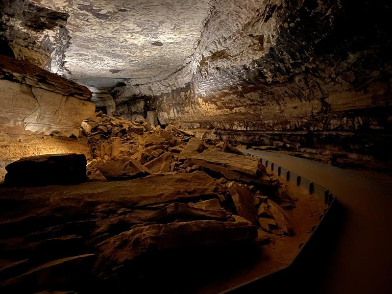 Guided Tours · nps.gov
Cave Tours
Join a ranger as you discover the complex history and intricate geology of the worlds longest cave system.
02
Guided Tours · nps.gov
Cave Tours
Join a ranger as you discover the complex history and intricate geology of the worlds longest cave system.
02
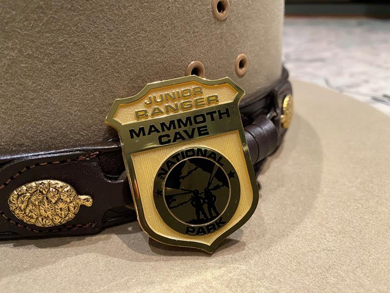 Junior Ranger Program · nps.gov
Become a Mammoth Cave Junior Ranger
Do you want to explore, learn about, and protect Mammoth Cave? If so, become a Mammoth Cave Junior Ranger! The Junior Ranger activity book...
03
Junior Ranger Program · nps.gov
Become a Mammoth Cave Junior Ranger
Do you want to explore, learn about, and protect Mammoth Cave? If so, become a Mammoth Cave Junior Ranger! The Junior Ranger activity book...
03
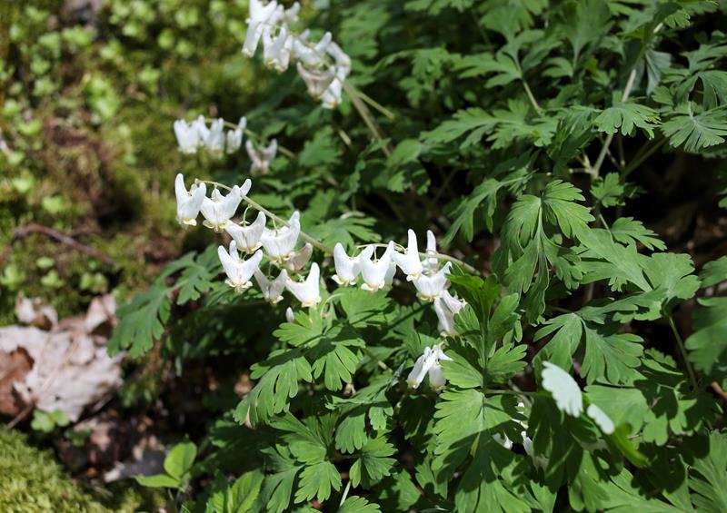 Front-Country Hiking · nps.gov
Explore Wildflowers at Cedar Sink
Stunning rock faces, cave springs, and geological panoramas, you will experience a wide array of seasonal wildflowers and biodiversity.
04
Front-Country Hiking · nps.gov
Explore Wildflowers at Cedar Sink
Stunning rock faces, cave springs, and geological panoramas, you will experience a wide array of seasonal wildflowers and biodiversity.
04
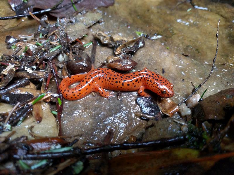 Wildlife Watching · nps.gov
Viewing Park Wildlife
Mammoth Cave is home to a wide variety of plant and animal life ranging from rare exotic cave species to more common woodland creatures....
Wildlife Watching · nps.gov
Viewing Park Wildlife
Mammoth Cave is home to a wide variety of plant and animal life ranging from rare exotic cave species to more common woodland creatures....
Guided Tours · nps.gov
Cave Tours
Join a ranger as you discover the complex history and intricate geology of the worlds longest cave system.
02
Junior Ranger Program · nps.gov
Become a Mammoth Cave Junior Ranger
Do you want to explore, learn about, and protect Mammoth Cave? If so, become a Mammoth Cave Junior Ranger! The Junior Ranger activity book...
03
Front-Country Hiking · nps.gov
Explore Wildflowers at Cedar Sink
Stunning rock faces, cave springs, and geological panoramas, you will experience a wide array of seasonal wildflowers and biodiversity.
04
Wildlife Watching · nps.gov
Viewing Park Wildlife
Mammoth Cave is home to a wide variety of plant and animal life ranging from rare exotic cave species to more common woodland creatures....
Before you go
Get the Mammoth Cave heads-up
Permit windows, closures and seasonal alerts, plus our best Mammoth Cave guides, in your inbox before you go. Free, no spam.
03
Plan your trip
Our guides for the big decisions, plus the gear, maps and lodging we would actually use for Mammoth Cave.
Where to stay
Gateway towns with lodging, food and outfitters.
Maps & guides
Carry paper. Cell service dies fast inside most parks.
America the Beautiful pass
$80 a year. Covers entrance fees at more than 2,000 federal recreation sites.
Get the pass
What to bring
Field-tested picks we bring on park trips.
-
Trail ShoesLightweight with good traction for maintained trails. View on REI
-
Rain JacketMountain weather turns fast. Pack a shell even on clear mornings. View on REI
-
Merino Hiking SocksPrevent blisters and keep your feet comfortable for miles. View on REI
-
Day Hiking PackA 22-30L pack fits water, layers, snacks, and a first aid kit. View on REI
Getting there
- BWG Bowling Green-Warren County 30 mi
- SDF Louisville Muhammad Ali International 90 mi
- BNA Nashville International 100 mi
Some links in this section are affiliate links. If you book or buy through them we earn a small commission at no extra cost to you. We only recommend what we would use ourselves.
Mammoth Cave map
VC Visitor Center
CG Campground
Nearby Park
04
When to go
Loading weather...
Live Webcams

Month-by-Month Conditions
Tap any month for details
Month
High
Low
Crowds
Roads
Jan
48°
29°
Low
Open
Feb
53°
32°
Light
Open
Mar
62°
40°
Heavy
Open
Apr
73°
48°
Heavy
Open
May Best
81°
57°
Heavy
Open
Jun Best
88°
64°
Peak
Open
Jul Best
91°
68°
Peak
Open
Aug Best
90°
67°
Heavy
Open
Sep Best
85°
60°
Moderate
Open
Oct Best
74°
49°
Moderate
Open
Nov
61°
40°
Light
Open
Dec
51°
33°
Light
Open
Best months to visit
Crowd level (low to peak)
05
More Mammoth Cave guides

06
Parks near Mammoth Cave
Within reach if you are building a longer trip.
Worth protecting
Mammoth Cave belongs to all of us
Protections that took generations to win can be rolled back in a single session of Congress. We keep watch so they hold.
Stay in the Loop
Free dispatches on the parks and the policy fights around them, almost every day. Threats tracked, wins celebrated, no fluff.
Threatened Lands Map
Follow what's happening on federal lands across the country with our interactive map.
View the Tracker