
Open for comment · closes November 3
Stop 3,921-Acre Swan Valley Logging Before Mitigation Is Written
U.S. Forest Service · Flathead National Forest, MT
- What
- The agency proposes 3,268 acres of commercial harvest and 4.6 miles of new temporary roads while admitting that the design features meant to protect water, wildlife, and soils have not yet been written.
- Where
- Flathead National Forest, MT
- How much
- 26.9 miles miles of NFS roads proposed as haul routes; approximately 99% (3,911 acres) percent of treatment units under emergency authority; 730 acres acres of commercial treatment in riparian management zones
- By when
- Comments to U.S. Forest Service by November 3, 2026.Date from Forest Service CARA comment page ↗, read October 22, 2026.
What to ask forAll 10 points →
The agency should either publish the design features before the comment period closes or extend the comment period to allow meaningful public review once those features are finalized.
Where these four lines come from
- WhatOur plain-English read of the Forest Service project page ↗. Check it against the agency’s own words under Case.
- WhereThe places and states the project page names, as PLAN read them.
- 26.9 miles“National Forest System haul routes 26.9” Table 3 Open the document ↗
- approximately 99% (3,911 acres)“Approximately 99% (3,911 acres) of the proposed treatment units are within areas designated by the Emergency Action Determination.” Analysis Authorities Open the document ↗
- 730 acres“The project includes approximately 730 acres of commercial treatment and 98 acres of noncommercial treatment within outer riparian management zones.” Treatment in Riparian Management Zones Open the document ↗
- By whenNovember 3, 2026, from Forest Service CARA comment page, the notice text ↗: “requested through 11/3/2026 11:59:59 PM (Mountain Standard Time)”. Read October 22, 2026.
- Read from PLAN’s record October 22, 2026.
Two ways to be heard on this, and both count. Comment for the legal record, then call the members who answer to you.
Comment now10 holes in the agency’s own analysis
Make these points, in your own words
The document states that design features intended to avoid or reduce environmental impacts are still under development and will not be finalized until after scoping comments are reviewed.Read the point +
This means the public is being asked to comment on a proposed action whose mitigation measures do not yet exist. Without knowing what design features will apply, commenters cannot evaluate whether the proposed 3,921 acres of treatment and 4.6 miles of temporary road construction will cause significant impacts. The agency should either publish the design features before the comment period closes or extend the comment period to allow meaningful public review once those features are finalized.
The document invokes emergency authority under Section 40807 of the Infrastructure Investment and Jobs Act for approximately 99% of the proposed treatment units, yet provides no analysis, data, or findings demonstrating that an emergency condition exists that cannot wait for standard NEPA review.Read the point +
The Secretarial Memorandum 1078-006 is cited but not reproduced or summarized, making it impossible for the public to evaluate whether the emergency designation is legally valid. The agency should disclose the Emergency Action Determination, explain the factual basis for the emergency finding, and explain why standard EA procedures are insufficient here.
The document describes 730 acres of commercial treatment and 98 acres of noncommercial treatment within outer riparian management zones, yet provides no site-specific analysis of how ground-based logging equipment, haul routes, or temporary roads will affect stream channels, water quality, or riparian vegetation in these areas.Read the point +
The purpose and need section cites insect and disease mortality and fuel loading but does not connect these specifically to riparian conditions. The agency should complete and disclose a riparian impact analysis, including effects on water quality and stream orchid and other riparian species already noted in project photos, before finalizing the decision.
The project area lies entirely within the Northern Continental Divide Ecosystem grizzly bear primary conservation area and within multiple lynx analysis units, yet the document contains no discussion of effects on either species.Read the point +
No biological assessment, effects determination, or consultation status under the Endangered Species Act is mentioned. The agency should disclose whether formal or informal Section 7 consultation with the U.S. Fish and Wildlife Service has been initiated, and should not proceed with 3,921 acres of ground-disturbing treatment until ESA consultation is complete and disclosed to the public.
The document acknowledges that some seed tree units may create openings larger than 40 acres, yet provides no analysis of how such large openings interact with grizzly bear movement, lynx habitat connectivity, or old-growth recruitment objectives stated in the Forest Plan.Read the point +
The Forest Plan desired conditions specifically call for promoting the sustainability and connectivity of old-growth forests, but the document makes no attempt to reconcile large regeneration openings with that goal. The agency should analyze the cumulative effect of openings exceeding 40 acres on wildlife habitat connectivity and old-growth conditions before finalizing the action.
The document proposes 4.6 miles of temporary road construction but states only that these roads will be rehabilitated following harvest and will cease to function as roads.Read the point +
No analysis is provided of soil compaction, erosion, sediment delivery to streams, or effects on big game travel corridors during or after construction. The haul route section discusses maintenance objectives for existing roads but is silent on construction impacts of new roads. The agency should conduct and disclose site-specific analysis of temporary road impacts on soils, hydrology, and wildlife before the decision is made.
The document states that the project area is adjacent to the Swan River National Wildlife Refuge and Swan Lake community but provides no analysis of how 26.9 miles of haul routes carrying log trucks will affect traffic safety, road noise, dust, or access for refuge visitors and community residents during project implementation.Read the point +
The haul route section notes only that hauling may result in a temporary increase in traffic and dust, without quantifying trip frequency, duration, or affected road segments. The agency should quantify truck trips per day, identify specific road segments, and analyze impacts on community access and air quality before the comment period closes.
The document identifies the project area as including approximately 1,349 acres of proposed eligible Wild and Scenic River corridor under Management Area 2b, yet provides no analysis of whether commercial harvest, ground-based logging, or haul route use within or adjacent to this corridor is consistent with the Outstandingly Remarkable Values or free-flowing condition requirements of the Wild and Scenic Rivers Act.Read the point +
The agency should disclose a suitability finding and complete a consistency determination under the Wild and Scenic Rivers Act before approving any treatments affecting this corridor.
The document states that approximately 692 acres within the project area are a designated Research Natural Area under Management Area 4a, yet no analysis is provided of whether any proposed activities overlap with or are adjacent to this RNA, what buffer exists, or how treatments in surrounding stands may affect the natural conditions the RNA is designated to protect.Read the point +
Research Natural Areas are set aside for non-manipulative research and education. The agency should disclose the spatial relationship between proposed treatment units and the RNA boundary and confirm that no treatments encroach on or degrade the RNA.
The document describes the purpose and need as including production of forest products to contribute to economic sustainability of local economies, but provides no quantitative estimate of timber volume, board feet, jobs, or local economic benefit.Read the point +
Without these figures, the public cannot evaluate whether the claimed economic purpose and need is proportionate to the environmental disturbance across 3,268 acres of commercial harvest. The agency should disclose projected timber volume, expected employment, and how those projections were derived before the comment period closes.
Say something only you can say. The law requires the agency to consider and respond to substantive comments, and specifics are what make a comment substantive.
PLAN's read: high threat
The agency proposes 3,268 acres of commercial harvest and 4.6 miles of new temporary roads while admitting that the design features meant to protect water, wildlife, and soils have not yet been written.
What’s at risk
If this goes through
Our plain-English read of the official notice ↗. Check it against the agency’s own words below.
By the numbers, from the agency’s own document
- Miles of NFS roads proposed as haul routes
- Percent of treatment units under emergency authority
Analysis Authorities
Open the document ↗“Approximately 99% (3,911 acres) of the proposed treatment units are within areas designated by the Emergency Action Determination.”
- Acres of commercial treatment in riparian management zones
Treatment in Riparian Management Zones
Open the document ↗“The project includes approximately 730 acres of commercial treatment and 98 acres of noncommercial treatment within outer riparian management zones.”
Source: the agency’s document ↗
The agency’s own analysis
What the notice says, and what it leaves out
Each one is a point a letter can put on the record.
The agency says
“Design features are under development and will not be finalized until scoping comments have been reviewed, and resource analyses have been completed.”
The document states that design features intended to avoid or reduce environmental impacts are still under development and will not be finalized until after scoping comments are reviewed.
The agency says
“preliminary analysis indicates that the Quill Pig project qualifies for the use of emergency authorities authorized by the Secretary of Agriculture under Section 40807 of the Infrastructure Investment and Jobs Act”
The document invokes emergency authority under Section 40807 of the Infrastructure Investment and Jobs Act for approximately 99% of the proposed treatment units, yet provides no analysis, data, or findings demonstrating that an emergency condition exists that cannot wait for standard NEPA review.
Treatment in Riparian Management Zones ↗
The agency says
“The project includes approximately 730 acres of commercial treatment and 98 acres of noncommercial treatment within outer riparian management zones.”
The document describes 730 acres of commercial treatment and 98 acres of noncommercial treatment within outer riparian management zones, yet provides no site-specific analysis of how ground-based logging equipment, haul routes, or temporary roads will affect stream channels, water quality, or riparian vegetation in these areas.
The agency says
“The project area is in the Northern Continental Divide Ecosystem (NCDE) grizzly bear primary conservation area (PCA) within the Porcupine Woodward, Swan Lake, and South Fork Lost Soup subunits.”
The project area lies entirely within the Northern Continental Divide Ecosystem grizzly bear primary conservation area and within multiple lynx analysis units, yet the document contains no discussion of effects on either species.
The agency says
“Some units proposed for regeneration harvest treatments may create openings larger than 40 acres in size, but none of them will exceed the maximum opening size specified in the forest plan.”
The document acknowledges that some seed tree units may create openings larger than 40 acres, yet provides no analysis of how such large openings interact with grizzly bear movement, lynx habitat connectivity, or old-growth recruitment objectives stated in the Forest Plan.
The agency says
“Approximately 4.6 miles of temporary roads are proposed to conduct project activities.”
The document proposes 4.6 miles of temporary road construction but states only that these roads will be rehabilitated following harvest and will cease to function as roads.
The agency says
“Log hauling on forest roads may result in a temporary increase in traffic and dust during project implementation.”
The document states that the project area is adjacent to the Swan River National Wildlife Refuge and Swan Lake community but provides no analysis of how 26.9 miles of haul routes carrying log trucks will affect traffic safety, road noise, dust, or access for refuge visitors and community residents during project implementation.
The agency says
“MA 2b: proposed eligible Wild & Scenic River 1,349 (12%)”
The document identifies the project area as including approximately 1,349 acres of proposed eligible Wild and Scenic River corridor under Management Area 2b, yet provides no analysis of whether commercial harvest, ground-based logging, or haul route use within or adjacent to this corridor is consistent with the Outstandingly Remarkable Values or free-flowing condition requirements of the Wild and Scenic Rivers Act.
The agency says
“MA 4a: designated research natural area 692 (6%)”
The document states that approximately 692 acres within the project area are a designated Research Natural Area under Management Area 4a, yet no analysis is provided of whether any proposed activities overlap with or are adjacent to this RNA, what buffer exists, or how treatments in surrounding stands may affect the natural conditions the RNA is designated to protect.
The agency says
“Timber production contributes to jobs and income in local communities.”
The document describes the purpose and need as including production of forest products to contribute to economic sustainability of local economies, but provides no quantitative estimate of timber volume, board feet, jobs, or local economic benefit.
In the agency’s own words
Vegetation management project, including commercial and non-commercial treatments, to promote stands that are resistant to insects, disease, and future wildfire; decrease fuel loading and tree densities; and produce forest products to contribute to economic sustainability of local economies.
The groups on this fight
4 groups predicted likely to care in Montana
Predicted likely to care is a guess from the group's sourced work in Montana, with no link to this decision. Give straight to them; nothing routes through us.
- American Prairie
Predicted likely to care · a guess
American Prairie, Montana: Defending its own bison herd, formally protesting BLM's revocation of grazing permits on 63,000 public-land acres.
- Defenders of Wildlife
Predicted likely to care · a guess
Cabinet Mountains Wilderness, Montana: Named plaintiff in the Rock Creek Mine case, which turned on threatened grizzly bears and bull trout.
- Earthjustice
Predicted likely to care · a guess
Cabinet Mountains Wilderness, Montana: Counsel in the long-running litigation against the Rock Creek and Montanore mines proposed beneath the wilderness.
- Western Watersheds Project
Predicted likely to care · a guess
American Prairie, Montana: Filed a protest against BLM's revocation of the bison grazing permits.
Every group above is on STAND for Public Lands, with its court record, its filings and who backs it.
Who signs it
The notice names no signer PLAN could read. PLAN names a decision-maker only when the document names one.
The ground
Flathead National Forest
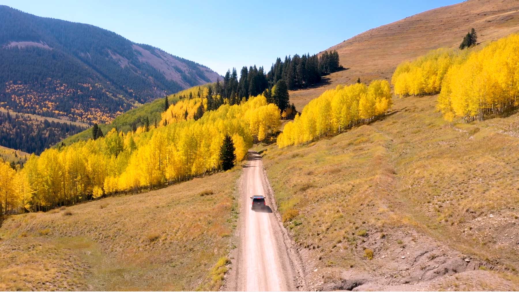
The photograph on this page: An unpaved national forest road climbing through autumn aspens. It’s the country this decision sits in, not the site itself. More Than Just Parks.
Who holds the vote
PLAN’s record doesn’t tie a member of Congress to this fight yet. The scorecard grades the votes and bills that decide public lands; nothing joins a vote or a bill to this decision, so there’s no member to name here without guessing.
See how your members vote ↗Calling your two senators and your representative is the Call door on this page.
Forest ServiceWe track this on the agency’s own system of record, where most on-the-ground decisions live.
Know an open comment period we are missing, or spotted a wrong deadline? .
More fights that need you
Go deeper, free
See how your members of Congress vote on public lands
Every representative, graded on the votes that decide the fate of parks, forests, and refuges.
Open ↗The mapSee the places under active threat
A live map of the parks, monuments, and wild country in the crosshairs right now.
Open ↗A wrong fact, a dead link, a form that wouldn’t take your letter: one tap and it comes to the people who build PLAN, with this fight attached.