
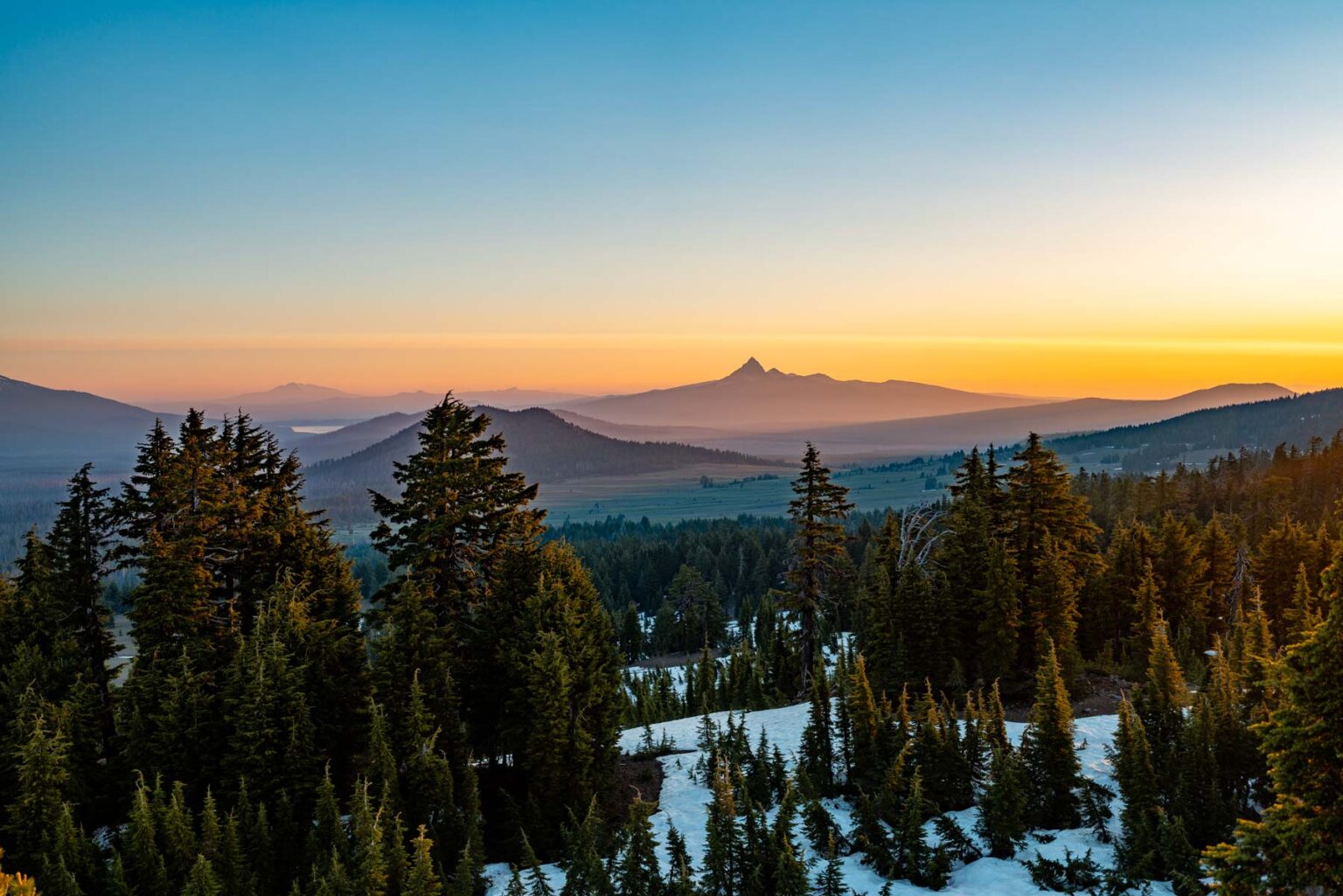
Higher ground turns first, so the slopes above the road lead the valley by a few days.
Weather Wind to 39 mph Friday. Color may come down before it turns.
No new reports from the ground here this week.
- 7,000–7,500 ftPeak colorpeak Sep 245%
- 6,500–7,000 ftNearly peakpeak Sep 2911%
- 6,000–6,500 ftNearly peakpeak Oct 232%
- 5,500–6,000 ftStarting to turnpeak Oct 529%
- 5,000–5,500 ftStarting to turnpeak Oct 817%
- 4,500–5,000 ftStarting to turnpeak Oct 114%
Height off 3DEP inside the park’s own boundary; each band carries the date our model gives that elevation, corrections and all. The percentage is how much of the park stands in it.
The place
Mount Mazama blew itself apart 7,700 years ago, and the caldera filled with snowmelt to 1,943 feet deep. No rivers in, no rivers out, just rain and snow. That is why the water is that color. You have seen the photos and assumed they were edited. They were not. Crater Lake is the bluest thing you will ever stand next to, and it is not even close.
Established 1902. About 704K/year visitors.
If you can only come on certain days
Set the days you can be here. Everything under them answers for those days, not for peak.
Tuesday 6 October to Wednesday 7 October
You’ll find it just past peak up high, peak color lower down.
Up at 6,500 feet the stands peak around Sep 29; down at 5,500 feet they hold on until about Oct 8. Pick your elevation for the day you come.
- 6,500–7,000 ftJust past peakpeak Sep 29
- 6,000–6,500 ftJust past peakpeak Oct 2
- 5,500–6,000 ftPeak colorpeak Oct 5
- 5,000–5,500 ftPeak colorpeak Oct 8
- Where to drive
- McKenzie Pass Scenic Byway (Route 242), about 93 miles
- What turns
- bigleaf maple, vine maple, black cottonwood, red alder, willow
- Entrance
- $30
What turns, and when
- bigleaf maple29%
- vine maple24%
- black cottonwood20%
- red alder17%
- willow6%
- red-osier dogwood3%
Also named across Oregon, outside what the canopy read measures here: Western Larch.
Vine maples turn vivid scarlet in the understory of Douglas fir forests, bigleaf maples go gold with enormous leaves, and the Columbia Gorge frames it all against waterfalls and basalt.
This forecast is built from the species that stand here, their elevation and this September’s weather, and corrected in season by cameras, foresters and our own crew. Out here we score it against NASA's satellite record of when the canopy shuts down, read inside each unit’s own boundary: two dates in three land within 12 days of it. How this map is made