
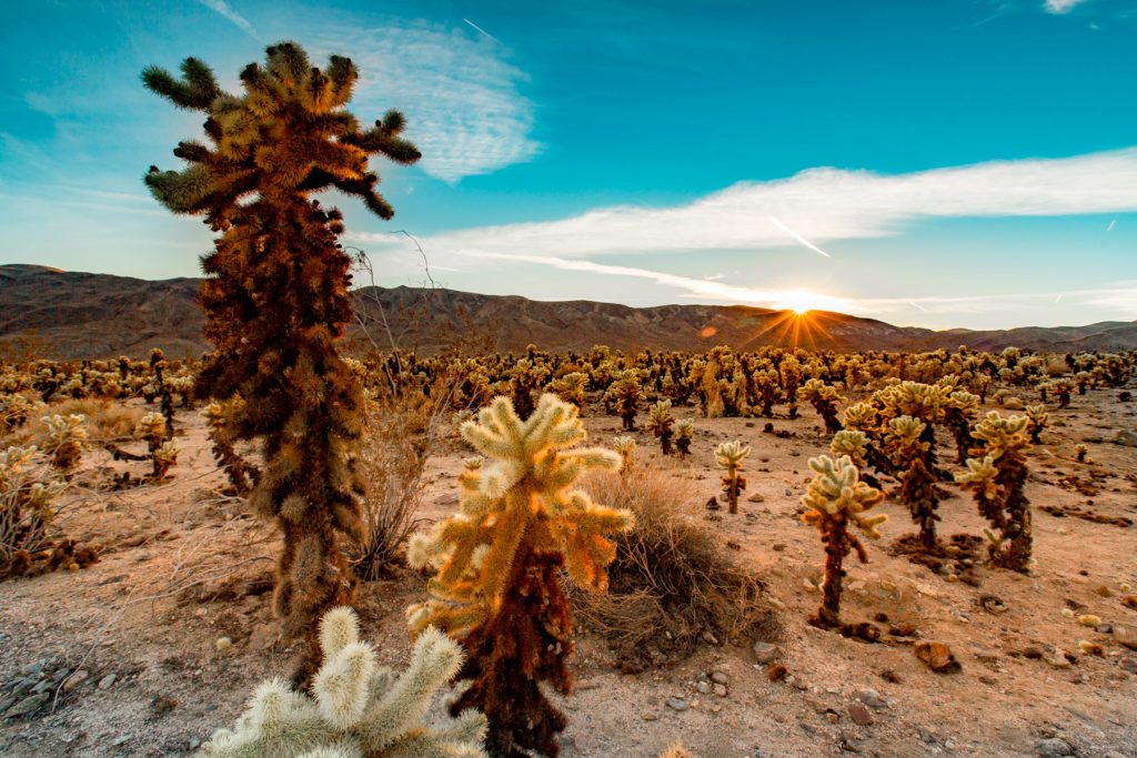
We don’t forecast fall color here. Mojave desert scrub. No deciduous canopy. Our model reads latitude and elevation and will happily produce a date for anywhere; publishing one here would be a category error rather than an uncertain forecast, so we don’t.
That’s 1 day later than our model alone would say. This September has been running warm, which shifts peak color.
The place
Two deserts collide here. The Mojave rolls in from the northwest with its namesake Joshua trees, the Sonoran pushes up from the south with its creosote flats, and the whole thing is punctuated by giant piles of monzogranite that look like God was stacking rocks and walked away. 800,000 acres of it, and on a clear night you can see 11 billion light-years into space.
Established 1994. About 3 million/year visitors.
If you can only come on certain days
Set the days you can be here. Everything under them answers for those days, not for peak.
Monday 2 November to Tuesday 3 November
You’ll find it peak color.
That's the day our forecast puts peak color here.
- What turns
- Quaking Aspen, Black Oak, Bigleaf Maple, Fremont Cottonwood, White Alder
- Entrance
- $30
What turns, and when
Quaking Aspen, Black Oak, Bigleaf Maple, Fremont Cottonwood, White Alder. Eastern Sierra aspens turn brilliant gold against granite walls, black oaks in Yosemite Valley go bronze and russet, and cottonwoods line the desert creeks in pale yellow.
Across California as a whole: Late September to mid-October in the Sierra, late October to mid-November in Yosemite Valley.
This forecast is built from the species that stand here, their elevation and this September’s weather, and corrected in season by cameras, foresters and our own crew. Out here we score it against NASA's satellite record of when the canopy shuts down, read inside each unit’s own boundary: two dates in three land within 12 days of it. How this map is made