 MORE THAN JUST PARKS
PART III · WHAT IT WOULD COST CHAPTER 5 The chain
The Western Arctic Herd was 490,000 animals in 2003 and 121,000 in 2025, managed now at a level the state calls "Critical, Declining." The road crosses the country it migrates through. At the one comparable road in Alaska, collared caribou that met it took thirty-three days to cross.
What this chapter finds
| Western Arctic Caribou Herd, photo census | Animals |
|---|---|
| 1977, the low the herd climbed back from | 75,000 |
| 2003, the peak | more than 490,000 |
| 2007 | 377,000 |
| 2011 | 325,000 |
| 2023 | 152,000 |
| 2025 | 121,000 |
Twenty percent of the herd was lost between the 2023 and 2025 censuses, continuing a decline of about ten percent a year. The state's presentation to the herd's working group in December 2025 put the mechanism plainly: "The continued decline of the WAH is likely until cow survival improves. Limiting/eliminating cow harvest is one of the only steps we can take to help the WAH recover." Calving isn't the problem; 83 percent of collared cows had calves in 2025, above average. The animals are dying as adults.
The management level is now "Critical, Declining," which recommends a total harvest under 6,000 caribou across every community that depends on the herd. The working group's own list of what comes next reads: restriction of cow harvest, restriction of non-resident hunting, a proposal to limit harvest to four caribou a year with one cow, predator control, and "a moratorium on hunting, if numbers reach a critical point." The plan was amended to add that moratorium category, below 75,000.
Western Arctic Caribou Herd Working Group, December 2025 meeting record, p. 2, p. 5 and p. 18, and the Technical Committee record, p. 3 (the 2025 census, the management level, the recommended harvest, the moratorium threshold). 2020 Final EIS, Vol. 1, p. 155 (the 2003 peak, Dau 2015; the 2007 and 2011 counts). The herd's range is a layer on our map.
The record of decision that permits the road describes what the road would do to this herd in one paragraph, and it's already a chain, so we quote it rather than paraphrase it:
"The road could delay and deflect migrating caribou, which could increase energy expenditure, impact body condition, reduce foraging rates, increase winter mortality, and decrease breeding success, pregnancy rates, and calf recruitment. Such impacts could exacerbate or prolong population declines and hinder the herd's ability to naturally recover from low population levels." 2024 Record of Decision, p. 18
Then the sentence that makes it land, from the same page: "A portion of the herd would likely be delayed or deflected by the road. If the lead caribou are disrupted then the majority of the herd could be impacted." And the human consequence, one page later: "Deflected caribou would remain north of the road and would not be available for harvest in subsistence use areas for communities in the migratory or winter ranges." The record names them: Alatna, Allakaket, Ambler, Anaktuvuk Pass, Bettles, Evansville, Huslia, Kiana, Kobuk, Kotzebue, Noorvik, Selawik, Shungnak and Wiseman. In the Kobuk River villages caribou is the top subsistence species everywhere, from 29 percent of the harvest in Kiana to 55 percent in Ambler.
2024 Record of Decision, p. 18 and p. 19. 2024 Final SEIS, Vol. 2, p. 257 (Appendix L, Table 5, caribou share of harvest by community).
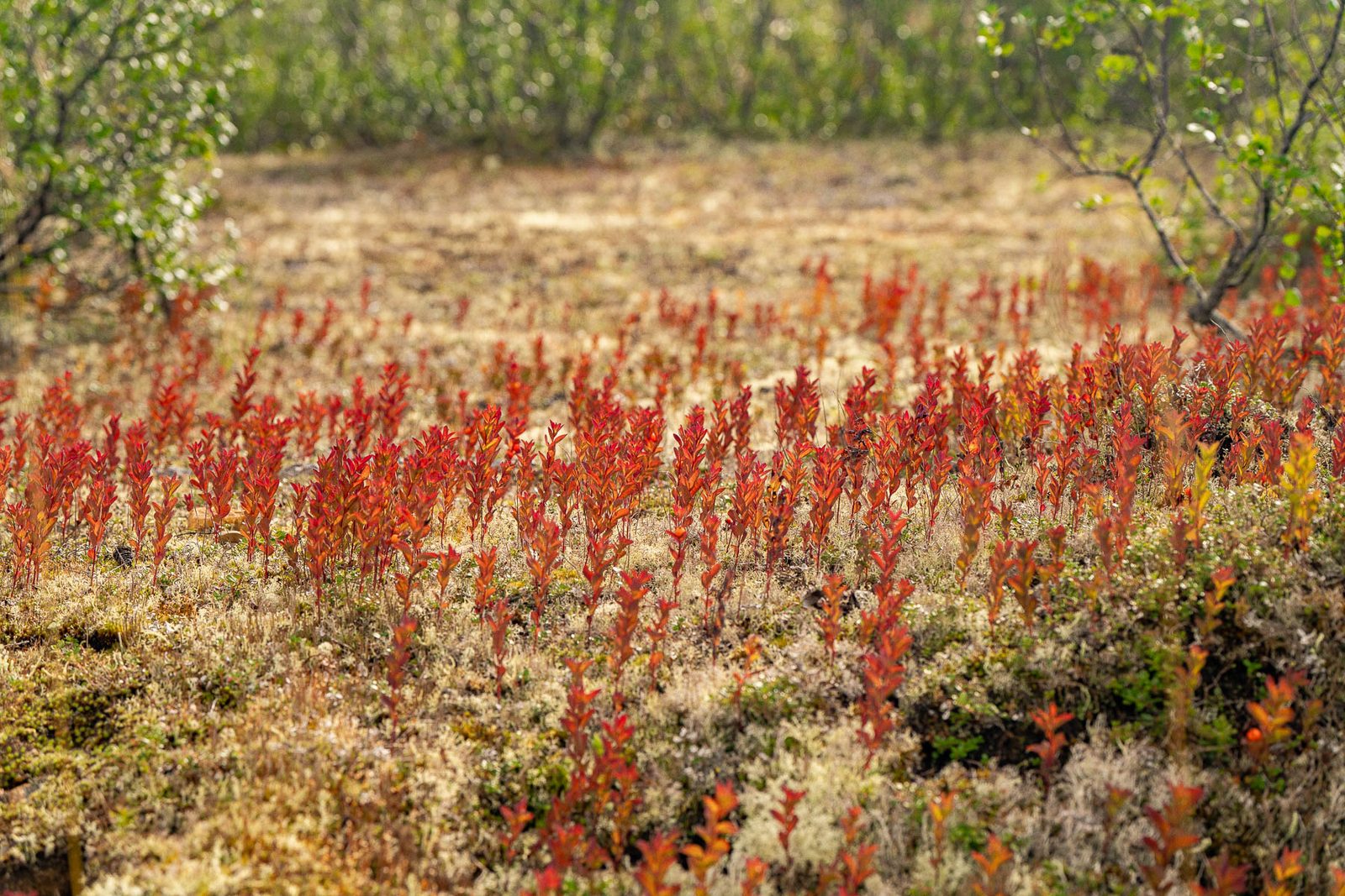
The herd's mapped migratory range overlaps the western half of the route. The government's screening shows how much the herd weighed in the route choice: it eliminated a western alternative, the Selawik Flats corridor, partly because "a large portion of the route is located on lands with the highest percentage of fall migration use by the Western Arctic Caribou Herd," and because it would affect almost twice as much caribou habitat as AIDEA's route. For the chosen route the record measures it directly: 40.29 miles of Alternative A are in areas that were used for winter range in 13 of 16 years, and 9.88 miles are in areas used for high-density winter range in 5 of 16 years.
The timing matters because it's no longer predictable. Collared cows cross the Kobuk River, at about the road's latitude, between late April and late May going north. Coming south, the herd used to be across by mid-October to early November; since about 2010 the fall crossing has shifted later and "become less temporally predictable." A road that closes to traffic "for several consecutive days" during migration, which is what AIDEA's caribou policy proposes, is a road that has to know when the migration is, and the record says that's getting harder to know.
2024 Final SEIS, Vol. 1, p. 45 (screening), p. 197 and p. 198 (crossing timing, Joly and Cameron 2017, Dau 2023b), p. 455 (Appendix E, miles of the route in winter range), p. 59 (AIDEA's caribou operating policy). Appendix E, Table 24, gives the share of collared caribou crossing each alignment by season.
Alaska has one built comparison, and it's in the record. The 52-mile road to the Red Dog mine carries about four ore trucks an hour. A study of GPS-collared caribou meeting it found:
"8 of 28 GPS-collared caribou (29 percent) exhibited large alterations in their movements near the road during fall migration and took an average of 33 days (approximately 10 times as long) to cross the road." 2024 Final SEIS, Volume 1, p. 3-147, citing Wilson et al. 2016 and Dau 2023
The record draws the comparison itself: the Red Dog road, "with relatively low traffic levels," produced "large changes in migration patterns for some caribou," and the Ambler Road's predicted traffic is higher. Steep embankments hinder crossing; in winter, the snow banks the road throws up can stop caribou moving at all. The people who watch the Red Dog road know this in practice. A community monitor told the government, of one bad year: "we [Delong Mountain Transportation System (DMTS) trespass monitoring group] were there till October first, and we make sure the lead caribou cross." The bracket is the government's own.
2024 Final SEIS, Vol. 1, p. 206 (traffic comparison, Dau 2023), p. 209 (the 33-day finding, embankments, snow banks, Roby 1978), p. 249 (Appendix Q, community testimony on the DMTS monitoring group). 2020 Final EIS, Vol. 1, p. 163 (the same study, "approximately 10 times as long").
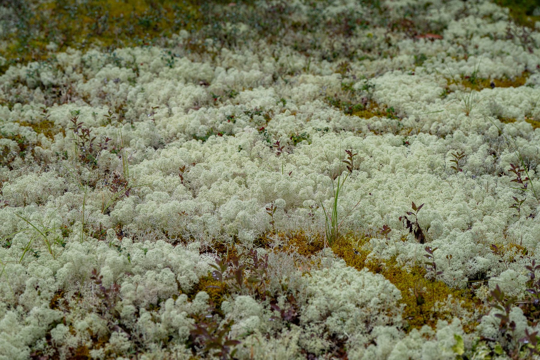
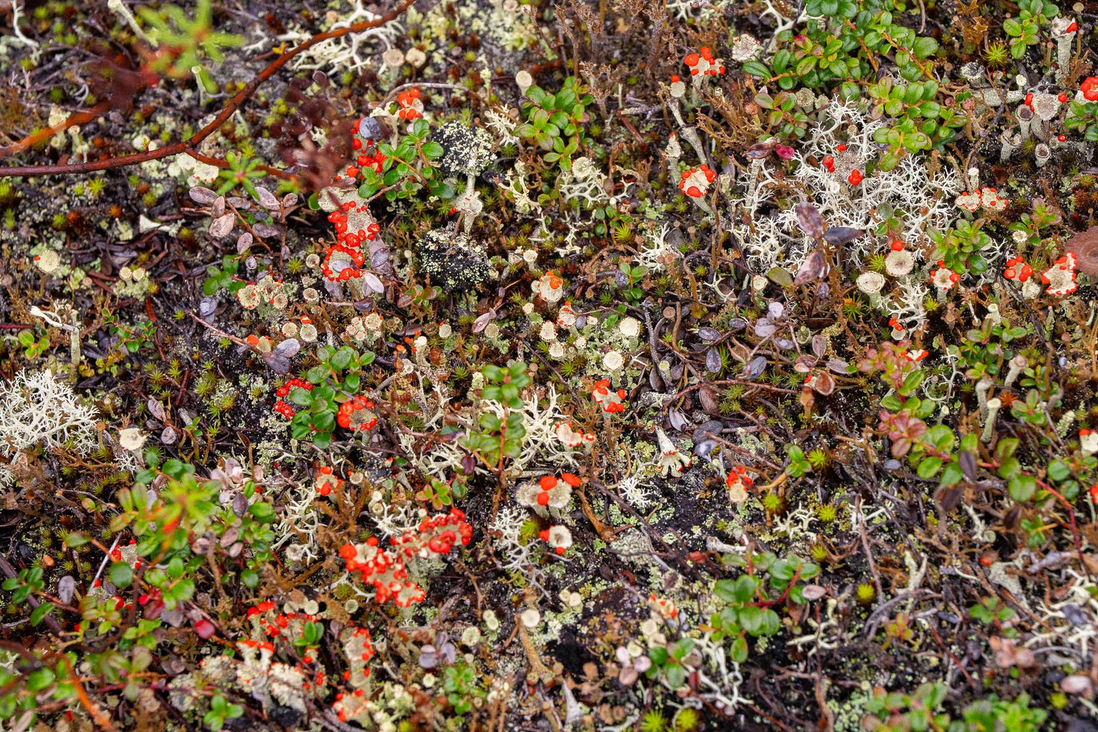
Lichens are more than 70 percent of this herd's diet from late fall through winter. The 2020 statement lists a decline in lichen cover on the winter range among the possible reasons the herd began falling from its 2003 peak. Forty miles of the road run through that winter range.
What a gravel haul road does to lichen has been measured on the Dalton and at Prudhoe Bay, in the same region, by scientists with no stake in this project. On the Dalton, dust fell from 1.6 grams per square meter a day at the road's edge to negligible levels 625 meters away, the farthest point sampled; the Ambler statement treats the first 100 meters as the zone most affected. At Prudhoe Bay, "no lichens were observed in any of the Colleen moist-tundra plots within 50 m of the road." We report both distances rather than choosing one; the ground chapter carries the dust in full.
2020 Final EIS, Vol. 1, p. 154 (lichen share of diet, Joly and Cameron 2018) and p. 155 (lichen cover and the decline). Ackerman and Finlay 2019, Scientific Reports 9:214 (Dalton dust to 625 m). Walker et al. 2022, Arctic Science 8(3) (no lichen within 50 m at Prudhoe Bay). 2020 Final EIS, p. 75 (the 100-meter assumption).
The record's own cumulative analysis says something the road's proponents rarely repeat: "Habitat loss and alteration due to the reasonably foreseeable development of the District could equal or exceed that from the road itself... and substantially increase fragmentation of migratory and winter range." The mines the road exists to reach would take "thousands of acres, not including access roads." The road is the line; the district is the footprint. The mines chapter holds the claims.
2024 Final SEIS, Vol. 1, p. 220, citing Appendix H, Table 2-10.
What this chapter doesn't say
It doesn't say the road caused the decline. The herd fell from 490,000 to 121,000 before a yard of this road was built, and the record lists the causes as uncertain: lichen, winter weather, adult survival. The finding is that the government's own record says the road would make recovery harder, in a herd that's now at the level where a hunting moratorium is on the table.
It doesn't say caribou can't cross roads. Most of the collared animals at Red Dog crossed normally. Twenty-nine percent didn't, and the record says if the lead animals are disrupted the majority can be.
It doesn't overstate AIDEA's mitigation or dismiss it. AIDEA proposes stopping traffic when caribou are near the road and closing it for days during migration. The record says that could reduce but not eliminate the effects, and that the migration is getting harder to predict.
It uses a Park Service photograph. We haven't yet photographed this herd ourselves. The frame at the top is public domain, made by Park Service staff in Gates of the Arctic, and credited as such.
The government's own record states the chain: the road "could delay and deflect migrating caribou," which could cut foraging, raise winter mortality and lower calf recruitment, and "could exacerbate or prolong population declines and hinder the herd's ability to naturally recover." For the villages: "Deflected caribou would remain north of the road and would not be available for harvest."
2024 Record of Decision, pp. 18 to 19. Full citations under How we know on this page.About 121,000 in the 2025 census, down from more than 490,000 in 2003 and 152,000 in 2023. The state's management level is now "Critical, Declining," with a recommended harvest under 6,000 and a moratorium written into the plan if the herd falls below 75,000.
Western Arctic Caribou Herd Working Group, December 2025 meeting record. Full citations under How we know on this page.Forty miles of the route lie in ground that was the herd's winter range in 13 of 16 analysis years, drawn from collar data from 1987 to 2022. Lichens are more than 70 percent of the herd's winter diet, and a 2022 study at Prudhoe Bay found no lichens in its moist-tundra plots within 50 meters of a gravel road.
The record's own comparison is the haul road to the Red Dog mine: with about four ore trucks an hour, 8 of 28 collared caribou altered their movements and took an average of 33 days, about ten times as long, to cross. At full operation the federal review projects 104 to 168 trucks a day on the Ambler Road, 4.3 to 7 an hour on average.
2024 Final SEIS; 2020 Final EIS; peer-reviewed dust studies cited under How we know on this page.The herd counts are the state's, presented to the herd's own working group in December 2025 and recorded in its minutes. The chain of effects is the record of decision's. The crossing study is cited by both federal reviews. The lichen and dust findings are peer-reviewed measurements from built roads in the same region. All of it's in our document record and searchable by passage.
The herd's working group meets again in December and the Board of Game in January 2027, with a harvest limit of four caribou a year on the table for the people who live on this herd. A road across its winter range is being permitted in the same year. If you're a reporter, put the two dates side by side and ask the Bureau of Land Management how a "Critical, Declining" designation changed its analysis. On the text, it didn't exist when the analysis was written.
If you live in one of the fourteen named communities, the record of decision at page 19 is the sentence to carry into the working group: "Deflected caribou would remain north of the road."