
Established
1978
Size
70,447 acres
Visitors / yr
800K
Entrance
$30
Best season
May through October
Nearest airport
DIK Dickinson Theodore Roosevelt Regional
01
Why Theodore Roosevelt is worth the trip
North Dakota · Established 1978
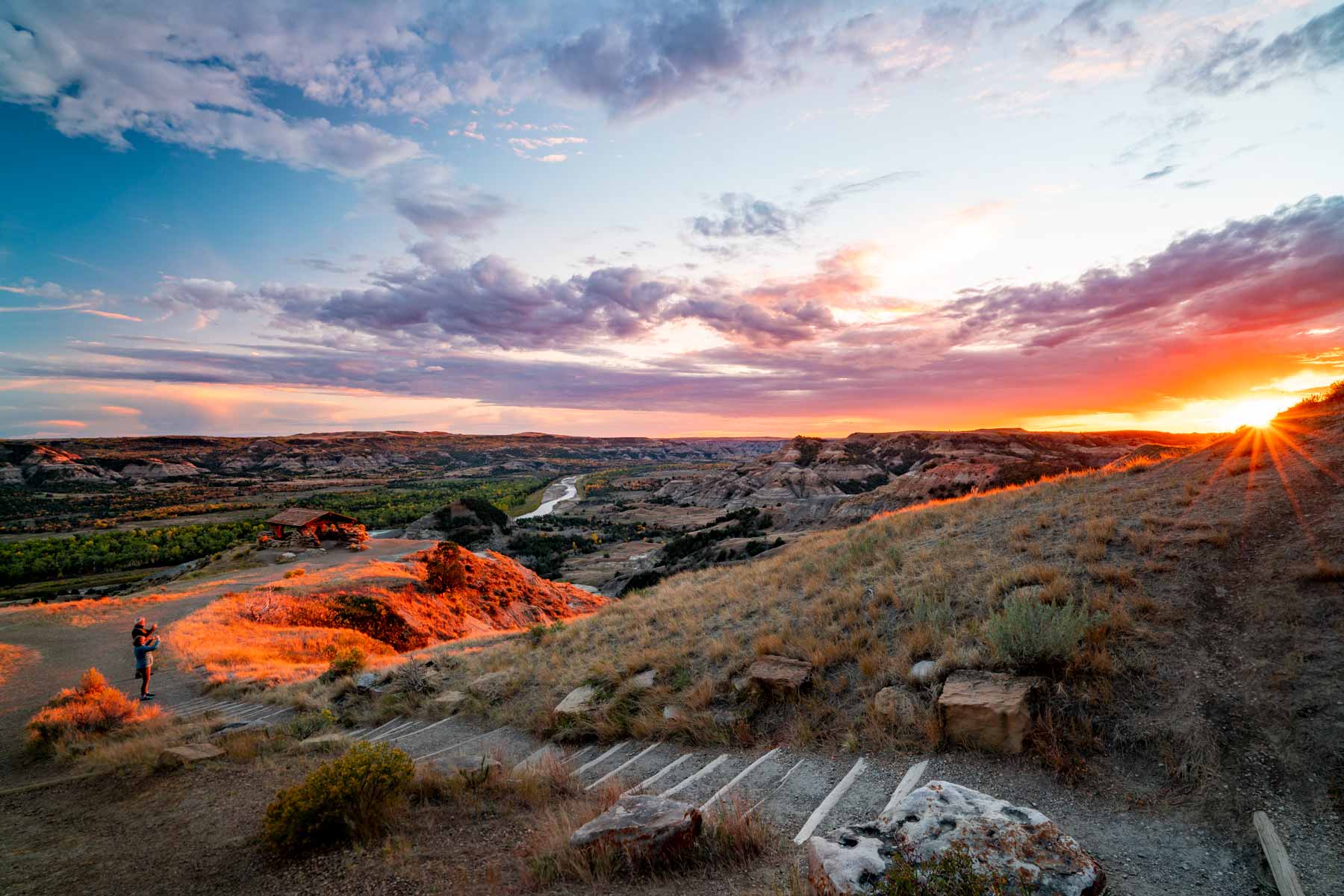
This is the park that built the president who built the park system. Theodore Roosevelt came to Dakota Territory in 1883 to hunt bison and returned the next year, shattered, after losing his wife and mother on the same day, to ranch alone in these badlands. He credited the experience with shaping the president who would put conservation at the center of American life. The park carrying his name is the only one named for a person, and it argues his case with painted buttes, cottonwood river bottoms, and grasslands running to the horizon.
Today the wildlife does the persuading. Bison jam the South Unit loop road, wild horses watch from the ridgelines, and prairie dog towns chirp alarm at every passing car. Stop at the Maltese Cross Cabin, then find an overlook at dusk and hold still. The Little Missouri country works on people. Ask Roosevelt.
Start with our full Theodore Roosevelt guide, then use the planning below.
02
Top things to do in Theodore Roosevelt
Where we would start, and what we would plan a day around. Read the full guide.

Start here
20+ Things to Do in Theodore Roosevelt NP
Read the guide
01
 Hiking · nps.gov
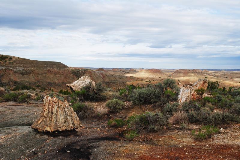
Hike the Petrified Forest
The petrified forest trail is a remote and beautiful hike, leading to a dramatic landscape of petrified stumps and layered buttes.
02
Hiking · nps.gov
Hike the Petrified Forest
The petrified forest trail is a remote and beautiful hike, leading to a dramatic landscape of petrified stumps and layered buttes.
02
 Hiking · nps.gov
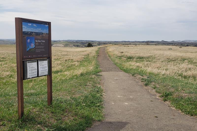
Hike Skyline Vista Trail
Skyline Vista Trail is a great accessible introduction to Theodore Roosevelt National Park.
03
Hiking · nps.gov
Hike Skyline Vista Trail
Skyline Vista Trail is a great accessible introduction to Theodore Roosevelt National Park.
03
 Birdwatching · nps.gov
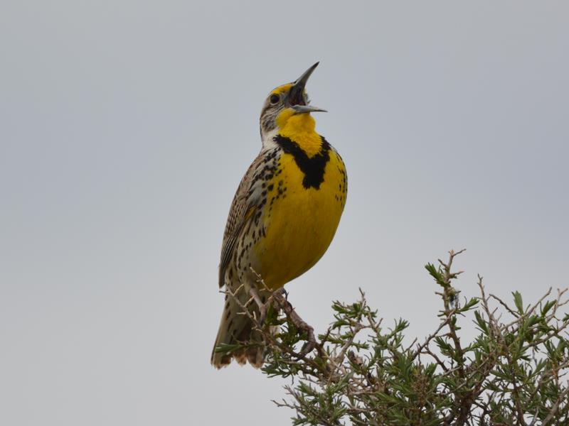
Birding in Theodore Roosevelt National Park
The badlands of North Dakota are home to more than 180 species of birds. Take a moment and see which ones you can spot!
04
Birdwatching · nps.gov
Birding in Theodore Roosevelt National Park
The badlands of North Dakota are home to more than 180 species of birds. Take a moment and see which ones you can spot!
04
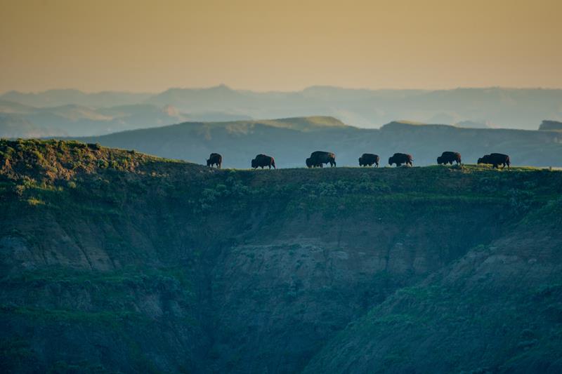 Wildlife Watching · nps.gov
Wildlife Viewing - South Unit
Explore the South Unit of Theodore Roosevelt National Park and see the wide variety of wildlife that lives there.
Wildlife Watching · nps.gov
Wildlife Viewing - South Unit
Explore the South Unit of Theodore Roosevelt National Park and see the wide variety of wildlife that lives there.
Hiking · nps.gov
Hike the Petrified Forest
The petrified forest trail is a remote and beautiful hike, leading to a dramatic landscape of petrified stumps and layered buttes.
02
Hiking · nps.gov
Hike Skyline Vista Trail
Skyline Vista Trail is a great accessible introduction to Theodore Roosevelt National Park.
03
Birdwatching · nps.gov
Birding in Theodore Roosevelt National Park
The badlands of North Dakota are home to more than 180 species of birds. Take a moment and see which ones you can spot!
04
Wildlife Watching · nps.gov
Wildlife Viewing - South Unit
Explore the South Unit of Theodore Roosevelt National Park and see the wide variety of wildlife that lives there.
Before you go
Get the Theodore Roosevelt heads-up
Permit windows, closures and seasonal alerts, plus our best Theodore Roosevelt guides, in your inbox before you go. Free, no spam.
03
Plan your trip
Our guides for the big decisions, plus the gear, maps and lodging we would actually use for Theodore Roosevelt.
Where to stay
Gateway towns with lodging, food and outfitters.
Maps & guides
Carry paper. Cell service dies fast inside most parks.
Theodore Roosevelt Trails Illustrated map
Waterproof National Geographic topo of the park.
View on Amazon
America the Beautiful pass
$80 a year. Covers entrance fees at more than 2,000 federal recreation sites.
Get the pass
What to bring
Field-tested picks we bring on park trips.
-
Sun HatFull-brim coverage for exposed trails with zero shade. View on REI
-
Water BottlesCarry at least 2 liters. More in desert heat. View on REI
-
Hiking BootsAnkle support and grip for rocky, uneven terrain. View on REI
-
Sun-Protective ShirtUPF 50+ fabric keeps you cool and blocks UV all day. View on REI
Getting there
- DIK Dickinson Theodore Roosevelt Regional 35 mi
- BIS Bismarck Airport 135 mi
Some links in this section are affiliate links. If you book or buy through them we earn a small commission at no extra cost to you. We only recommend what we would use ourselves.
Theodore Roosevelt map
VC Visitor Center
CG Campground
Nearby Park
04
When to go
Loading weather...
Month-by-Month Conditions
Tap any month for details
Month
High
Low
Crowds
Roads
Jan
28°
3°
Low
Open
Feb
32°
8°
Low
Open
Mar
44°
18°
Low
Open
Apr
56°
30°
Low
Open
May Best
67°
40°
Heavy
Open
Jun Best
77°
50°
Peak
Open
Jul Best
86°
56°
Peak
Open
Aug Best
85°
53°
Peak
Open
Sep Best
74°
43°
Peak
Open
Oct Best
58°
30°
Moderate
Open
Nov
42°
18°
Low
Open
Dec
31°
7°
Low
Open
Best months to visit
Crowd level (low to peak)
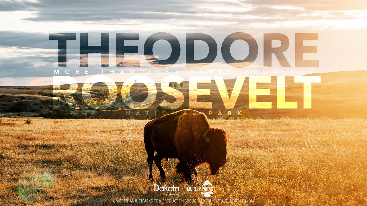
Watch our film
Theodore Roosevelt National Park North Dakota 8K
Roosevelt said the romance of his life began out here, and after weeks filming the badlands and the bison we get why. This is the cinematic companion to the park almost nobody puts on their list, and that is exactly the point.
Browse all our national park films
06
Parks near Theodore Roosevelt
Within reach if you are building a longer trip.
Worth protecting
Theodore Roosevelt belongs to all of us
Protections that took generations to win can be rolled back in a single session of Congress. We keep watch so they hold.
Stay in the Loop
Free dispatches on the parks and the policy fights around them, almost every day. Threats tracked, wins celebrated, no fluff.
Threatened Lands Map
Follow what's happening on federal lands across the country with our interactive map.
View the Tracker