Aerial of a braided river winding through the Brooks Range, Gates of the Arctic, Alaska

Our issues

The fights we are in right now

Not everything we cover. The short list of where we are spending our time, our money and our own two feet.

The Brooks Range, Gates of the Arctic, Alaska. Photo: More Than Just Parks.

The hollowing out

We cover public lands news across the whole spectrum and we do our best to keep up with all of it. This page is narrower on purpose. These are the fights we are putting our time, our money and our own two feet into right now, and they read like separate stories when they are not. What is happening to America's public lands is a hollowing out that runs on every level at once, the agencies that manage the land, the laws that protect it, the rules that carry those laws out, the people who do the work, and the protections themselves. What follows is the short list of where we are spending ourselves, and why.

Ambler Road

A 211-mile private industrial mining road would run from the Dalton Highway west to the Ambler mining district, crossing Gates of the Arctic National Preserve, roughly 3,000 streams and 11 major rivers. We spent August in that corridor and camped at Walker Lake, at the headwaters of the Kobuk, which sits directly in the road's path. The politics here are not simple and we are not going to pretend otherwise. The eleven villages closest to the project told regulators they want permitting to move ahead, and Kobuk River villages and tribal governments downstream have fought it for years. What is not in dispute is what a private road through the central Brooks Range does to caribou, to the sheefish, and to the last country in America where you can still walk for a week and cross nobody else's tracks.
Our reporting from the Ambler corridor

The Roadless Rule

The Forest Service is moving to rescind the 2001 Roadless Rule, which would open roughly 44.7 million acres across 37 states to road building and the logging that follows it. We built a map of every one of those areas because we could not find one anywhere else, and because a number that large stops meaning anything until you can see your own forest inside it. This is the single largest rollback of public lands protection in our lifetimes and most folks have never heard of the rule it undoes.

Find your forest on the roadless map

Wilderness

Wilderness is the strongest protection American law offers, and it is being weakened through agency manuals and policy reviews that almost nobody outside the agencies ever reads. Nine of these were open at once this summer, at the Fish and Wildlife Service and the BLM, running on comment windows measured in weeks. Two of them had companion dockets that were not showing up in any tracker we could find, including ours, until a reader wrote in and told us where to look, and if it takes a specialist to notice a rule changing then the public comment period is a formality dressed up as a right.

Old growth

Old growth has no single rule standing behind it, so these forests get decided one plan at a time, in documents that run a thousand pages and land on a schedule almost nobody outside the agency is tracking. The Northwest Forest Plan amendment alone covers 17 national forests with a record of decision expected in early 2028. We have started keeping the calendar, because a tree that took four hundred years to grow should not come down inside a comment window that lasted forty five days.

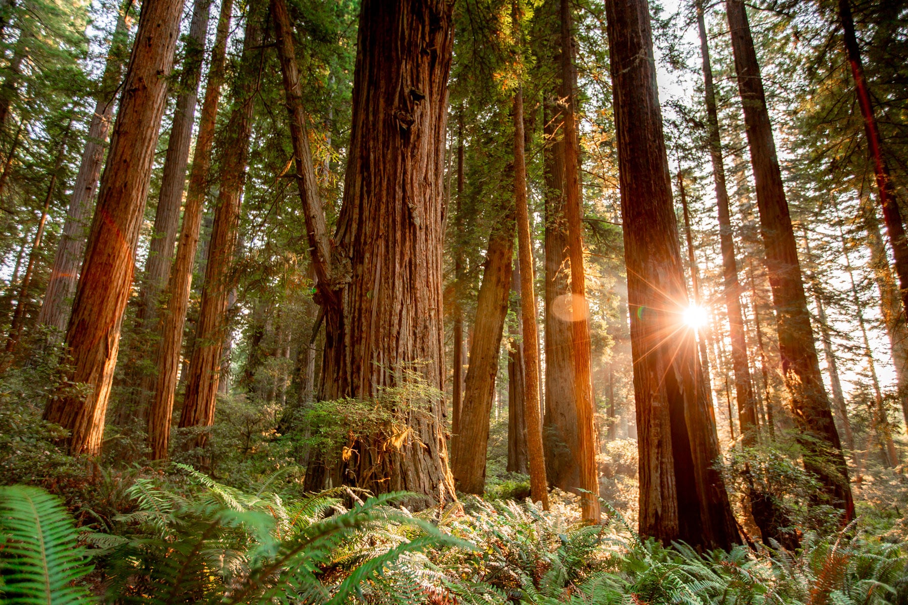
Sun through old-growth redwood trunks, Redwood National and State Parks, California
Old growth in Redwood National and State Parks.

The Tongass

The Tongass is the largest intact temperate rainforest left on earth and it sits inside our own borders, which still surprises people who have spent their whole lives thinking of rainforest as something that happens somewhere else. It is also where three of the fights on this page meet, since it is roadless country, it is old growth, and its forest plan is in revision at the same time. Trees that were standing before Europeans reached this continent are still being cut and sold at a loss, more than 1.7 billion dollars of it since 1980, covered every year by the taxpayers who own the forest.

The Arctic Refuge

The coastal plain of the Arctic National Wildlife Refuge is the calving ground of the Porcupine caribou herd and the reason the Gwich'in call it the sacred place where life begins. It has been fought over for more than forty years and the fight is never actually finished, because every few years a leasing provision gets attached to a bill that has nothing to do with Alaska and the whole thing starts again. There is no version of drilling there that gets undone later, no restoration plan, no second draft, which is the reason people have given four decades of their lives to keeping it out.

The Endangered Species Act

Most of what the Endangered Species Act does on public lands is invisible until it stops. It is the reason a project gets redesigned before it kills the last of something, and that happens through a consultation process that four rules proposed in November 2025 would roll back to an earlier and weaker version, with the final rules expected in late 2026. We are reporting the piece we can stand behind, what happens to critical habitat on federal ground and to the projects we already track. The wolves and the grizzlies get the headlines while the act mostly saves things nobody has heard of.

NEPA

NEPA is the law that says the government has to study what it is about to do and let you weigh in first, and it is being taken apart from the inside. One rulemaking would let the Forest Service change its own directives without public comment at all. Meanwhile the objection process on many timber projects is only open to people who already filed comments during scoping, so folks who hear about a sale after the local paper covers it are legally too late. We have watched readers try to speak up on projects like Judith Springs in Montana, roughly 13,700 acres of treatment with 7,600 acres of commercial harvest, and find the door already shut.

Two hikers on a high ridge above the clouds, Olympic National Park, Washington
The high country in Olympic National Park.

The Forest Service reorganization

The agency that manages 193 million acres is being restructured while it is carrying a backlog it cannot get to. There are 127 forest plans on the shelf and 42 of them predate 1996, which means decisions about the next century of a forest are still running on assumptions from before the internet. Reorganization is dry and it does not photograph well, and it is also how you quietly change what an agency is capable of doing without ever changing the law.

The public lands workforce

These are the people we have met on every trip we have ever taken. The wildland firefighters, the trail crews, the wildlife biologists, the archaeologists, the interpreters who stay late because a kid asked a good question. They have been fired, rehired, frozen out of seasonal work, told their offices are closing, and asked to cover more country with fewer hands every single year. We have watched people who gave their whole working lives to these places find out by email that they were done. You cannot protect land you have no one to protect it with, and this one is personal for us.

Selling off public lands

Proposals to sell or transfer federal land to states and to private buyers keep coming back, usually buried in a budget bill or attached late in a markup where almost nobody is looking, and they keep getting beaten back by people who caught them in time. We have written about this more than anything else we cover. Everything else on this page can in principle be undone by a future administration, a rule rewritten, a plan revised, a workforce rebuilt, while land that has been sold belongs to whoever bought it, and no future Congress is buying it back for us.

See how your delegation votes on public lands

Data centers on public land

The build out is happening faster than anyone is tracking it, and it is landing next to the places we love because that is where the cheap land and the power lines are. We started counting and found 31 active projects within a mile of protected land, with hundreds more just past that. They arrive with water demands, transmission corridors and light that ends the dark sky, usually approved by a county commission before anyone who cares about the neighboring park hears the word. This is the newest fight on this page and the one changing fastest.

Search the data center tracker

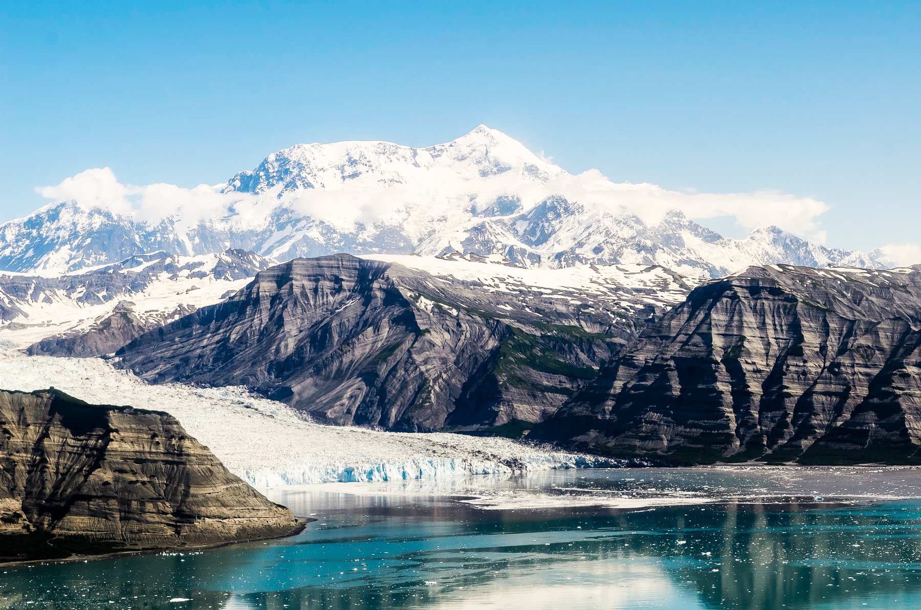
Glacier and peaks in Wrangell-St. Elias National Park, Alaska

Where the rest of it lives

Everything we track that did not make this page is on the Threatened Public Lands Map, and the reporting runs daily on our Substack. If you know about a fight we are missing, tell us.

Missing something? Write to us at ask@morethanjustparks.com.

Wrangell-St. Elias, Alaska.