
Higher ground turns first, so the slopes above the road lead the valley by a few days.
Weather Hard frost Wednesday night. Peak may come early and go fast.
No new reports from the ground here this week.
- 9,500–10,000 ftJust past peakpeak Sep 1621%
- 9,000–9,500 ftJust past peakpeak Sep 1921%
- 8,500–9,000 ftPeak colorpeak Sep 2331%
- 8,000–8,500 ftPeak colorpeak Sep 2520%
- 7,500–8,000 ftNearly peakpeak Sep 287%
Height off 3DEP inside the wilderness’s own boundary; each band carries the date our model gives that elevation, corrections and all. The percentage is how much of the wilderness stands in it.
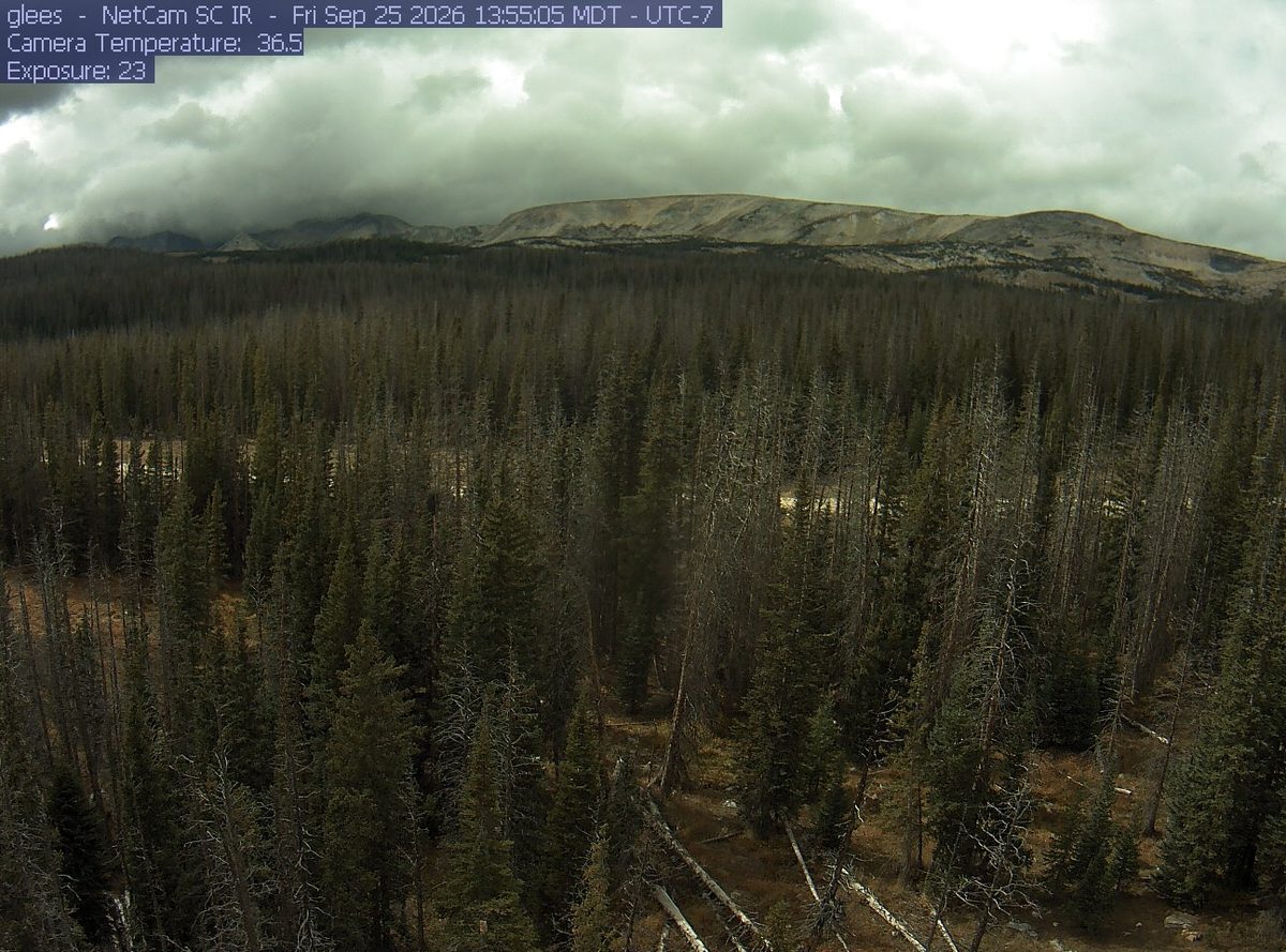
That’s 2 days later than our model alone would say. This September has been running warm, which shifts peak color.
Plan this tripIf you can only come on certain days
Set the days you can be here. Everything under them answers for those days, not for peak.
Saturday 26 September to Sunday 27 September
You’ll find it just past peak up high, peak color lower down.
Up at 9,500 feet the stands peak around Sep 16; down at 8,500 feet they hold on until about Sep 25. Pick your elevation for the day you come.
- 9,500–10,000 ftJust past peakpeak Sep 16
- 9,000–9,500 ftJust past peakpeak Sep 19
- 8,500–9,000 ftJust past peakpeak Sep 23
- 8,000–8,500 ftPeak colorpeak Sep 25
- Where to drive
- Snowy Range Scenic Byway (WY 130), about 12 miles · Cache la Poudre Canyon (CO 14), about 54 miles · Trail Ridge Road (US 34), about 63 miles
- What turns
- quaking aspen, Gambel oak, bigtooth maple, serviceberry, narrowleaf cottonwood
What turns, and when
- quaking aspen51%
- Gambel oak20%
- bigtooth maple10%
- serviceberry10%
- narrowleaf cottonwood5%
- willow4%
Also named across Wyoming, outside what the canopy read measures here: Rocky Mountain Maple, Water Birch.
The Tetons rising above the golden cottonwoods of the Snake River flats is one of the most famous fall landscapes in the American West, and the aspen groves at elevation add hillsides of gold.
This forecast is built from the species that stand here, their elevation and this September’s weather, and corrected in season by cameras, foresters and our own crew. Out here we score it against NASA's satellite record of when the canopy shuts down, read inside each unit’s own boundary: two dates in three land within 12 days of it. How this map is made