
We don’t forecast fall color here. Measured turning canopy covers 0.00% of this unit, below the 0.5% we forecast on. Our model reads latitude and elevation and will happily produce a date for anywhere; publishing one here would be a category error rather than an uncertain forecast, so we don’t.
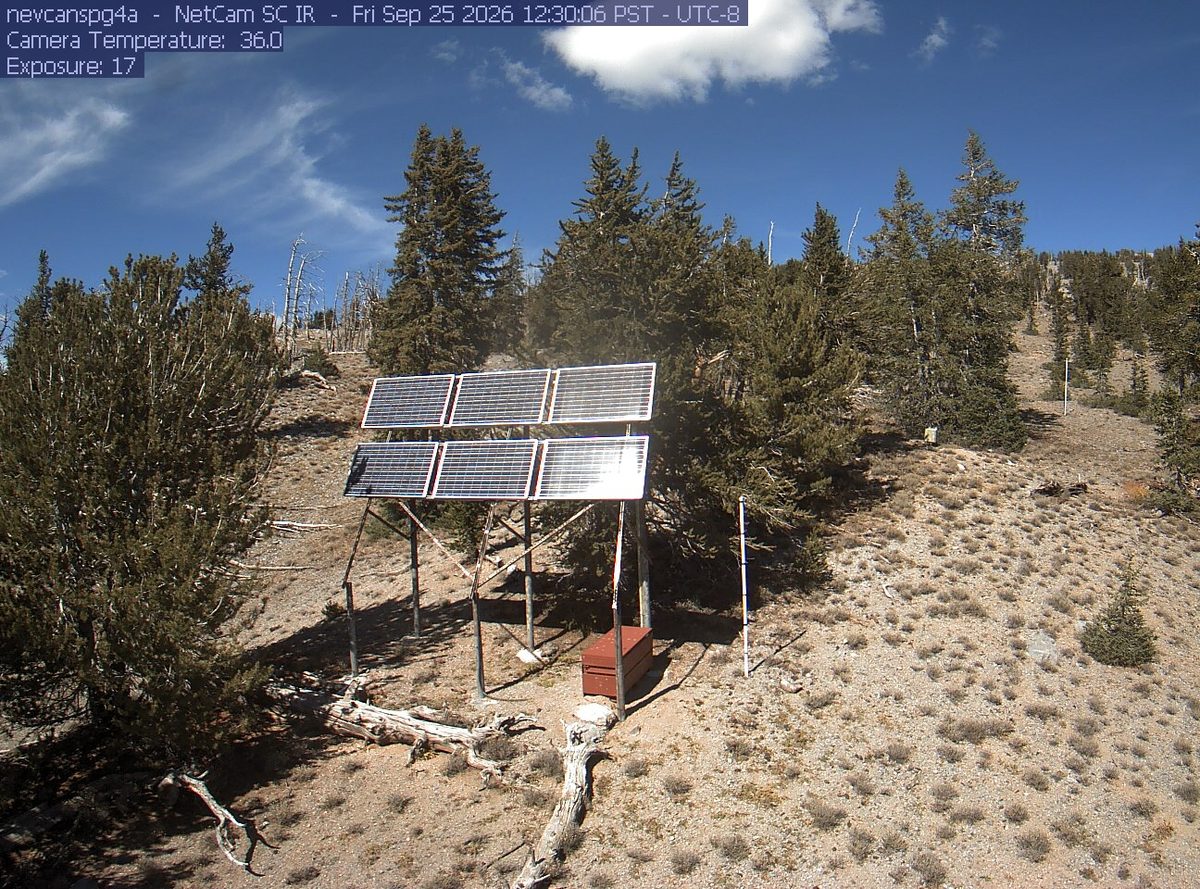
That’s 1 day later than our model alone would say. This September has been running warm, which shifts peak color.
Plan this tripIf you can only come on certain days
Set the days you can be here. Everything under them answers for those days, not for peak.
Monday 19 October to Tuesday 20 October
You’ll find it peak color.
That's the day our forecast puts peak color here.
- Where to drive
- Fish Lake Scenic Byway (UT 25), about 111 miles · Boulder Mountain (UT 12), about 132 miles · Nebo Loop, about 135 miles
- What turns
- quaking aspen, Gambel oak, bigtooth maple, serviceberry
What turns, and when
- quaking aspen43%
- Gambel oak29%
- bigtooth maple14%
- serviceberry14%
Also named across Utah, outside what the canopy read measures here: Narrowleaf Cottonwood, Rocky Mountain Maple.
Utah's fall is a dual show: aspens turn gold on the high plateaus while bigtooth maples along the Wasatch Front go vivid scarlet, creating one of the most colorful mountain fronts in the West.
Across Utah as a whole: Late September at high elevations, early-to-mid October along the Wasatch Front.
This forecast is built from the species that stand here, their elevation and this September’s weather, and corrected in season by cameras, foresters and our own crew. Out here we score it against NASA's satellite record of when the canopy shuts down, read inside each unit’s own boundary: two dates in three land within 12 days of it. How this map is made