Roadsides and wetland edges turn first, and the woods behind them run a few days later.
Weather Wind to 64 mph Friday. Color may come down before it turns.
No new reports from the ground here this week.
Still greenStartingNearly peakPeakPast peakNo fall canopy we forecastInside the line, each band of elevation is painted on its own date.
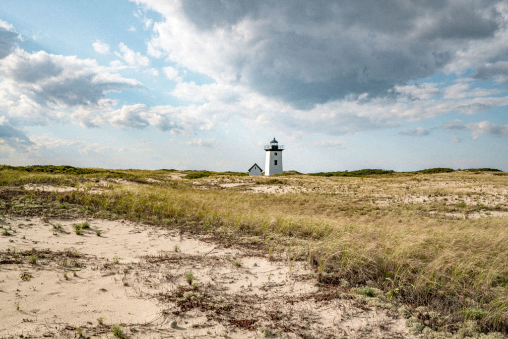
Around Cape Cod National Seashore Nearly all of the seashore is in Barnstable County, which is still green today.By elevation The seashore runs from about -7 to 99 feet. It turns together: there isn’t enough relief here for the color to come down in stages.
0–1,000 ftStill greenpeak Oct 2172%
-1,000–0 ftStill greenpeak Oct 2128%
SepOctNov
Height off 3DEP inside the seashore’s own boundary; each band carries the date our model gives that elevation, corrections and all. The percentage is how much of the seashore stands in it.
Latest daylight frame PhenoCam Network, Tidmarsh West camera, 42 km away, captured Sep 23.Plan this trip
If you can only come on certain days
Set the days you can be here. Everything under them answers for those days, not for peak.
Tuesday 20 October to Wednesday 21 October
You’ll find it peak color.
That's the day our forecast puts peak color here.
0–1,000 ftPeak colorpeak Oct 21
-1,000–0 ftPeak colorpeak Oct 21
Where to drive
Route 169, about 97 miles
What turns
sweetgum, blackgum, red maple, water oak, bald cypress
What turns, and when
sweetgum17%
blackgum17%
red maple17%
water oak17%
bald cypress13%
willow oak7%
Also named across Massachusetts, outside what the canopy read measures here: Sugar Maple, Red Oak, White Birch, American Beech.
The Berkshires produce classic New England color with sugar maples blazing orange and scarlet, birches going gold, and red oaks anchoring the ridges in deep burgundy.
This forecast is built from the species that stand here, their elevation and this September’s weather, and corrected in season by cameras, foresters and our own crew. We score it here against 27 long-running forest cameras: two dates in three land within 10 days of the camera’s own peak. How this map is made