
Peak color lands around Oct 10 in most of Maine, but it moves 13 days across the state. Here’s where, and when, and how sure we are.
Maine’s season, place by place
Every place we forecast in Maine, each set on the calendar at its peak and painted by how far along it is today, Sep 25.
First: Aroostook National Wildlife Refuge, Oct 2. Last: Rachel Carson National Wildlife Refuge, Oct 16.
The dashed rule is today; the solid one is the median of the places on this chart, Oct 9. The date at the top of the page is the median county, which includes the low ground between them.
The county map today
Where to go in Maine
The destinations we cover in Maine, in the order their color arrives. Each carries its own forecast and its own band, because a state isn’t one place.
- Aroostook National Wildlife RefugeNear peakPeak 2 Oct best 1 to 4 Oct
- Near peakPeak 4 Oct best 3 to 6 Oct
- Katahdin Woods and Waters National MonumentNear peakPeak 4 Oct best 3 to 6 Oct
- Umbagog National Wildlife RefugeToo earlyPeak 5 Oct best 4 to 7 Oct
- Too earlyPeak 6 Oct best 5 to 8 Oct
- Sunkhaze Meadows National Wildlife RefugeToo earlyPeak 8 Oct best 7 to 10 Oct
- Moosehorn National Wildlife RefugeToo earlyPeak 9 Oct best 8 to 11 Oct
- Baring Wilderness AreaToo earlyPeak 9 Oct best 8 to 11 Oct
- Edmunds Wilderness AreaToo earlyPeak 11 Oct best 10 to 13 Oct
- Seal Island National Wildlife RefugeToo earlyPeak 11 Oct best 10 to 13 Oct
- Too earlyPeak 13 Oct best 12 to 15 Oct
- Cross Island National Wildlife RefugeToo earlyPeak 13 Oct, silver maple 20 Oct best 12 to 15 Oct
- Too earlyPeak 14 Oct best 13 to 16 Oct
- Too earlyPeak 16 Oct best 15 to 18 Oct
When to go
Across 16 counties, peak color is forecast to arrive first in Somerset County around Sep 30 and last in Knox County around Oct 13. Most of the state peaks near Oct 10.
Each date is the middle of the four days we’d aim a trip at, and each place page names them. We score the model against 27 long-running forest monitoring sites in this part of the country and publish what it got wrong.
This autumn is running 1 day early in Maine. September has run cooler than the 1991 to 2020 normal so far, and the dates above already include that. It’s a real signal but a modest one: temperature explains under a tenth of how much peak color moves year to year.
3 of 16 counties here are corrected by people who have actually looked at the trees this season. 5 reports from official state sources have moved those dates off the model and narrowed their windows. Counties with neither keep the model forecast and say so. Which is which is marked in the table below.
Late September in the north woods, early-to-mid October downeast, late October on the coast is how Maine is usually described.
What actually turns
Maine's fall is defined by the contrast of scarlet maples and golden birches against dark spruce, with the rocky coast adding a blue backdrop that makes every color more vivid.
- Sugar Maple
- Red Maple
- White Birch
- American Beech
- Red Oak
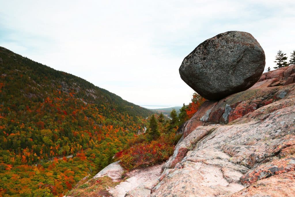
Acadia National Park peaks in the second week of October, and the view from Cadillac Mountain of color stretching to the ocean is one of the great fall sights in America.
Worth the drive
Hancock County on the Maine coast contains Acadia National Park, where the combination of ocean, granite, and hardwood color creates a fall experience unlike anywhere else in New England. The park's carriage roads offer car-free access to some of the best foliage, and Cadillac Mountain provides a 360-degree panorama of color stretching from the coast to the interior mountains.
Every county, by peak week
Elevation does most of the work here. Color runs down a mountain at roughly a day per 100 meters, so a ridge and the valley below it can be a week or two apart in the same county. On the coast the water adds its own delay, the shoreline itself 4 days behind the same trees inland.
Aroostook corrected, Franklin corrected, Oxford regional, Piscataquis, Somerset corrected
Androscoggin, Cumberland, Hancock, Kennebec, Knox, Lincoln, Penobscot, Sagadahoc, Waldo, Washington, York
Every date on this site is a forecast: a model corrected by ground reports, carrying a measured error, published in full. Check conditions with the land manager before you travel. Last reviewed September 2026. Open the live map