
Wilderness Area·Indiana·12,538 acres
Charles C. Deam Wilderness
Forecast issued Nov 9, 7:48am ET
Roadsides and wetland edges turn first, and the woods behind them run a few days later.
Weather Hard frost Friday night. Peak may come early and go fast.
4 reports came in from Monroe County this week, 2 of them past peak and 2 of them at peak. They moved our date 1 day later. See the county on the map.
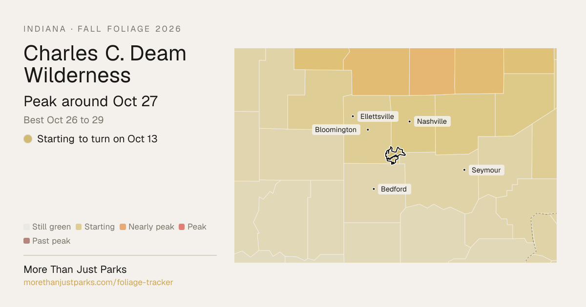
When is peak fall foliage at Charles C. Deam Wilderness in 2026?
Our forecast puts peak color at Charles C. Deam Wilderness around Oct 21, and the four days to aim for are Oct 20 to 23.
That's 2 days earlier than our model alone would say, because this season's reports from the ground moved it.
| Week | In the wilderness |
|---|---|
| Oct 5 to Oct 11 | Starting to turn |
| Oct 12 to Oct 18 | Nearly peak |
| Oct 19 to Oct 25 | Peak color |
| Oct 26 to Nov 1 | Just past peak |
That’s 2 days earlier than our model alone would say. This season’s reports from the ground moved it, and they outrank us.
Plan this tripIf you can only come on certain days
Set the days you can be here. Everything under them answers for those days, not for peak.
Tuesday, October 20 to Wednesday, October 21
You’ll find it peak color.
That's the day our forecast puts peak color here.
- Where to drive
- Route 46 through Brown County, about 13 miles
- What turns
- white oak, northern red oak, red maple, shagbark hickory, sweetgum
What turns, and when
- white oak31%
- northern red oak26%
- red maple19%
- shagbark hickory13%
- sweetgum3%
- blackgum3%
Also named across Indiana, outside what the canopy read measures here: Sugar Maple, Tulip Poplar, Sassafras.
Brown County's rolling hills of sugar maples turn vivid orange and scarlet, with sassafras adding electric orange and tulip poplars fading to clear gold in the hollows.
Across Indiana as a whole: Mid-October in the north, late October in Brown County and southern Indiana.
Questions people ask about Charles C. Deam Wilderness
- When is peak fall foliage at Charles C. Deam Wilderness?
Our forecast puts peak color at Charles C. Deam Wilderness around Oct 21, and the four days to aim for are Oct 20 to 23.
- Where is the best fall color at Charles C. Deam Wilderness right now?
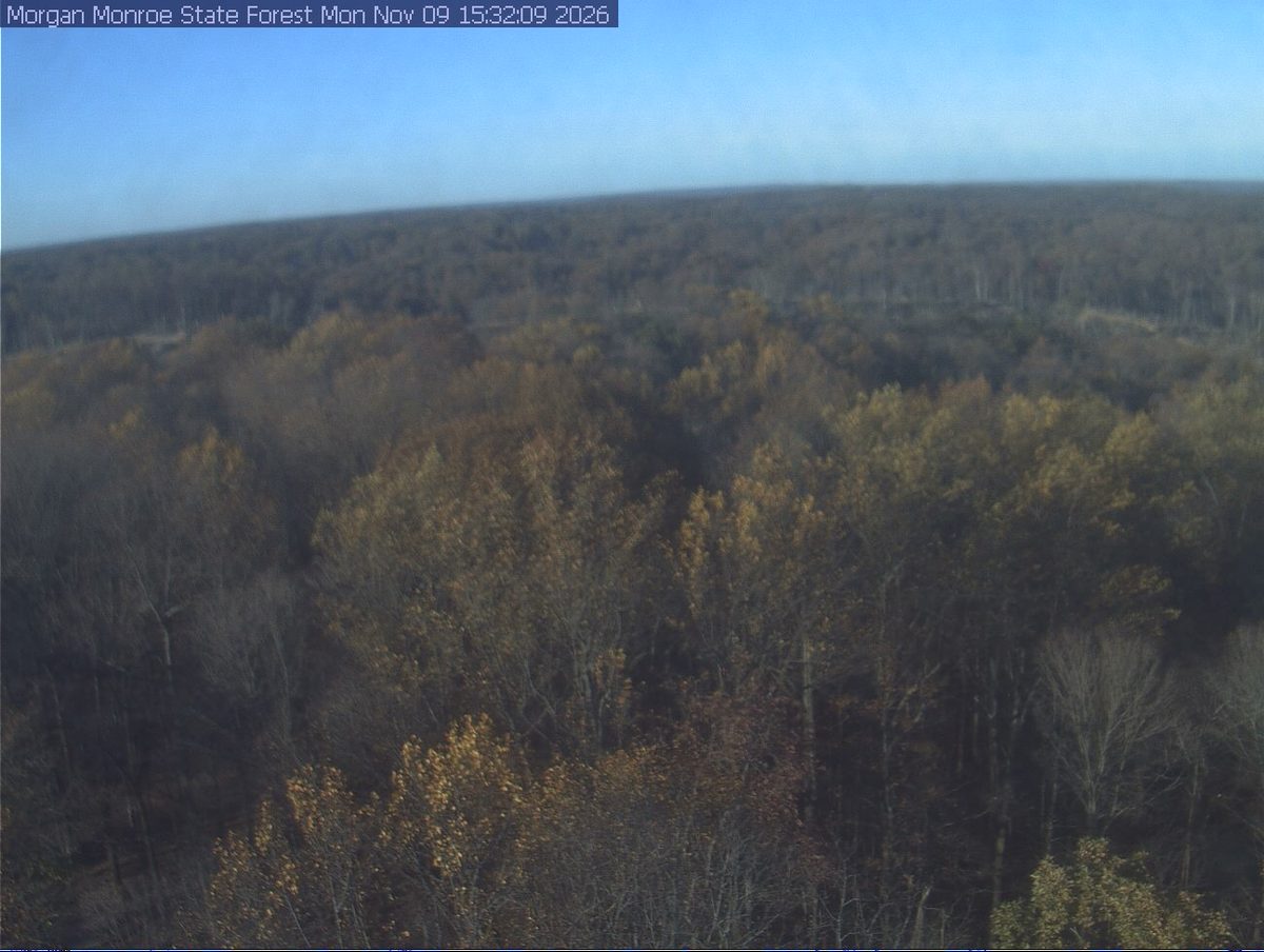
On Nov 9 the wilderness is fading.
- How long does peak last at Charles C. Deam Wilderness?
About four days at the top, Oct 20 to 23, with a week or so either side that's still worth the drive.
- Is Charles C. Deam Wilderness past peak?
Yes. Peak was around Oct 21, and on Nov 9 it's fading.
- What trees turn color at Charles C. Deam Wilderness?
Sugar Maple, Tulip Poplar, Red Oak, Hickory, Sassafras. Brown County's rolling hills of sugar maples turn vivid orange and scarlet, with sassafras adding electric orange and tulip poplars fading to clear gold in the hollows.
This forecast is built from the species that stand here, their elevation and this September’s weather, and corrected in season by cameras, foresters and our own crew. We score it here against 13 long-running forest cameras: two dates in three land within 9 days of the camera’s own peak. How this map is made
Nearby, and when they turn
Hoosier is on the map above, with its own date.
- Peak Nov 1 best Oct 31 to Nov 3
- Peak Oct 28 best Oct 27 to 30
- Peak Nov 2 best Nov 1 to 4
Fall color roads near Charles C. Deam Wilderness
Nearest first. Distances are straight-line from the wilderness, so allow more by road.
- Route 46 through Brown County
The heart of Indiana's Little Smokies. Brown County State Park and the artist colony of Nashville are the anchors. Peak is usually the last two weeks of October.