
Higher ground turns first, so the slopes above the road lead the valley by a few days.
1 report came in from Pima County this week, 1 of them still green. Our date held. See the county on the map.
- 7,000–8,000 ftStill greenpeak Oct 227%
- 6,000–7,000 ftStill greenpeak Oct 2514%
- 5,000–6,000 ftStill greenpeak Oct 2816%
- 4,000–5,000 ftStill greenpeak Oct 3113%
- 3,000–4,000 ftStill greenpeak Nov 325%
- 2,000–3,000 ftStill greenpeak Nov 524%
Height off 3DEP inside the park’s own boundary; each band carries the date our model gives that elevation, corrections and all. The percentage is how much of the park stands in it.
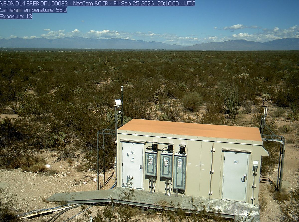
That’s 2 days later than our model alone would say. This September has been running warm, which shifts peak color.
The place
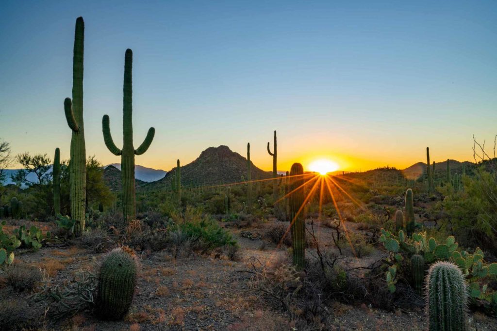
Two districts flank Tucson like bookends, and both exist for the same reason. The saguaro cactus can live 200 years, grow 40 feet tall, and weigh 6 tons when full of water. In late spring the tops erupt with white flowers that open at night and close by the next afternoon. Driving through a saguaro forest at sunset, with thousands of them throwing long shadows across the bajada, is one of the more surreal experiences in the park system.
Established 1994. About 946,000/year visitors.
If you can only come on certain days
Set the days you can be here. Everything under them answers for those days, not for peak.
Tuesday 3 November to Wednesday 4 November
You’ll find it just past peak up high, peak color lower down.
Up at 6,000 feet the stands peak around Oct 25; down at 3,000 feet they hold on until about Nov 5. Pick your elevation for the day you come.
- 6,000–7,000 ftJust past peakpeak Oct 25
- 5,000–6,000 ftJust past peakpeak Oct 28
- 4,000–5,000 ftJust past peakpeak Oct 31
- 3,000–4,000 ftPeak colorpeak Nov 3
- 2,000–3,000 ftPeak colorpeak Nov 5
- What turns
- honey mesquite, velvet ash, Fremont cottonwood, willow, bigtooth maple
- Entrance
- $25
What turns, and when
- honey mesquite33%
- velvet ash12%
- Fremont cottonwood12%
- willow12%
- bigtooth maple9%
- Arizona walnut6%
Also named across Arizona, outside what the canopy read measures here: Quaking Aspen, Gambel Oak, Arizona Sycamore.
Aspens on the San Francisco Peaks turn gold above 8,000 feet, Gambel oaks go orange and russet at mid-elevations, and cottonwoods line the creek bottoms in butter yellow.
This forecast is built from the species that stand here, their elevation and this September’s weather, and corrected in season by cameras, foresters and our own crew. Out here we score it against NASA's satellite record of when the canopy shuts down, read inside each unit’s own boundary: two dates in three land within 12 days of it. How this map is made