MTJP Corps · Eyes on America’s public lands
We are
the oneswho go.
A national community defending America’s public lands with boots on the ground. When the paperwork and the place tell different stories, one of us goes and sees for ourselves.
Free · Thirty seconds · Nobody sends you anywhere
Every acre they take,
they take on paper first.
A ranger writes no old growth in this unit. Nobody checks. The sale goes through, the road gets built, the trees come down, and the sentence that made it legal was wrong the whole time.
Here is the part almost nobody knows: before a decision like that is signed, the agency has to open it for public comment, usually for 30 days, and it has to answer what comes in. Anyone can write. You do not need a lawyer, a group, or a title.
Everything sent in during that window goes into one file, and that file is the only thing a judge is allowed to look at afterwards. Not what was true. What was on the record before the signature. A photograph of the actual ground, dated and located, is the one thing in there nobody can argue with.
There is a place.
There is a decision being made about it.
The paper can only tell you so much.
Somebody has to go look.
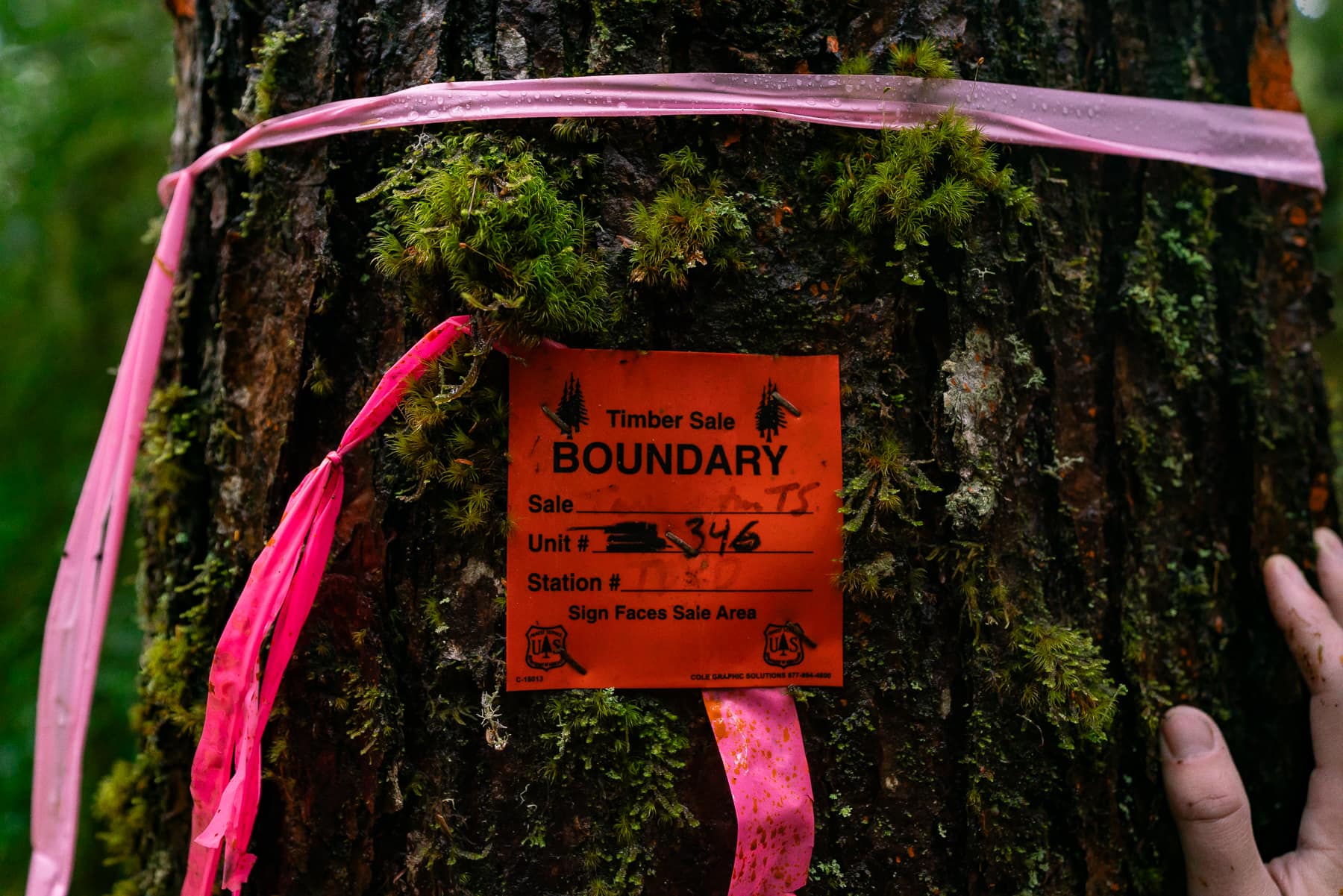
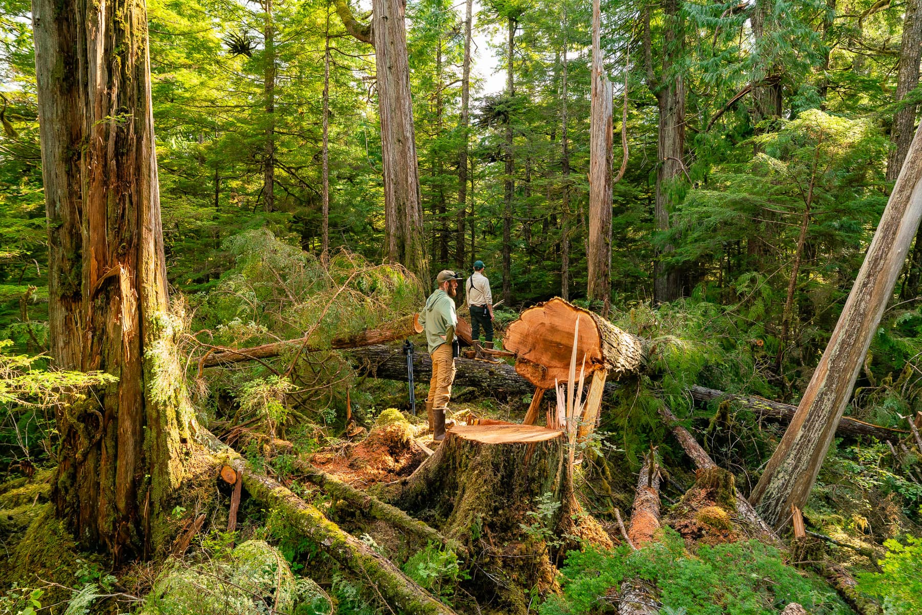 Tongass National Forest / More Than Just Parks
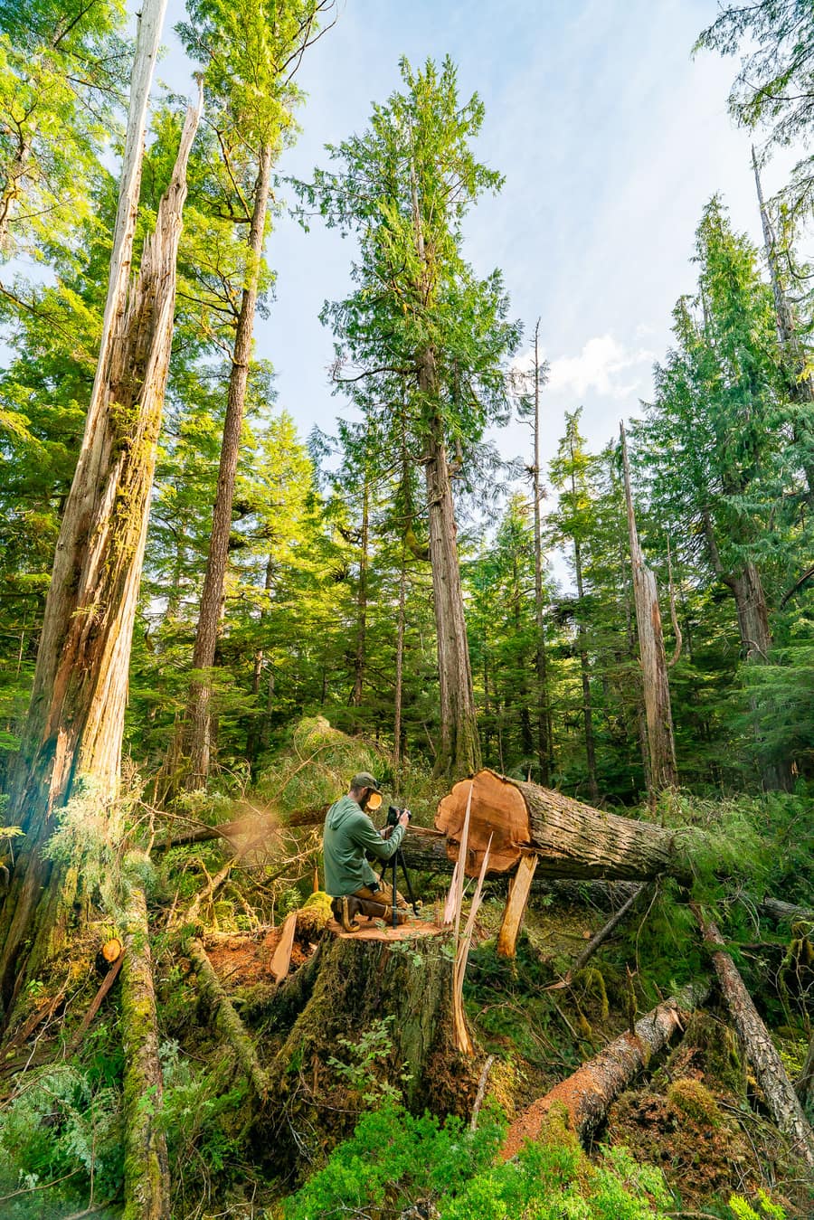
Approved on paper. Cut on the ground.
A unit the Forest Service signed off on, photographed after the saws came through. The Corps is who gets there first, while it’s still a sentence in a document and the trees are still standing.
Put yourself on the map.
Orange is a decision with an open window. An empty ring means nobody’s near it yet. Small dots are places the Corps watches between windows. Green is the Corps. Your dot lands somewhere in the rough 35-mile square you live in, never at your house and never your address.
Where eyes are needed right now
Every mission gets a number when it opens and the number is never reused. The next window shuts today. The clock is the agency’s own deadline.
evidence still counts
6 more missions need eyes right now. See all of them on the map.
You tell us your ground.
We tell you when it needs you.
- You tell us your ground. A ZIP and the places you already go. Thirty seconds, and it’s all we ever need from you.
- We tell you when eyes are needed. One email when a decision opens near you: what it is, what to look for, how far, how long.
- You go, or you don’t. What you find goes into your own comment, under your own name, and to the lawyers on the fight if you say so.
Evidence, not vibes.
This is why a lawyer can use what you send, and why an agency can’t wave it away.
A Saturday. A phone.
Public land.
Eleven short checklists, one of them a blank page for what only a local would know. Each one is a way of testing a sentence an agency wrote. Follow the steps, keep your originals, say what you saw.
Read the field guide. It’s the whole method, and it’s short.
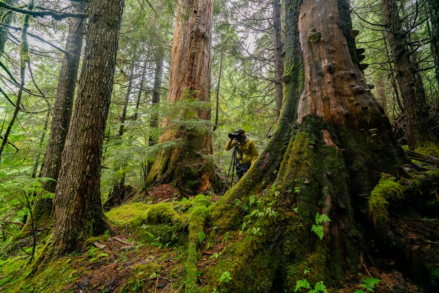
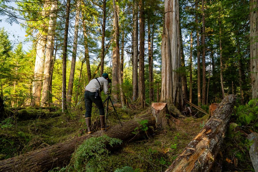
When the job requires more,
we go farther.
When nobody nearby can go, when the place is difficult, when the stakes are high, or when specialized documentation is required, the Strike Team deploys.
Small teams enter the field to document what is there, locate what has been overlooked, and bring back evidence tied to the exact places where decisions are being made.
I’m a groundtruther.
These are my public lands.
Ground-truthing is an old surveyor’s word. It means going to the place and checking whether the map is telling the truth. That is the entire job.
Possessive on purpose. The person who uses a place is the one who can defend it, on the record and in court. That’s the law of standing, and it’s why we ask where you go.
Hunters, anglers, hikers, climbers, paddlers, skiers, riders, birders, people who live down the road, people who’ve never once been called an activist. And the biologists, hydrologists, foresters, botanists, archaeologists and retired agency staff who know what they’re looking at. A record wants all of it.
Thirty seconds to a number.
Four screens. No password, no account, nothing to install. Numbers go out in the order people join and never get reused.
Where’s your ground?
Your ZIP puts you on the map as a region. The places you go are what we match missions to.