
Established
1980
Size
8,323,148 acres
Visitors / yr
82K
Entrance
Free
Best season
June through September
Nearest airport
ANC Ted Stevens Anchorage International
01
Why Wrangell-St. Elias is worth the trip
Alaska · Established 1980
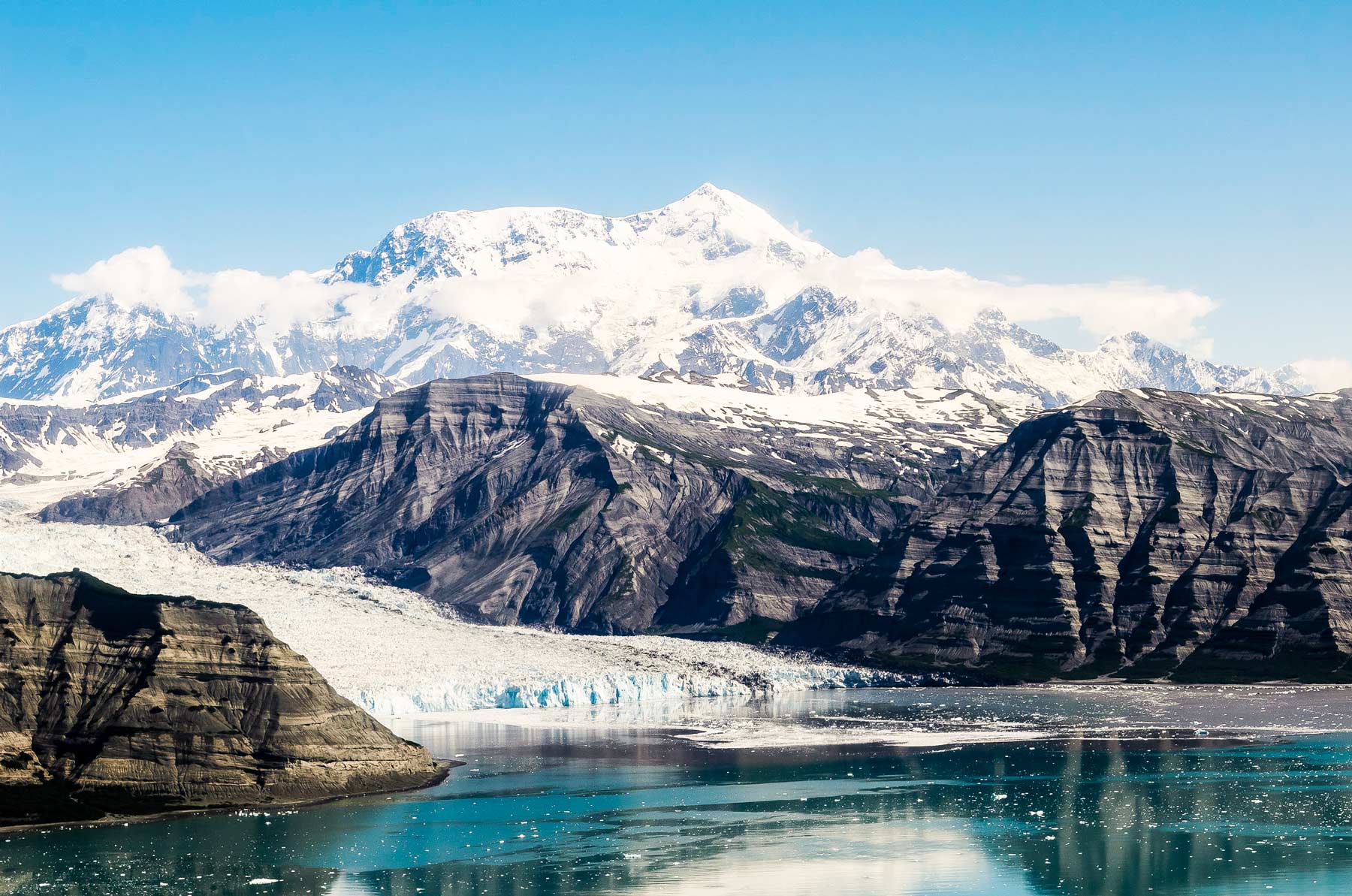
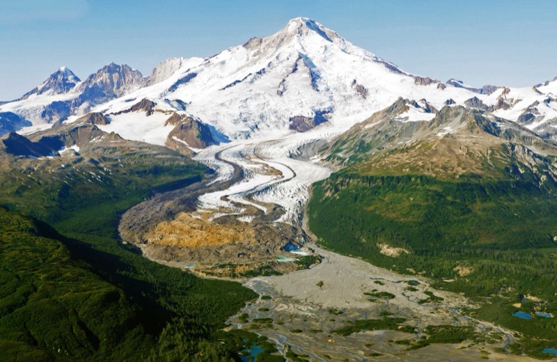
Wrangell-St. Elias is the country's largest national park, and no comparison really lands. Thirteen million acres, bigger than Switzerland, holding nine of the sixteen highest peaks in the United States and a glacier, the Malaspina, larger than Rhode Island. Yet nearly everyone who visits funnels down one gravel road to McCarthy, and that is not a mistake. It is the way in.
Kennecott anchors it, a copper boomtown abandoned in 1938 whose barn-red, 14-story mill still leans against a backdrop of ice. Walk onto Root Glacier from town with crampons, poke through the mill-town ruins, then look up at the peaks and understand that everything you can reach here is the front porch. Fly deeper if you can. This is a park where the map runs out before the land does.
02
Top things to do in Wrangell-St. Elias
Where we would start, and what we would plan a day around.
01
 Fishing · nps.gov
Fishing at Wrangell-St. Elias
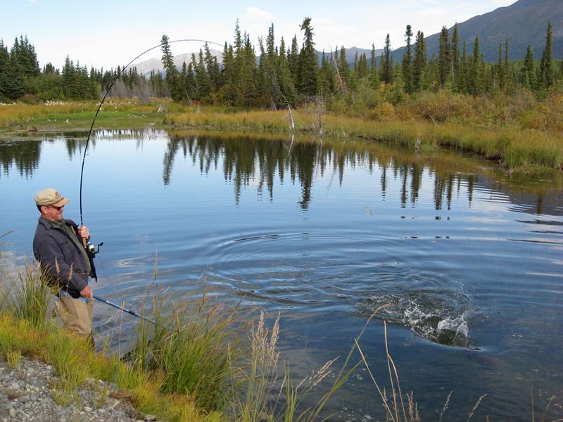
Sport fishing in Wrangell-St. Elias National Park offers many opportunities. Arctic grayling, dolly varden, lake trout, steelhead/rainbow trout, whitefish, sockeye salmon, coho salmon, and...
02
Fishing · nps.gov
Fishing at Wrangell-St. Elias
Sport fishing in Wrangell-St. Elias National Park offers many opportunities. Arctic grayling, dolly varden, lake trout, steelhead/rainbow trout, whitefish, sockeye salmon, coho salmon, and...
02
 Fixed Wing Flying · nps.gov
Ghost Towns
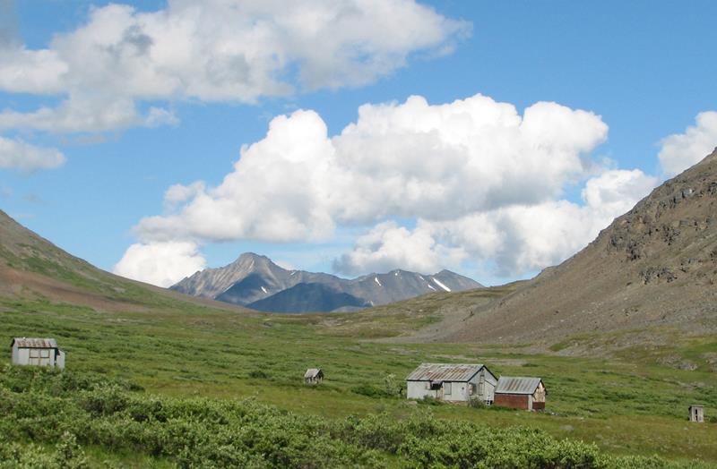
Ghost towns were once thriving communities that have dwindled over the decades, often created by the search for gold, copper and other valuable minerals....
03
Fixed Wing Flying · nps.gov
Ghost Towns
Ghost towns were once thriving communities that have dwindled over the decades, often created by the search for gold, copper and other valuable minerals....
03
 Front-Country Hiking · nps.gov
Front country Hiking Trails
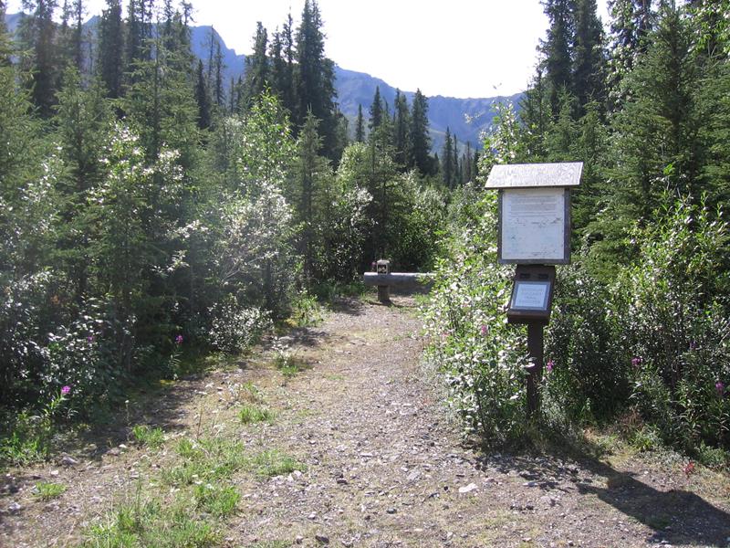
Hiking in Wrangell-St. Elias can be spectacular and we encourage you to go, but be prepared! Most of the front country hiking trails are maintained...
04
Front-Country Hiking · nps.gov
Front country Hiking Trails
Hiking in Wrangell-St. Elias can be spectacular and we encourage you to go, but be prepared! Most of the front country hiking trails are maintained...
04
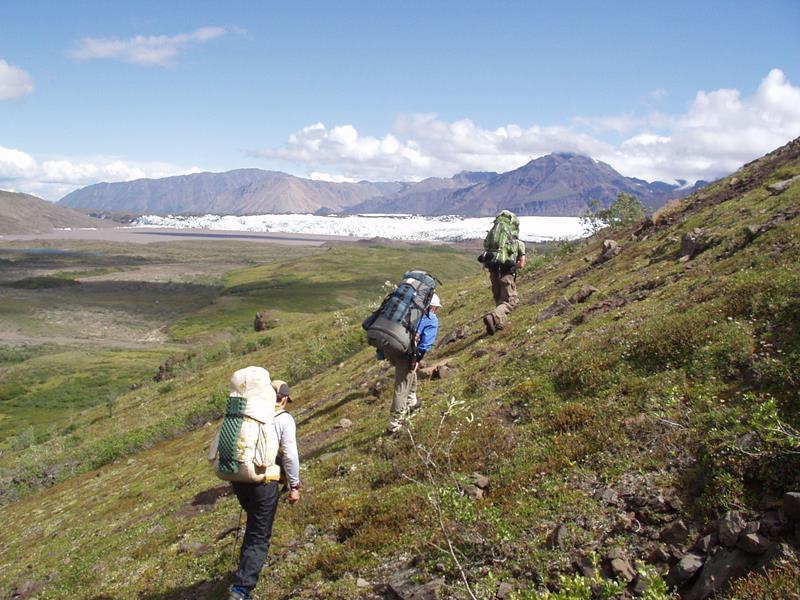 Backcountry Hiking · nps.gov
Backpacking in Wrangell-St Elias
A backpacking trip in Wrangell-St. Elias National Park and Preserve can be an exciting and rewarding experience if you are prepared for the difficulties...
Backcountry Hiking · nps.gov
Backpacking in Wrangell-St Elias
A backpacking trip in Wrangell-St. Elias National Park and Preserve can be an exciting and rewarding experience if you are prepared for the difficulties...
Fishing · nps.gov
Fishing at Wrangell-St. Elias
Sport fishing in Wrangell-St. Elias National Park offers many opportunities. Arctic grayling, dolly varden, lake trout, steelhead/rainbow trout, whitefish, sockeye salmon, coho salmon, and...
02
Fixed Wing Flying · nps.gov
Ghost Towns
Ghost towns were once thriving communities that have dwindled over the decades, often created by the search for gold, copper and other valuable minerals....
03
Front-Country Hiking · nps.gov
Front country Hiking Trails
Hiking in Wrangell-St. Elias can be spectacular and we encourage you to go, but be prepared! Most of the front country hiking trails are maintained...
04
Backcountry Hiking · nps.gov
Backpacking in Wrangell-St Elias
A backpacking trip in Wrangell-St. Elias National Park and Preserve can be an exciting and rewarding experience if you are prepared for the difficulties...
Before you go
Get the Wrangell-St. Elias heads-up
Permit windows, closures and seasonal alerts, plus our best Wrangell-St. Elias guides, in your inbox before you go. Free, no spam.
03
Plan your trip
Our guides for the big decisions, plus the gear, maps and lodging we would actually use for Wrangell-St. Elias.
Where to stay
Gateway towns with lodging, food and outfitters.
- McCarthy, AKGateway town
- Glennallen, AKGateway town
- Chitina, AKGateway town
- Kendesnii Campground 10 sites
Maps & guides
Carry paper. Cell service dies fast inside most parks.
Wrangell-St. Elias Trails Illustrated map
Waterproof National Geographic topo of the park.
View on Amazon
America the Beautiful pass
$80 a year. Covers entrance fees at more than 2,000 federal recreation sites.
Get the pass
What to bring
Field-tested picks we bring on park trips.
-
Bear SprayRequired carry in grizzly country. Practice the quick-draw before you need it. View on REI
-
Trekking PolesSave your knees on steep descents and river crossings. View on REI
-
Rain JacketMountain weather turns fast. Pack a shell even on clear mornings. View on REI
-
Fleece JacketMid-layer warmth for alpine mornings and evening campfires. View on REI
Getting there
- ANC Ted Stevens Anchorage International 250 mi
- CDV Merle K. (Mudhole) Smith (Cordova) 75 mi
Some links in this section are affiliate links. If you book or buy through them we earn a small commission at no extra cost to you. We only recommend what we would use ourselves.
Wrangell-St. Elias map
VC Visitor Center
CG Campground
Nearby Park
04
When to go
Loading weather...
Live Webcams


Month-by-Month Conditions
Tap any month for details
Month
High
Low
Crowds
Roads
Jan
5°
-12°
Low
Partial
Feb
16°
-5°
Low
Partial
Mar
28°
1°
Low
Partial
Apr
44°
21°
Low
Partial
May
58°
33°
Moderate
Open
Jun Best
67°
42°
Peak
Open
Jul Best
69°
46°
Peak
Open
Aug Best
65°
42°
Peak
Open
Sep Best
54°
33°
Moderate
Open
Oct
36°
18°
Low
Open
Nov
15°
-1°
Low
Partial
Dec
8°
-8°
Low
Partial
Best months to visit
Crowd level (low to peak)
05
More Wrangell-St. Elias guides
06
Parks near Wrangell-St. Elias
Within reach if you are building a longer trip.
Worth protecting
Wrangell-St. Elias belongs to all of us
Protections that took generations to win can be rolled back in a single session of Congress. We keep watch so they hold.
Stay in the Loop
Free dispatches on the parks and the policy fights around them, almost every day. Threats tracked, wins celebrated, no fluff.
Threatened Lands Map
Follow what's happening on federal lands across the country with our interactive map.
View the Tracker