
Open for comment · closes November 14
Approve pedestrian bridge over Nenana River floodplain before scour analysis is complete
National Park Service · Denali National Park and Preserve, Nenana River
- What
- The scour spreadsheet calculates up to 6.70 feet of pier scour under the standard equation but the document reports only 0.4 feet, a 17-fold difference that is never resolved.
- Where
- Denali National Park and Preserve, Nenana River, AK
- How much
- 250 feet main span length of proposed pedestrian bridge; 6.70 feet standard pier scour depth at 500-year event (HEC-18 eq. 7.3); 6.0 feet (100-yr and 500-yr) long-term degradation assumed at piers
- By when
- Comments to National Park Service by November 14, 2026.Date from National Park Service PEPC project page ↗, read October 31, 2026.
What to ask forAll 7 points →
The agency should supplement the hydraulic report with an explicit uncertainty analysis of the regression-derived discharges and explain how the design accounts for the upper bound of that uncertainty.
Where these four lines come from
- WhatOur plain-English read of the NPS Planning (PEPC) project page ↗. Check it against the agency’s own words under Case.
- WhereThe places and states the project page names, as PLAN read them.
- 250 feet“The proposed trail crossing will include a 340-foot bridge that consists of a 250-foot main span.” 1.3 Open the document ↗
- 6.70 feet“yS (7.3) SCOUR DEPTH, m, ft 5.22 6.70” Appendix B Open the document ↗
- 6.0 feet (100-yr and 500-yr)“Long-term Degradation (ft) NA NA NA 6.0 6.0” Table 3 Open the document ↗
- By whenNovember 14, 2026, from National Park Service PEPC project page, the document’s comment period ↗. Read October 31, 2026.
- Read from PLAN’s record October 31, 2026.
Two ways to be heard on this, and both count. Comment for the legal record, then call the members who answer to you.
Comment now7 holes in the agency’s own analysis
Make these points, in your own words
The document admits the site is unmapped by FEMA and that no stream flow data is available at the crossing, yet it relies entirely on USGS regression equations for an ungaged basin to derive peak discharges.Read the point +
Regression equations carry substantial uncertainty bands that are not disclosed anywhere in the document. Section 3.1 states 'No stream flow data is available for the river near the crossing site,' but the document never quantifies the uncertainty range around the regression-derived peak discharges in Table 1, never evaluates how that uncertainty propagates into the scour and water-surface-elevation results, and never explains why the regression method is adequate given the glacial, ice-jam-prone character of the river. The agency should supplement the hydraulic report with an explicit uncertainty analysis of the regression-derived discharges and explain how the design accounts for the upper bound of that uncertainty.
The scour calculations in Appendix B show that the standard HEC-18 pier scour equation (equation 7.3) produces scour depths of 5.22 feet for the 100-year event and 6.70 feet for the 500-year event, yet Table 3 in the main body reports pier scour of only 0.2 feet and 0.4 feet, respectively, citing the coarse-bed equation (equation 7.34).Read the point +
The document justifies the coarse-bed equation solely because D50 exceeds 0.8 inches, but it never explains why armoring will be maintained during the extraordinary ice-jam and debris conditions the document itself describes at length, conditions that are known to strip armor and expose finer substrate. The agency should provide a written justification for rejecting the standard equation results and demonstrate that armor will not be disrupted by the ice-jam forces it already acknowledges.
The document describes ice jams that can reach 6 feet in height, layered ice sheets 3 to 4 feet thick, and abrasion on the existing highway bridge piers that extends 'up to the top of the casing (and possibly above),' suggesting ice forces may already reach the 100-year flood elevation.Read the point +
Despite this, the flood risk analysis in Section 3.2 dismisses public safety risk by saying 'water levels typically rise slowly over the course of hours or days,' without addressing the sudden, unpredictable nature of ice-jam releases. The document never models ice-jam surge elevations or quantifies warning time for ice-jam break events. The agency should conduct or commission an ice-jam flood hazard analysis specific to this site and incorporate the results before finalizing the design.
The document states that 'geotechnical borings did not indicate bedrock near the streambed surface,' meaning the piers will be founded in unconsolidated alluvial or glacial material, yet the long-term degradation value in Table 3 is listed as 6.0 feet for both the 100-year and 500-year events.Read the point +
The document never explains the basis for that 6.0-foot long-term degradation estimate or whether a geotechnical report was completed and reviewed. Appendix B shows the abutment scour section of the HEC-18 spreadsheet is entirely blank, with every output showing either zero or a division error, meaning abutment scour was not calculated. The agency should complete the abutment scour analysis and provide the geotechnical report that supports the long-term degradation assumption.
The document acknowledges that 'bank erosion and lateral shift of the channel thalweg on the north side of the river is expected to naturally occur over the life span of the new bridge' and that the north abutment has been set back approximately 15 feet from the steep bank face.Read the point +
However, it never states the expected rate of lateral bank retreat, never defines the design life of the bridge, and never quantifies whether 15 feet of setback is sufficient for the anticipated migration over that design life. The north bank is described as a 50-foot bluff of sandy lean clay subject to undercutting and slumping. The agency should provide a quantitative bank-migration rate estimate and demonstrate that the 15-foot setback is adequate for the full design life of the structure.
Section 3.2 states the project has 'low to moderate risk to infrastructure' and that 'the proposed bridge is not expected to increase flooding of adjacent property or insurable structures,' but the document never quantifies backwater effects on the nearby boat launch, the Denali Park Village residential and commercial buildings, or the Parks Highway 3 bridge piers that are only 520 feet away.Read the point +
The modeling results in Appendix A are presented as maps without tabulated water-surface change values showing before-and-after conditions at these structures. FHWA policy cited in the document allows up to a one-foot rise, but no rise calculation is presented. The agency should provide a tabulated water-surface change analysis at the highway bridge, the boat launch, and the village structures for both the 100-year and 500-year events.
The document states that the Value Methodology workshop held September 11, 2025 evaluated bridge types and selected the steel truss as the preferred alternative, and that the preliminary hydraulics report by Neighorn is dated 2026, meaning the hydraulic analysis was completed after the design type was selected.Read the point +
The scour calculations in Appendix B also reference a 4-foot diameter pier in the column headers while the main text and summary specify a 6-foot diameter pier, a discrepancy that is never explained and that directly affects the pier scour result. The agency should clarify which pier diameter governs the design, rerun the scour analysis with the correct diameter, and confirm that the hydraulic analysis informed rather than post-justified the design selection.
Say something only you can say. The law requires the agency to consider and respond to substantive comments, and specifics are what make a comment substantive.
Protective action worth supporting
The scour spreadsheet calculates up to 6.70 feet of pier scour under the standard equation but the document reports only 0.4 feet, a 17-fold difference that is never resolved.
What’s at risk
If we stay silent
Our plain-English read of the official notice ↗. Check it against the agency’s own words below.
By the numbers, from the agency’s own document
- Main span length of proposed pedestrian bridge
1.3
Open the document ↗“The proposed trail crossing will include a 340-foot bridge that consists of a 250-foot main span.”
- Standard pier scour depth at 500-year event (HEC-18 eq. 7.3)
- Long-term degradation assumed at piers
- Distance from new bridge to existing highway bridge
1.2
Open the document ↗“The proposed crossing is located on the north side of Denali Park Village immediately west of the boat launch area and 520-feet east of the Parks Highway 3 bridge.”
Source: the agency’s document ↗
The agency’s own analysis
What the notice says, and what it leaves out
Each one is a point a letter can put on the record.
The agency says
“No stream flow data is available for the river near the crossing site.”
The document admits the site is unmapped by FEMA and that no stream flow data is available at the crossing, yet it relies entirely on USGS regression equations for an ungaged basin to derive peak discharges.
The agency says
“The streambed D50 material size exceeds 0.8 inches, indicating that the channel bottom is armored.”
The scour calculations in Appendix B show that the standard HEC-18 pier scour equation (equation 7.3) produces scour depths of 5.22 feet for the 100-year event and 6.70 feet for the 500-year event, yet Table 3 in the main body reports pier scour of only 0.2 feet and 0.4 feet, respectively, citing the coarse-bed equation (equation 7.34).
The agency says
“When these jams break, the sudden release of water and ice can scour the riverbanks.”
The document describes ice jams that can reach 6 feet in height, layered ice sheets 3 to 4 feet thick, and abrasion on the existing highway bridge piers that extends 'up to the top of the casing (and possibly above),' suggesting ice forces may already reach the 100-year flood elevation.
The agency says
“Geotechnical borings did not indicate bedrock near the streambed surface.”
The document states that 'geotechnical borings did not indicate bedrock near the streambed surface,' meaning the piers will be founded in unconsolidated alluvial or glacial material, yet the long-term degradation value in Table 3 is listed as 6.0 feet for both the 100-year and 500-year events.
The agency says
“Bank erosion and lateral shift of the channel thalweg on the north side of the river is expected to naturally occur along the outside of the river bend.”
The document acknowledges that 'bank erosion and lateral shift of the channel thalweg on the north side of the river is expected to naturally occur over the life span of the new bridge' and that the north abutment has been set back approximately 15 feet from the steep bank face.
The agency says
“The proposed bridge is not expected to increase flooding of adjacent property or insurable structures.”
Section 3.2 states the project has 'low to moderate risk to infrastructure' and that 'the proposed bridge is not expected to increase flooding of adjacent property or insurable structures,' but the document never quantifies backwater effects on the nearby boat launch, the Denali Park Village residential and commercial buildings, or the Parks Highway 3 bridge piers that are only 520 feet away.
The agency says
“Location Description 100-year for 4' Diameter Pier 500-year for 4' Diameter Pier”
The document states that the Value Methodology workshop held September 11, 2025 evaluated bridge types and selected the steel truss as the preferred alternative, and that the preliminary hydraulics report by Neighorn is dated 2026, meaning the hydraulic analysis was completed after the design type was selected.
In the agency’s own words
DENA Nenana River Pedestrian Bridge FSOF
The groups on this fight
4 groups predicted likely to care in Alaska
Predicted likely to care is a guess from the group's sourced work in Alaska, with no link to this decision. Give straight to them; nothing routes through us.
- Alaska Wilderness League
Predicted likely to care · a guess
Arctic National Wildlife Refuge, Alaska: Built around defending the Arctic Refuge from oil and gas drilling.
- Friends of Alaska National Wildlife Refuges
Predicted likely to care · a guess
Izembek National Wildlife Refuge, Alaska: Lead plaintiff in the November 2025 federal suit challenging the land exchange signed to put a road through the Izembek Wilderness.
- Northern Alaska Environmental Center
Predicted likely to care · a guess
Gates of the Arctic (Ambler Road), Alaska: First-named plaintiff in Northern Alaska Environmental Center v. Trump, the Ambler road suit filed in 2020.
- Southeast Alaska Conservation Council
Predicted likely to care · a guess
Tongass National Forest, Alaska: Southeast Alaska’s homegrown defender of the Tongass since 1970.
Every group above is on STAND for Public Lands, with its court record, its filings and who backs it.
Who signs it
The notice names no signer PLAN could read. PLAN names a decision-maker only when the document names one.
The ground
This fight isn’t bound to a map place in PLAN’s record yet. The notice names Denali National Park and Preserve, Nenana River (AK); none is a unit on the threatened lands map, so there’s no place page to open or watch.
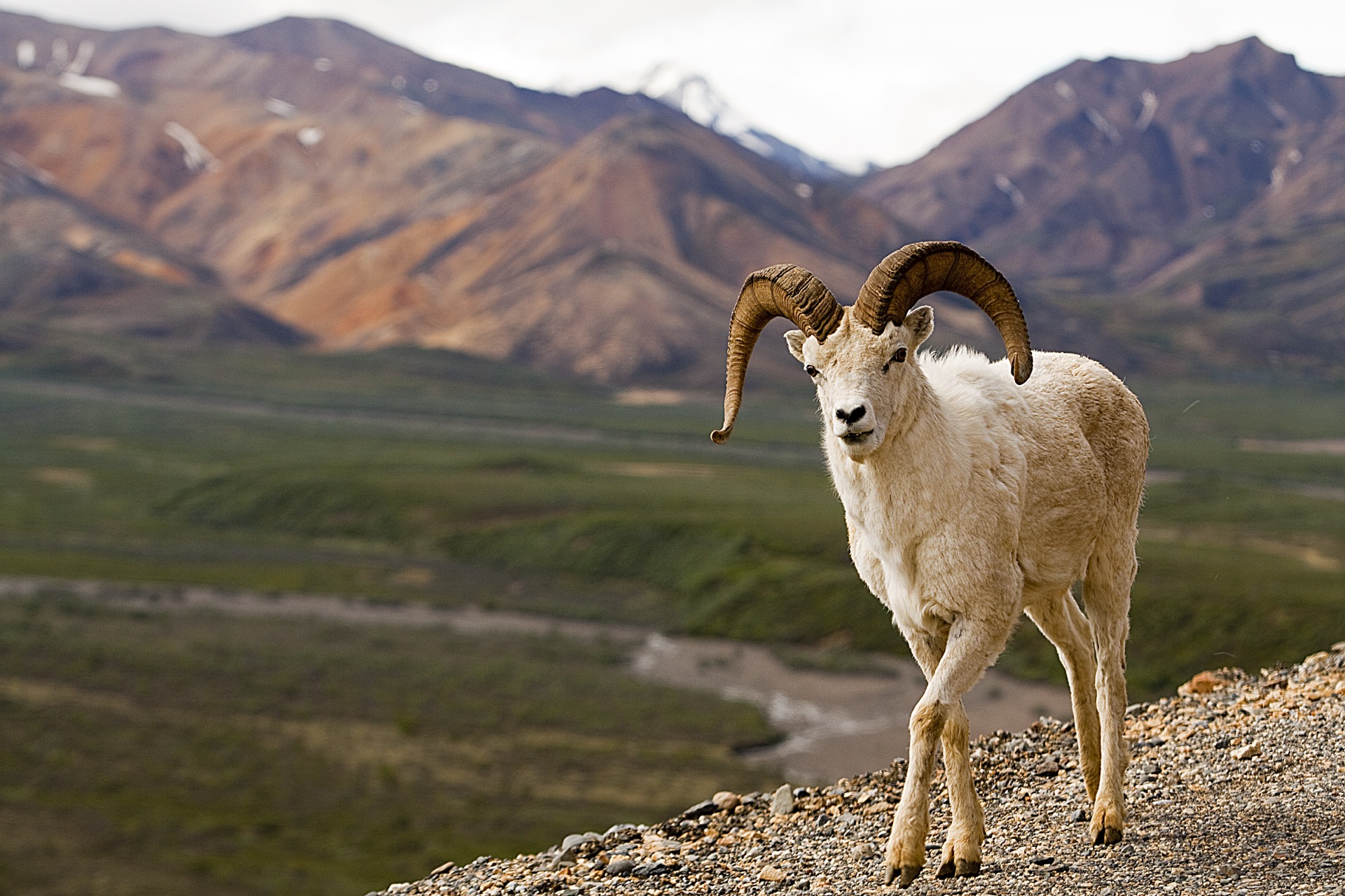
The photograph on this page: Dall sheep ram above the valley, Denali National Park, Alaska. More Than Just Parks.
In court on this ground
This fight isn’t bound to a land unit in PLAN’s record yet, so there are no court cases to show for its ground.
Who holds the vote
PLAN’s record doesn’t tie a member of Congress to this fight yet. The scorecard grades the votes and bills that decide public lands; nothing joins a vote or a bill to this decision, so there’s no member to name here without guessing.
See how your members vote ↗Calling your two senators and your representative is the Call door on this page.
NPS PEPCWe track this on the agency’s own system of record, where most on-the-ground decisions live.
Know an open comment period we are missing, or spotted a wrong deadline? .
More fights that need you
Go deeper, free
See how your members of Congress vote on public lands
Every representative, graded on the votes that decide the fate of parks, forests, and refuges.
Open ↗The mapSee the places under active threat
A live map of the parks, monuments, and wild country in the crosshairs right now.
Open ↗A wrong fact, a dead link, a form that wouldn’t take your letter: one tap and it comes to the people who build PLAN, with this fight attached.