
Rhode Island’s public lands, and the decisions deciding them.
Every open federal comment window that touches Rhode Island, in plain English. Comment on the official record, call your delegation, and make it a habit.
Who speaks for Rhode Island on public lands
Public-lands grades come from our Congressional Scorecard: every roll-call vote that decides the fate of parks, forests, and refuges. A call from a constituent carries real weight.
Open in Rhode Island right now
Nothing names Rhode Island specifically today. The nationwide rules below still decide what happens on Rhode Island’s federal land, and the alert form will tell you the moment something closer to home opens.
Nationwide decisions that include Rhode Island
Stop reopening Pacific Remote Islands Monument waters to commercial fishing
NMFS would lift the commercial fishing ban in protected waters around Johnston Atoll, Wake Island, and Jarvis Island.
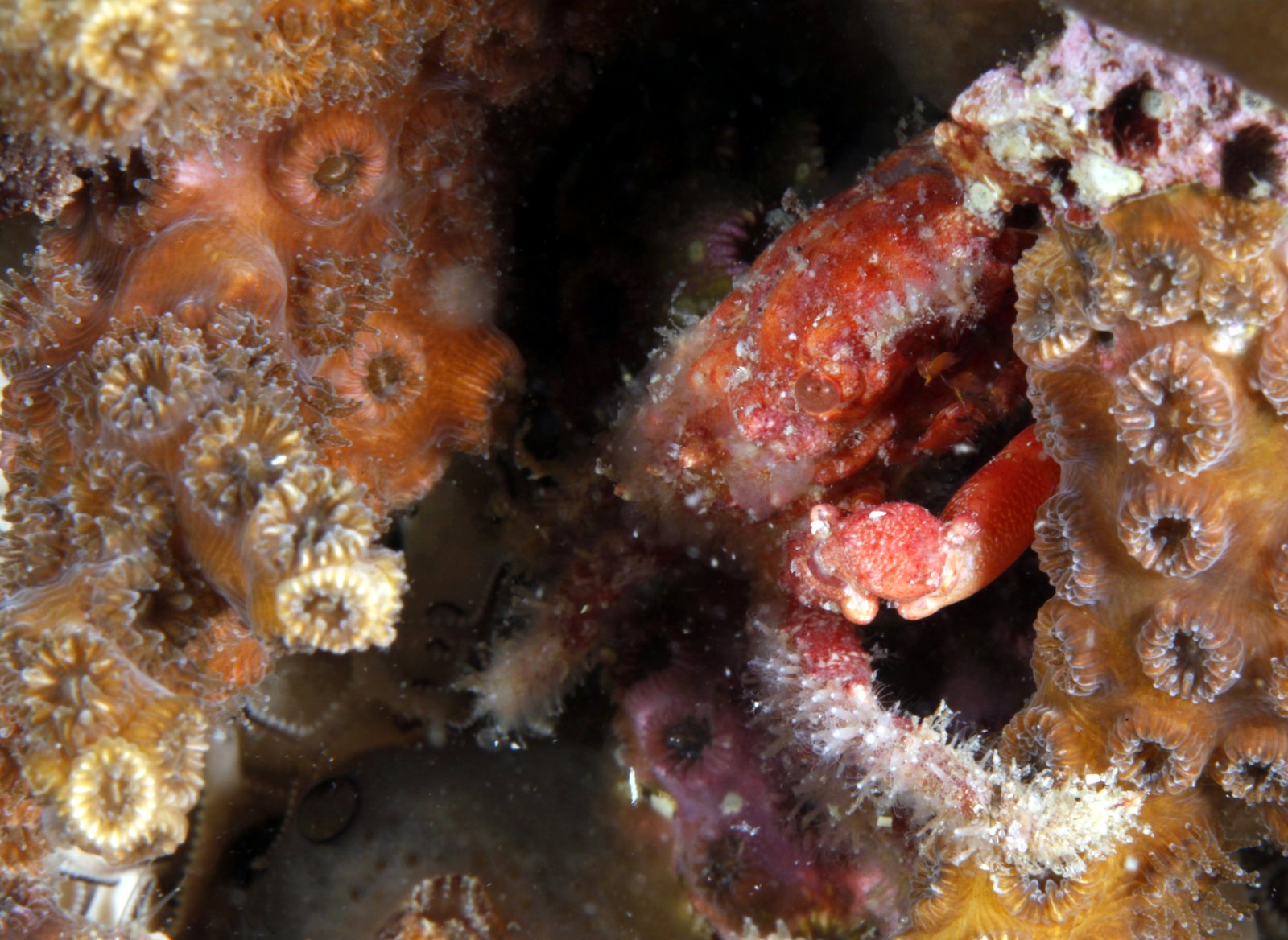
Stop opening 14.10 square nautical miles of protected coral habitat to trawling
NOAA proposes reopening 14.10 square nautical miles of the Oculina Bank Habitat Area of Particular Concern to rock shrimp trawling, on the same boundary it disapproved in 2022 for failing to protect essential fish habitat and minimize bycatch.
Stop Capling SR29 Mine from filling 5.15 acres of freshwater wetlands
A commercial excavation mine would permanently destroy 5.15 acres of freshwater herbaceous wetlands along the SR 29 corridor.
Stop the Grand Island plan before NEPA analysis is done
The Forest Service is finalizing a comprehensive multi-zone management strategy affecting over 20,000 annual visitors without identifying any NEPA pathway, environmental analysis, or formal scoping process.
Comment now on Amache's long-term plan before December 3
The agency is asking the public to choose between two development concepts for a site that incarcerated more than 10,000 Japanese Americans, without providing any environmental analysis, archeological survey results, or consultation record to support either choice.
Shape the next management plan for Gray's Reef Sanctuary
NOAA is rewriting the rules for Gray's Reef and needs public input now.
Comment now on the proposed 37,714-acre Green Bay Reserve designation
NOAA is proposing to designate a reserve of approximately 37,714 acres across three components of the Green Bay estuary while deferring all project-level environmental review to future, unspecified processes.
Finalize the Harriet Tubman Underground Railroad GMP without required analysis
The plan proposes to manage a park receiving upward of 100,000 visitors per year across an 11,750-acre federal boundary without completing the statutory carrying capacity analysis or a NEPA alternatives comparison.
Get the Rhode Island actions that need you, in your inbox.
We watch the Federal Register so you don’t have to. When a decision touches Rhode Island, you get the deadline and the explainer. No noise.